Hike started just after 10am. Even in the first weekend in May, the parking lot at Carvers Gap is starting to fill up. It was an absolutely gorgeous morning/afternoon weather-wise. So perfect that I do not think a single hiker broke a sweat. The hike trekked through the fir forest along the AT for 2 miles, past the Roan High Knob AT shelter and the site/remains of the Cloudland hotel. About 1 mile in, there was a recently downed tree across the trail that involved some climbing over. We passed several section or thru hikers on the trail. After 2 miles on the AT, we continued on the Cloudland Trail for another mile to enjoy the Roan High Knob Bluff overlook all to ourselves for a great rest break and lunch. There was a neat splintered tree from a very recent lightening strike on the Cloudland Trail section. Then we hiked back the way we came, for a round-trip mileage of approx. 6.9 miles (~4.5 total miles on the AT). Gary Bond attended (a new member and previous thru hiker) and was a great companion for the trip with myself and my wife, Jackie.
3/27 Watauga Dam AT Hike
We were able to log another 7.6 miles on the Appalachian trail last Saturday. Unfortunately we were caught in the rain just as we were crossing the dam on our return trip. Good times and lively conversation were had by all, and nobody died. Attendees, Jonathan Shumaker, Teni Butler, Alex Lyttle, Rachel Stammen.
TEHCC Hike Report: Rattlesnake Ridge 3/13/21
Hike came in at 8.55 miles, 2442 ft of elevation. Trail condition was good, a few thorn bush stalks crossing the trail towards the top of the trail. No access issues.
Attendees:
Jacob Lustik
June newsletter released!
The 2017 June newsletter has been released. If you don’t read it, you’ll be missing out on a lot of good information.
- TEHCC receives the 2017 Pinnacle Volunteer Award
- ATC SORO Hires new Trail Facilities Managers
- Usage of L. L. Bean grant for purchase of saws
- …And more!
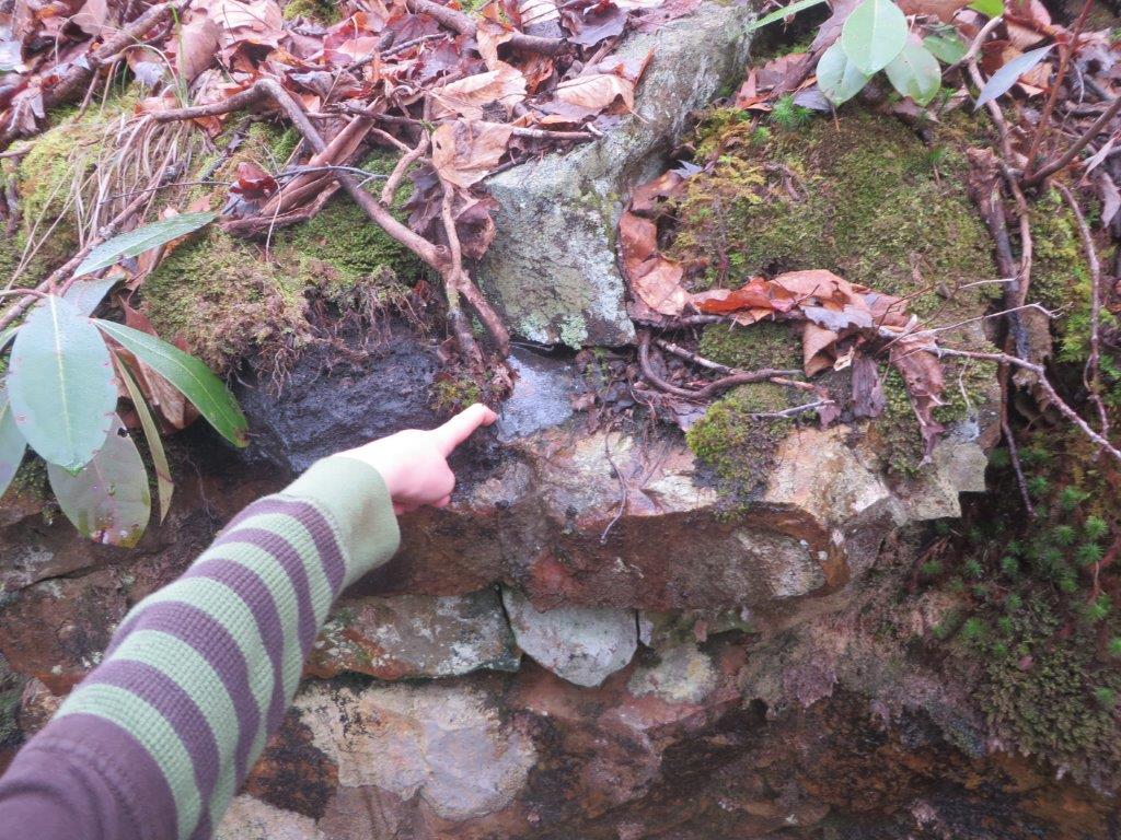
Iron Mountain Gap to TN 19E Water Report: Nov 11-13, 2016
We have a water conditions report from an area hiker. This was in early November. Hopefully this will improve with the rain in the forecast this week.
Iron Mountain Gap to TN 19E Water Report. I hiked with a good group of people over this section on November 11-13, 2016.
Here is a report on water based on listings in the AWOL guide (going north):
- Campsite 1.3 North of Iron Mountain Gap: Did not check due to being .1 off the trail
- Greasy Creek Gap: Did not check due to being .2 off the trail
- Clyde Smith Shelter: Had lunch here and took the time to walk down to check out the water source. No water available. Ground was not even damp.
- Water .4 North of Hughes Gap: Damp ground by no water
- Ash Gap: Very low flow of water. We had to build a dam and clear a path for the water. One of the crew used a piece of PVC to try and get the top water, but it was still sludge. Between engineering, low flow, filtering through a bandana, and then through a Sawyer, it took us almost two hours to get six clean liters of water. If it had not been at dusk and we were not tired, we would have moved on. I would not count on the water here.
- Roan High Knob Shelter: Slow steady flow with good pool to dip from.
- Footbridges/Streams south of Carvers Gap: Low flow. Would need to dig or find a hole to dip from.
Springs .2 North of Grassy Ridge Bald: Good flow running right across the trail. One was piped and the other could easily be dipped from. - Stan Murray Shelter: Did not check due to earlier reports of being dry and frequently dry.
- Overmountain Shelter: Good flow
- Doll Flats: Very low flow. Took almost five minutes to get 1.5 liters. There was good flow coming from a spring running across the trail about .5 south of Doll Flats.
- Doll Flats to 19E: The next water we saw was the stream that was alongside 19E and that ran about .5 south of 19E.
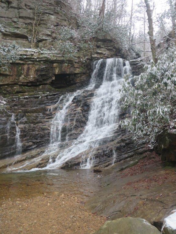
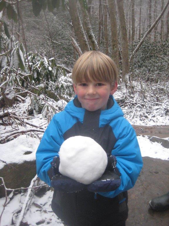
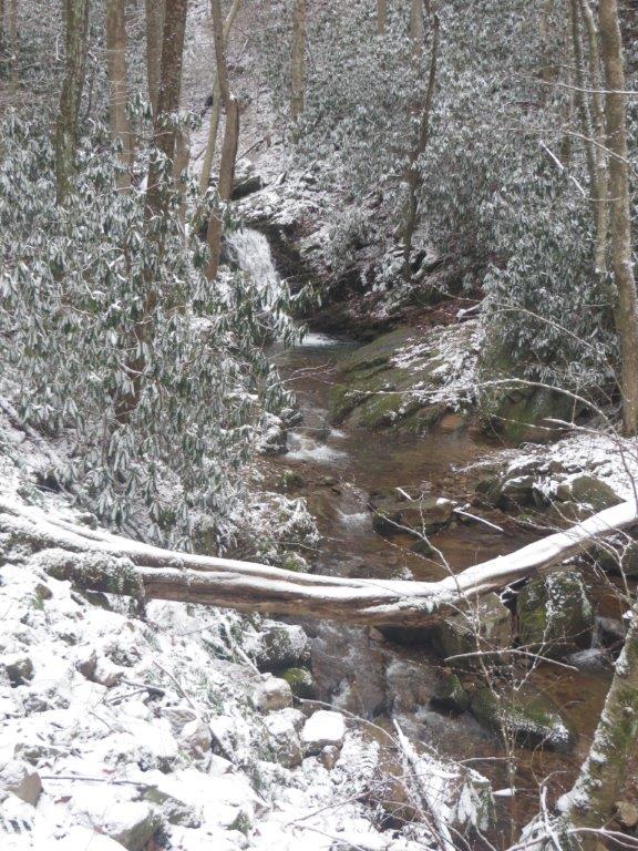
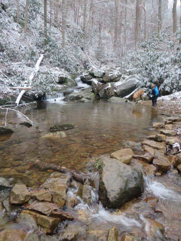
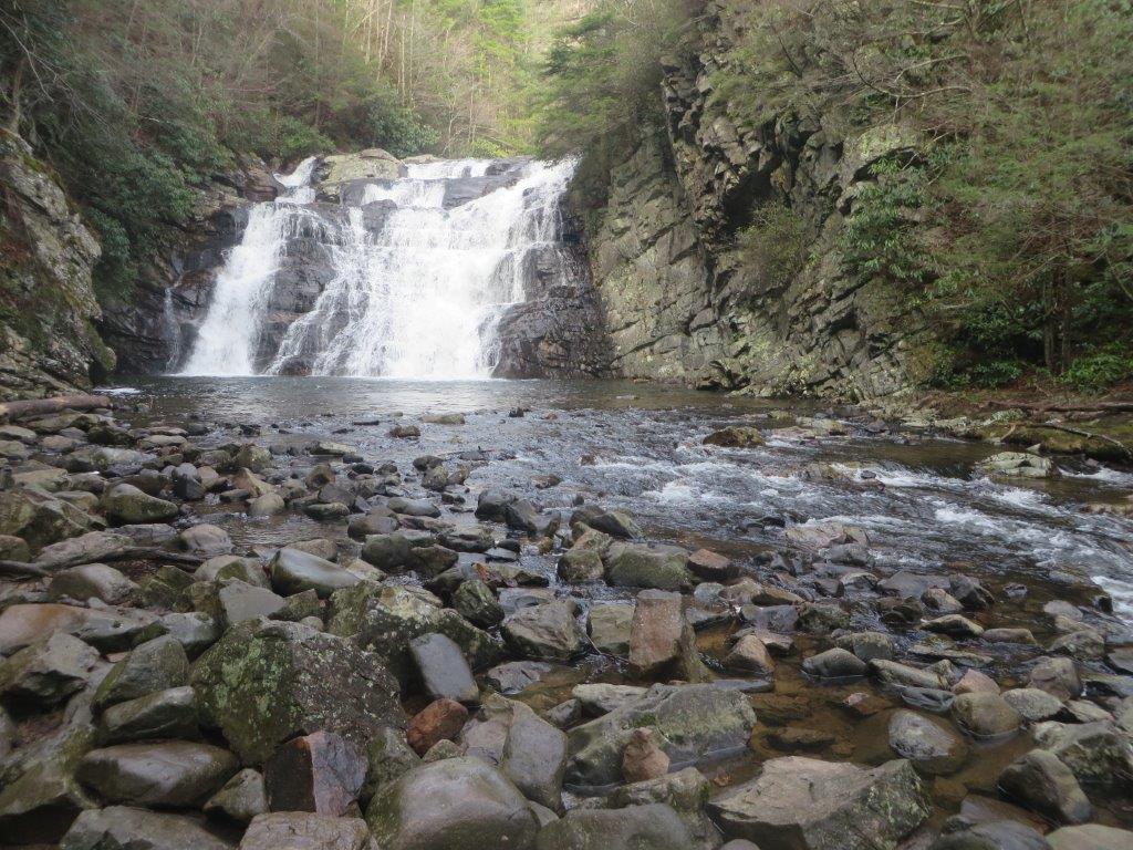
Trip Report – Margarette Falls
Trip Date: January 17th
Schaefer Family Reporting
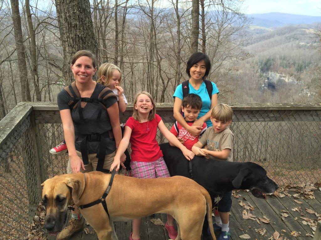
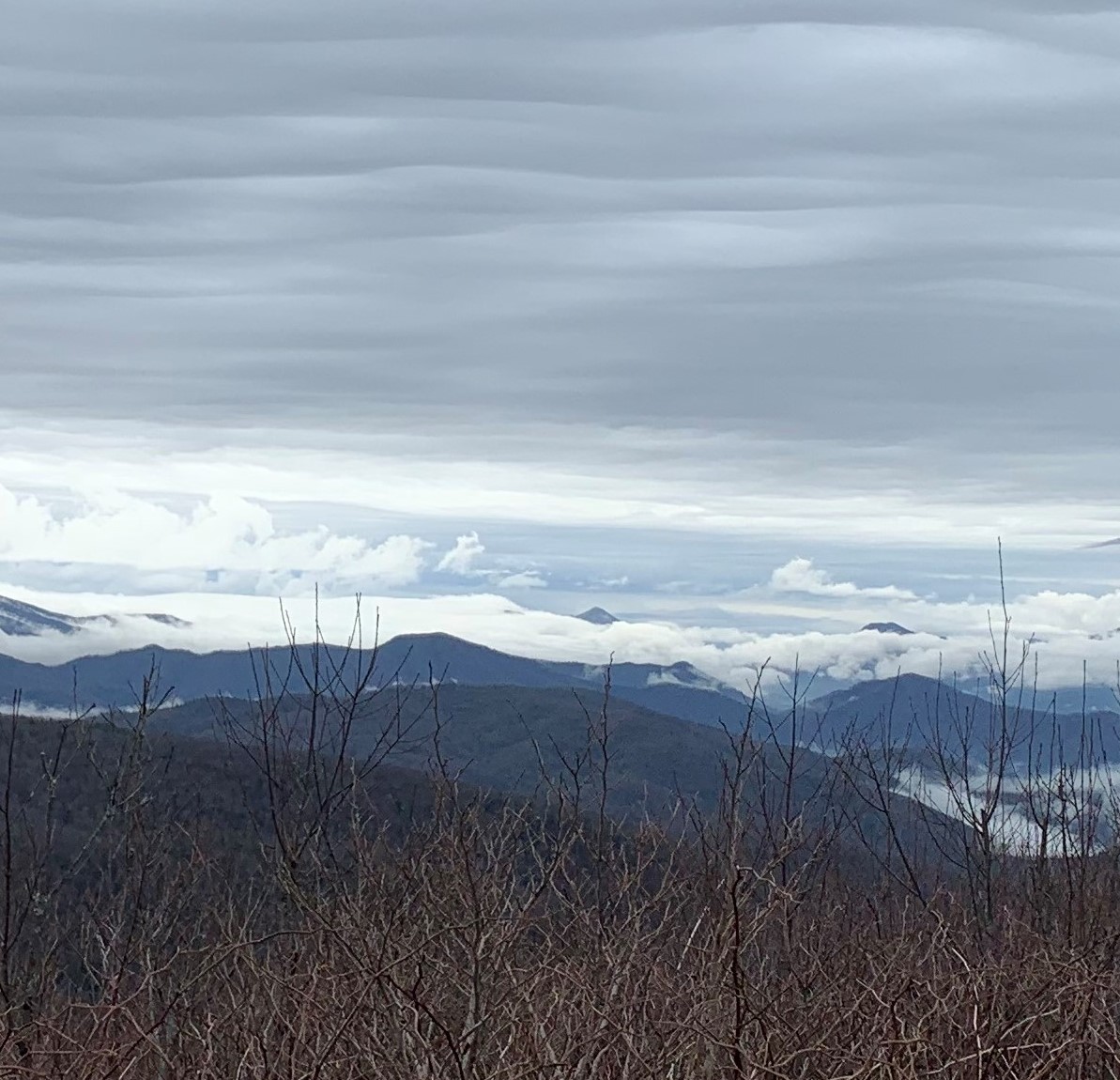
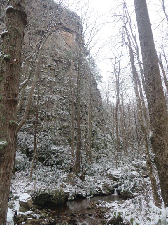
Our timing is off in planning these hikes. Another missed chance to see frozen falls as it’s surely bedecked with ice now. Alas the problem with planning one to two months ahead. I just have to put it on the calendar and hope for the best. It is not to say that it wasn’t worth it. Despite no ice, the trail scenery was beautiful with freshly fallen snow and frosted top mountains. The hike was fairly straight forward, well worn, and well marked. We made our way to the falls, enjoyed the view and a quick snack and got moving again before the cold got to us. The return home included a stop at the Greeneville Pizza Inn. No takers on this hike, just the Schaefer family including dogs Zoinks! and Beetle.
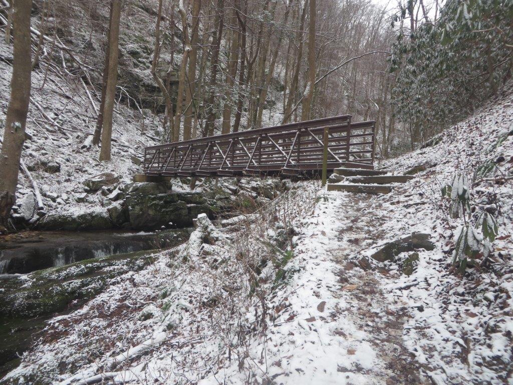
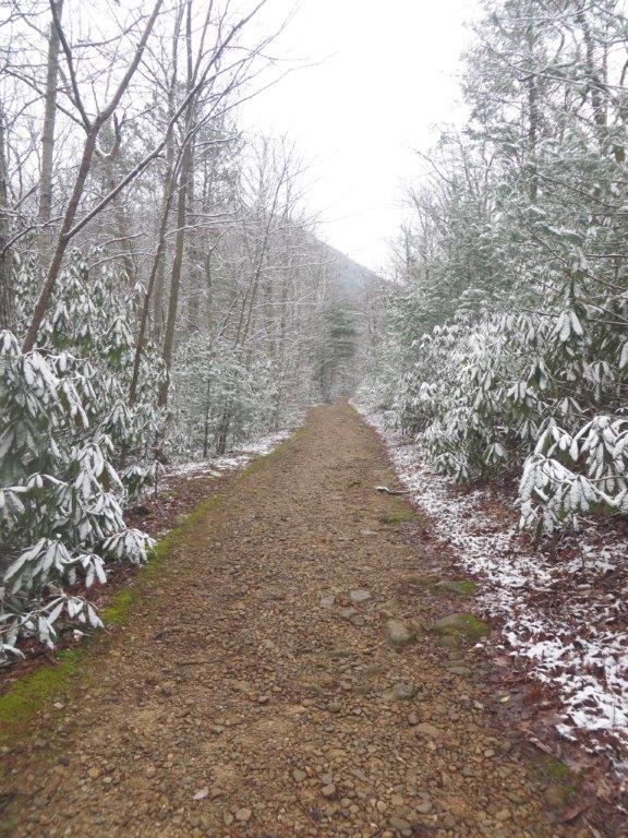
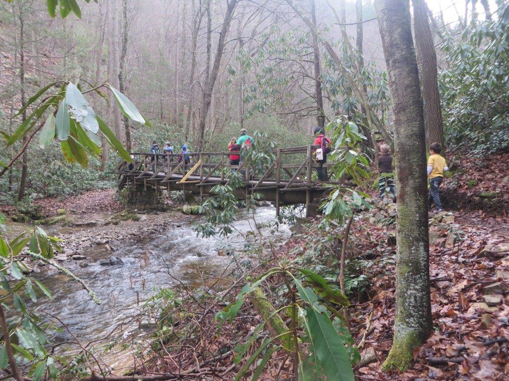
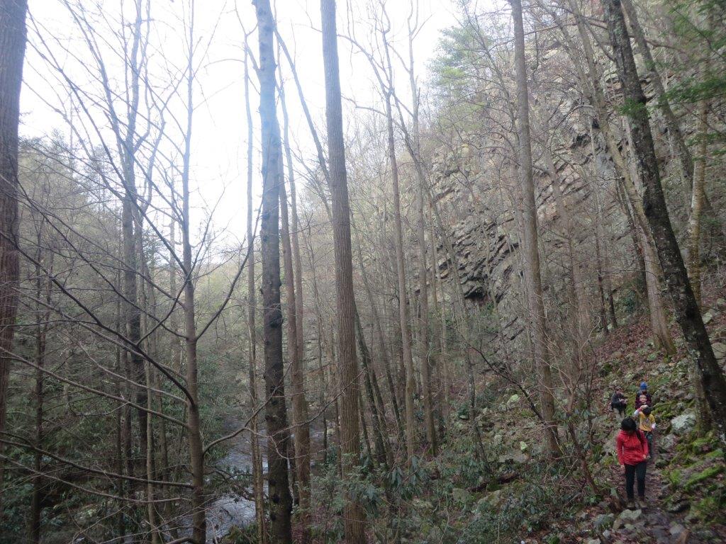
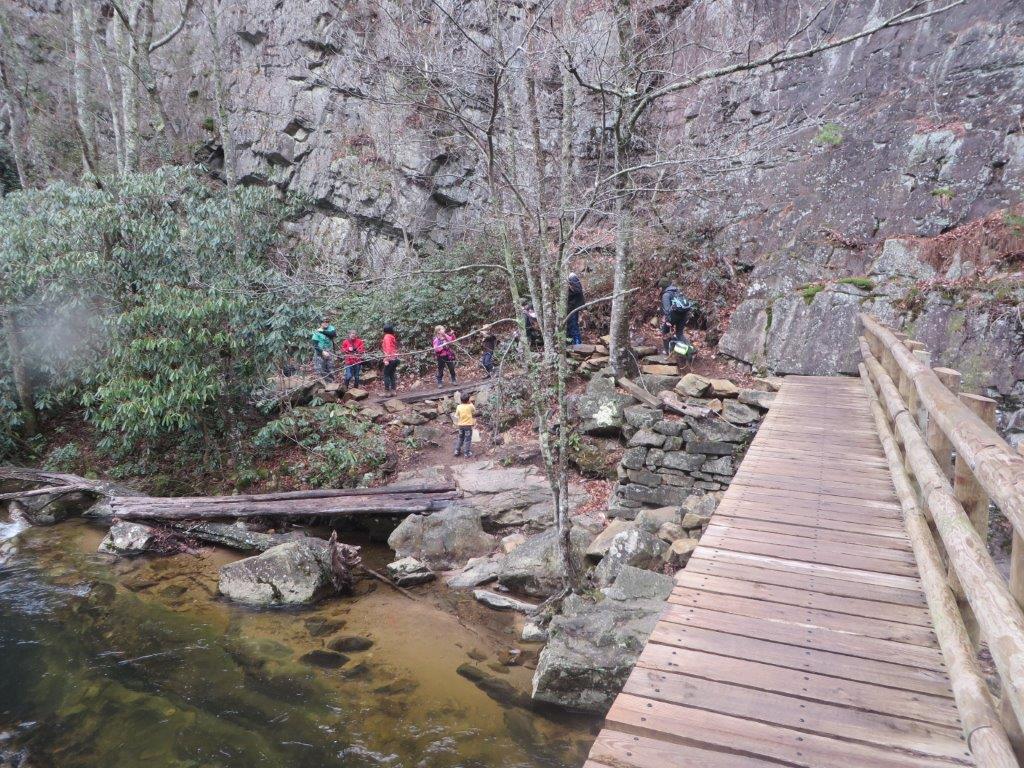
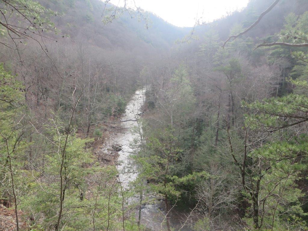
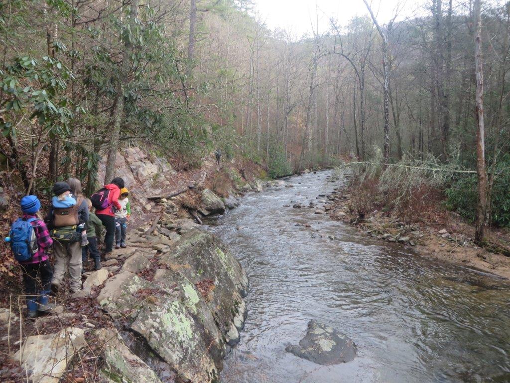
Hike Report – Laurel Fork Gorge and Falls 1/9/2016
Tim Schaefer Reporting
Frozen waterfall hikes in this area can be fickle. Although the beginning of the New Year was cold, we finished the week with some warm days. This apparently melted away whatever ice may have formed. It didn’t matter, as often, the destination is a motivator, but it’s the journey that is enjoyed best. The hike began at US321 to the AT and on to the falls. After enjoying a cool (but not frozen) stop at the falls for lunch, we decided to hike up out of the gorge to see the Koonford Bridge redone in 2014. The hike was more steps than I remembered the last time I visited here five years ago. We made it to the bridge and returned except staying on High Water Trail to see more trail (but really to avoid the descent back into the gorge). Joining us today was the Schaefer Family (Tim, Carrie, Jamie, Bob, Josie), the Zimmerman Family (Yuyan and Frankie), Jeffery and Amy Bryan, Gabrielle Ashley with dog Lucy, and Andrew.
Hike Report – Roaring Branch Trail
Tim Schaefer Reporting
Hike date: 12/19/2015
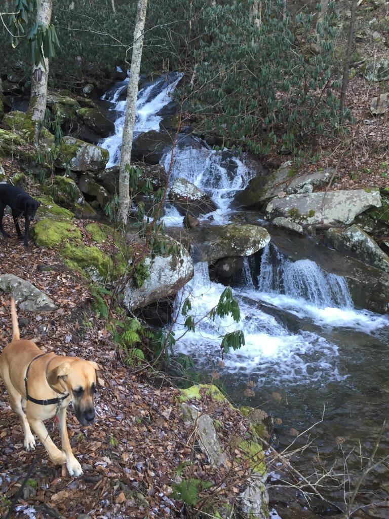
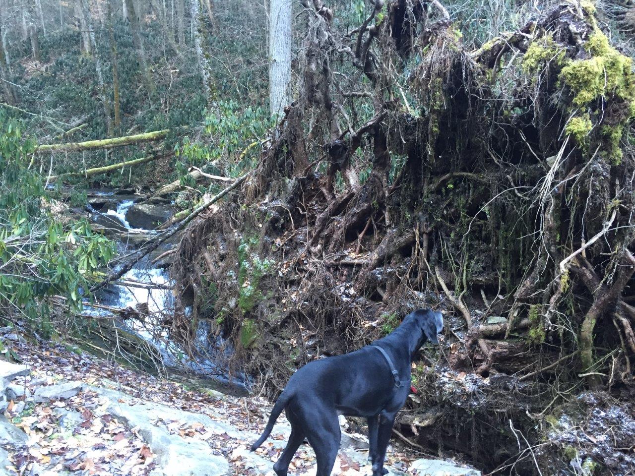
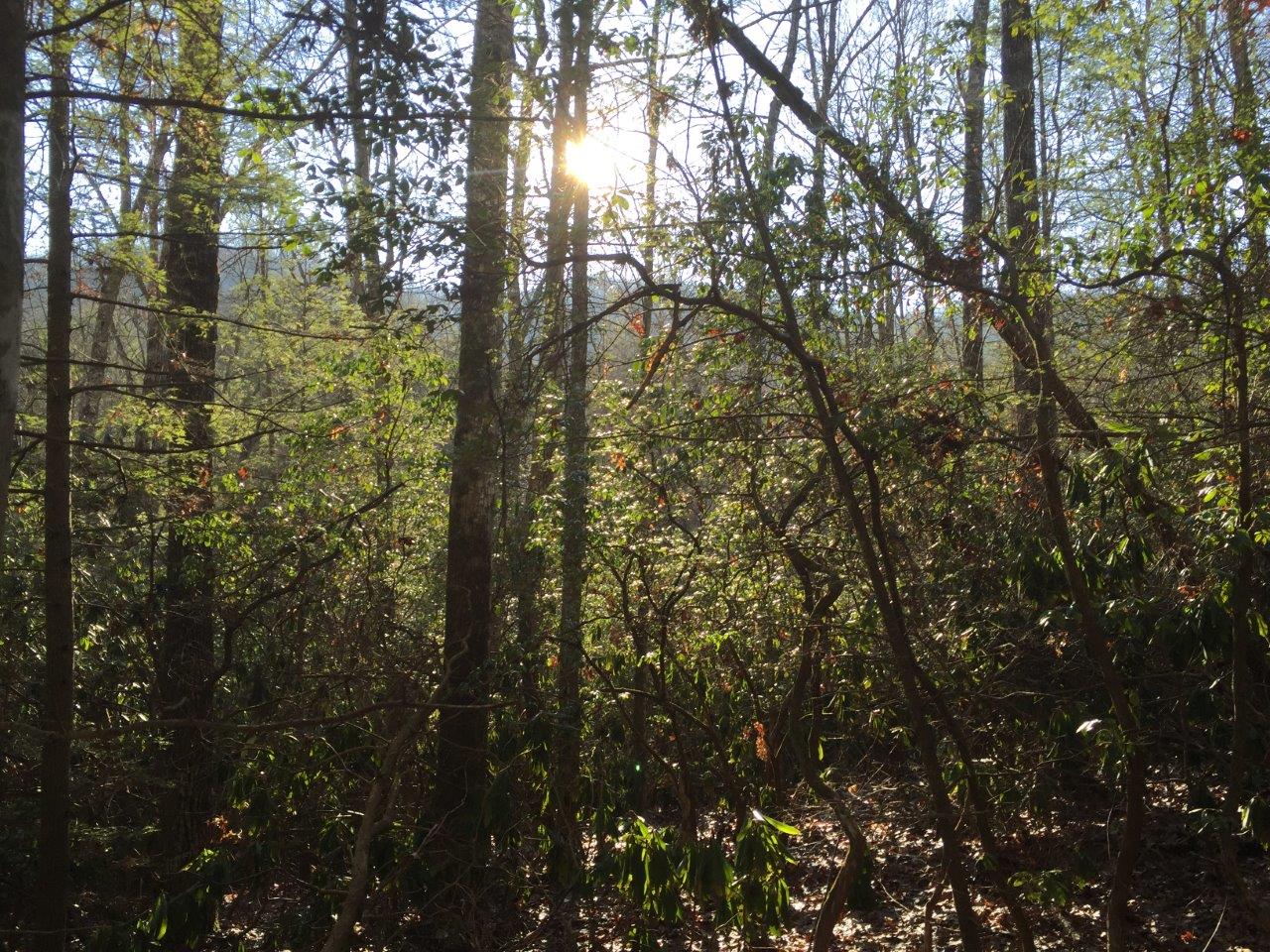
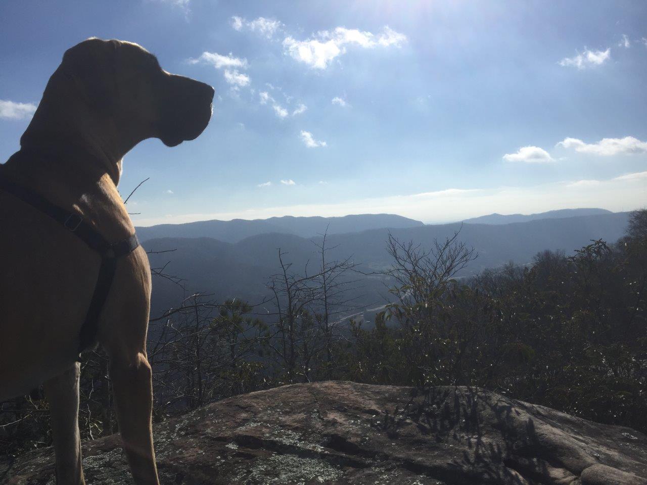
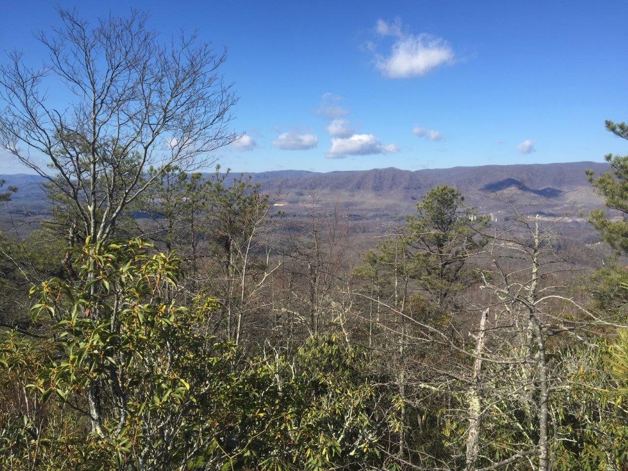
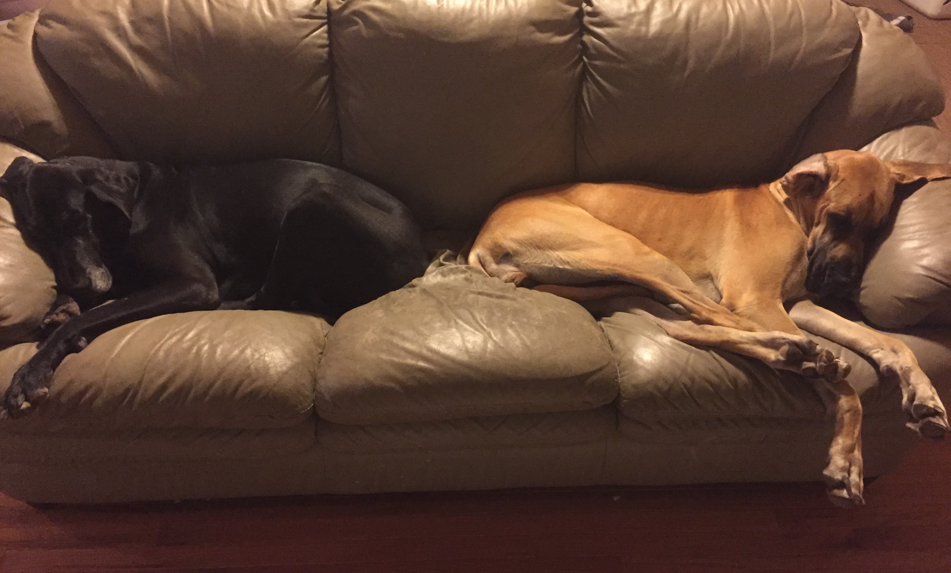
“It will be a tough hike with all of the downed trees and overgrown brush.” As said by Vic Hasler, or something close to that. He wasn’t too far off. [[Roaring Branch Trail]] is an in-and-out 8mi hike and a mostly uphill climb from the road to the overlook. Not having any takers to join me, possibly partly due to the below-freezing morning that was forecast, I decided to bring the dogs with me. They’re two Great Danes often mentioned in trip reports, Zoinks! and Beetle. The wiki was right. The parking area is not much more than a narrow gravel shoulder on a curve of Business 23/Roaring Branch Rd. It made for some nervous dog wrangling as trucks and cars zipped by us. The light snow cover and brisk morning, to me, was perfect for a weekend hike. Several sections of trail as warned by Vic have some significant downed tree sections. Some were simple hop overs, others could be walked around, several required climbing over and under patches of downed logs. I didn’t have too many problems, but my four legged companions had some more difficulty. A few times I thought we would have to turn back, but we eventually found a way through the mess. Also difficult were the stream crossings. Roaring Branch was flowing quite well. This was the dogs’ chance to show off an easy passing while I struggled to find a rock hopping path but managed to keep my feet dry. We made it to the High Butte overlook and enjoyed lunch. I noticed that the yellow blazed trail does continue past the overlook on the right. I thought about exploring it, but with a family out home and two tired dogs that normally spend the day napping on their bed I saved that for another day.
Hike Report – Purchase Ridge at Natural Tunnel
Tim Schaefer Reporting
Hike Date: 12/13/2015
The Zimmerman family joined us for this 3.26mi hike on [[NTSP Purchase Ridge Trail|Purchase Ridge Trail]] at [[Natural Tunnel State Park]]. It was a great late fall day and fun was had by all. The trails were in good shape and the views of the tunnel were fairly clear to see with the absence of foliage. As luck would have it, shortly after starting our return we hear a train whistle in the distance. The trail head is a little hard to find with no clear parking area near by but the detail on the wiki was good enough to get us to find it. Since the campground was closed we parked at the camp store, but it’s not clear where you would park in the summer months. Having fun was the Schaefer Family (Tim, Carrie, Jamie, Bob, Josie and dogs Zoinks! and Beetle) and the Zimmerman Family (Yuyan and Frankie).