Current impact of COVID-19 on TEHCC and regional activities

Aligning with guidance from our partner organizations and employer regarding the coronavirus pandemic, the following is our evolving information.  With increasing levels of vaccination (get yours!), the risk of contracting COVID-19 is diminishing in our region. Otherwise, please recognize the hazards of the outdoors which existing before the pandemic.

TEHCC Hiking Program

  • Our club newsletter announces the weekend hikes as they are planned and posted.
  • Important: The club asks that you do not come to any hike or event if you are showing any signs of illness, have had contact with anyone with COVID-19, or have any concerns with your own risk factors. We are NOT organizing carpooling, but meeting at the trailheads – while the Steering Committee considers the guidance being received.

TEHCC Dinner

  • Steering Committee has decided to hopefully celebrate our club’s 75th Anniversary with a Fall Dinner. Details will be shared later in the newsletters.
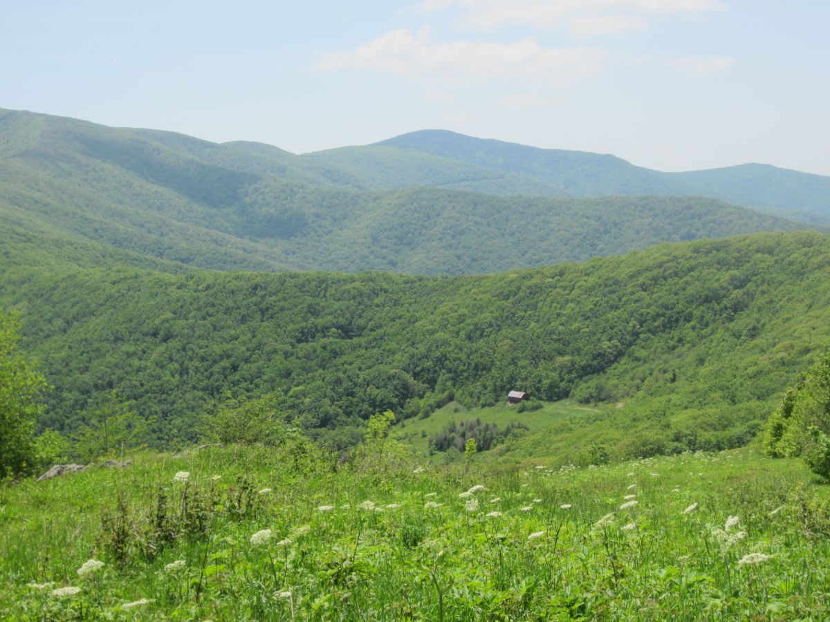
Appalachian Trail

  • 5/12: Appalachian Trail Conservancy (ATC) now states long-distance hiking on the A.T. to be an acceptable activity, especially for those who have been vaccinated.
  • 4/21: Shelters along the Appalachian National Scenic Trail in Tennessee, Georgia, North Carolina, and Virginia are now available for use. Hikers are encouraged to bring their own personal tent and face coverings. Earlier in the pandemic these shelters were shut down, along with trailheads.
  • Overmountain Shelter remains closed due to structural damage, but adjacent camping area and privy are open.
  • Roan Naturalist, Joshua Lyon, can now be encountered in the field – typically around Carvers Gap, but also between Doll Flats to Hughes Gap.
  • Pisgah (NC) and Cherokee (TN) National Forests are now allowing volunteers with restrictions to complete maintenance and repair.  TEHCC has interpreted these conditions include limiting crew size, only travel with immediate family, wash hands or use sanitizer frequently especially before eating, and maintaining 6′ social distancing in the field.  
  • Regular Thursday maintenance crew is operating but with just 8-10 crew members arranged by the A.T. Projects Coordinators (Kramer and Morris).
  • Hiking with Tools! has restarted on second Saturdays. See the club newsletter for details.
  • Overall, the A.T. section managed by TEHCC is clear and open. The 2020 calendar year saw our regular maintenance hours only down 6% as basic tasks were performed by a core group of 131 volunteers. Many, many thanks for keeping the simple footpath open.
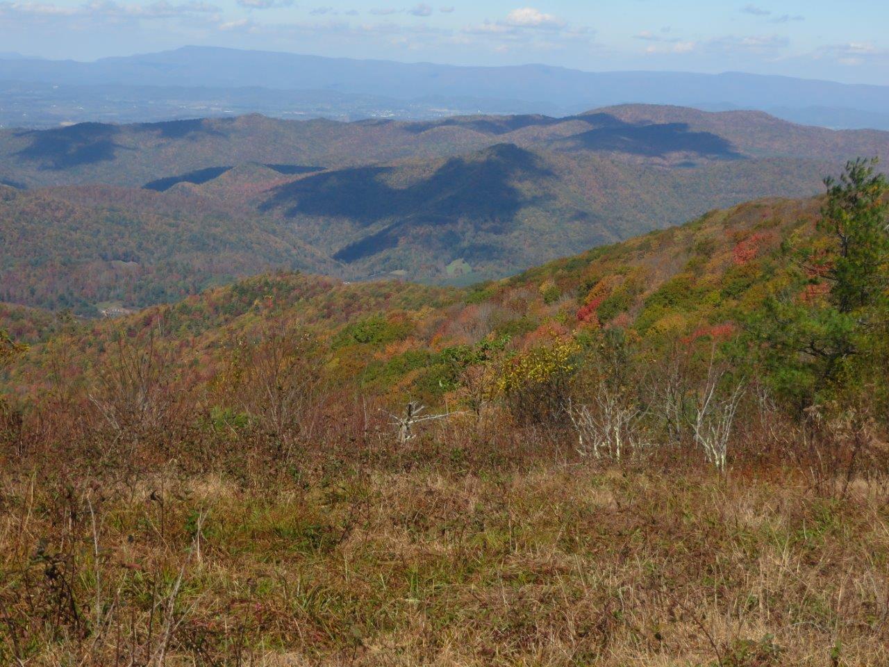
Other Trails

  • Present understanding is that day hikers are allowed on area trails but keeping group size to a minimum with less carpooling. 
    • Bays Mountain Park (Kingsport) is open along with Nature Center and programming.   A Third Saturday trail maintenance group (“The Gorillas”) has formed if you are interested in volunteering.
    • Trails in Cherokee National Forest are open for use.
    • East Tennessee Trails Association is now maintaining many CNF trails in the region.
    • Trails in TN state parks are open for use.
    • Virginia State Parks opened for day-use activities, including trails for hiking, biking and equestrian use. Campgrounds, restrooms, and picnic shelters are open. Face coverings are required in all park facilities. Bring cash for entrance fees which are being collected.

Rental Equipment

  • Eastman Recreation says club rental backpacking and camping equipment may be checked out from Building 310. Their open hours are 7:30am to 4pm weekdays. Good use has been reported, thus recommend making reservations at (423) 229-3771.

Area Events

  • Sunday Afternoons: Johnson City Roll Practice at Freedom Hall Pool is back! New time is 1-3PM Sundays for $2. Must exit building with all gear by 3PM.
  • River launch sites are open in the region. 

7/23 Hike from Hughes Gap to the Barn Shelter

HCCSNA_Overmountain_Barn_From_ATThis is the continuation of the “Hike the TEHCC A.T.” series. We made it to Hughes Gap last month. Now it’s time to hike the balds! If you’ve wanted to hike large sections of the A.T. but avoid the in-and-out, here’s your chance. We’ll need roughly half to help participate in shuttling. This leg will be from Hughes Gap to the Barn Shelter. We’ll take the Overmountain Victory Trail for trail access. Contact tim@tehcc.org for details. Past and future hikes are being detailed at [[Hike Plans:2016 TEHCC AT]]

F/B: Warriors’ Path State Park, Sinking Waters, Friday, November 27, 2015

Leader: Carrie Schaefer , 423-408-2846
Rating: Family/Beginner

Come burn off some turkey and stuffing and hike to see the 8th wonder of Colonial Heights – a stream sinking into a hole. Since REI has been in the news we have also rebranded this as our “Opt Outside” hike. This hike will be Family/Beginner friendly as it will have small children along for the hike. Meet at the pool parking lot at 1:30 PM to caravan over to the Sinking Waters trail head or if you know where it is, meet us there. Reservations not required but appreciated so we know to look for you. Contact Carrie Schaefer (carrie@tehcc.org).

Trail wiki feature of the month

View South-East from the first bald clearing of Rogers Ridge

Rogers Ridge Horse Trail is an in-and-out 6.87 mile long ridge line trail. It’s a long hill climb trail for a day hike but near the end, the 360° views of the surrounding ridge lines all make it worth it. A side benefit of this hike is being able to reach the Tri-State Corner Knob junction of TN-NC-VA. The trail begins in the Horse Ridge Scenic Area of the Cherokee National Forest past Damascus near Laurel Bloomery, TN. Horses are allowed, but on a recent October 2015 trip, there was little evidence of them. Although clearly marked at the trail head that ATV/ORV vehicles were not allowed, signs of their recent presence was along the entire trail. The hike begins with an immediate creek crossing that has neither a bridge or decent rocks to hop across, but this will be the last time you see water. Although guide books mention some camp sites along the way with water access, we didn’t see them. The trail wastes no time in getting to your 3,201 feet of climbing as it’s nearly a consistent slope up to the summit. The trail itself is very well marked with Yellow rectangle blazes, but several unmarked and well worn trails connect along the way. It may be possible that one of them connects to the Gentry Creek Falls trail that would make for a nice loop trail. The trail itself is wide with a clear “two-track” appearance with the occasional water logged rut to walk around. While not noticed on the ascent, the descent can be challenging for the ankles as there are several sections of loose rocks fist sized and smaller.

View from the upper part of Rogers Ridge Bald

After hiking for 5.33 miles with glimpses through the trees of mountains and neighboring ridge lines, you finally enter a clearing to enjoy the views. The trail may “officially” end here as the previously well blazed path now lacks markings, but you can continue on to enjoy the views. From here you can take a side trip to the south to get an early view of the surrounding ridge lines and valley including Grandfather Mountain. Continuing on the trail to the north, you reach another bald clearing that could suit well for camping, especially large groups. The only reservation I myself have about camping here is the apparent frequent use of ORV’s here. From this higher elevation, there are views of Whitetop Mountain and Mt Rogers Mountain to the northeast. Throughout these tree bald clearings, blackberry bushes appear to be growing rampant. If you can tolerate the thorns, the blackberry picking in the summer must be unlimited! In a bald clearing to the east towards the state line is the trail high point in the final bald clearing. Although various sources differ on the exact measurement, we measured by GPS at 4,900 feet. The ridge top home seen to the south appears to have been severely vandalized. Although unfortunate for the owner, one can only hope that one day this majestic ridge line and profile can be returned to its original natural glory. After the high point, the trail begins to consistently descend for the first time, and ends at a trail/road. Turn left to continue the descent to find the Tri-State Corner Knob, the (at least at one time) terminus of this trail.

View of Whitetop Mountain and Mt Rogers from Rogers Ridge

When visited in October of 2015 the hike was an enjoyable day of near complete solitude. The only encounter was a couple in a truck near the trail terminus. Unexpectedly we found the tree colors to be apparently in their early stages to the south and west, and finding only bare trees to the north and east. Regardless, the day of fresh air, views, and exercise was more than enough to make this a great trail to visit that you should consider as well.

Survey Disc marking the TN-VA-NC Tri-State Knob

Hike: Warriors Path – Boneyard Nov 6th

Meet at the Warriors Path Mountain Bike Trail Head to hike this 3 mile trail. View trail wiki for trail head and information, [[Boneyard]]. This hike will include children and will move at a suitable pace for them. Contact hike leader Carrie Schaefer to let her know to look for you, carrie@tehcc.org

ATC Family Hiking Day – Saturday, Sept 26, 2015

AT – Indian Grave Gap to Beauty Spot

Leader: Mike Watts, 423-963-1593
Rating: Moderate per TEHCC, Moderate-to-strenuous per ATC for 4.6 m round trip, 1000’ elevation gain

This Saturday event is planned to participate in the ATC’s Family Hiking Day.  Beauty Spot is a natural grassy bald (4,437’) with excellent views of the Roan and Black Mountains. The overlook was recently improved by the Cherokee National Forest Hotshots (June newsletter) who removed some of the trees which had grown up over the years. Let’s leave Colonial Heights, TN at 9am to meet at Indian Grave Gap around 10am. Bring plenty of water, comfortable footwear, appropriate clothing/sun protection, and lunch. The hike itself will take roughly three and half hours depending on how much lunch/sightseeing time is desired on the bald. For further information, check the trail wiki or call the hike leader.

F/B: Bays Mountain Park – Lake Road/Chinquapin Trail, Sunday, August 23, 2015

For Second Class rank, a Boy Scout is to use a map and compass to take a five mile hike. Bays Mtn Park offers a good location as the topo map can also be oriented with the lake and surrounding ridges. The needed distance is readily covered by following Lake Road with a side diversion on the Chinquapin Trail.  This hike is good for those who want to learn how to use a directional compass and interpret topological maps – and is open to club members or scouts from any troop. Departure time from Colonial Heights is 1:30PM from a different location of the Presbyterian Church or just meet at the park dam by 2PM.  Entrance fee for Bays Mtn Park is $4 per car, although the Scout Expo coupon is still good until the end of August. Bring plenty of water, comfortable footwear, appropriate clothing/sun protection, and your own compass, if desired. The hike will take around three hours depending on how much instruction time along the way. We’ll also be on the lookout for signs of different animals and observing native plants, which are other rank requirements. For further information, please call/e-mail the hike leader.

Contact: Vic Hasler (423-239-0388)

For the Record – Spring Wildflower Hike, May 9, 2015

Joe DeLoach reporting

For this year’s installment of our annual spring wildflower hike, we chose the Appalachian Trail from Highway 19E to Doll Flats.  Our record of 40 species was found years ago between 19E and the edge of Hump Mountain, and we might have matched that if we’d gone further this year, finding 31 varieties without going beyond Doll Flats.  Showy orchis and fringed phacelia highlighted the lower elevations, moving into erect trilliums and wood anemones in the middle, with early spring trout lilies hanging on at Doll Flats.  The flower of the day was jack in the pulpit; we saw some great specimens and a lot of them in the upper half of the hike.  We also saw evidence of much hard work by dedicated TEHCC volunteers who had cut and peeled locust logs, some quite large, and stakes for Trail rehabilitation with HardCore the following weekend.  Doll Flats makes a great place for a siesta on a warm sunny day.  Joe lost his bet with Kim that we would find more species of flowers than we would see Appalachian Trail thru-hikers, and it wasn’t close.  Next year we’ll shoot for earlier in the spring and the different varieties it brings. Hikers for this outing were Serita Blankenbecler, Phyllis Cairnes, Denise Hardin, Kim Peters, and Joe DeLoach.

Overmountain Victory National Historic Trail – Saturday, May 23

Leader: Vic Hasler (423-238-0388)

Rating: ~8 mile round trip hike with 1600 ft elevation climb and return

The Overmountain Men marched in 1780 to join the Revolutionary War at the Battle of King’s Mountain. This portion of the route in the Hampton Creek Cove State Natural Area was improved during 2007 to provide a better trail. We’ll start with open meadows (closing any gates used since livestock is grazed in the area) and then along the Left Prong of Hampton Creek. Spring wildflowers are expected. Forest is entered and the hike continues up Yellow Mountain to reach the Appalachian Trail. We’ll head another 0.2 miles to Overmountain shelter for lunch. Return by mostly same route except jumping over onto Birchfield trail on the other side of the creek. Let’s meet in Colonial Heights at 8AM. The 1.5 drive route can be arranged to pick up folks in Johnson City. Bring plenty of water and lunch. No dogs on this hike since a nature preserve. Return to Kingsport between 5-6PM.