Dan Firth – Appalachian Trail Conservancy’s Volunteer of the Month

Congratulations to Dan on being the Appalachian Trail Conservancy’s Volunteer of the Month for August 2017.

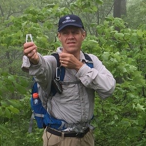
Dan Firth has volunteered 500 hours on the Appalachian Trail with the Tennessee Eastman Hiking and Canoeing Club. He has served on its A.T. committee, monitored rare plants, and recently became an A.T. section maintainer. He monitors seven phenology sites along his Trail section, which involves tracking and reporting seasonal changes in the life cycle of the species being monitored. Since retiring from the Eastman Chemical Company last year, he has eagerly taken on more responsibilities.
Matt Drury, ATC’s Southern regional resource management coordinator, says, “Dan is our most prolific rare-plant monitor in the region, and often seeks new populations to monitor. He is also helping us monitor for ash trees and the emerald ash borer and will be surveying most of the likely ash sites on the Trail in Tennessee this year. This information will help managers prioritize areas for treatment against the emerald ash borer.”
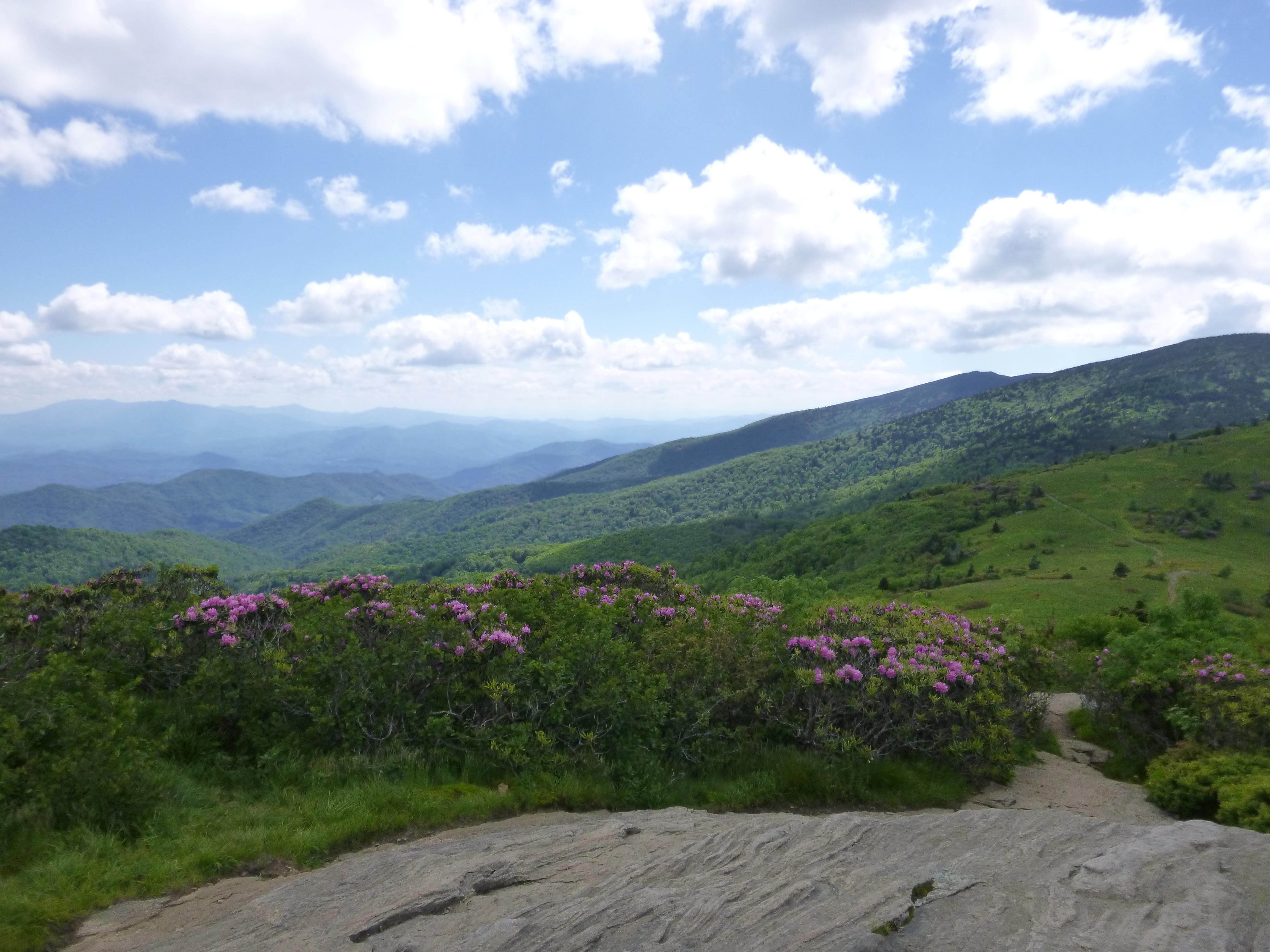
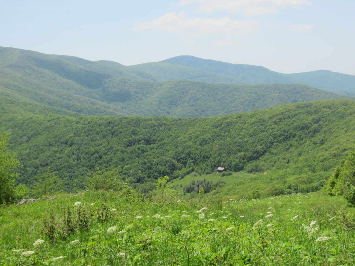
This year, Dan and Matt are conducting a campsite survey of Roan Mountain, covering more than 20 miles along the Trail. The Roan Highlands area has the highest concentration of rare species found along the entire A.T. They are surveying areas impacted by camping, classifying the ground cover into condition classes, and looking at canopy cover, exposed soil, and other conditions. The next step will be to analyze the data and develop a report for Trail managers.
Dan lives in Kingsport, Tennessee, with his wife and their son and daughter. A section hiker, he has completed the Trail from the Springer Mountain approach trail to Front Royal, Virginia. He was involved in Boy Scouts as a youth and with his son, and he continues to be involved with the Sequoyah Council. Besides the opportunities for outdoor experiences and education, Dan says that the Scouting emphasis on service and volunteering often has an impact that carries into adulthood.
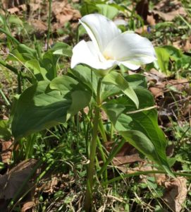
Dan most enjoys monitoring the rare plant populations and appreciates the ability to make a difference as a volunteer: “Having a scientific basis for decision-making through observation and analyzing impacts on rare plants and on the biodiversity of an area is key to protecting them.” The data he is gathering will provide important information to Trail managers on protecting rare plants.

Spring has sprung…

Wildflowers are popping out around the region. The picture was taken along the Fall Creek Trail in Warriors Path State Park in mid-April. The club would love to see photos of what you see in the region.

Warriors Path SP - Fall Creek area
White Trillium

Iron Mountain Gap to TN 19E Water Report: Nov 11-13, 2016

We have a water conditions report from an area hiker. This was in early November. Hopefully this will improve with the rain in the forecast this week.

Iron Mountain Gap to TN 19E Water Report. I hiked with a good group of people over this section on November 11-13, 2016.
Here is a report on water based on listings in the AWOL guide (going north):

  • Campsite 1.3 North of Iron Mountain Gap: Did not check due to being .1 off the trail
  • Greasy Creek Gap: Did not check due to being .2 off the trail
  • Clyde Smith Shelter: Had lunch here and took the time to walk down to check out the water source. No water available. Ground was not even damp.
  • Water .4 North of Hughes Gap: Damp ground by no water
  • Ash Gap: Very low flow of water. We had to build a dam and clear a path for the water. One of the crew used a piece of PVC to try and get the top water, but it was still sludge. Between engineering, low flow, filtering through a bandana, and then through a Sawyer, it took us almost two hours to get six clean liters of water. If it had not been at dusk and we were not tired, we would have moved on. I would not count on the water here.
  • Roan High Knob Shelter: Slow steady flow with good pool to dip from.
  • Footbridges/Streams south of Carvers Gap: Low flow. Would need to dig or find a hole to dip from.
    Springs .2 North of Grassy Ridge Bald: Good flow running right across the trail. One was piped and the other could easily be dipped from.
  • Stan Murray Shelter: Did not check due to earlier reports of being dry and frequently dry.
  • Overmountain Shelter: Good flow
  • Doll Flats: Very low flow. Took almost five minutes to get 1.5 liters. There was good flow coming from a spring running across the trail about .5 south of Doll Flats.
  • Doll Flats to 19E: The next water we saw was the stream that was alongside 19E and that ran about .5 south of 19E.

Laurel Fork Shelter – Still closed to use

UPDATE: Laurel Fork Shelter continues to be temporarily closed because of the July 8th high wind storm.  While the Southern Appalachian Wilderness Stewards (SAWS) removed the hazard tree in front of the shelter, there are two oak trees and a large locust tree still laying on roof.  The major concern is a , which will require an expert sawyer from USFS to remove.

Closure signs have been posted at the shelter trail junctions. Please do not plan to visit or even stay in its vicinity until the storm damage has been safely cleared.

August 19, 2016 photo:

laurel-fork-shelter-20160819a


July 17, 2016 photo:Laurel Fork Shelter - July 2016 Storm Damage

7/23 Hike from Hughes Gap to the Barn Shelter

HCCSNA_Overmountain_Barn_From_ATThis is the continuation of the “Hike the TEHCC A.T.” series. We made it to Hughes Gap last month. Now it’s time to hike the balds! If you’ve wanted to hike large sections of the A.T. but avoid the in-and-out, here’s your chance. We’ll need roughly half to help participate in shuttling. This leg will be from Hughes Gap to the Barn Shelter. We’ll take the Overmountain Victory Trail for trail access. Contact tim@tehcc.org for details. Past and future hikes are being detailed at [[Hike Plans:2016 TEHCC AT]]

Section hike the TEHCC AT Section This Year

Tim Schaefer is interested in section hiking the TEHCC section of the AT this year (Spivey Gap to the Virginia border). He’s looking for car pooling and hike partner(s). This way he won’t have to do it twice going out and back. It also fits in well with the National Park Service’s program this year to hike 100 miles of trail and earn a pin or decal (see February newsletter). Since time, and more specifically hiking days are limited, he’s looking at possibly doing this in as few as seven outings. If this sounds too aggressive, contact him anyway as he may be encouraged to tone it down to be able to accomplish this. There are also others interested in achieving this same goal in not such an aggressive manner as well and we can get you in contact with them. If interested email Tim at tim@tehcc.org for some discussion, to do some planning, and start to get some events on the calendar.

NPS Hike 100 Challenges

Submitted by Vic Hasler

The National Park Service turns 100 on August 25, 2016. In celebration of its Centennial, several of the national parks are hosting 100-mile challenges. For the Appalachian Trail, everyone who hikes 100 miles or more — with at least one hike on the A.T. — during 2016 is eligible to receive a limited-edition Hike100 decal. Register by sending your name and email address to AT_Hike100@nps.gov to receive a simple official hiking log. Enter dates, where, and miles to reach the 100-mile goal, and then send it back when you’re done. Other national parks in the region announcing similar challenges include GSMNP and New River Gorge.