Sunday June 24th, 2012
Ian Powell reporting
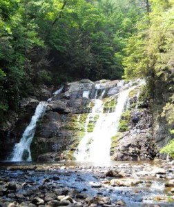
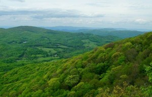
 Vic Hasler and I quickly carpooled from Colonial Heights to the Hampton trail entrance. The day was a hot one in the 90s. This route to the falls is an easy 2.4 miles. Once there, we saw Bob Peoples and family. Vic went up the rock stairs to the “High Water” trail to check on some geocaches while I hiked back the original route until we met at their intersection. Overall, we saw several snakes and lizards, plus plenty of roadside fireworks stands on the way home. The wiki for this trail (link) was updated with photos and map trace.


