The closure notice for this shelter is no longer in effect per the Cherokee National Forest.
May 30th post:
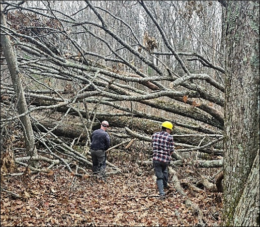
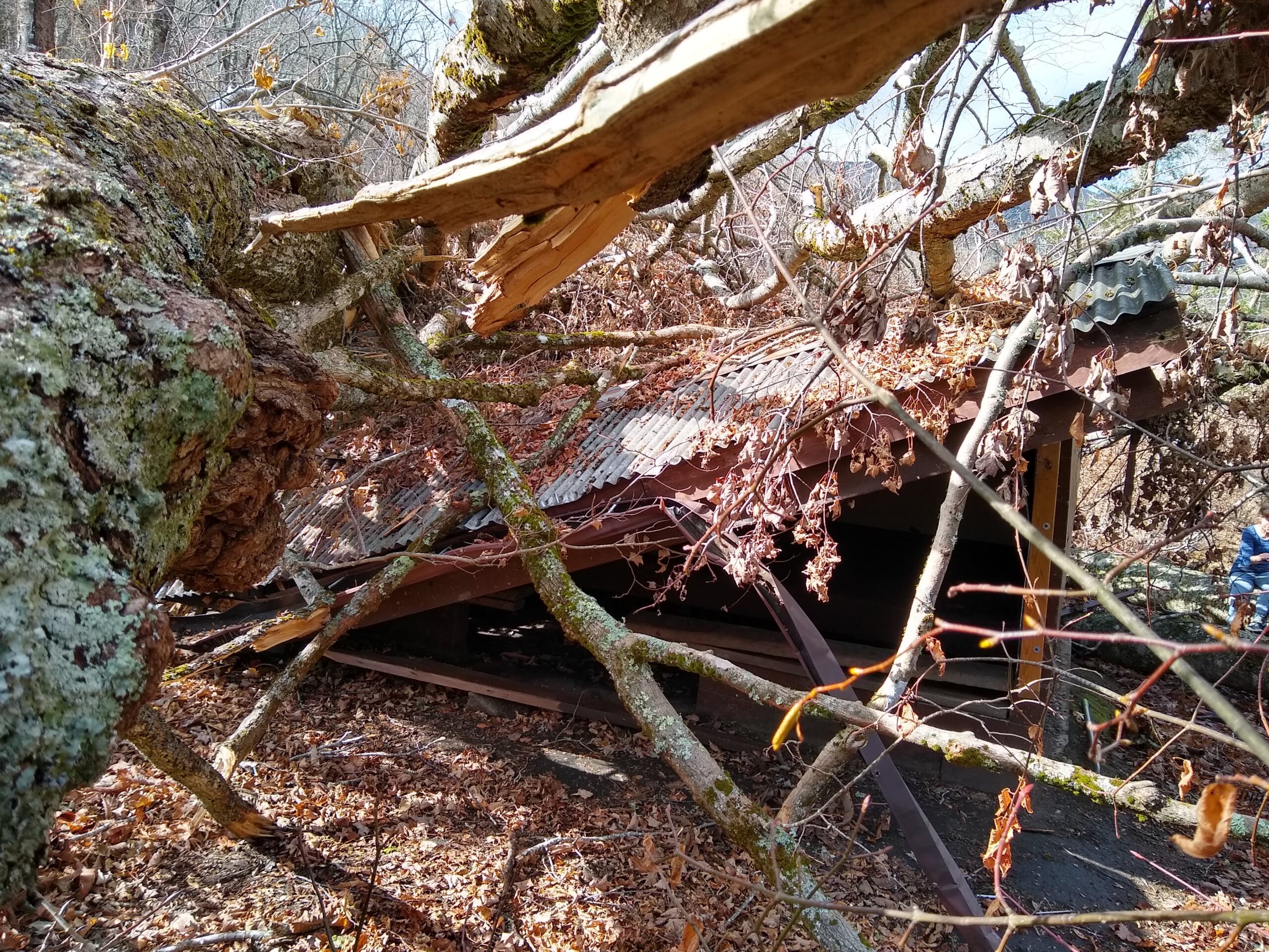
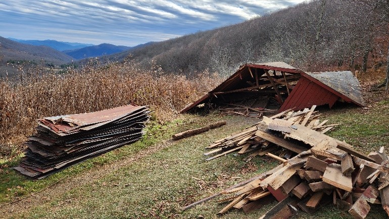
Due to ongoing reports of food conditioned bears in the area, the Cherokee National Forest has temporarily closed Clyde Smith Shelter (NOBO mile 370.8). Pass by on the main A.T., do not stop here for lunch or breaks. Recommend using campsites at least a mile away (Little Rock Knob (372.0 mile NOBO, but no water available) or along row of maple trees (369.6 mile NOBO).
Prior post:
Encounter reports have been received for mid to late May regarding one to three bears destroying gear in search of food in the region around Clyde Smith Shelter (NOBO mile 371) and north of US421/Low Gap (NOBO mile 456). While bears live along the entire Appalachian Trail in Tennessee, the section between Double Springs Shelter (NOBO mile 452) and Abingdon Gap Shelter (NOBO mile 461) is routinely a trouble spot. Warnings and the food storage order has been posted at both locations, but they were not closed to camping (although that decision can be revisited if further encounters).
Defeated were bear hangs (remember at least 12′ high and 6′ from trunk and any branches) and Ursack bag not being hung. Bear canister use is most effective way to prevent bears from getting into your food and smellables. Proper campsite cleanliness is also important.
Report all bear encounters via ATC’s Bear Encounter Report form.