File list
Jump to navigation
Jump to search
This special page shows all uploaded files.
| Date | Name | Thumbnail | Size | User | Description | Versions |
|---|---|---|---|---|---|---|
| 10:55, 25 November 2021 | 1.jpg (file) |  |
149 KB | Vhasler | 1 | |
| 10:57, 25 November 2021 | 2.jpg (file) |  |
106 KB | Vhasler | 1 | |
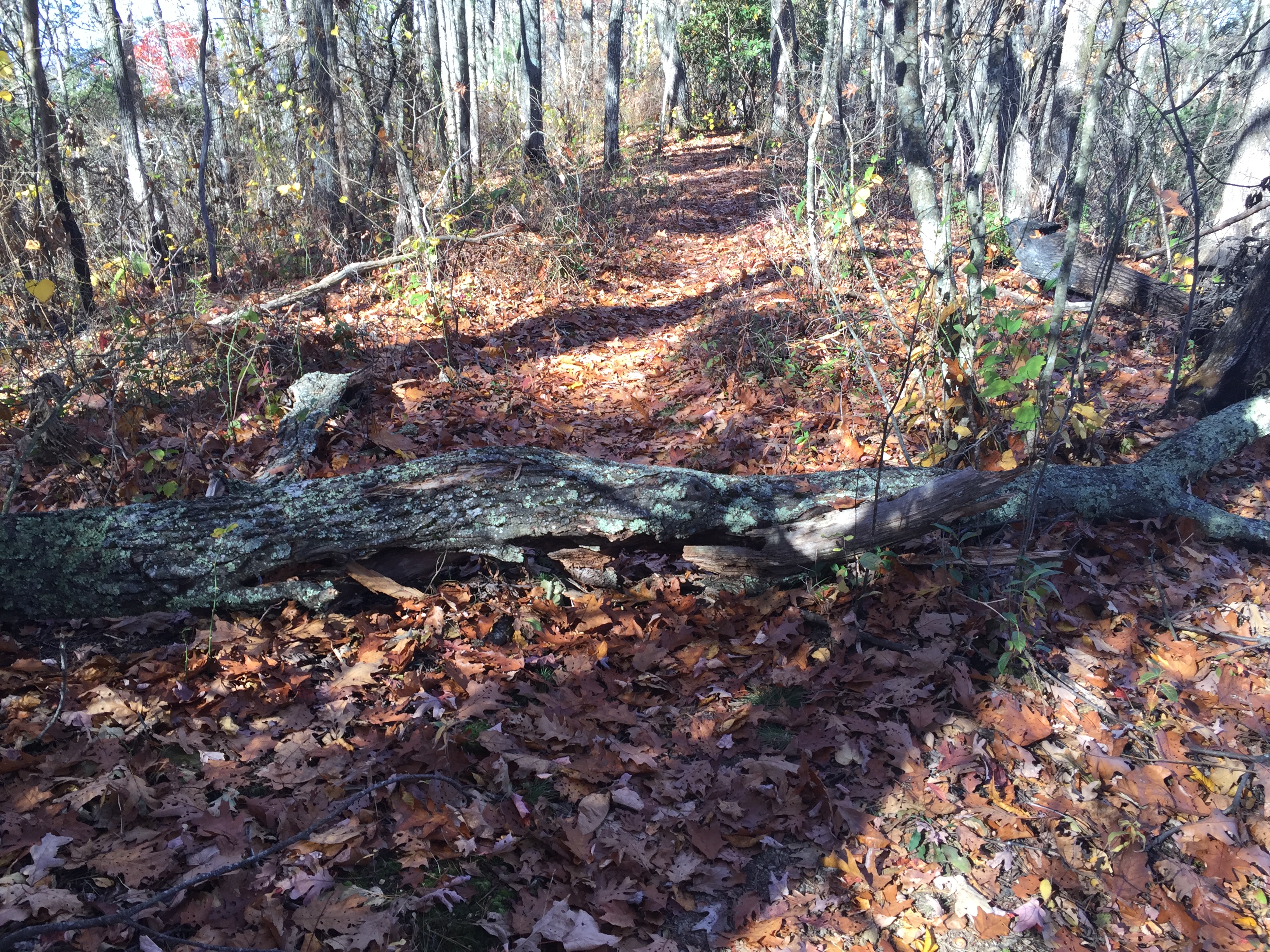
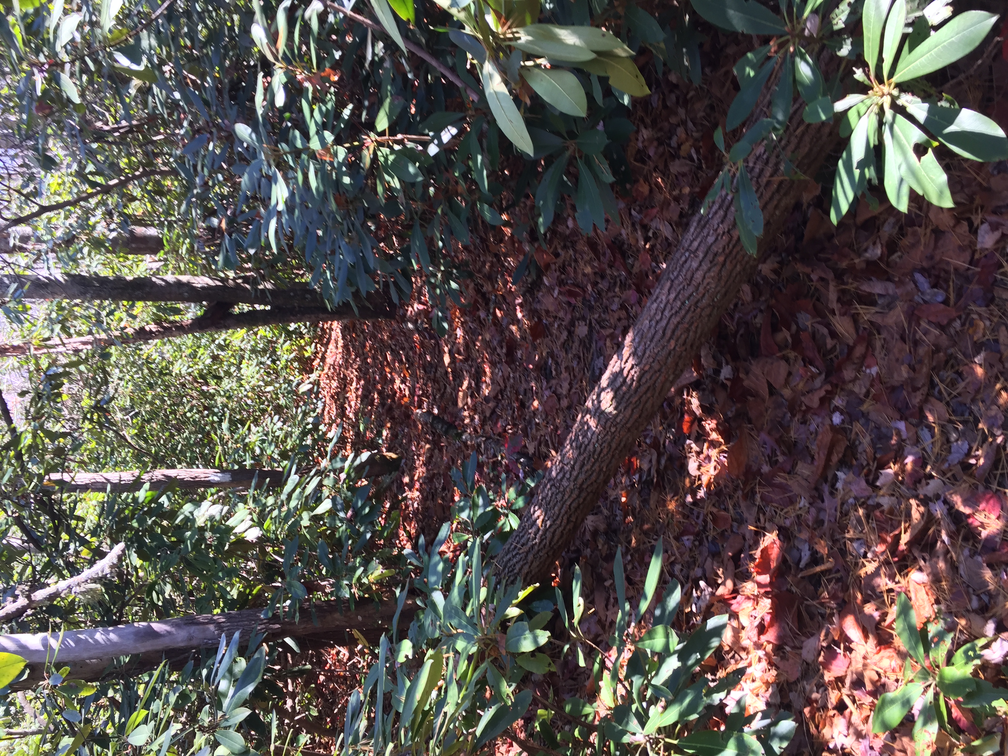
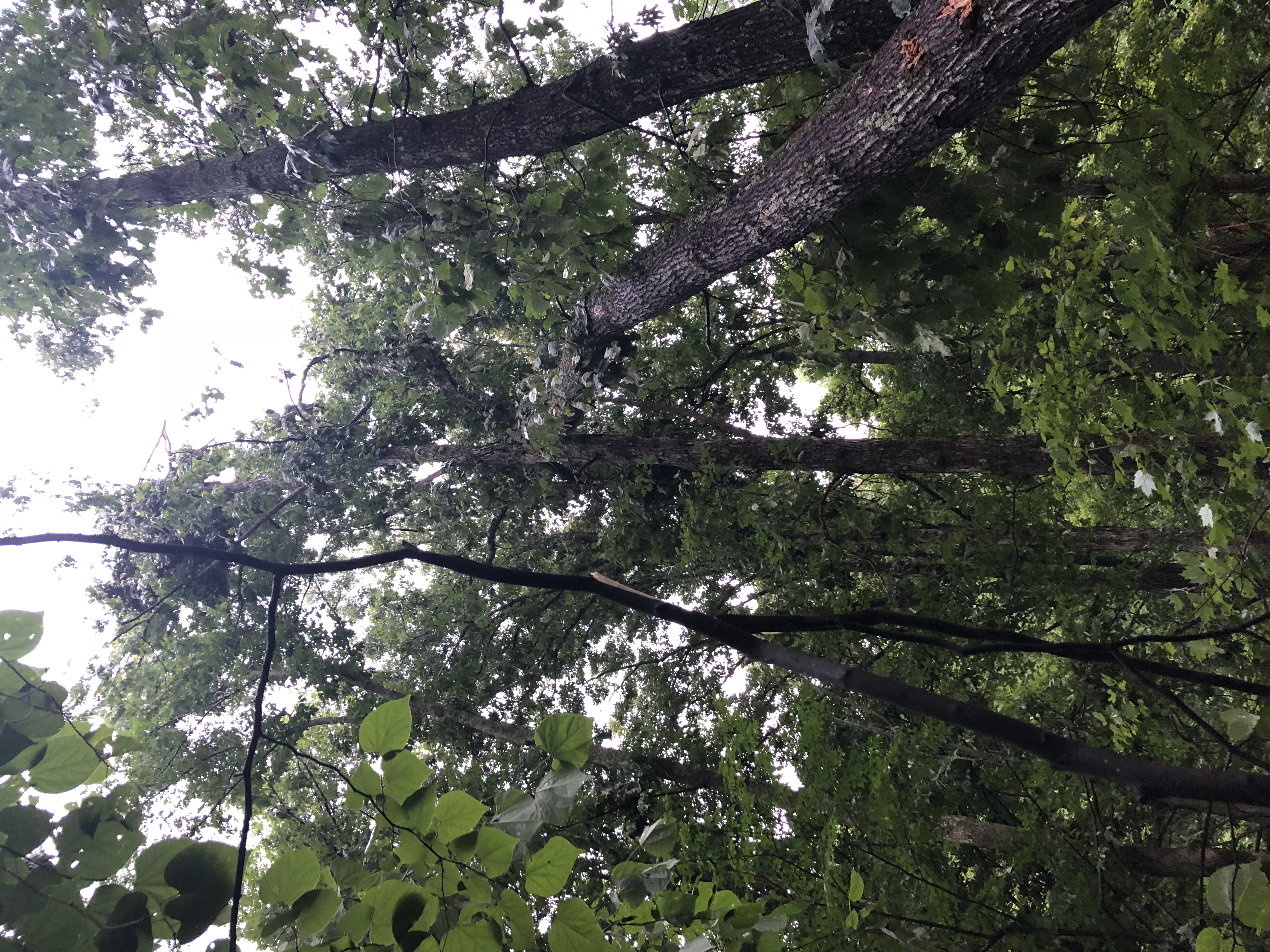
| 22:16, 8 November 2016 | 2016-11-05 Blowdown 72.JPG (file) |  |
3.38 MB | Tim | Blowdown seen on [US19E to Dennis Cove Rd]] trail on 11/5/2016 | 1 |
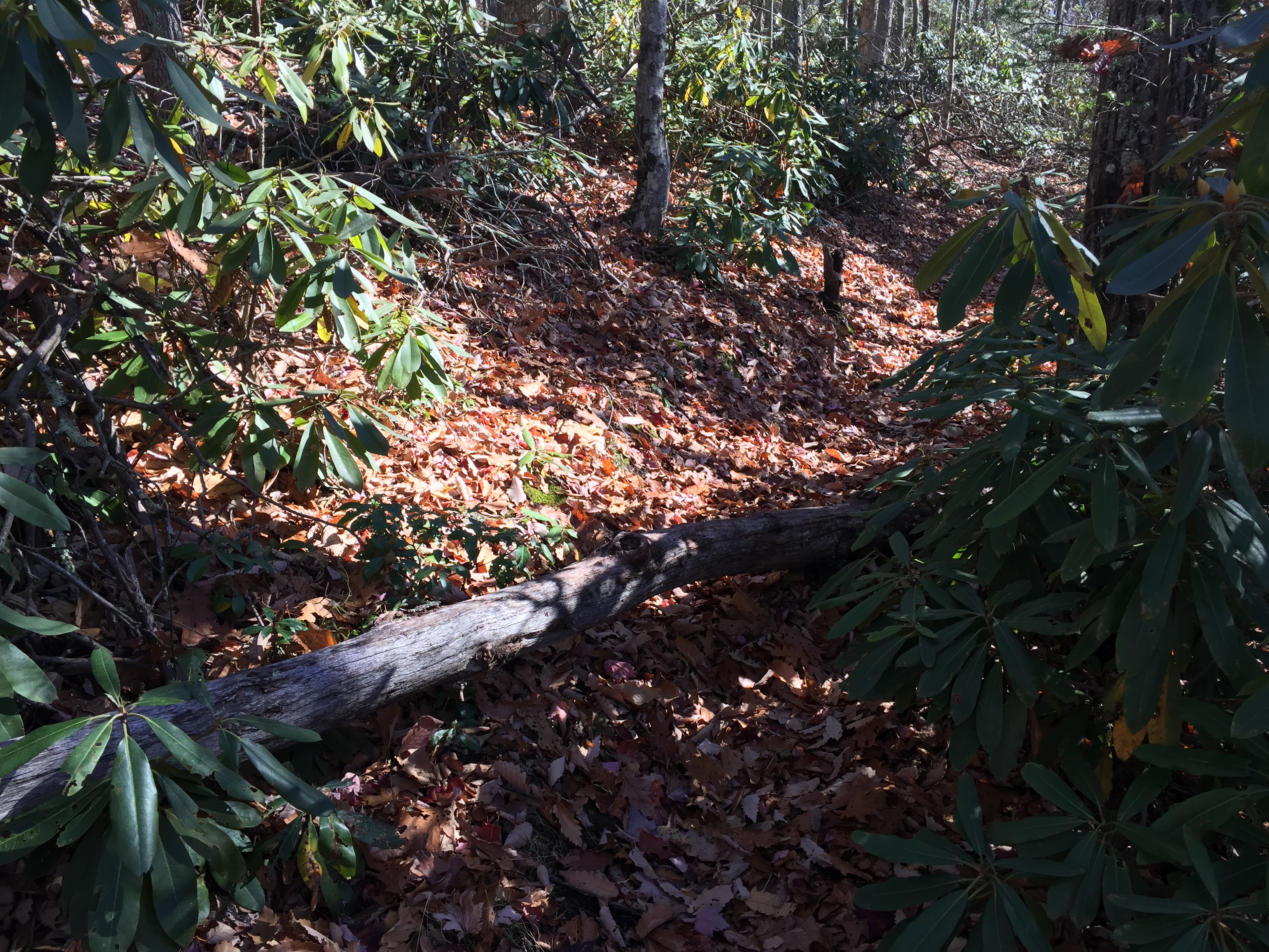
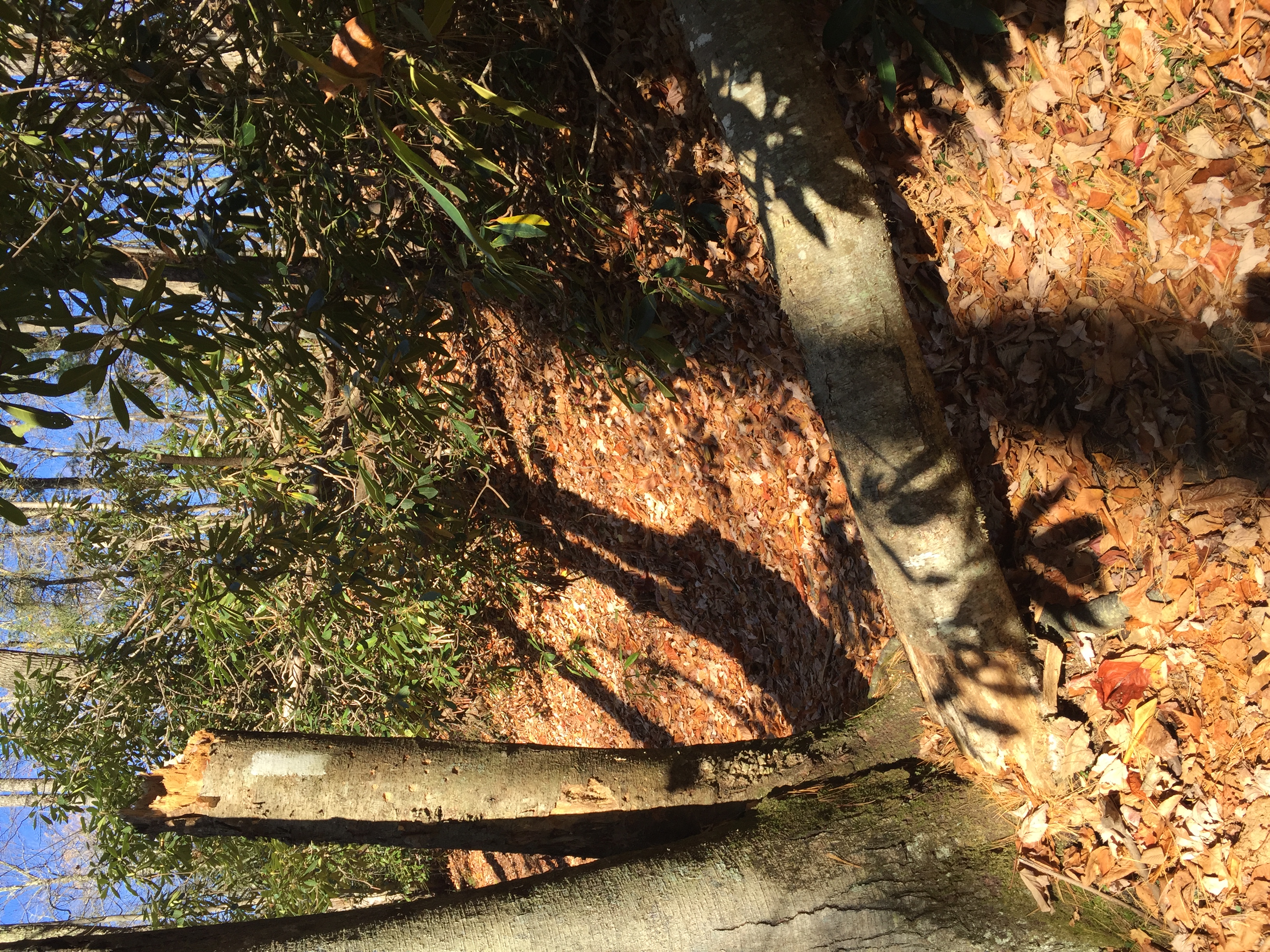
| 22:18, 8 November 2016 | 2016-11-05 Blowdown 73.JPG (file) |  |
4.84 MB | Tim | Blowdown seen on [US19E to Dennis Cove Rd]] trail on 11/5/2016 | 1 |
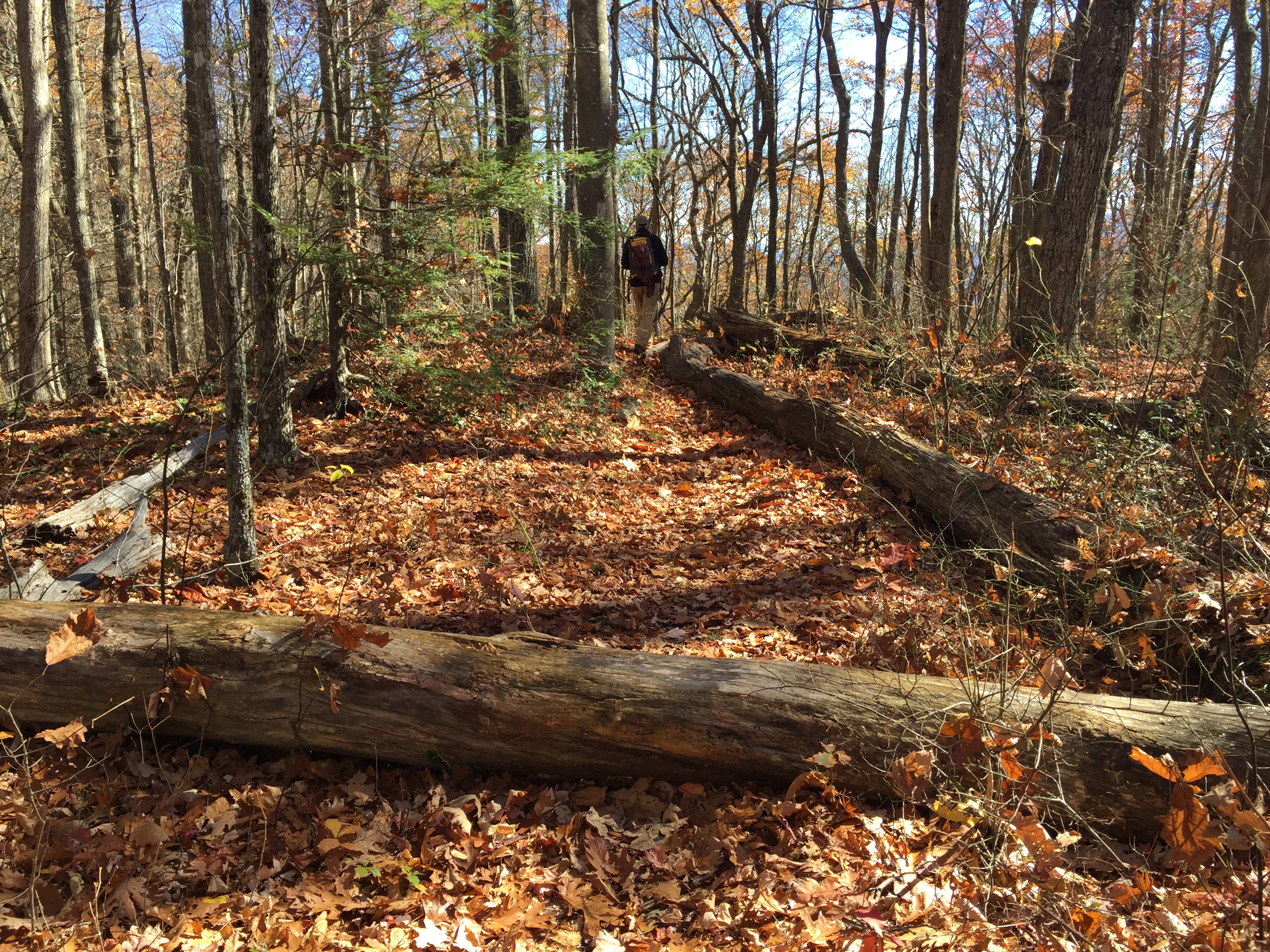
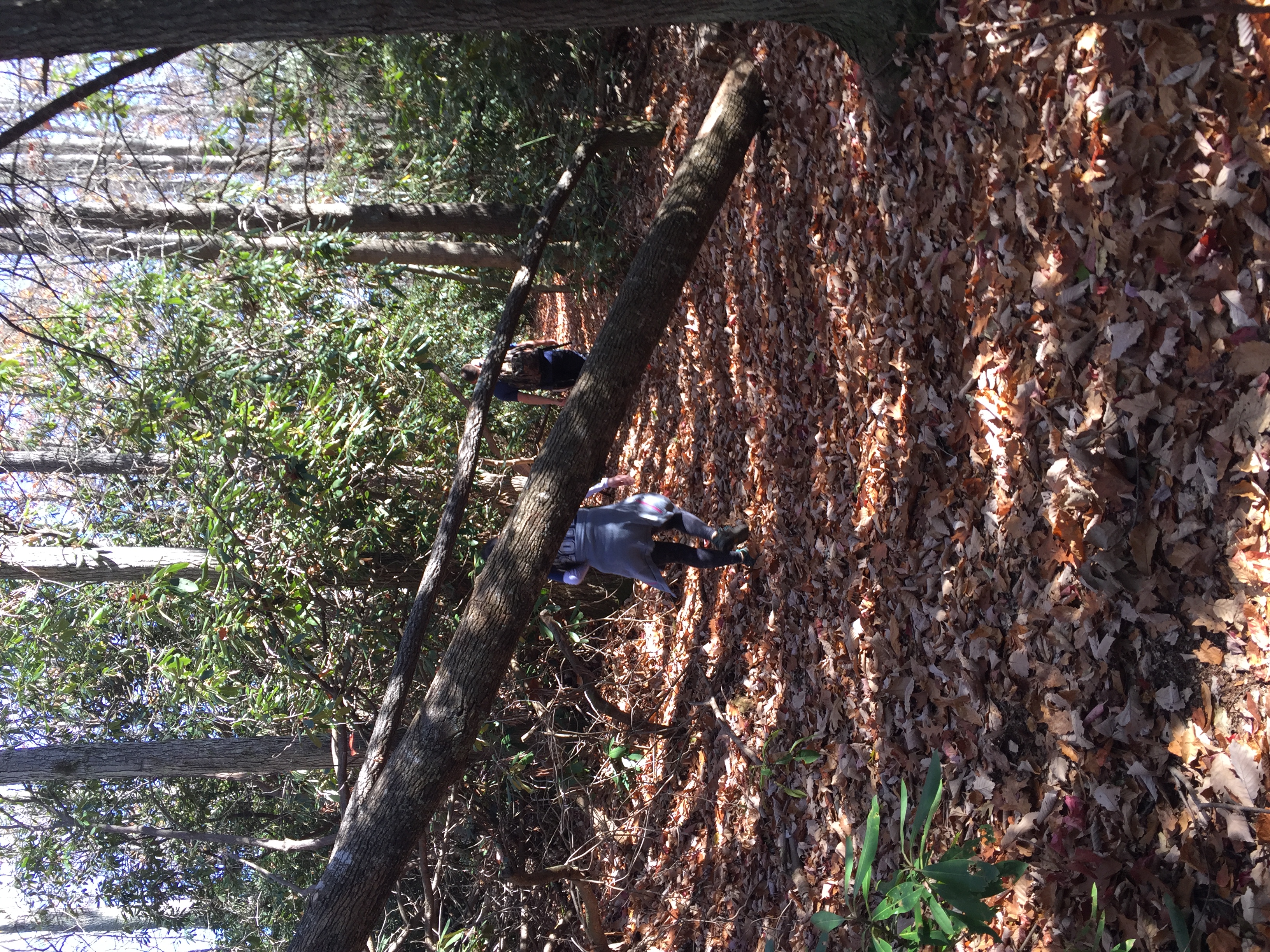
| 22:19, 8 November 2016 | 2016-11-05 Blowdown 74.JPG (file) |  |
4.25 MB | Tim | Blowdown seen on US19E to Dennis Cove Rd trail on 11/5/2016 | 1 |
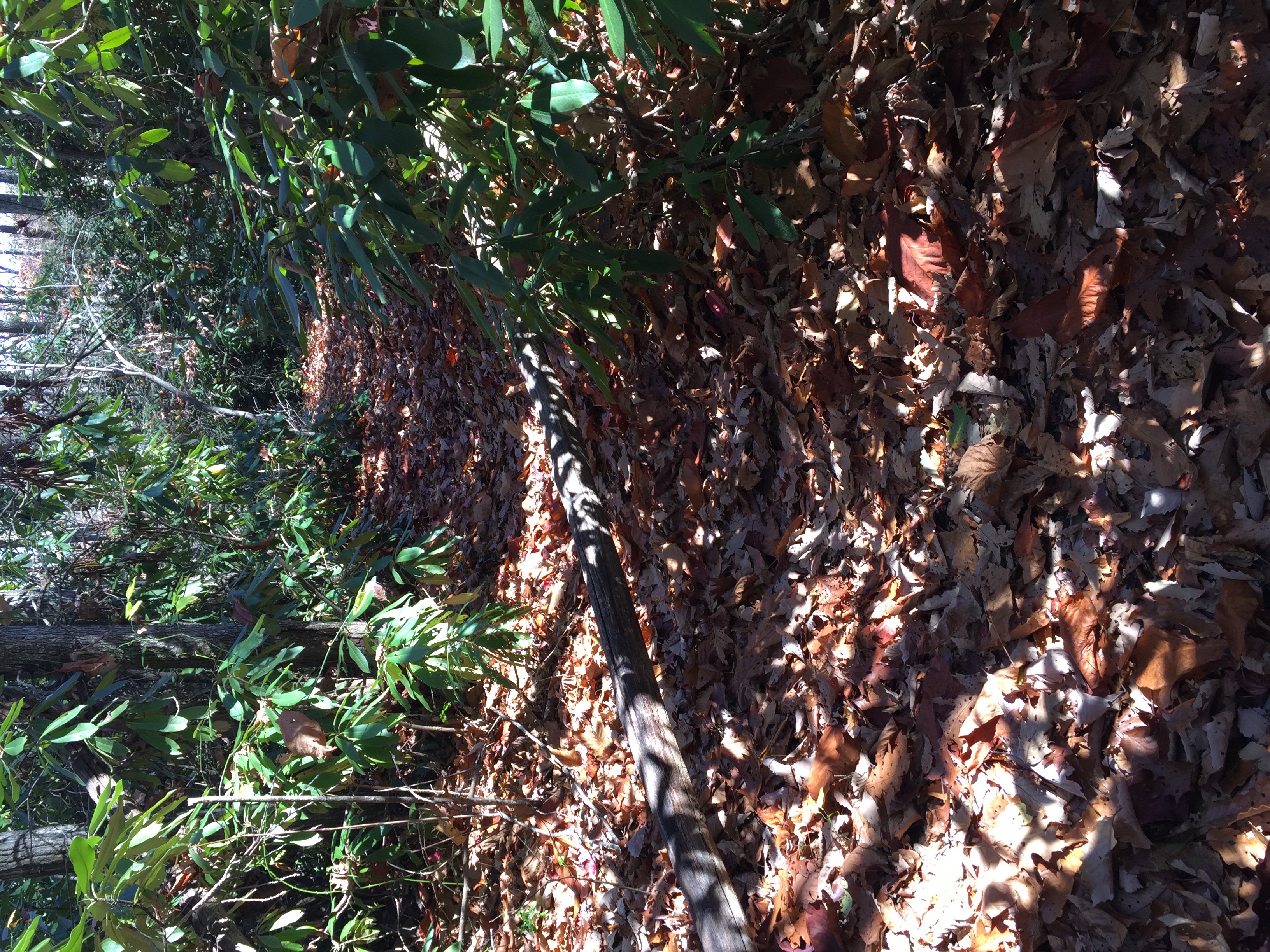
| 22:21, 8 November 2016 | 2016-11-05 Blowdown 75.JPG (file) |  |
3.5 MB | Tim | Blowdown seen on US19E to Dennis Cove Rd trail on 11/5/2016 | 1 |
| 22:24, 8 November 2016 | 2016-11-05 Blowdown 76.JPG (file) |  |
4.72 MB | Tim | Blowdown seen on US19E to Dennis Cove Rd trail on 11/5/2016 | 1 |
| 22:26, 8 November 2016 | 2016-11-05 Blowdown 77.JPG (file) |  |
3.66 MB | Tim | Blowdown seen on US19E to Dennis Cove Rd trail on 11/5/2016 | 1 |
| 22:28, 8 November 2016 | 2016-11-05 Blowdown 79.JPG (file) |  |
3.39 MB | Tim | Blowdown seen on US19E to Dennis Cove Rd trail on 11/5/2016 | 1 |
| 22:30, 8 November 2016 | 2016-11-05 Blowdown 81.JPG (file) |  |
4.22 MB | Tim | Blowdown seen on US19E to Dennis Cove Rd trail on 11/5/2016 | 1 |
| 22:33, 8 November 2016 | 2016-11-05 Blowdown 82.JPG (file) |  |
4.1 MB | Tim | Blowdown seen on US19E to Dennis Cove Rd trail on 11/5/2016 | 1 |
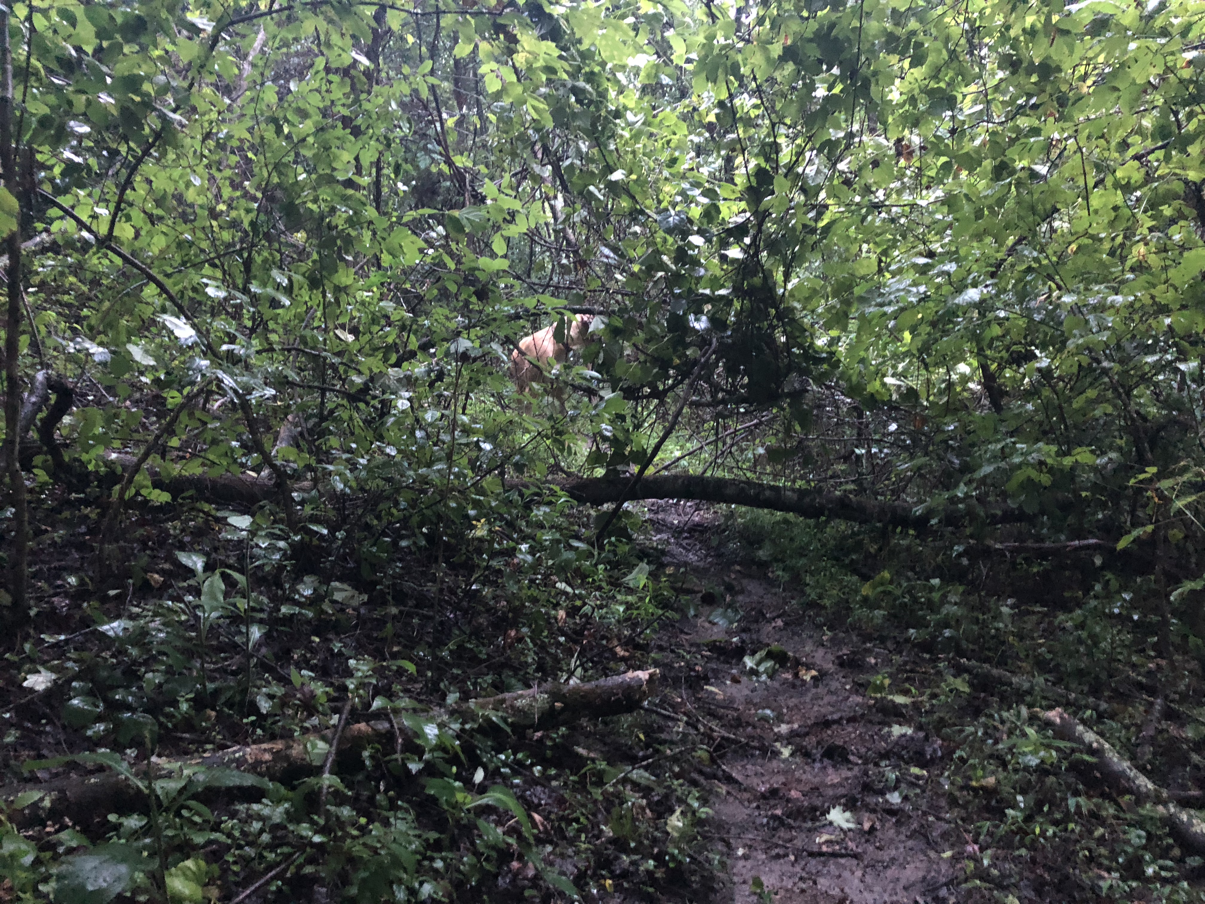
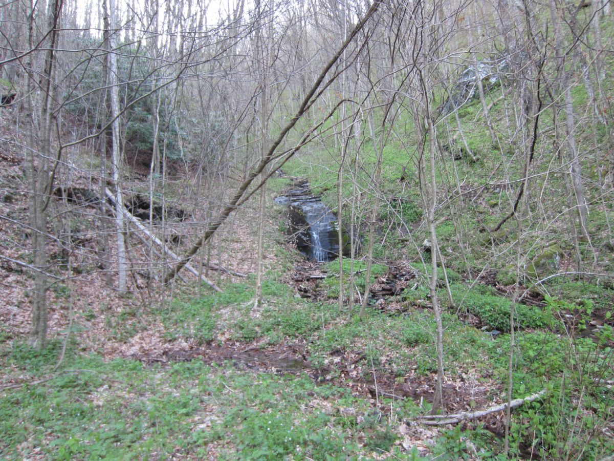
| 13:12, 22 July 2018 | 2018-07-22 Blowdown near Creek.jpeg (file) |  |
5.05 MB | Tim | Massive blowdown descending to creek on Meadow Loop | 1 |
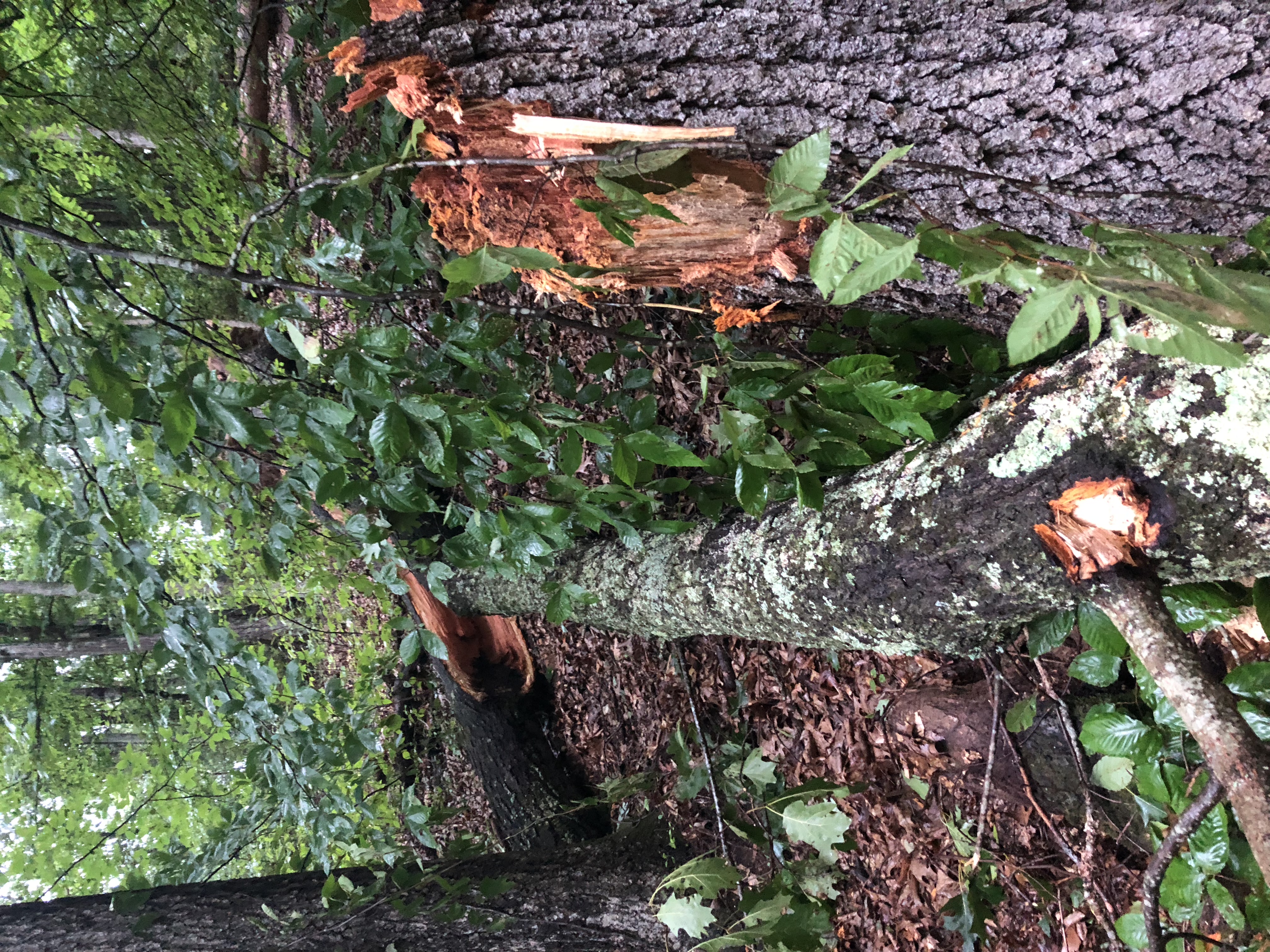
| 13:14, 22 July 2018 | 2018-07-22 Blowdown near Creek 2.jpeg (file) |  |
5.07 MB | Tim | Showing partial blowdown suspended by other tree | 1 |
| 13:13, 22 July 2018 | 2018-07-22 Blowdown near Sycamore.jpeg (file) |  |
4.66 MB | Tim | Blowdown near Sycamore tree on lower meadow loop | 1 |
| 12:55, 4 January 2020 | 2020-01-04 Forerunner Darwin Hike.kml (file) | 19 KB | Tim | 1 | ||
| 12:56, 4 January 2020 | 2020-01-04 Gaia Darwin Hike.kml (file) | 10 KB | Tim | 1 | ||
| 20:28, 29 January 2022 | 5374A196-26BA-4090-BFB4-CDD5C881E25E.jpeg (file) |  |
3.74 MB | Whatsup123& | 2 | |
| 13:24, 19 May 2020 | 82532482 3020937654596526 8659480441918586880 n.jpg (file) |  |
128 KB | Tim | 1 | |
| 20:21, 29 January 2022 | 9E8060EB-B7D5-4E45-8B17-4AE445F0509C.jpeg (file) |  |
278 KB | Whatsup123& | 1 | |
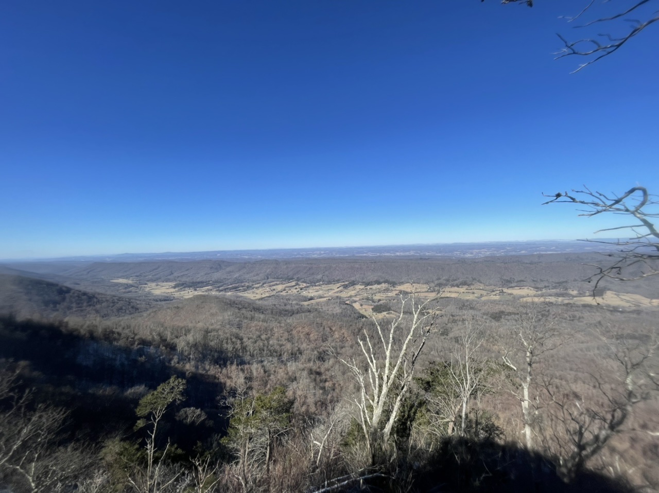
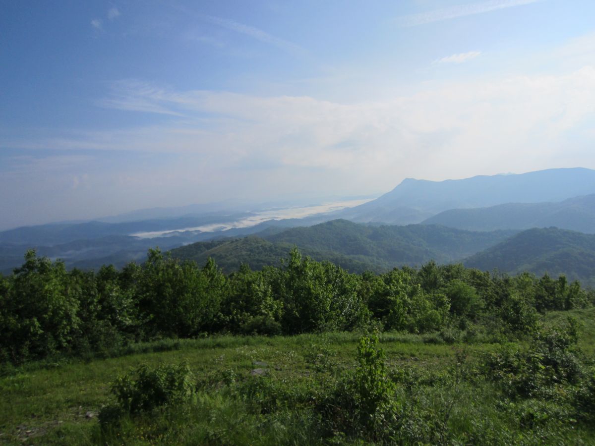
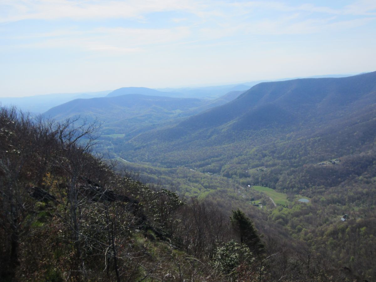
| 17:02, 24 February 2016 | AM Snake Mountain Elk Knob.jpg (file) |  |
155 KB | Tndude | Looking down the valley between Snake Mountain and Elk Knob. The mountains in the distance hover over Boone NC. | 1 |
| 17:04, 24 February 2016 | AM Snake Mountain North Summit.jpg (file) |  |
211 KB | Tndude | Approaching the North Summit. This is the high point of Johnson County TN. | 1 |
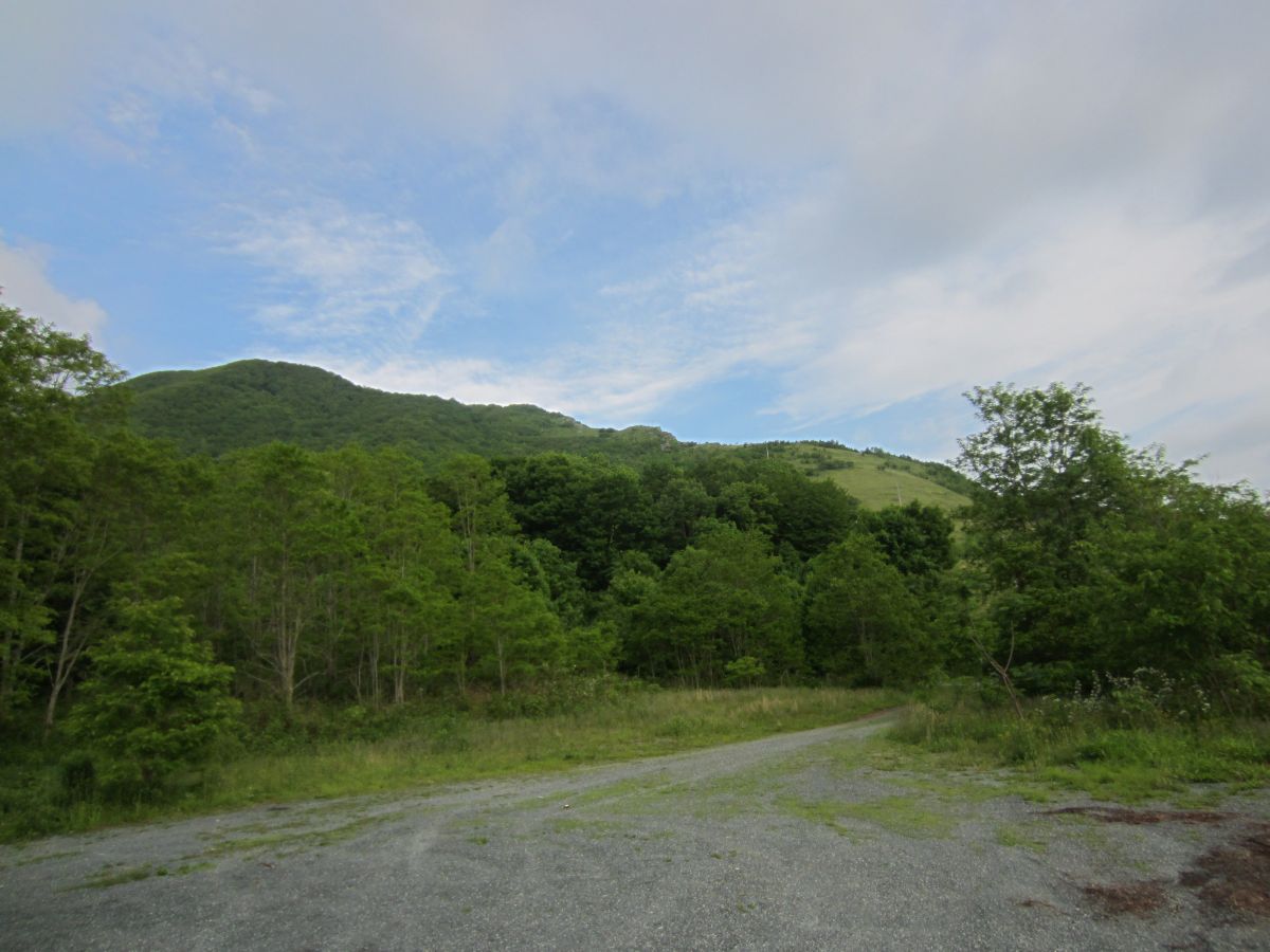
| 16:58, 24 February 2016 | AM Snake Mountain Parking Area.jpg (file) |  |
141 KB | Tndude | 2 | |
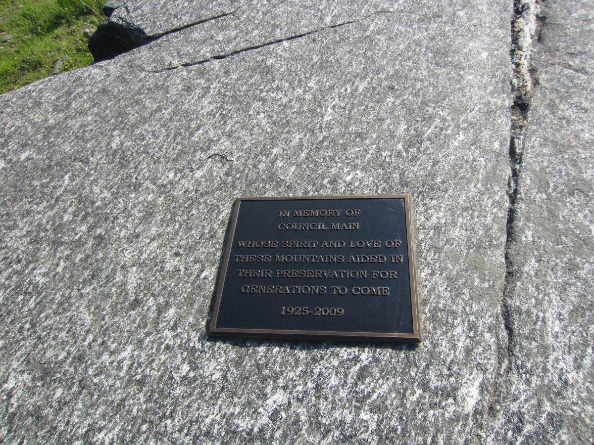
| 17:00, 24 February 2016 | AM Snake Mountain Plaque.jpg (file) |  |
396 KB | Tndude | Plaque dedicated to Council Main | 1 |
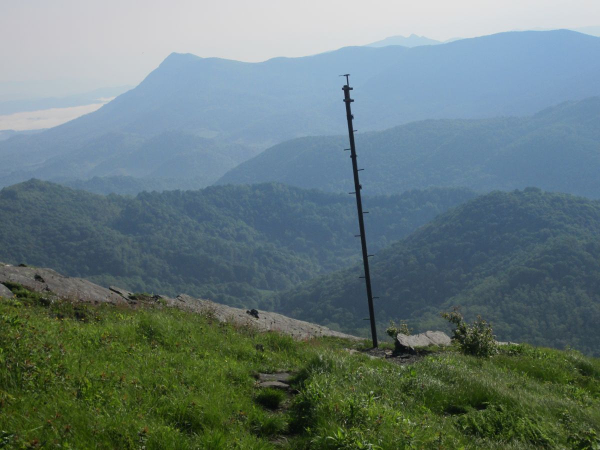
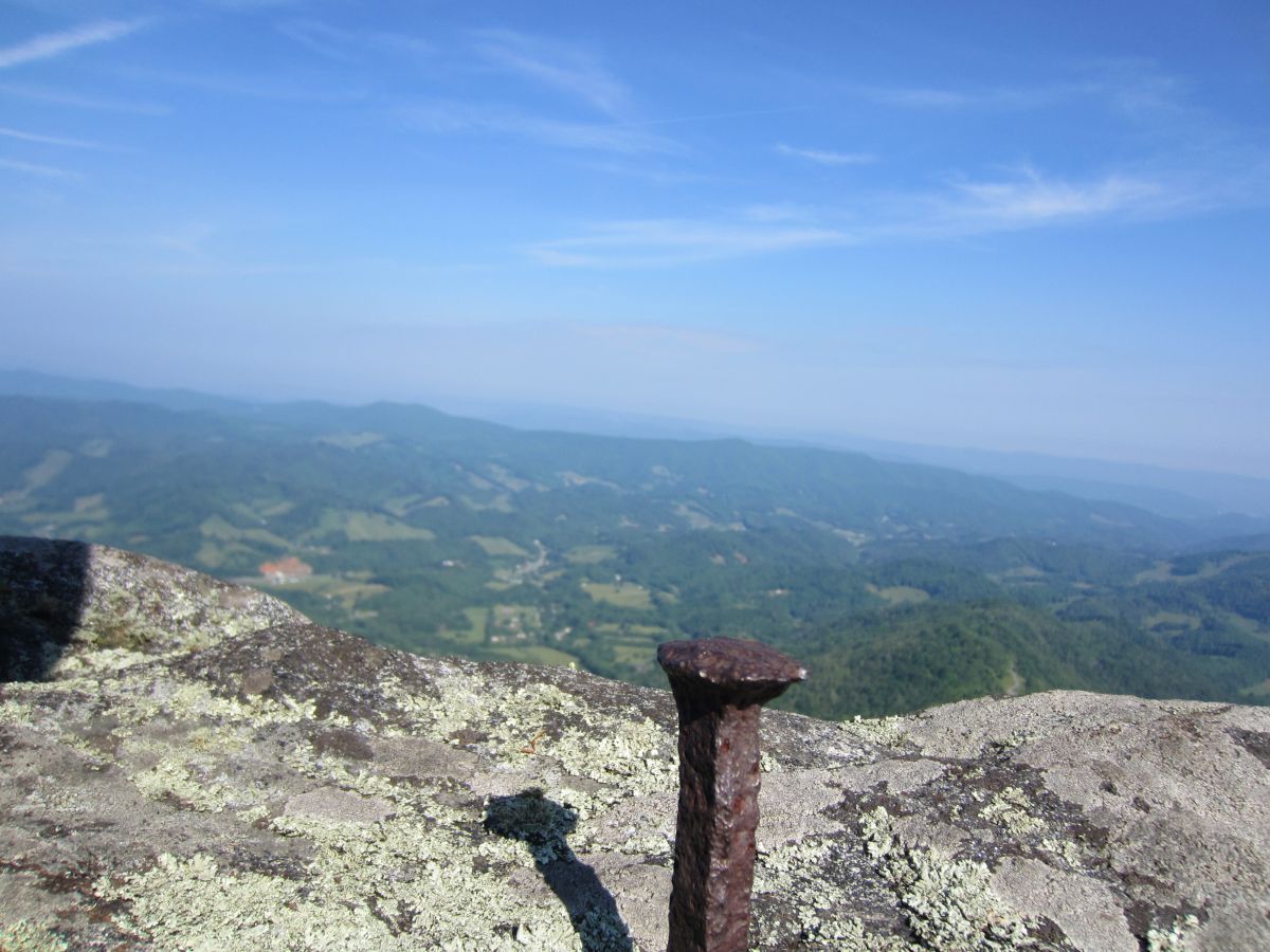
| 17:03, 24 February 2016 | AM Snake Mountain Pole.jpg (file) |  |
138 KB | Tndude | Not sure of the purpose of this pole but it make for a nice subject with a dramatic backdrop. | 1 |
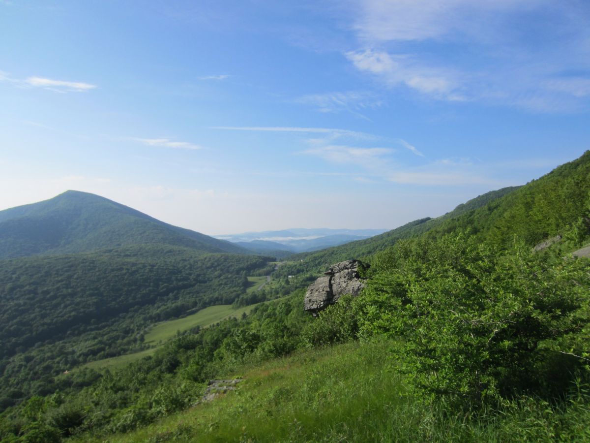
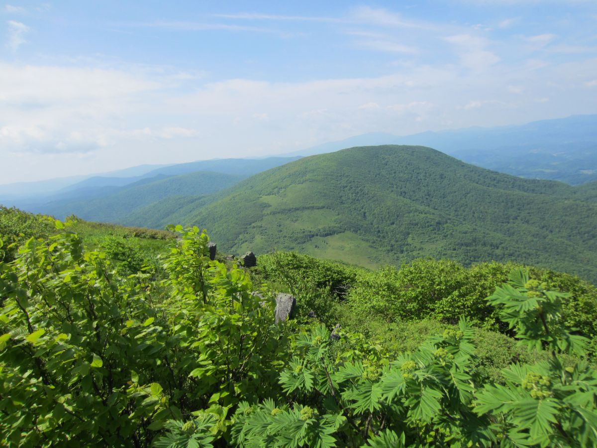
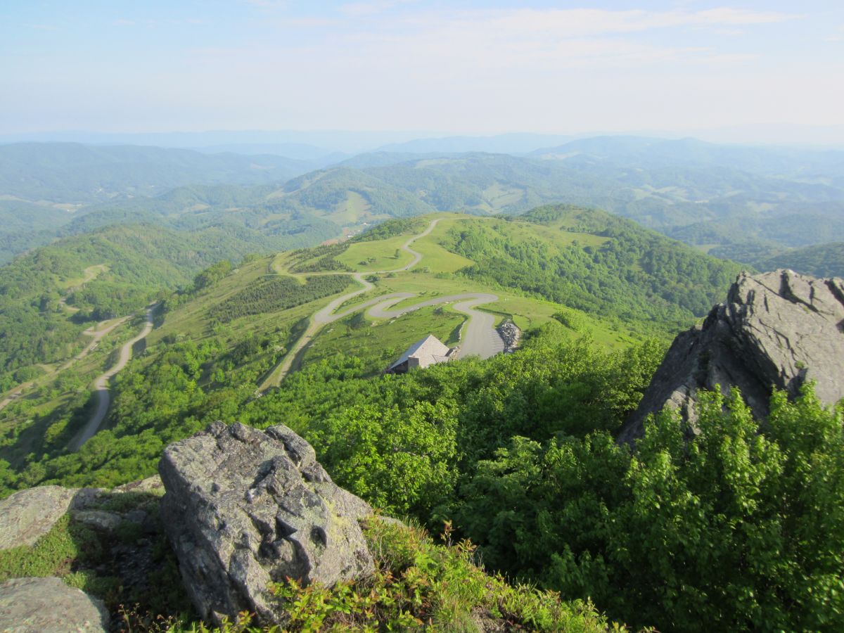
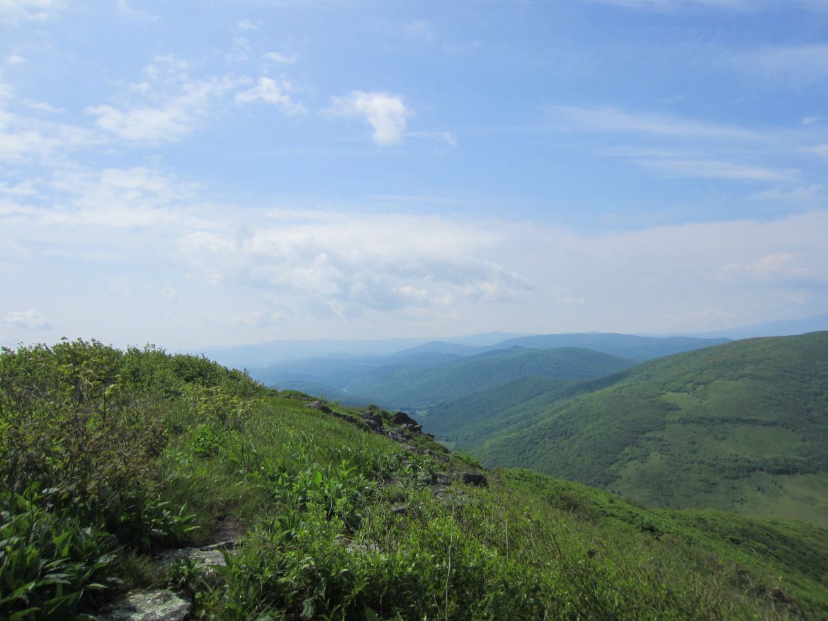
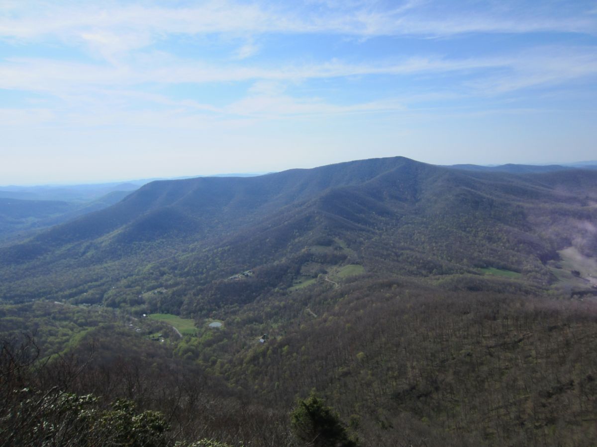
| 17:07, 24 February 2016 | AM Snake Mountain Rich Mountain.jpg (file) |  |
207 KB | Tndude | The meadow after the south summit. Rich Mountain dominates your view here. Grandfather Mountain and the ski areas directly above it in the distance. | 1 |
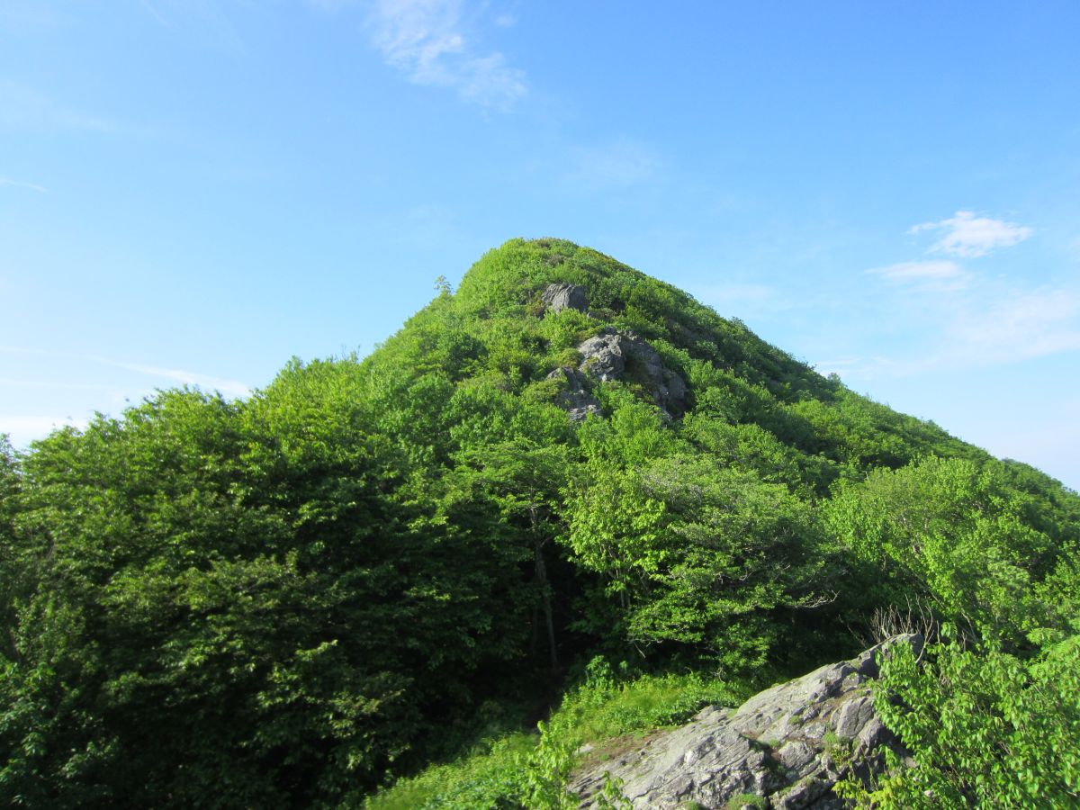
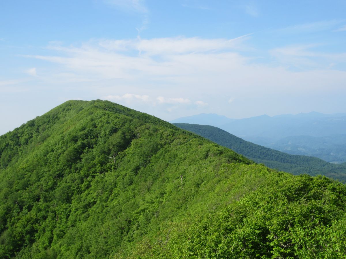
| 17:05, 24 February 2016 | AM Snake Mountain South Summit.jpg (file) |  |
193 KB | Tndude | Looking towards the south summit. Grandfather Mountain, Sugar Mountain and Hanging Rock off in the distance | 1 |
| 17:05, 24 February 2016 | AM Snake Mountain Spike.jpg (file) |  |
177 KB | Tndude | No benchmark but this metal spike marks the summit. 360 degree views! | 1 |
| 17:04, 24 February 2016 | AM Snake Mountain Sunalei Preserve.jpg (file) |  |
205 KB | Tndude | Sunalei Preserve. Very large expensive homes on the side of a mountain. Yuck! | 1 |
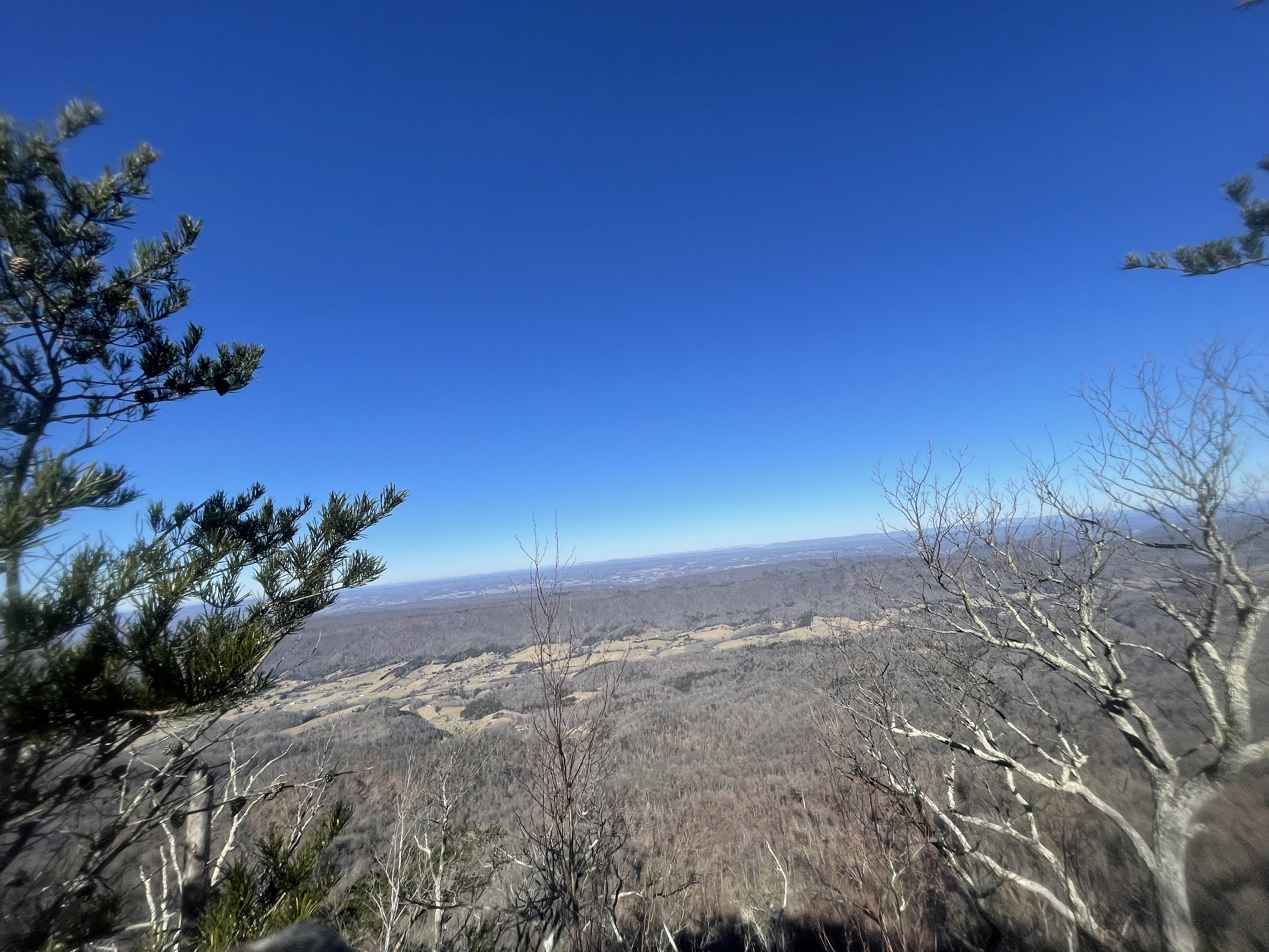
| 17:01, 24 February 2016 | AM Snake Mountain The Peak.jpg (file) |  |
138 KB | Tndude | The view north from the open fields of Snake Mountain. The Peak is the obvious mountain in the distance. | 1 |
| 17:06, 24 February 2016 | AM Snake Mountain View Elk Knob.jpg (file) |  |
128 KB | Tndude | Looking across the valley on the ridgeline towards Elk Knob. | 1 |
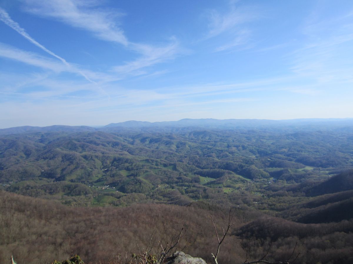
| 17:07, 24 February 2016 | AM Snake Mountain View Meadow.jpg (file) |  |
150 KB | Tndude | Looking towards the mountains over Boone NC | 1 |
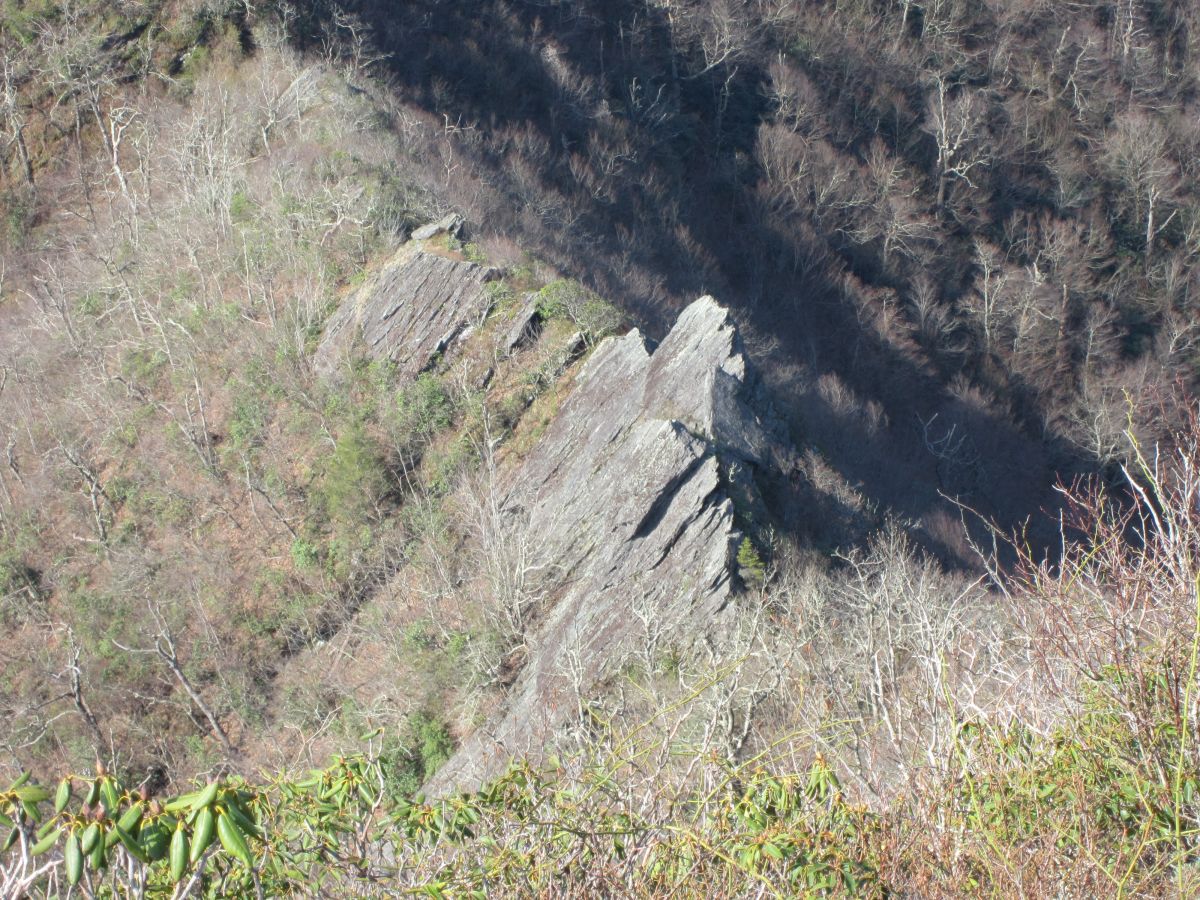
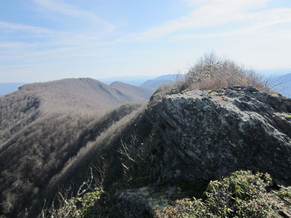
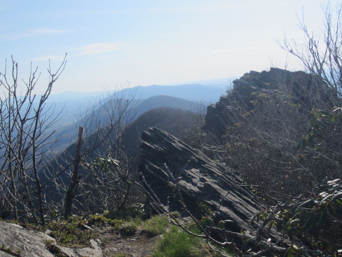
| 16:38, 2 February 2016 | AM Three Top Mountain BR Cliffs 1.jpg (file) |  |
204 KB | Tndude | Starting the rock scramble. You are really exposed here. | 1 |
| 16:38, 2 February 2016 | AM Three Top Mountain BR Cliffs 2.jpg (file) |  |
261 KB | Tndude | Almost there. One final push. | 1 |
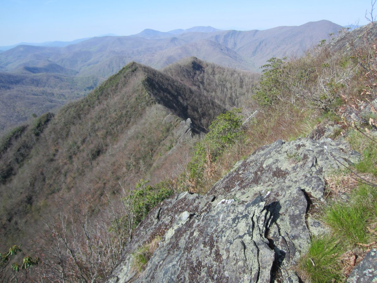
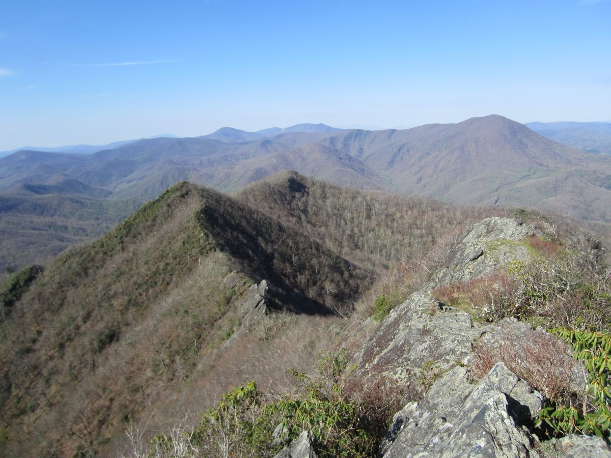
| 16:39, 2 February 2016 | AM Three Top Mountain BR Knifeedge.jpg (file) |  |
328 KB | Tndude | You don't get much more knife-edge than this | 1 |
| 16:37, 2 February 2016 | AM Three Top Mountain BR Path.jpg (file) |  |
410 KB | Tndude | The start of the bushwhack towards Big Rock. Open forest all of the way. | 1 |
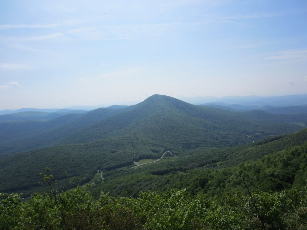
| 16:40, 2 February 2016 | AM Three Top Mountain BR View 1.jpg (file) |  |
140 KB | Tndude | Looking down the valley. Mount Jefferson sticking it's head up in the distance | 1 |
| 16:41, 2 February 2016 | AM Three Top Mountain BR View 2.jpg (file) |  |
206 KB | Tndude | Pretty much the entire Amphibolite Range north of Boone is visible here plus the Roan Highlands and Grandfather Mountain. | 1 |
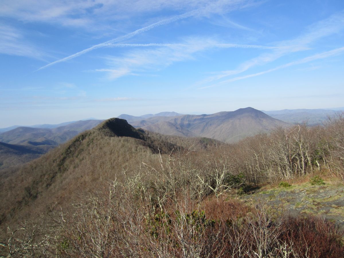
| 16:42, 2 February 2016 | AM Three Top Mountain BR View 3.jpg (file) |  |
163 KB | Tndude | Looking back at the way you came. Huckleberry Knob in the background. | 1 |
| 16:42, 2 February 2016 | AM Three Top Mountain BR View 4.jpg (file) |  |
122 KB | Tndude | Bluff Mountain across the valley | 1 |
| 16:32, 2 February 2016 | AM Three Top Mountain Cascade.jpg (file) |  |
332 KB | Tndude | An unnamed cascade at the start | 1 |
| 16:33, 2 February 2016 | AM Three Top Mountain HK View 1.jpg (file) |  |
184 KB | Tndude | Looking north over the rugged ridgeline towards Phoenix Mountain. | 1 |
| 16:35, 2 February 2016 | AM Three Top Mountain HK View 2.jpg (file) |  |
196 KB | Tndude | Main view of the Amphibolite Mountains south. Large peak in foreground is Big Rock. The Roan Highlands and Grandfather Mountain can all be seen here on clear days. | 1 |
| 16:36, 2 February 2016 | AM Three Top Mountain HK View 3.jpg (file) |  |
119 KB | Tndude | Looking towards Whitetop Mountain, Mount Rogers and the Grayson Highlands in Virginia. | 1 |
| 16:32, 2 February 2016 | AM Three Top Mountain Trailhead.jpg (file) |  |
203 KB | Tndude | The small gravel trailhead | 1 |
| 16:31, 2 February 2016 | AM Three Top Mountain View From 88.jpg (file) |  |
107 KB | Tndude | View Of Three Top Mountain coming from NC 88 | 1 |
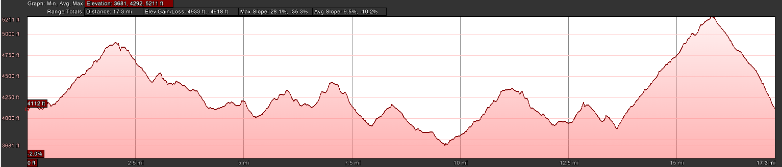
| 19:47, 10 October 2016 | AT2016Hike-19E to Walnut Mountain Road.PNG (file) | 59 KB | Tim | Hike profile of AT section from 19E to Walnut Mountain Road | 1 | |
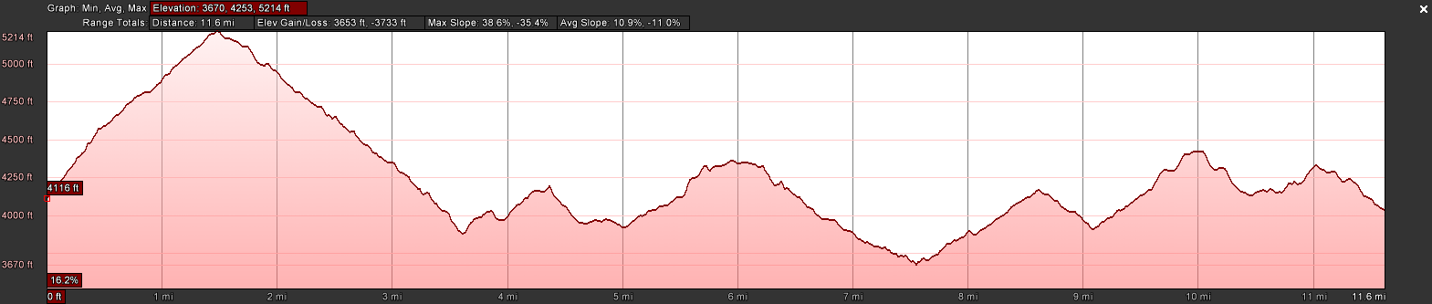
| 07:36, 29 January 2017 | AT2016Hike-321 to Wilbur Dam Rd.PNG (file) | 59 KB | Tim | Profile of the Shook Branch Rd on US321 to Wilbur Dam Rd along Watauga Lake section of the A.T. | 1 | |
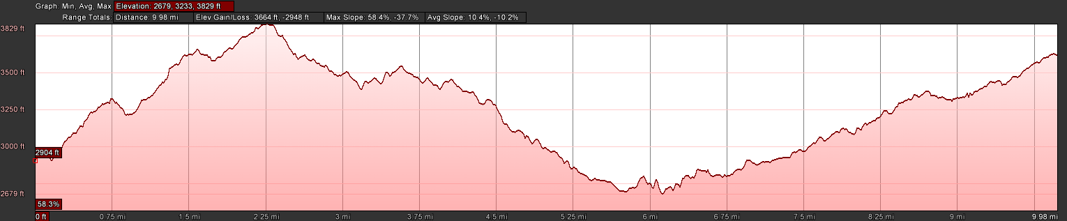
| 20:42, 16 August 2016 | AT2016Hike-Barn to 19E.PNG (file) | 58 KB | Tim | Elevation profile of hike from OMVT Barn to 19E | 1 | |
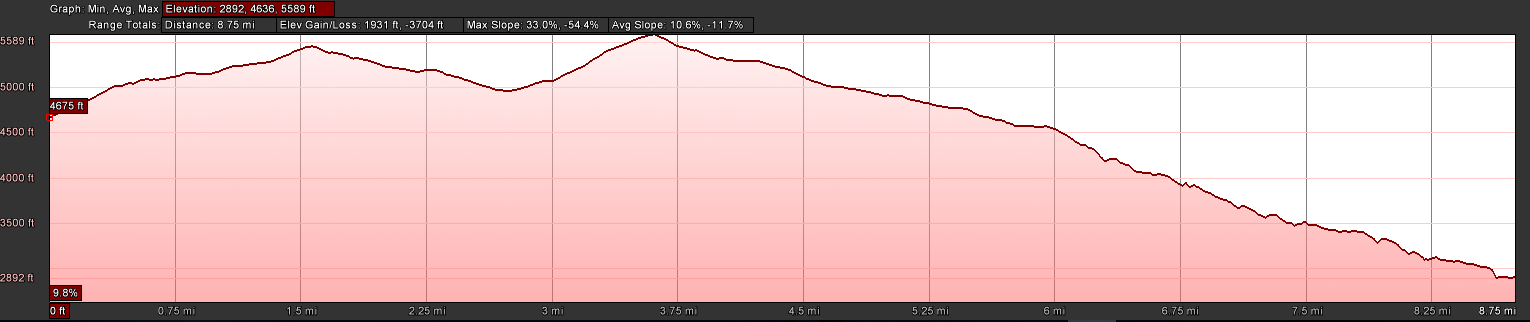
| 08:31, 30 May 2016 | AT2016Hike-Deep Gap to Greasy Creek.PNG (file) | 57 KB | Tim | Profile of June 2016 AT Hike | 1 | |
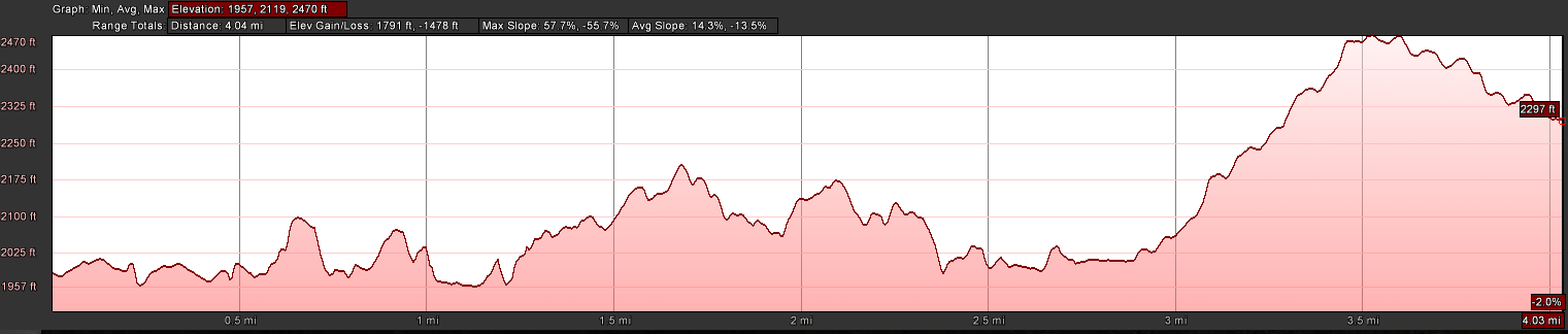
| 10:17, 2 July 2016 | AT2016Hike-Deep Gap to Hughes Gap.PNG (file) | 55 KB | Tim | Profile view of AT hike from Deep Gap to Hughes Gap (Hughes Gap on the left) | 1 |