File list
Jump to navigation
Jump to search
This special page shows all uploaded files.
| Date | Name | Thumbnail | Size | User | Description | Versions |
|---|---|---|---|---|---|---|
| 17:36, 13 March 2026 | Morrell Trail Trailmarker.jpg (file) |  |
971 KB | Dewey (talk | contribs) | 1 | |
| 17:08, 13 March 2026 | Morrell Trail Intersection Holston Mt Horse Trail.jpg (file) |  |
718 KB | Dewey (talk | contribs) | 2 | |
| 10:22, 6 March 2026 | Morrell Trail Intersection With Holston Mt Trail West.jpg (file) |  |
3.84 MB | Dewey (talk | contribs) | 1 | |
| 10:15, 6 March 2026 | Morrel Trail Lower Trailhead.jpg (file) |  |
331 KB | Dewey (talk | contribs) | 1 | |
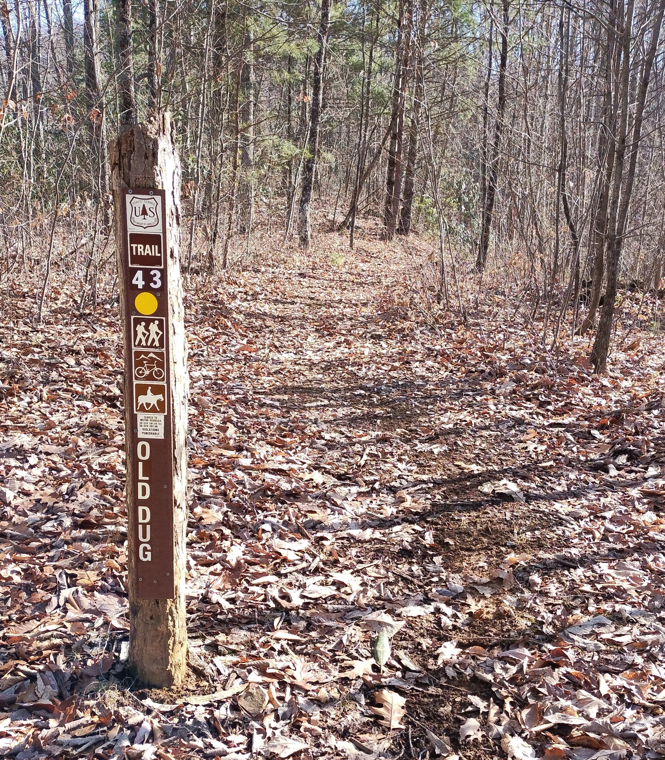
| 15:25, 5 March 2026 | Old Dug Intersection With Holston Mt Trail West.JPG (file) |  |
578 KB | Dewey (talk | contribs) | 1 | |
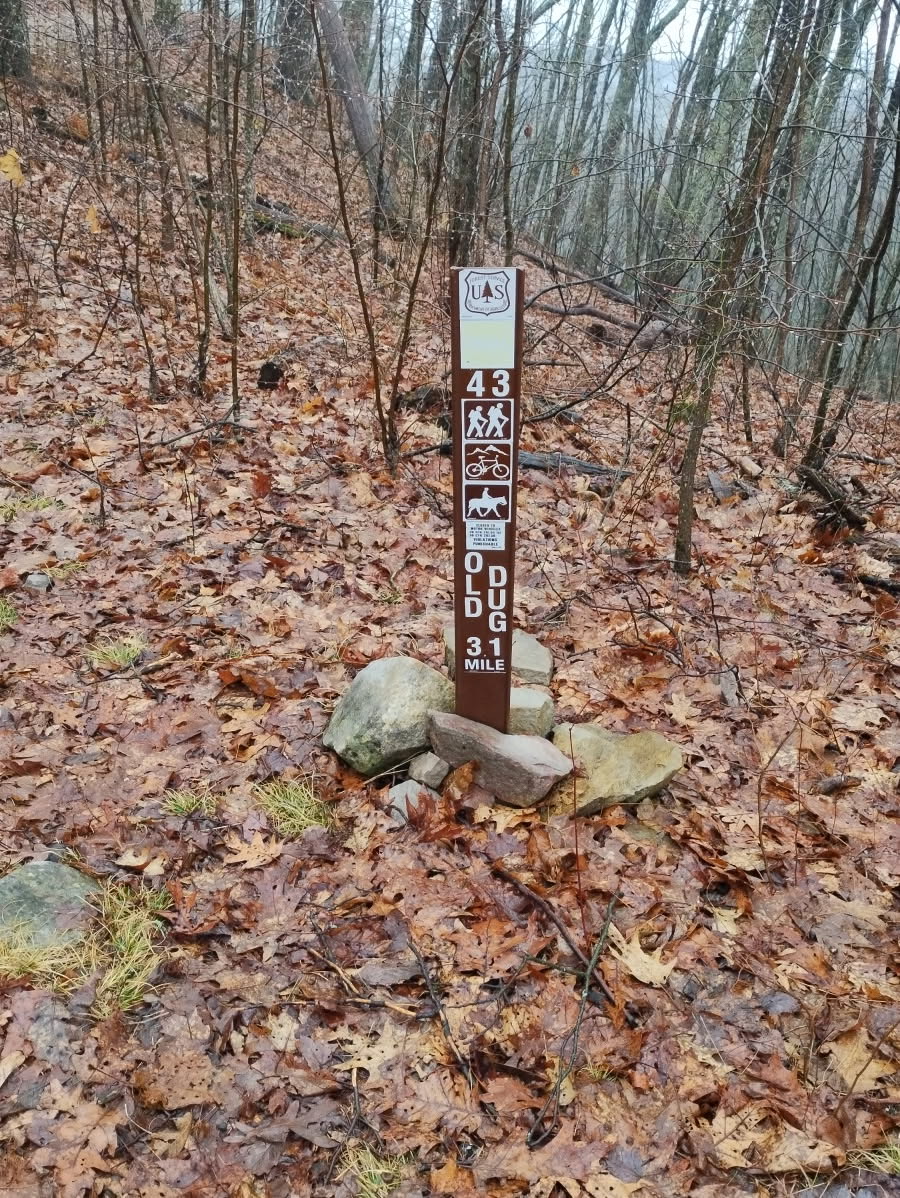
| 15:16, 5 March 2026 | Old Dug Lower Trailhead.jpg (file) |  |
3.83 MB | Dewey (talk | contribs) | 1 | |
| 20:46, 2 March 2026 | Old Dug Trail.kml (file) | 6 KB | Dewey (talk | contribs) | From the marked trailhead to the junction with Holston Mt Trail West | 1 | |
| 11:52, 21 February 2026 | Three Top Mountain.kml (file) | 4 KB | Tim (talk | contribs) | 2 | ||
| 11:54, 12 February 2026 | Morrell Trail.kml (file) | 16 KB | Dewey (talk | contribs) | There is a Forest Service flexible trail post marking the trail. The lower trail is an easy grade with flat areas suitable for camping. The upper trail is steeper but has multiple switchbacks. | 1 | |
| 21:04, 8 February 2026 | Josiah Trail.kml (file) | 12 KB | Dewey (talk | contribs) | 3 | ||
| 21:57, 26 January 2026 | Track 20260122 142146 (2).kml (file) | 86 KB | Dewey (talk | contribs) | Josiah Trail | 1 | |
| 23:17, 6 April 2025 | Little Stony Creek Falls.kml (file) | 10 KB | Tim (talk | contribs) | remove closure markings | 2 | |
| 08:37, 30 August 2024 | IMG 2438.jpeg (file) |  |
6.54 MB | Manley (talk | contribs) | 1 | |
| 08:35, 30 August 2024 | IMG 2440.jpeg (file) |  |
4.03 MB | Manley (talk | contribs) | 1 | |
| 08:32, 30 August 2024 | IMG 2431.jpeg (file) |  |
4.57 MB | Manley (talk | contribs) | 1 | |
| 08:31, 30 August 2024 | IMG 8671.png (file) |  |
3.1 MB | Manley (talk | contribs) | 1 | |
| 10:06, 25 June 2023 | Pipestem Entrance.jpg (file) |  |
96 KB | Tim (talk | contribs) | 1 | |
| 11:54, 24 June 2023 | WPSP Ridgetop Sign.JPG (file) |  |
5.24 MB | Tim (talk | contribs) | 1 | |
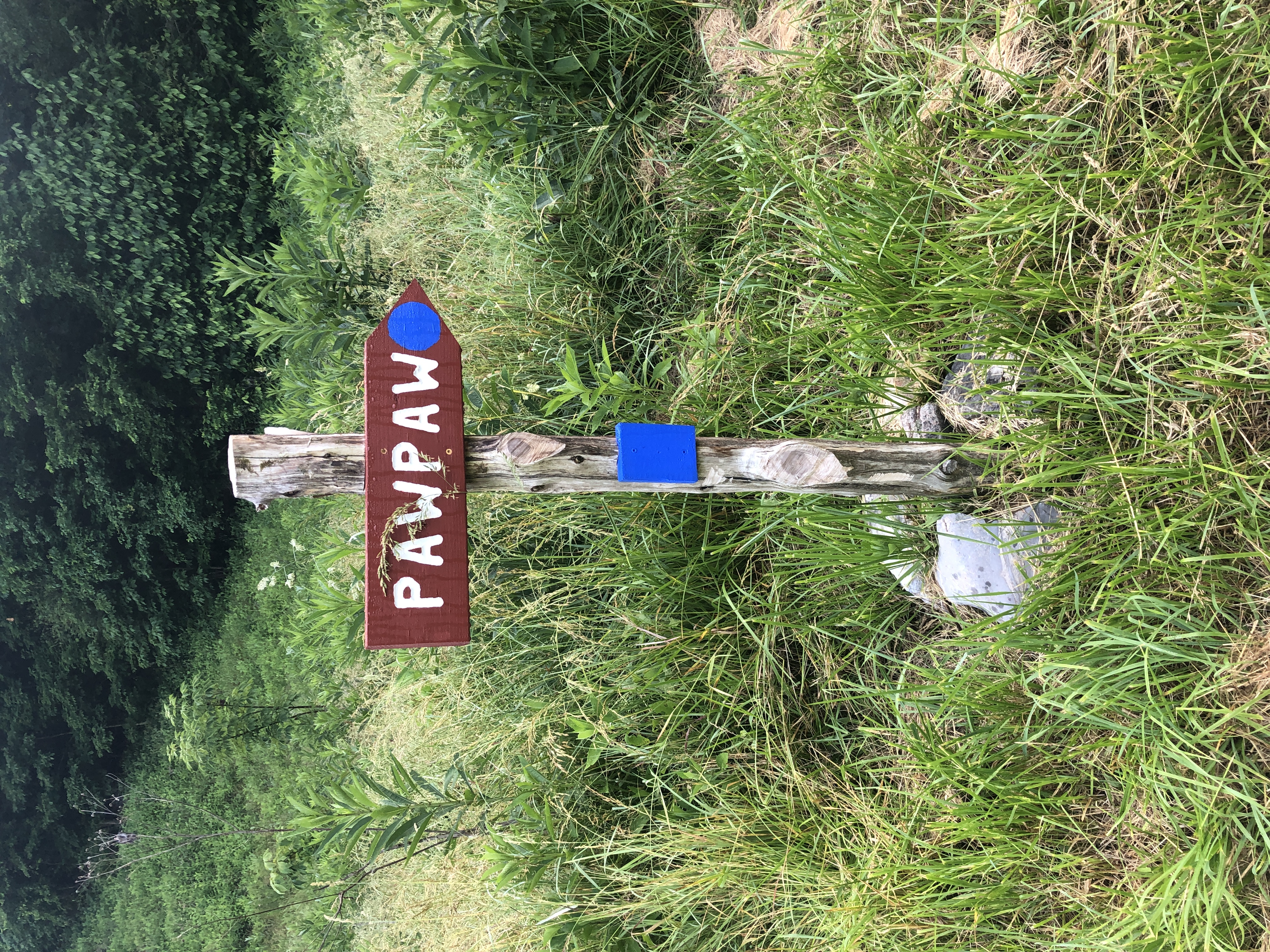
| 11:50, 24 June 2023 | WPSP Pawpaw sign.JPG (file) |  |
6.43 MB | Tim (talk | contribs) | 1 | |
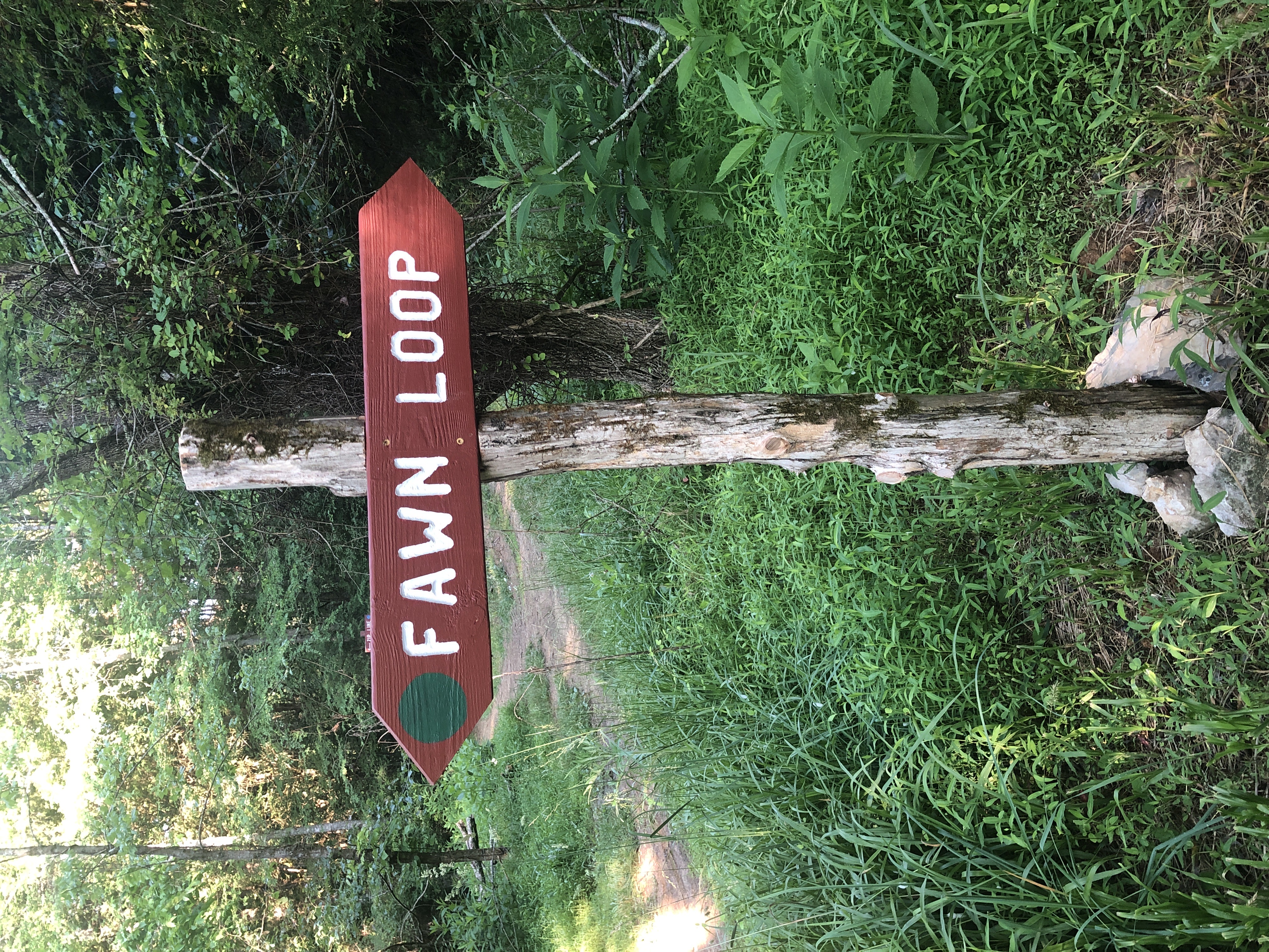
| 11:47, 24 June 2023 | WPSP Fawn Loop Sign.JPG (file) |  |
5.34 MB | Tim (talk | contribs) | 1 | |
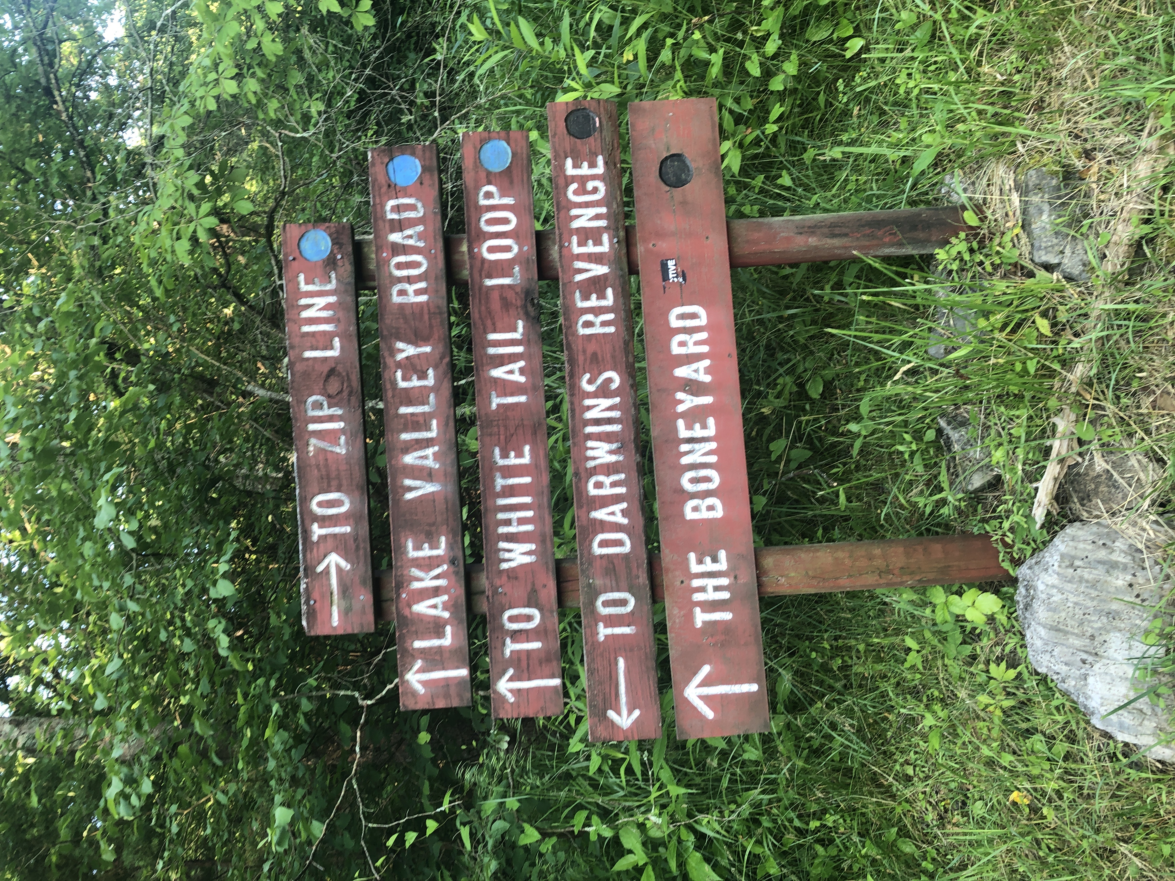
| 11:44, 24 June 2023 | WPSP Main Split signs.JPG (file) |  |
4.76 MB | Tim (talk | contribs) | 1 | |
| 11:33, 24 June 2023 | Boneyard.kml (file) | 11 KB | Tim (talk | contribs) | 3 | ||
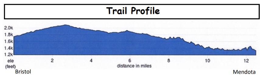
| 18:54, 16 June 2023 | Mendota Trail Elevation Profile.jpg (file) |  |
35 KB | Vhasler (talk | contribs) | Snipped from May 2023 trail newsletter | 1 |
| 21:27, 21 May 2023 | IMG 3505.jpg (file) |  |
206 KB | Vhasler (talk | contribs) | 1 | |
| 21:24, 21 May 2023 | IMG 3502.jpg (file) |  |
218 KB | Vhasler (talk | contribs) | 1 | |
| 21:12, 21 May 2023 | IMG 3501.jpg (file) |  |
181 KB | Vhasler (talk | contribs) | 1 | |
| 21:10, 21 May 2023 | IMG 3496.jpg (file) |  |
197 KB | Vhasler (talk | contribs) | 1 | |
| 21:04, 21 May 2023 | IMG 3495.jpg (file) |  |
161 KB | Vhasler (talk | contribs) | 1 | |
| 10:45, 8 January 2023 | The Channels Natural Area Preserve.kml (file) | 43 KB | Tim (talk | contribs) | 1 | ||
| 20:28, 29 January 2022 | 5374A196-26BA-4090-BFB4-CDD5C881E25E.jpeg (file) |  |
3.74 MB | Whatsup123& (talk | contribs) | 2 | |
| 20:21, 29 January 2022 | 9E8060EB-B7D5-4E45-8B17-4AE445F0509C.jpeg (file) |  |
278 KB | Whatsup123& (talk | contribs) | 1 | |
| 21:56, 11 December 2021 | IMG 20210927 192623.jpg (file) |  |
2.05 MB | Matta (talk | contribs) | 1 | |
| 10:57, 25 November 2021 | 2.jpg (file) |  |
106 KB | Vhasler (talk | contribs) | 1 | |
| 10:55, 25 November 2021 | 1.jpg (file) |  |
149 KB | Vhasler (talk | contribs) | 1 | |
| 11:48, 10 November 2021 | Charlies Bunion Banner.jpg (file) |  |
89 KB | Andysteffan (talk | contribs) | 1 | |
| 22:50, 19 September 2021 | Tower Ridge Trail.kml (file) | 5 KB | Tim (talk | contribs) | 1 | ||
| 22:31, 19 September 2021 | White Rock Trail.kml (file) | 14 KB | Tim (talk | contribs) | 1 | ||
| 21:55, 19 September 2021 | The Noggin Trail.kml (file) | 3 KB | Tim (talk | contribs) | 1 | ||
| 21:21, 19 September 2021 | Hartsell Hollow Trail.kml (file) | 2 KB | Tim (talk | contribs) | 1 | ||
| 16:24, 19 September 2021 | Fork Ridge Trail.kml (file) | 4 KB | Tim (talk | contribs) | 1 | ||
| 16:14, 19 September 2021 | Fork Knob Trail.kml (file) | 5 KB | Tim (talk | contribs) | 1 | ||
| 13:58, 19 September 2021 | Cascade Trail.kml (file) | 11 KB | Tim (talk | contribs) | 1 | ||
| 13:50, 19 September 2021 | High Ridge Trail.kml (file) | 3 KB | Tim (talk | contribs) | 1 | ||
| 13:33, 19 September 2021 | Lone Oak Trail.kml (file) | 9 KB | Tim (talk | contribs) | 1 | ||
| 11:34, 19 September 2021 | Wahoo.kml (file) | 12 KB | Tim (talk | contribs) | change track color for visibility (was white, now orange) | 2 | |
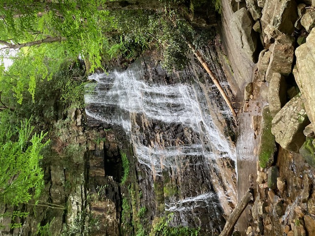
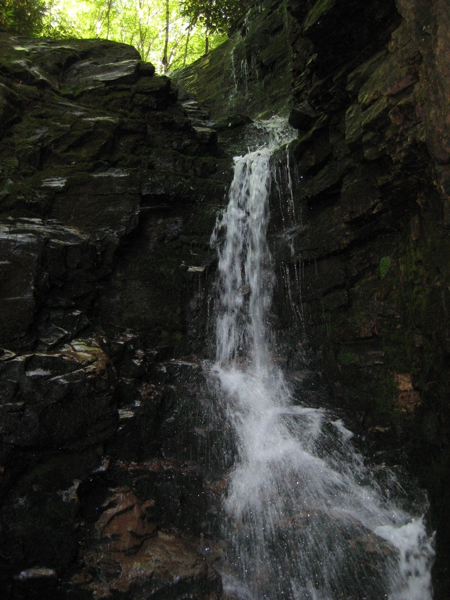
| 11:06, 19 September 2021 | Rock Creek Falls.jpg (file) |  |
420 KB | Tim (talk | contribs) | Rotate! | 2 |
| 10:32, 19 September 2021 | Rock Creek Falls.kml (file) | 4 KB | Tim (talk | contribs) | 1 | ||
| 13:14, 11 July 2021 | Laurel Run Trail.kml (file) | 6 KB | Tim (talk | contribs) | Added overlook trail courtesy of Vic Hasler. This was specifically to change the overlook trail color to not conflict with Pretty Ridge Trail KML color. | 3 | |
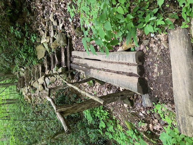
| 07:14, 11 July 2021 | Kitchen Rock Trail eastern stairs.jpg (file) |  |
183 KB | Vhasler (talk | contribs) | 1 | |
| 07:13, 11 July 2021 | Kitchen Rock Trail western stairs.jpg (file) |  |
180 KB | Vhasler (talk | contribs) | 1 |