File list
Jump to navigation
Jump to search
This special page shows all uploaded files.
| Date | Name | Thumbnail | Size | User | Description | Versions |
|---|---|---|---|---|---|---|
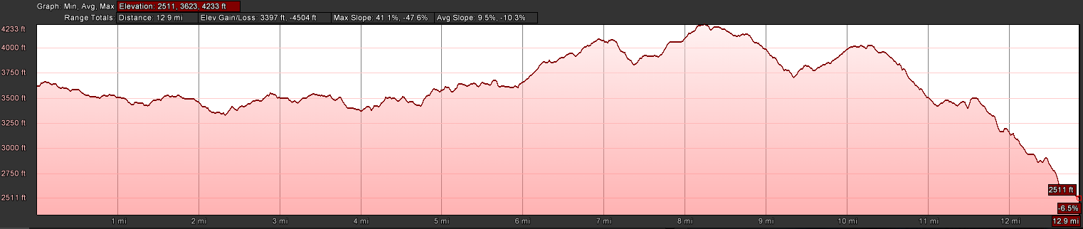
| 07:35, 29 January 2017 | AT2016Hike-Dennis Cove to Laurel Fork Trail.PNG (file) | 59 KB | Tim | Profile of the Dennis Cove to Laurel Fork Trail section of the A.T. | 1 | |
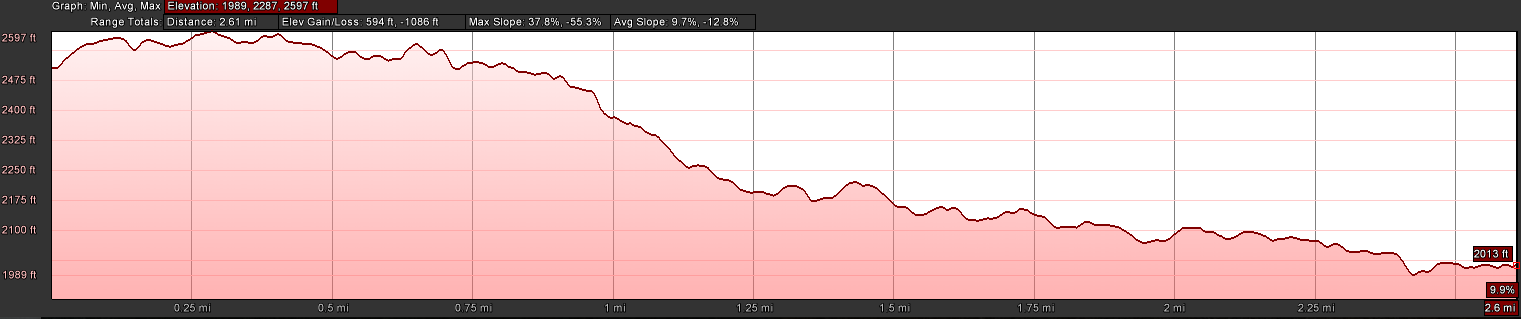
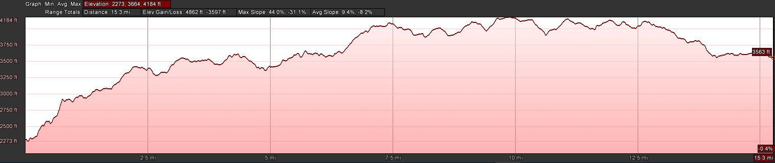
| 07:36, 29 January 2017 | AT2016Hike-Laurel Fork Trail to 321.PNG (file) | 56 KB | Tim | Profile of the Laurel Fork Trail on to Pond Mountain to Shook Branch Rd on US321 section of the A.T. | 1 | |
| 08:55, 30 May 2016 | AT2016Hike-Nolichucky to Deep Gap.PNG (file) | 57 KB | Tim | Profile of Nolichucky to Deep Gap for 2016 AT Hike | 1 | |
| 08:52, 30 May 2016 | AT2016Hike-Spivey Gap to Nolichucky.PNG (file) | 66 KB | Tim | Profile of Nolichucky to Spivey Gap for 2016 AT Hike | 1 | |
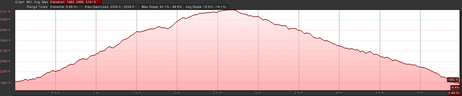
| 20:47, 1 November 2016 | AT2016Hike-Walnut Mountain Road to Dennis Cove Road.PNG (file) | 63 KB | Tim | Profile of Walnut Mountain Road to Dennis Cove Road | 1 | |
| 08:02, 29 January 2017 | AT2016Hike-Wilbur Dam Rd to TN91.PNG (file) | 60 KB | Tim | Profile of Wilbur Dam Rd across Iron Mountain to TN91 portion of the A.T. | 1 | |
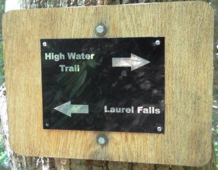
| 14:59, 4 July 2012 | AT - High Water Trail intersection.JPG (file) |  |
91 KB | Vhasler | 1 | |
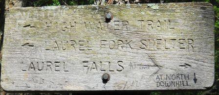
| 17:10, 4 July 2012 | AT - High Water Trail intersection2.JPG (file) |  |
92 KB | Vhasler | 1 | |
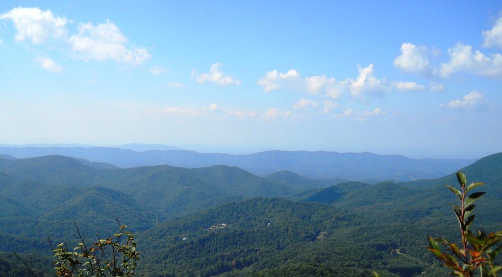
| 18:37, 19 January 2013 | AT - Little Rock Knob1.JPG (file) |  |
118 KB | Vhasler | 1 | |
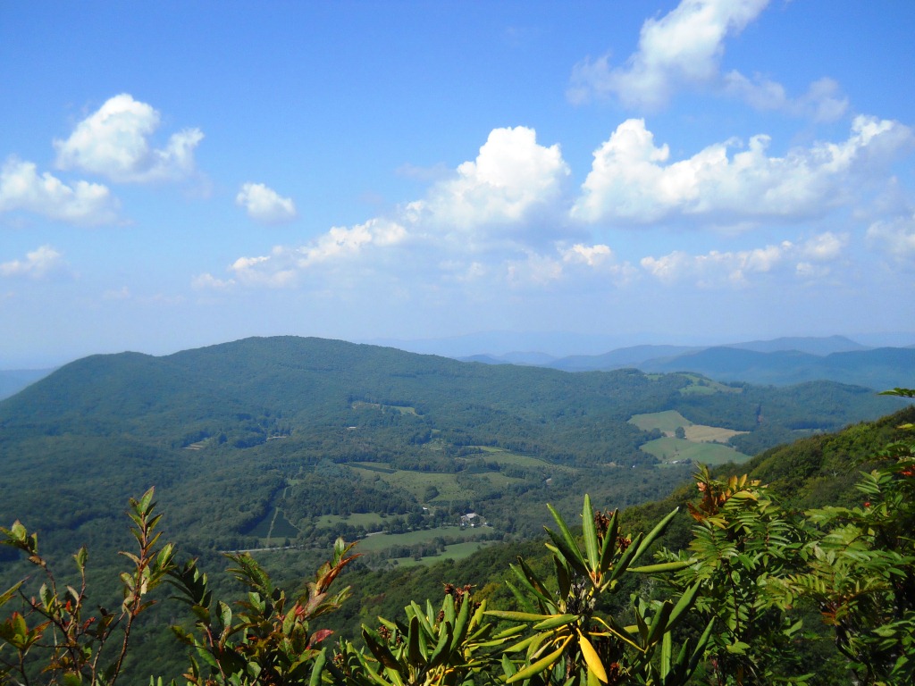
| 18:41, 19 January 2013 | AT - Little Rock Knob2.JPG (file) |  |
265 KB | Vhasler | 1 | |
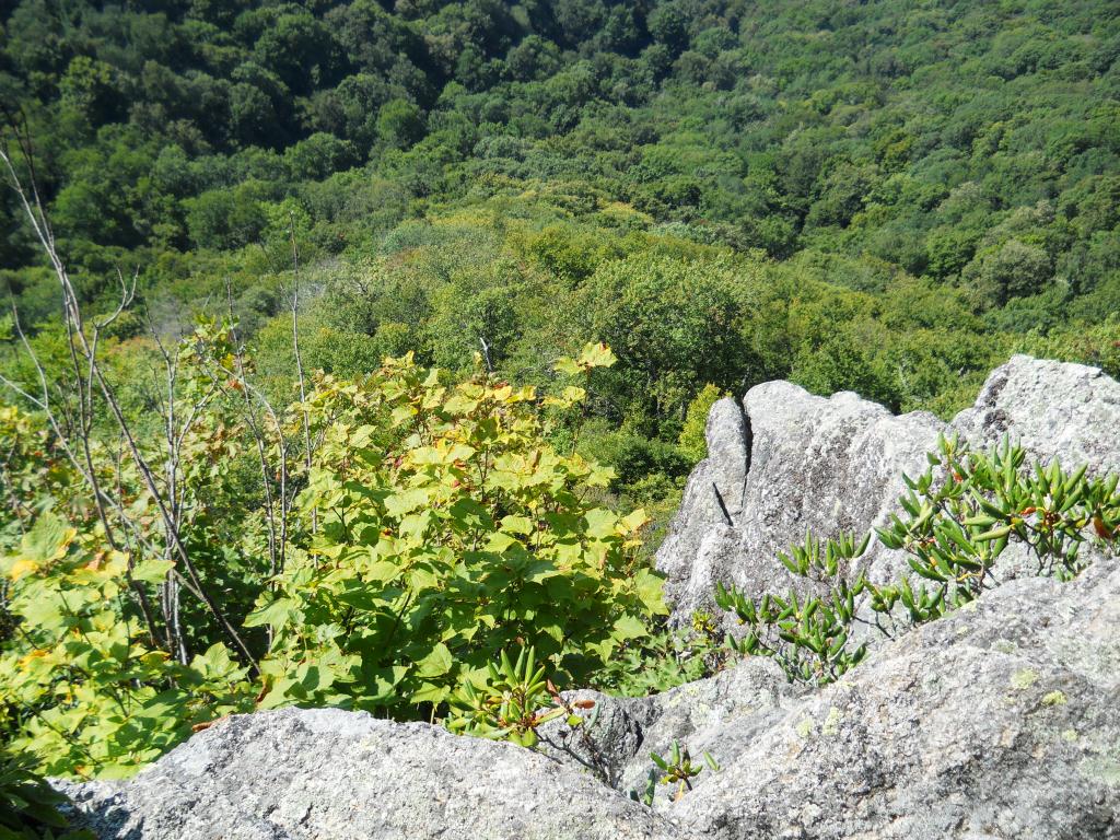
| 18:43, 19 January 2013 | AT - Little Rock Knob3.JPG (file) |  |
307 KB | Vhasler | 1 | |
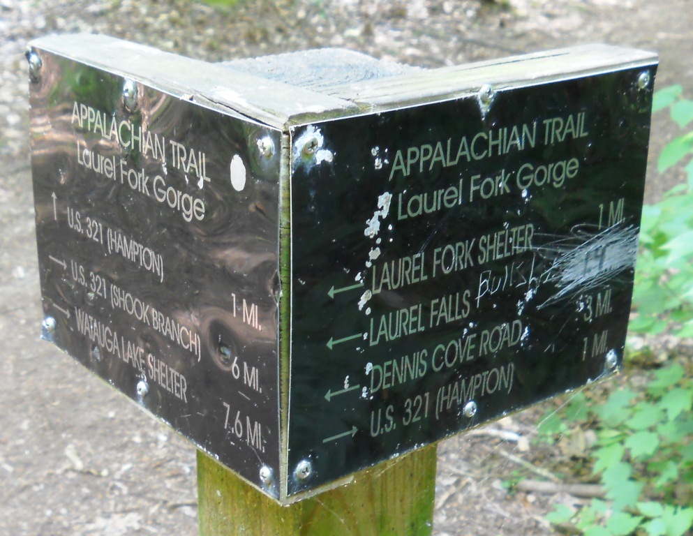
| 06:06, 2 July 2012 | AT Laurel Fork Gorge sign.JPG (file) |  |
291 KB | Vhasler | 1 | |
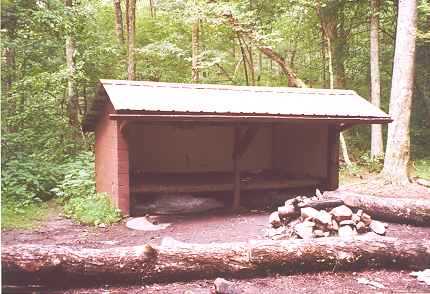
| 21:03, 12 April 2012 | Abingdon Gap Shelter.jpg (file) |  |
23 KB | Vhasler | 1 | |
| 21:00, 12 April 2012 | Abingdon Gap Shelter spring Apr2007.jpg (file) |  |
66 KB | Vhasler | April 2007 | 1 |
| 23:27, 22 November 2019 | Azalea.kml (file) | 3 KB | Tim | 1 | ||
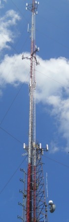
| 02:57, 17 June 2011 | BMP Antennas.JPG (file) |  |
82 KB | Vhasler | 1 | |
| 03:09, 17 June 2011 | BMP Antennas2.JPG (file) |  |
79 KB | Vhasler | 1 | |
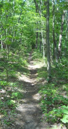
| 02:49, 17 June 2011 | BMP Azalea Trail.JPG (file) |  |
106 KB | Vhasler | 1 | |
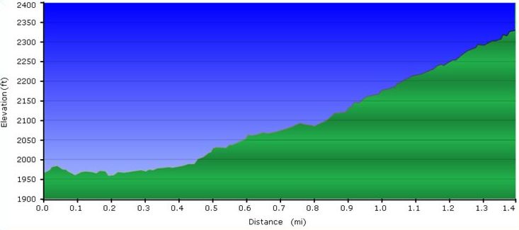
| 09:52, 18 June 2011 | BMP Azalea Trail profile.JPG (file) |  |
33 KB | Vhasler | 1 | |
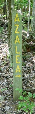
| 02:26, 17 June 2011 | BMP Azalea Trail sign.JPG (file) |  |
86 KB | Vhasler | 1 | |
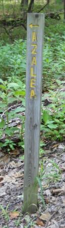
| 02:47, 17 June 2011 | BMP Azalea Trail sign at BMR.JPG (file) |  |
80 KB | Vhasler | 1 | |
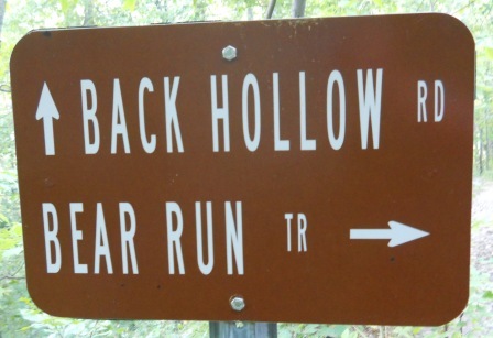
| 21:38, 12 August 2011 | BMP BET-BHR sign.JPG (file) |  |
105 KB | Vhasler | 1 | |
| 21:36, 12 August 2011 | BMP BET-RM.JPG (file) |  |
89 KB | Vhasler | More compression | 2 |
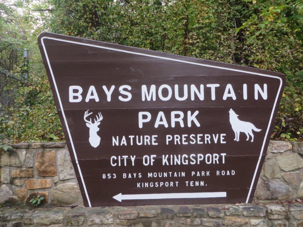
| 00:41, 4 October 2015 | BMP Bays Mountain Park Sign.jpg (file) |  |
248 KB | Tim | Front entrance sign to Bays Mountain Park | 1 |
| 07:35, 24 April 2011 | BMP Bays Mountain Road gate.JPG (file) |  |
270 KB | Vhasler | 1 | |
| 05:50, 2 May 2011 | BMP Bays Ridge Road overlook.JPG (file) |  |
180 KB | Vhasler | 1 | |
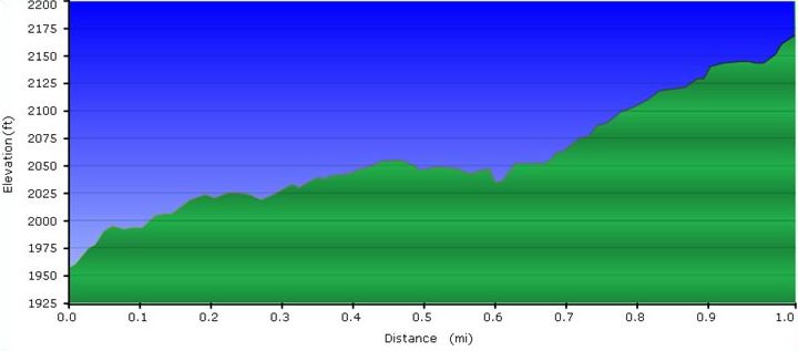
| 09:55, 2 May 2011 | BMP Bays Ridge Road profile.JPG (file) |  |
32 KB | Vhasler | 1 | |
| 09:59, 2 May 2011 | BMP Bays Ridge Trail profile.JPG (file) |  |
33 KB | Vhasler | 1 | |
| 05:54, 2 May 2011 | BMP Bays Ridge Trail sign.JPG (file) |  |
111 KB | Vhasler | 1 | |
| 21:09, 12 August 2011 | BMP Bear Run Trail.JPG (file) |  |
99 KB | Vhasler | 1 | |
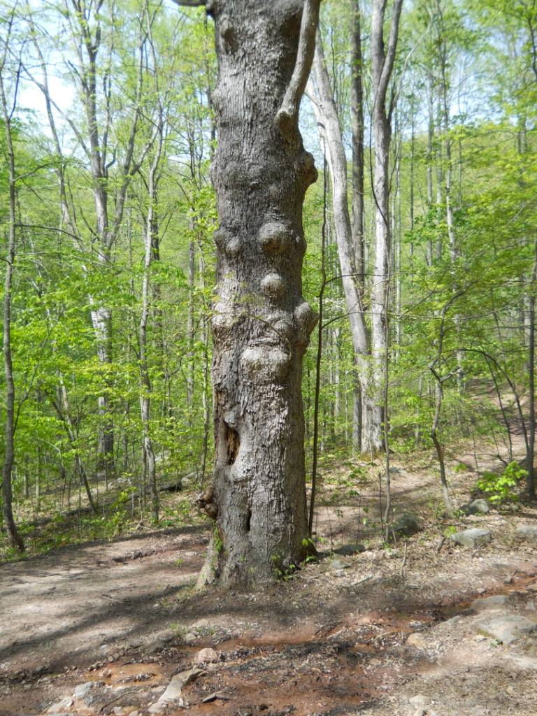
| 04:51, 25 April 2011 | BMP Big Oak.JPG (file) |  |
256 KB | Vhasler | 1 | |
| 02:42, 17 June 2011 | BMP Big Oak - Chinquapin Trail sign.JPG (file) |  |
83 KB | Vhasler | 1 | |
| 02:44, 17 June 2011 | BMP Big Oak Trail.JPG (file) |  |
98 KB | Vhasler | 1 | |
| 09:58, 18 June 2011 | BMP Big Oak Trail profile.JPG (file) |  |
32 KB | Vhasler | 1 | |
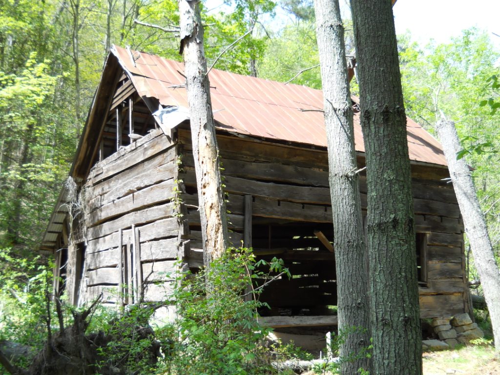
| 05:18, 25 April 2011 | BMP Bill Simpson barn.JPG (file) |  |
301 KB | Vhasler | 1 | |
| 05:12, 25 April 2011 | BMP Bill Simpson cabin.JPG (file) |  |
284 KB | Vhasler | 1 | |
| 16:46, 24 April 2011 | BMP CK-CR sign.JPG (file) |  |
87 KB | Vhasler | 1 | |
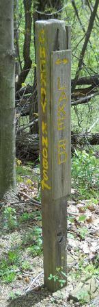
| 16:08, 24 April 2011 | BMP CK LR sign1.JPG (file) |  |
85 KB | Vhasler | 1 | |
| 16:12, 24 April 2011 | BMP CK LR sign2.JPG (file) |  |
84 KB | Vhasler | 1 | |
| 04:58, 25 April 2011 | BMP CR FHR sign.JPG (file) |  |
79 KB | Vhasler | 1 | |
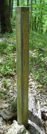
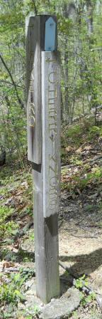
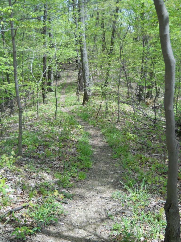
| 05:58, 25 April 2011 | BMP Cherry Knobs Trail.JPG (file) |  |
257 KB | Vhasler | 1 | |
| 15:47, 24 April 2011 | BMP Cherry Knobs azaleas.JPG (file) |  |
288 KB | Vhasler | 1 | |
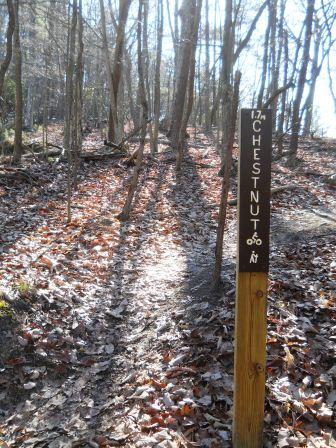
| 21:47, 27 December 2013 | BMP Chestnut Trail1.JPG (file) |  |
118 KB | Vhasler | 1 | |
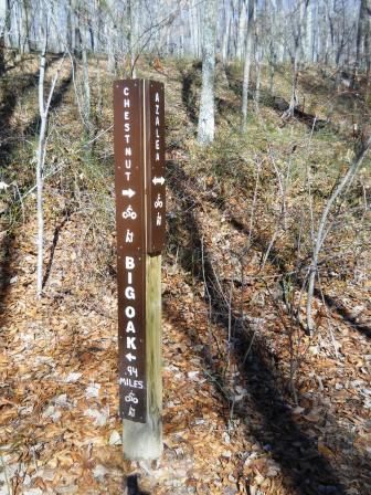
| 22:04, 27 December 2013 | BMP Chestnut Trail2.JPG (file) |  |
116 KB | Vhasler | 1 | |
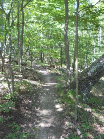
| 22:16, 27 December 2013 | BMP Chestnut Trail3.JPG (file) |  |
113 KB | Vhasler | 1 | |
| 06:09, 30 June 2011 | BMP Chinquapin Trail.JPG (file) |  |
107 KB | Vhasler | 1 | |
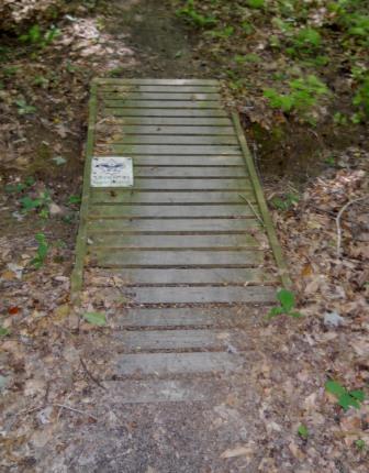
| 06:04, 30 June 2011 | BMP Chinquapin Trail bridge1.JPG (file) |  |
105 KB | Vhasler | 1 | |
| 06:08, 30 June 2011 | BMP Chinquapin Trail bridge2.JPG (file) |  |
95 KB | Vhasler | 1 | |
| 07:17, 30 April 2011 | BMP Cliffside Trail higher overlook.JPG (file) |  |
82 KB | Vhasler | 1 | |
| 07:09, 24 April 2011 | BMP Cliffside Trail lookout.JPG (file) |  |
280 KB | Vhasler | 1 |