File:AM Three Top Mountain BR View 2.jpg: Difference between revisions
Jump to navigation
Jump to search
(Pretty much the entire Amphibolite Range north of Boone is visible here plus the Roan Highlands and Grandfather Mountain.) |
No edit summary |
||
| Line 1: | Line 1: | ||
Pretty much the entire Amphibolite Range north of Boone is visible here plus the Roan Highlands and Grandfather Mountain. | Pretty much the entire Amphibolite Range north of Boone is visible here plus the Roan Highlands and Grandfather Mountain. | ||
{{Image | |||
|File name=AM Three Top Mountain BR View 2.jpg | |||
|Trail=Three Top Mountain | |||
|Caption=Pretty much the entire Amphibolite Range north of Boone is visible here plus the Roan Highlands and Grandfather Mountain. | |||
}} | |||
Latest revision as of 21:36, 8 December 2019
Pretty much the entire Amphibolite Range north of Boone is visible here plus the Roan Highlands and Grandfather Mountain.
| Trail | Three Top Mountain |
|---|---|
| Park | |
| Caption | Pretty much the entire Amphibolite Range north of Boone is visible here plus the Roan Highlands and Grandfather Mountain. |
File history
Click on a date/time to view the file as it appeared at that time.
| Date/Time | Thumbnail | Dimensions | User | Comment | |
|---|---|---|---|---|---|
| current | 15:41, 2 February 2016 | 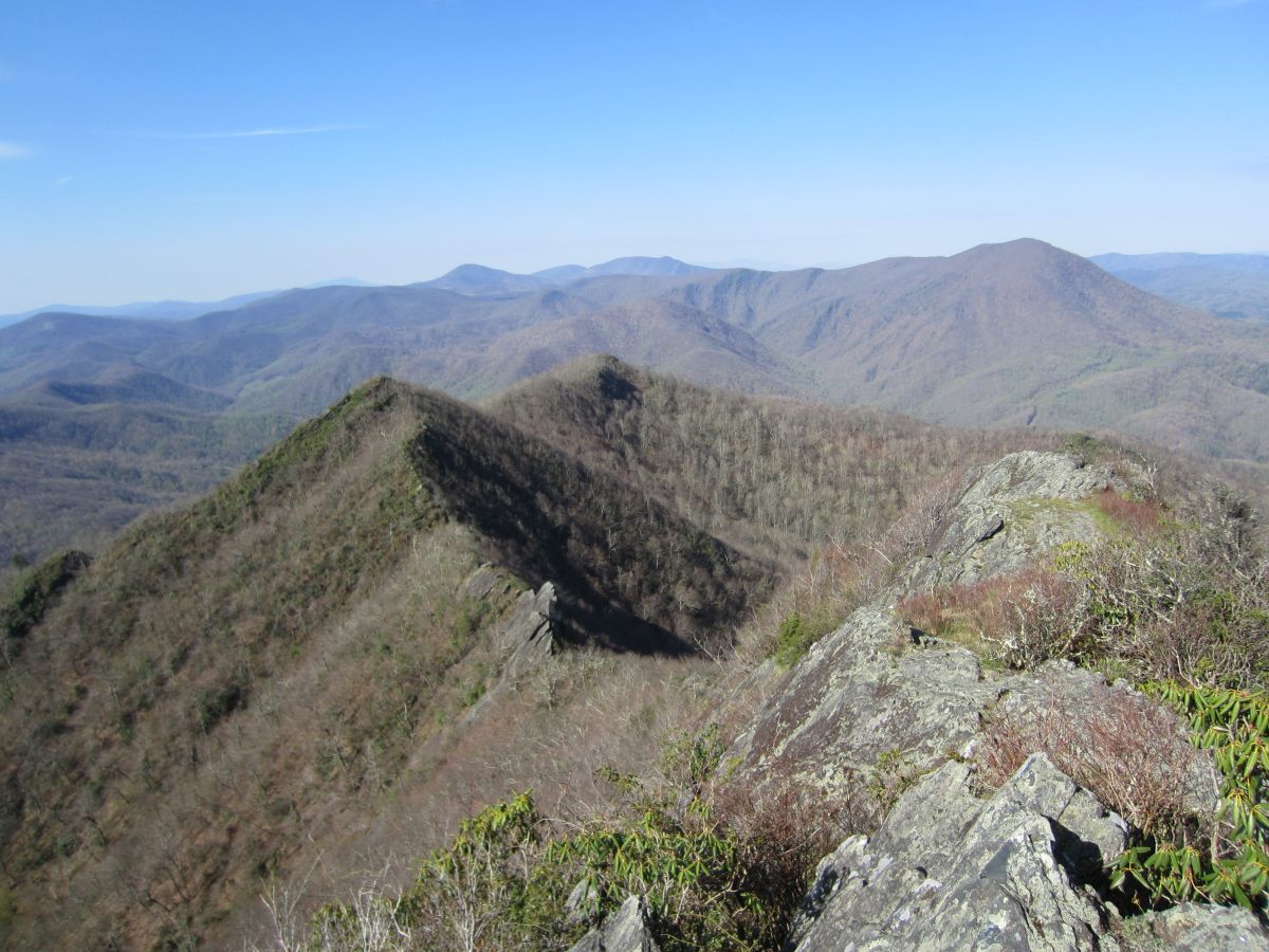 | 1,200 × 900 (206 KB) | Tndude (talk | contribs) | Pretty much the entire Amphibolite Range north of Boone is visible here plus the Roan Highlands and Grandfather Mountain. |
You cannot overwrite this file.
File usage
The following page uses this file: