Uploads by Tim
Jump to navigation
Jump to search
This special page shows all uploaded files.
| Date | Name | Thumbnail | Size | Description | Versions |
|---|---|---|---|---|---|
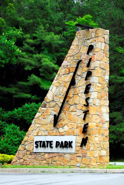
| 09:06, 25 June 2023 | Pipestem Entrance.jpg (file) |  |
96 KB | 1 | |
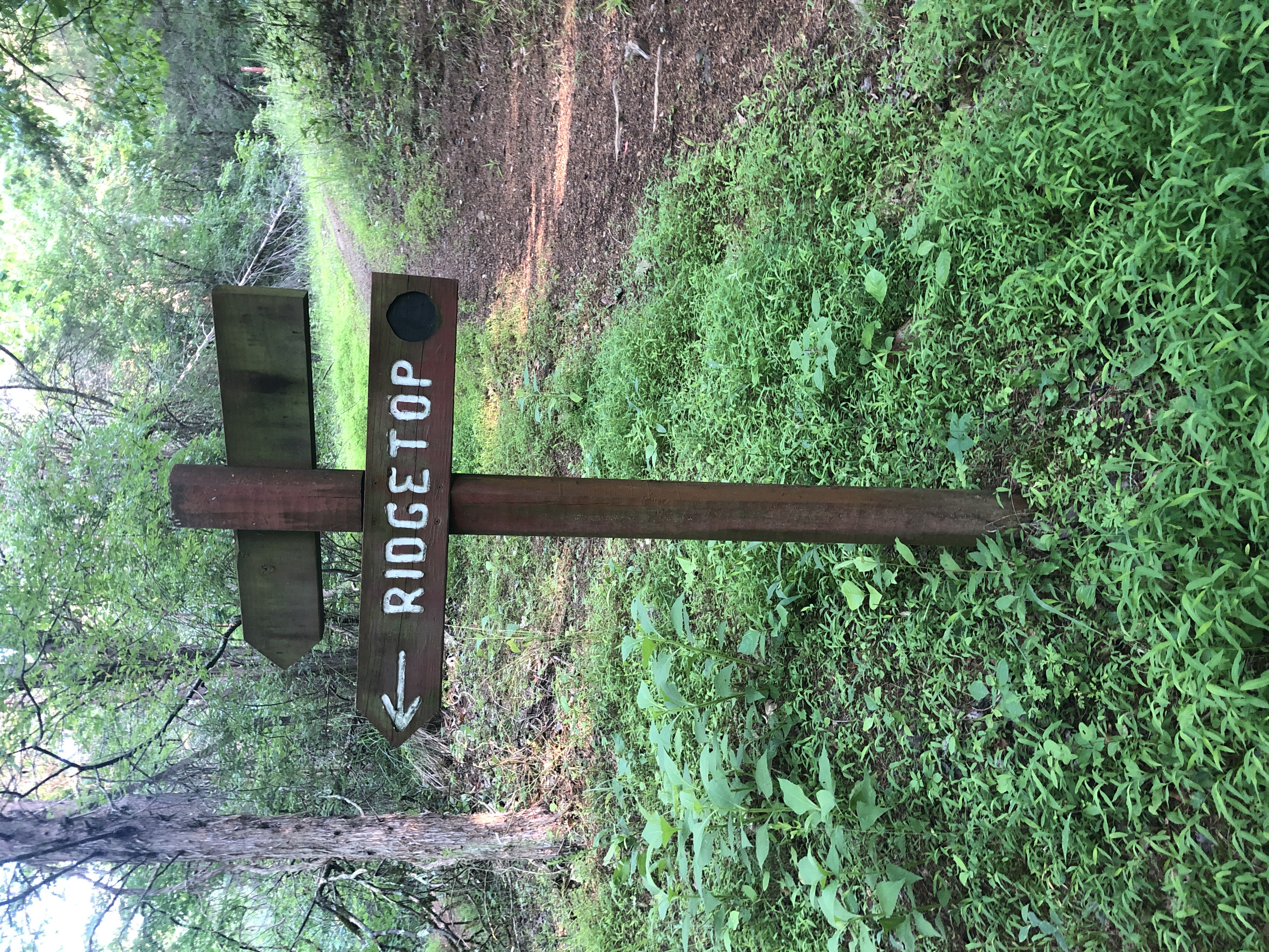
| 10:54, 24 June 2023 | WPSP Ridgetop Sign.JPG (file) |  |
5.24 MB | 1 | |
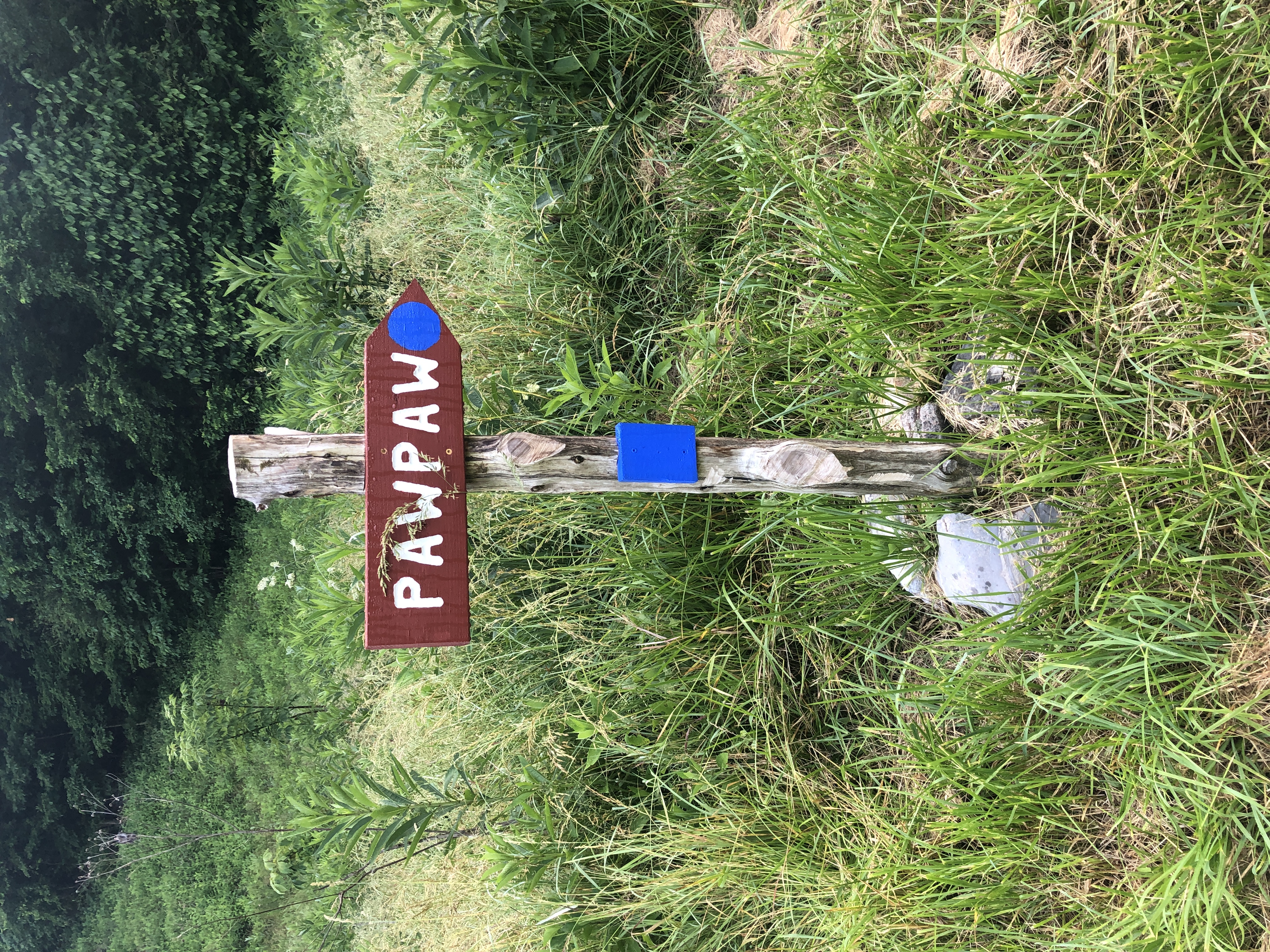
| 10:50, 24 June 2023 | WPSP Pawpaw sign.JPG (file) |  |
6.43 MB | 1 | |
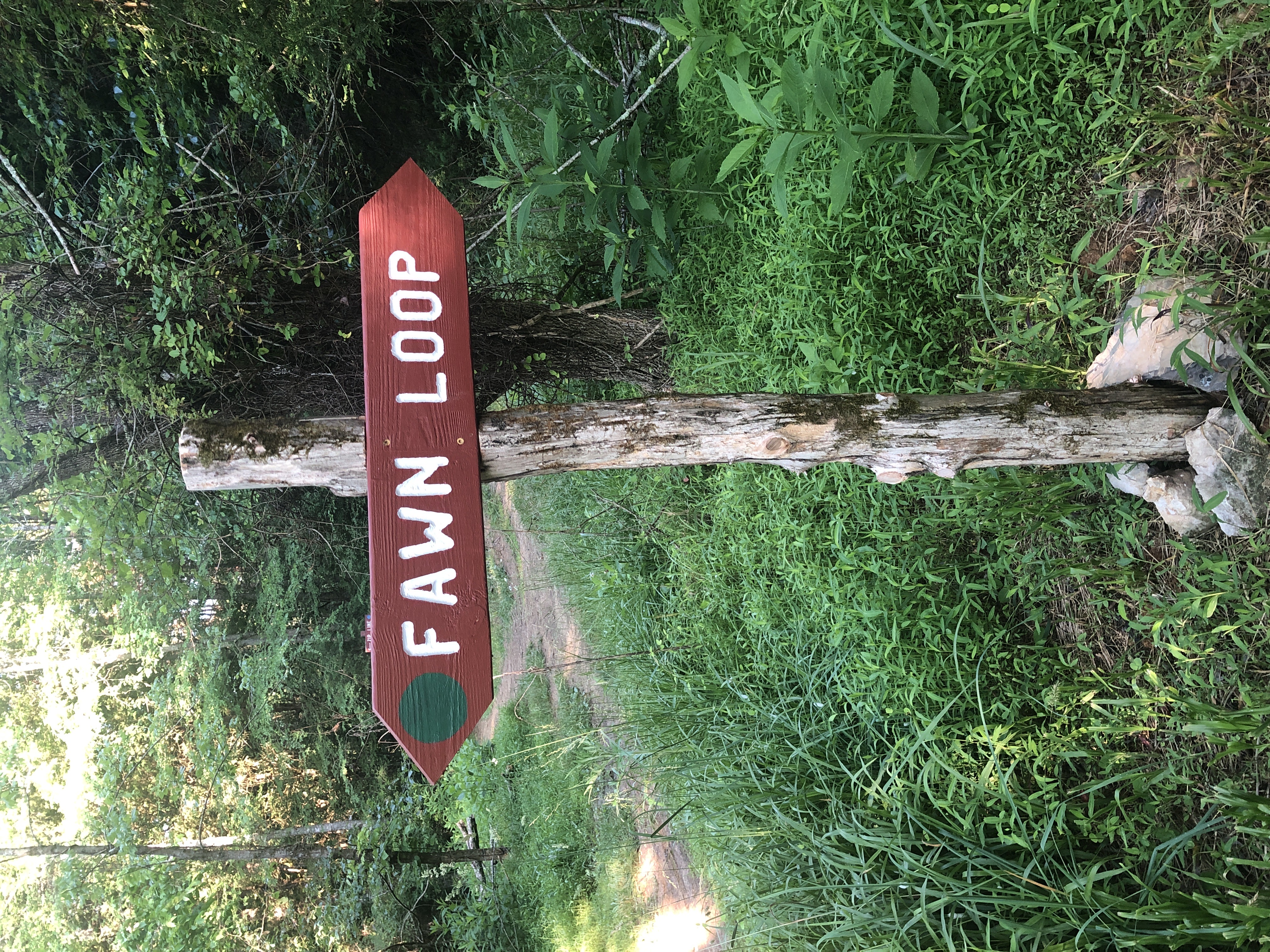
| 10:47, 24 June 2023 | WPSP Fawn Loop Sign.JPG (file) |  |
5.34 MB | 1 | |
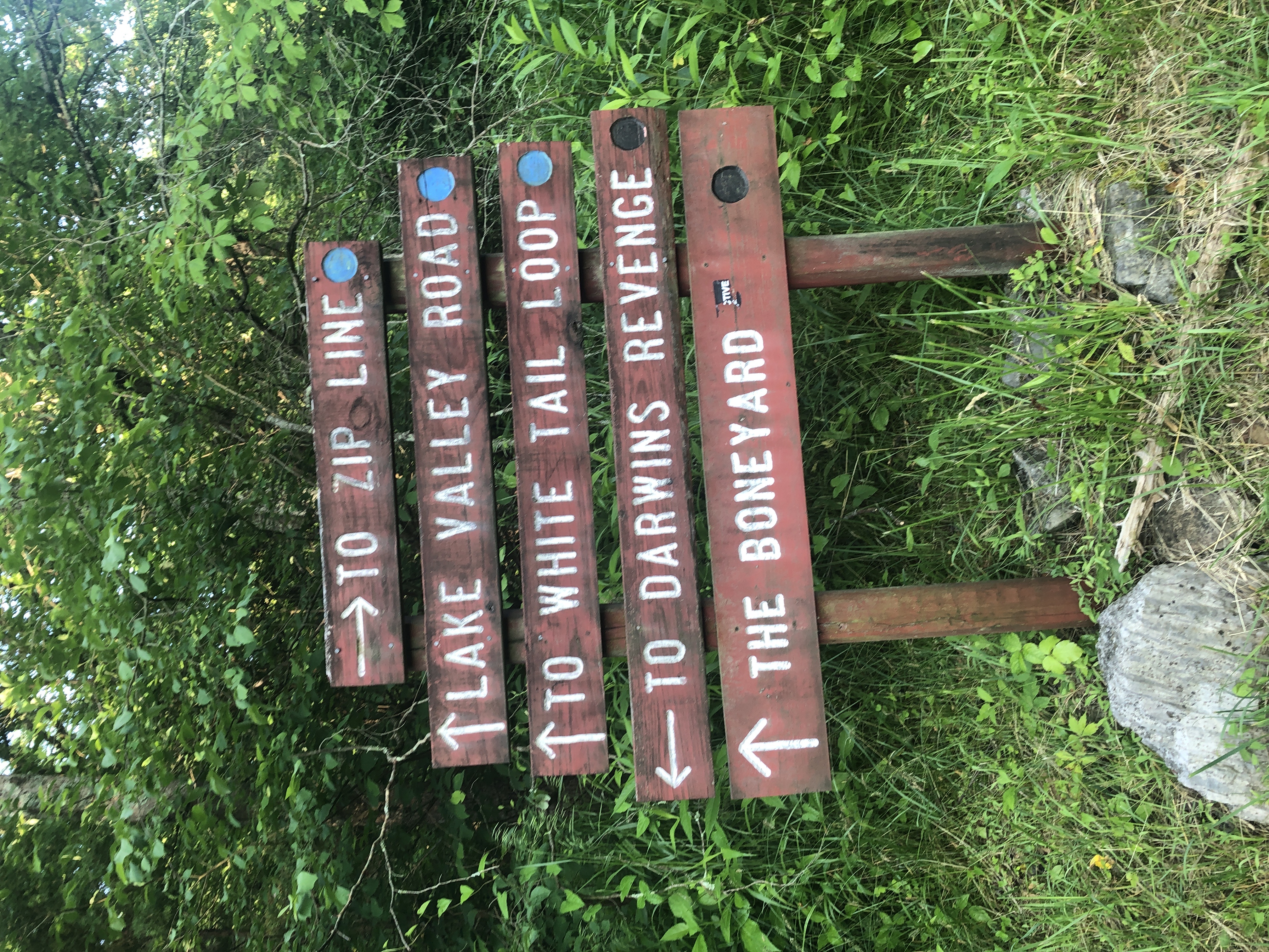
| 10:44, 24 June 2023 | WPSP Main Split signs.JPG (file) |  |
4.76 MB | 1 | |
| 10:33, 24 June 2023 | Boneyard.kml (file) | 11 KB | 3 | ||
| 09:45, 8 January 2023 | The Channels Natural Area Preserve.kml (file) | 43 KB | 1 | ||
| 21:50, 19 September 2021 | Tower Ridge Trail.kml (file) | 5 KB | 1 | ||
| 21:31, 19 September 2021 | White Rock Trail.kml (file) | 14 KB | 1 | ||
| 20:55, 19 September 2021 | The Noggin Trail.kml (file) | 3 KB | 1 | ||
| 20:21, 19 September 2021 | Hartsell Hollow Trail.kml (file) | 2 KB | 1 | ||
| 15:24, 19 September 2021 | Fork Ridge Trail.kml (file) | 4 KB | 1 | ||
| 15:14, 19 September 2021 | Fork Knob Trail.kml (file) | 5 KB | 1 | ||
| 12:58, 19 September 2021 | Cascade Trail.kml (file) | 11 KB | 1 | ||
| 12:50, 19 September 2021 | High Ridge Trail.kml (file) | 3 KB | 1 | ||
| 12:33, 19 September 2021 | Lone Oak Trail.kml (file) | 9 KB | 1 | ||
| 10:34, 19 September 2021 | Wahoo.kml (file) | 12 KB | change track color for visibility (was white, now orange) | 2 | |
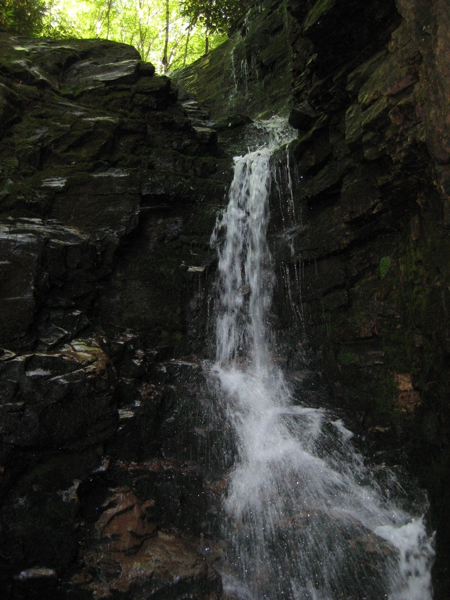
| 10:06, 19 September 2021 | Rock Creek Falls.jpg (file) |  |
420 KB | Rotate! | 2 |
| 09:32, 19 September 2021 | Rock Creek Falls.kml (file) | 4 KB | 1 | ||
| 12:14, 11 July 2021 | Laurel Run Trail.kml (file) | 6 KB | Added overlook trail courtesy of Vic Hasler. This was specifically to change the overlook trail color to not conflict with Pretty Ridge Trail KML color. | 3 | |
| 21:28, 17 May 2021 | Indian Pipes Trail-20210516172429.kml (file) | 11 KB | 4 | ||
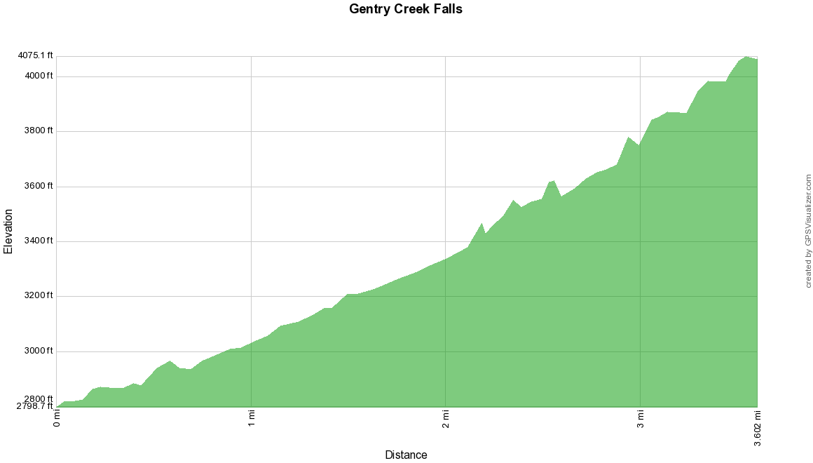
| 22:31, 10 May 2021 | Gentry Creek Falls profile.png (file) |  |
22 KB | 1 | |
| 22:29, 10 May 2021 | Gentry Creek Falls.kml (file) | 3 KB | 1 | ||
| 21:54, 21 January 2021 | Laurel Fork Gorge-20210122024146.kml (file) | 31 KB | 1 | ||
| 11:41, 17 January 2021 | Edgar Evins State Park.kml (file) | 403 KB | 1 | ||
| 11:27, 17 January 2021 | Cumberland Mountain State Park.kml (file) | 585 KB | 1 | ||
| 11:01, 17 January 2021 | Pickett CCC Memorial State Park.kml (file) | 19 KB | 1 | ||
| 10:38, 17 January 2021 | Tent only icon.png (file) | 6 KB | Signifies there are campground (i.e. not backcountry) campsites that do not allow RV's and camper trailers | 1 | |
| 10:08, 17 January 2021 | Norris Dam State Park.kml (file) | 50 KB | 1 | ||
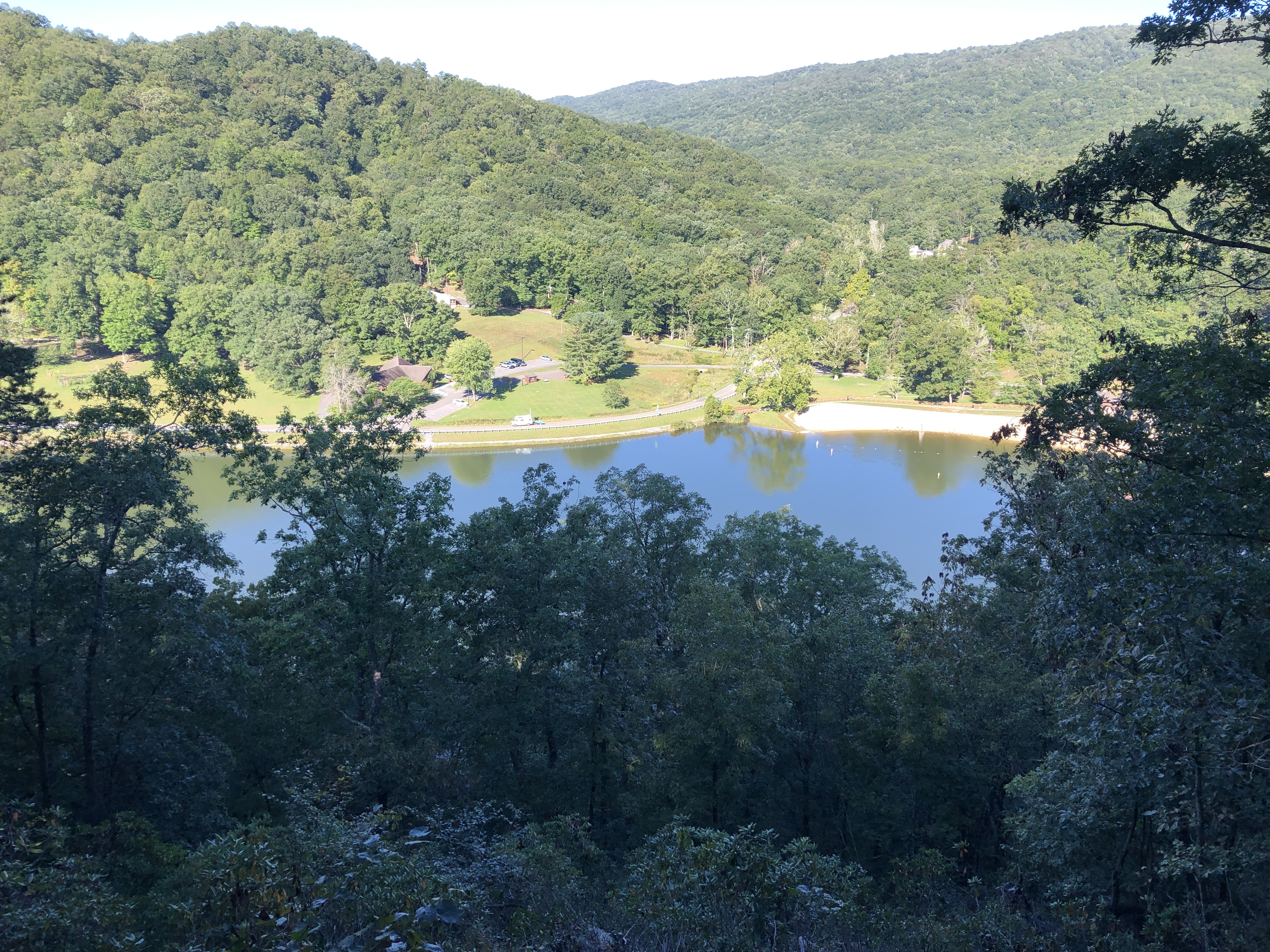
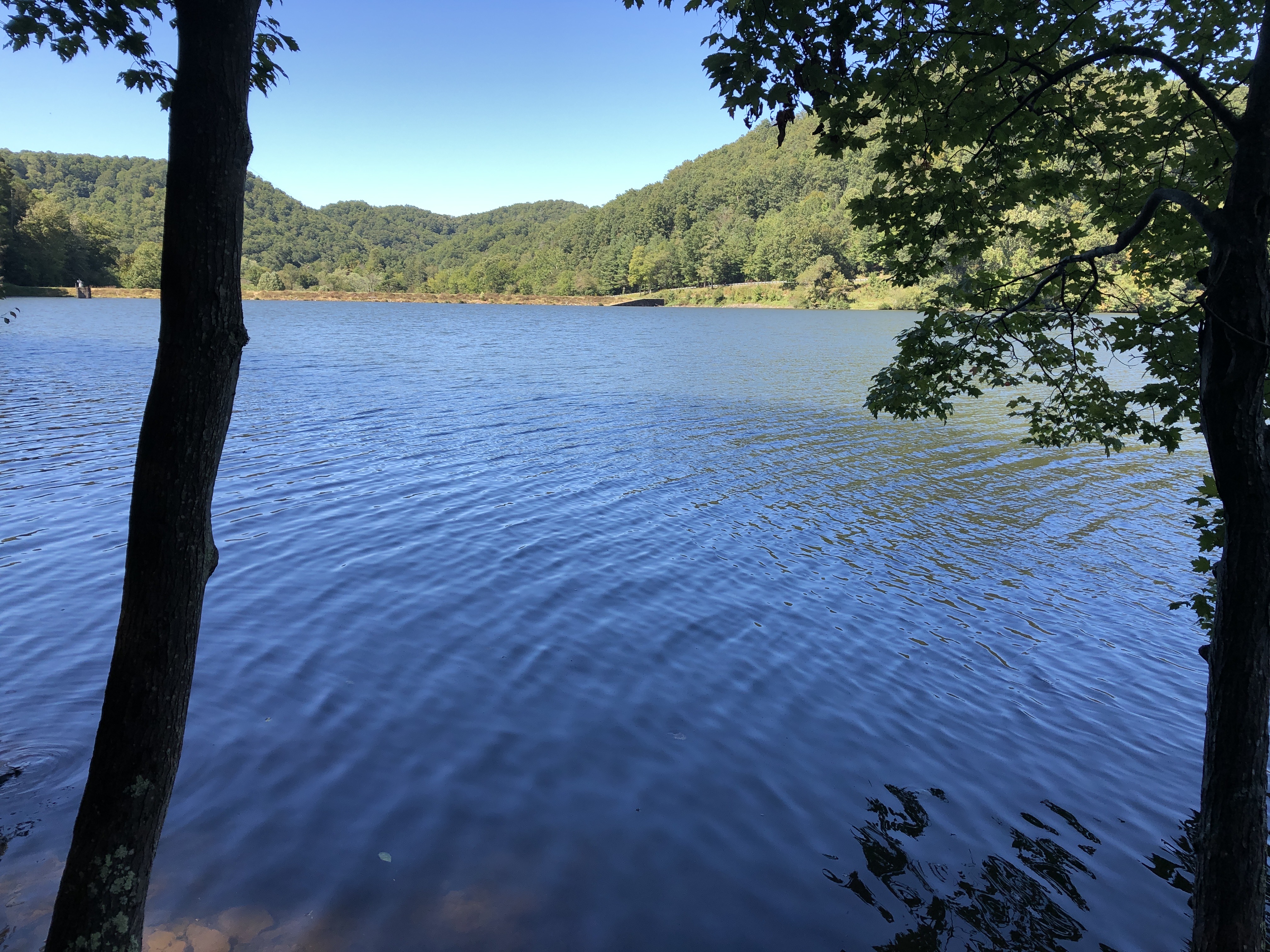
| 09:53, 23 September 2020 | High view of Hungry Mother Lake.jpg (file) |  |
4.79 MB | 1 | |
| 09:50, 23 September 2020 | Hungry Mother Lake.jpg (file) |  |
3.53 MB | 1 | |
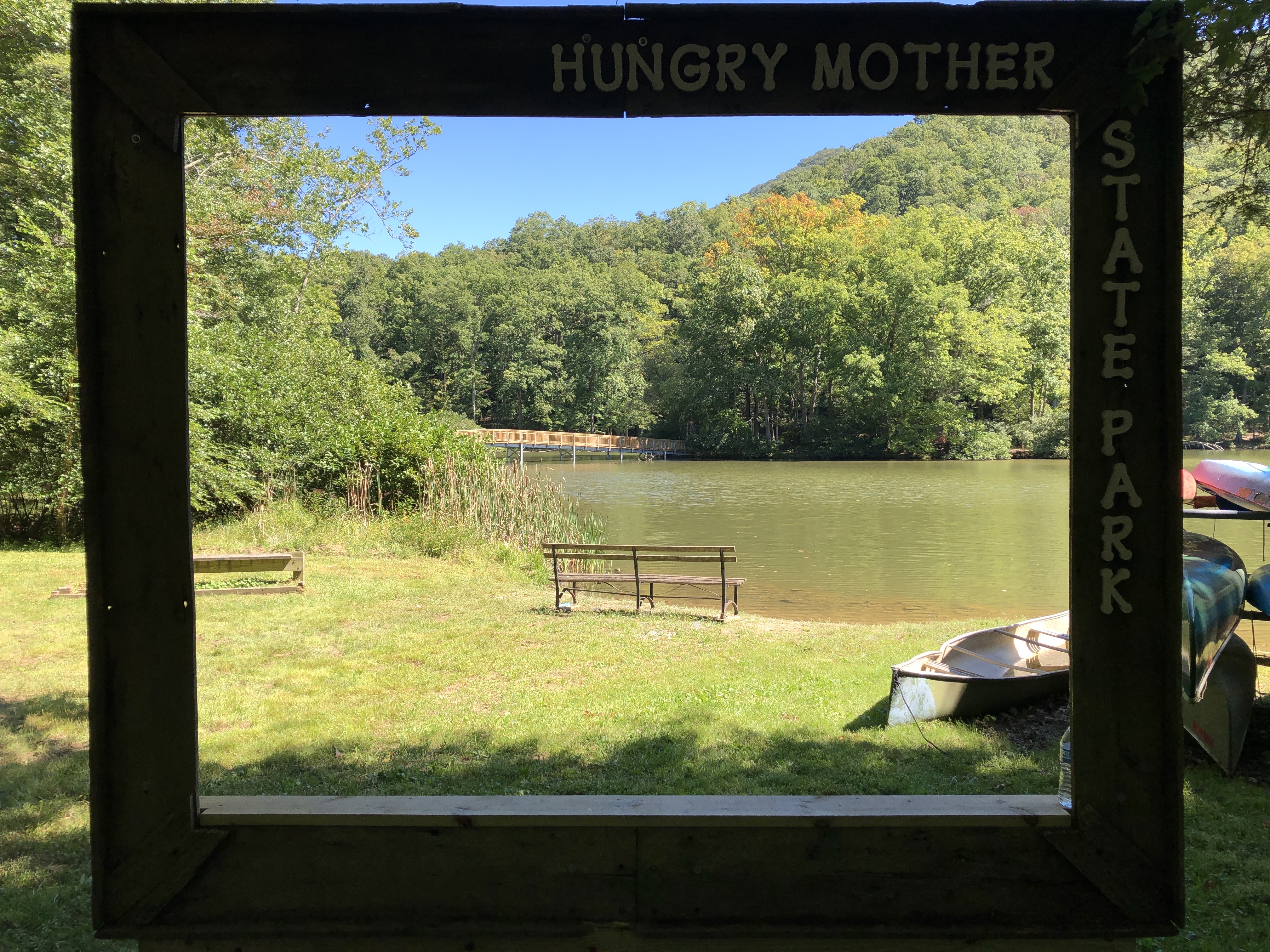
| 09:43, 23 September 2020 | Hungry Mother photo spot.jpg (file) |  |
4.04 MB | 1 | |
| 08:21, 22 September 2020 | Vista Trail-20200922131830.kml (file) | 46 KB | 1 | ||
| 08:16, 22 September 2020 | CCC Trail.kml (file) | 9 KB | 1 | ||
| 07:18, 22 September 2020 | Lake Trail Loop.kml (file) | 25 KB | 1 | ||
| 09:41, 21 September 2020 | Raider's Run Trail-20200921143810.kml (file) | 11 KB | 1 | ||
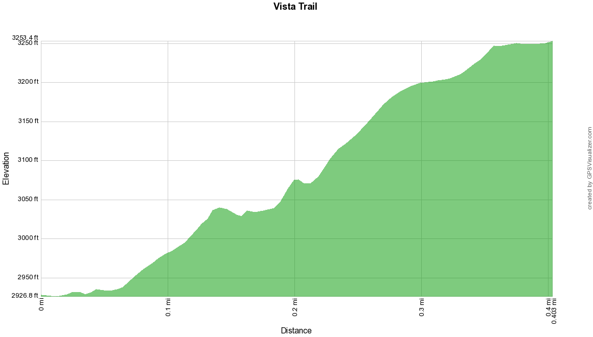
| 09:35, 21 September 2020 | Vista trail profile.png (file) |  |
21 KB | 1 | |
| 09:31, 21 September 2020 | Vista Trail.kml (file) | 5 KB | Reverse direction (to show climb up) | 2 | |
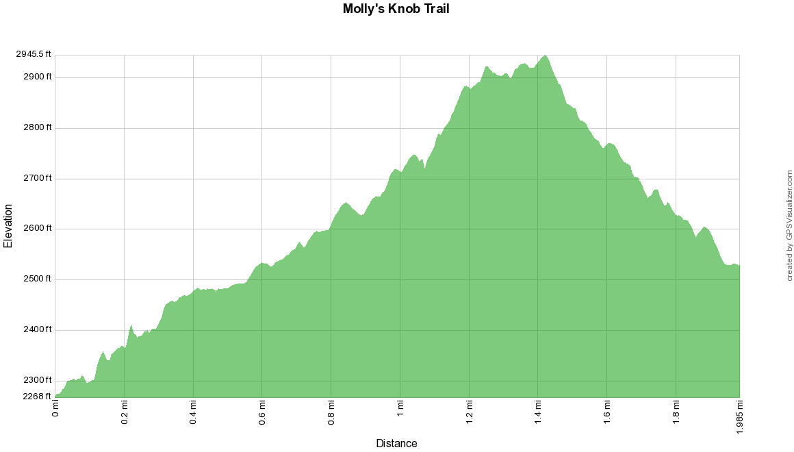
| 09:06, 21 September 2020 | Molly's knob trail profile.png (file) |  |
24 KB | 1 | |
| 09:06, 21 September 2020 | Molly's Knob Trail.kml (file) | 14 KB | cleanup a knot at the viewing platform | 2 | |
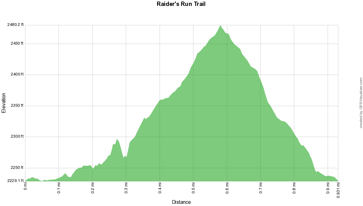
| 21:52, 20 September 2020 | Raider's run trail profile.png (file) |  |
23 KB | 1 | |
| 21:46, 20 September 2020 | Raider's Run Trail.kml (file) | 6 KB | 1 | ||
| 21:33, 20 September 2020 | Old Shawnee Trail.kml (file) | 13 KB | 1 | ||
| 07:01, 29 August 2020 | Cabin Creek Trail-20200829115812.kml (file) | 22 KB | 1 | ||
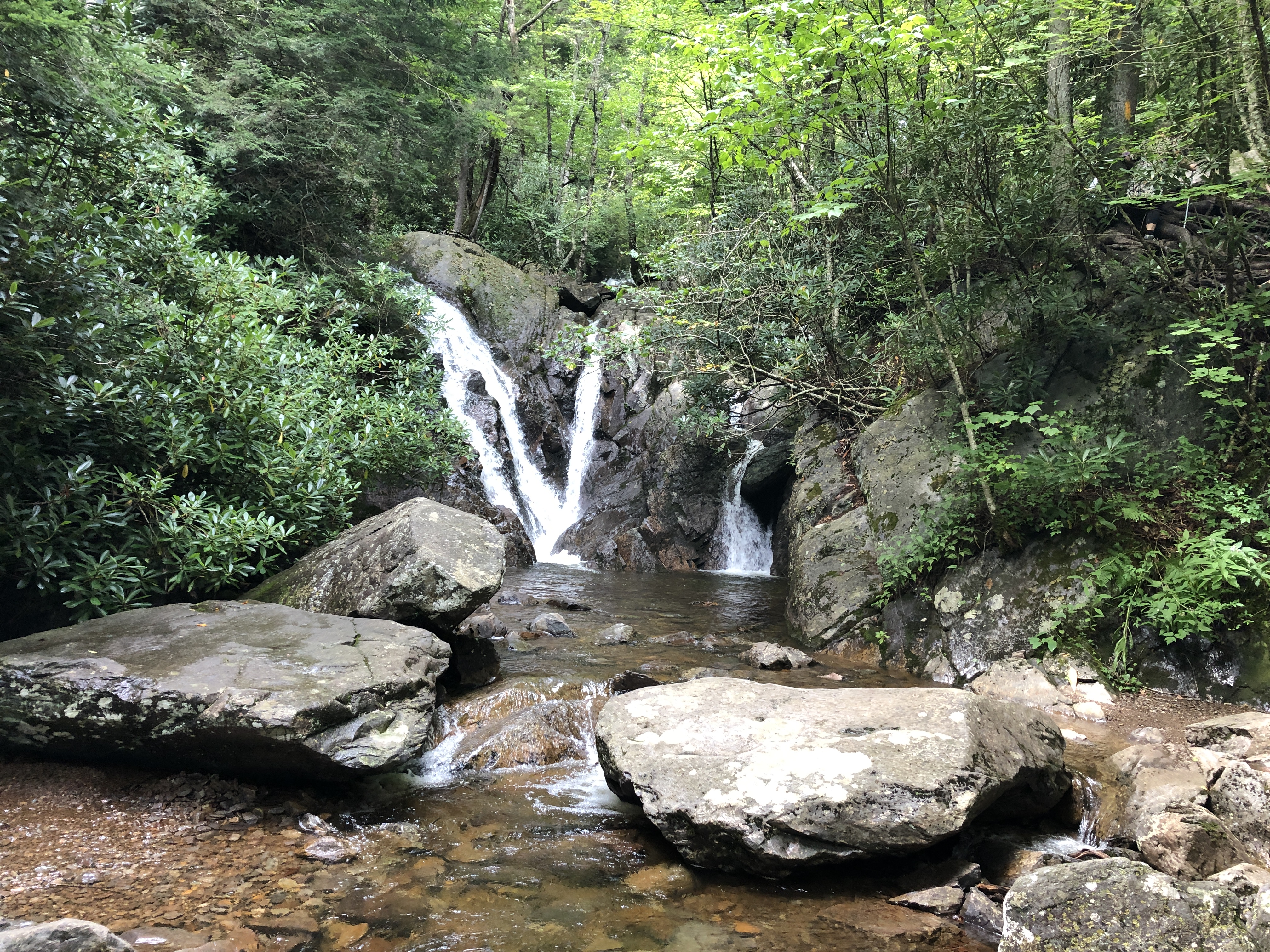
| 06:52, 29 August 2020 | Cabin Creek Falls.jpg (file) |  |
5.53 MB | 1 | |
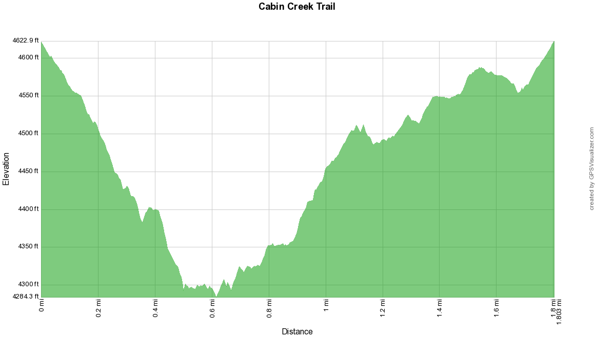
| 06:49, 29 August 2020 | Cabin Creek Trail profile.png (file) |  |
24 KB | 1 | |
| 06:35, 29 August 2020 | Cabin Creek Trail.kml (file) | 12 KB | Fix track name in Google Earth | 2 | |
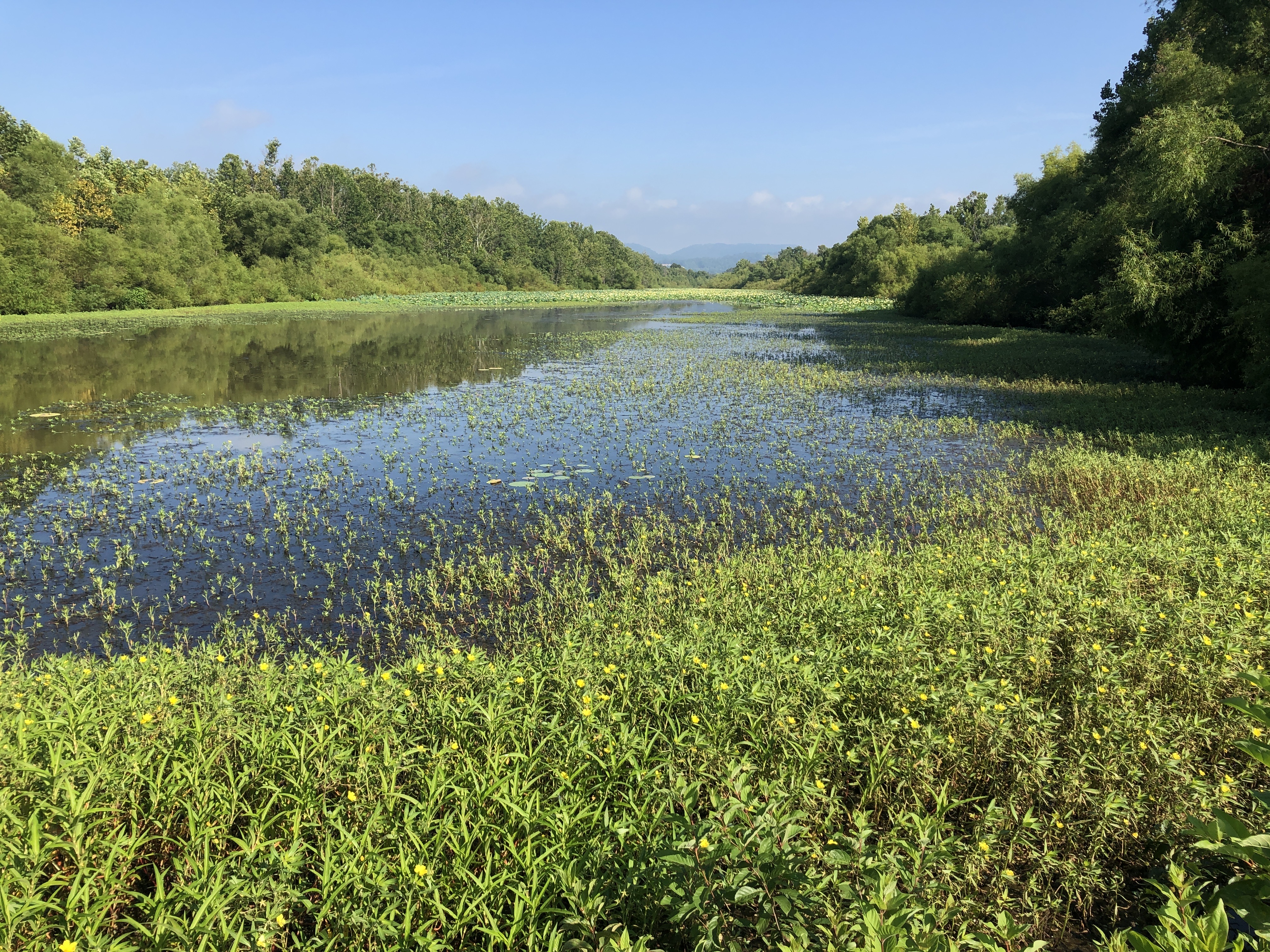
| 09:09, 9 August 2020 | Phipps Bend Lillypad Pond.jpg (file) |  |
5.49 MB | 1 | |
| 07:59, 9 August 2020 | Phipps Bend End of Trail.png (file) |  |
553 KB | 1 | |
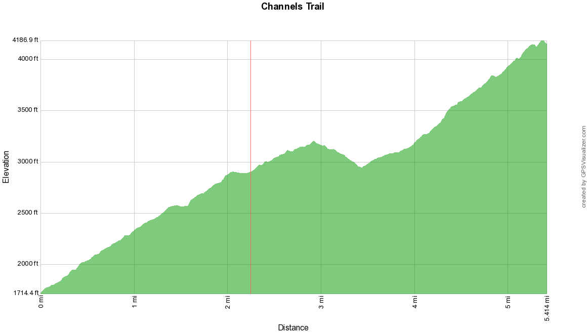
| 17:09, 3 August 2020 | Channels trail profile.png (file) |  |
20 KB | 1 |