Uploads by Trungeto
Jump to navigation
Jump to search
This special page shows all uploaded files.
| Date | Name | Thumbnail | Size | Description | Versions |
|---|---|---|---|---|---|
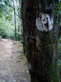
| 09:20, 20 April 2011 | MST Blaze.jpg (file) |  |
20 KB | 1 | |
| 09:26, 20 April 2011 | MST Blaze.JPG (file) |  |
13 KB | 1 | |
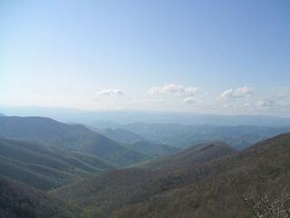
| 08:15, 3 May 2011 | MST-1.jpg (file) |  |
13 KB | 1 | |
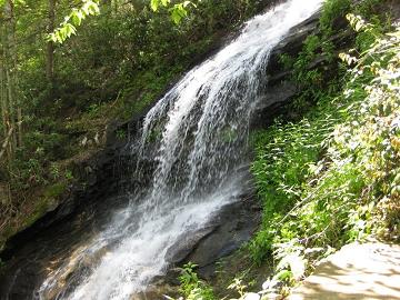
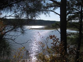
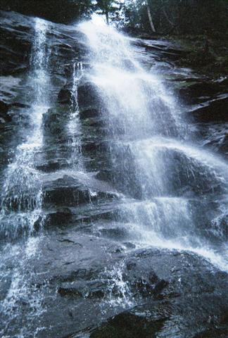
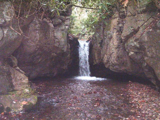
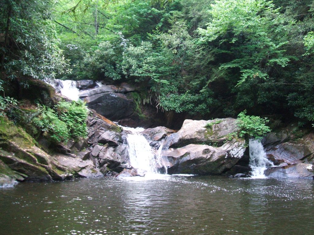
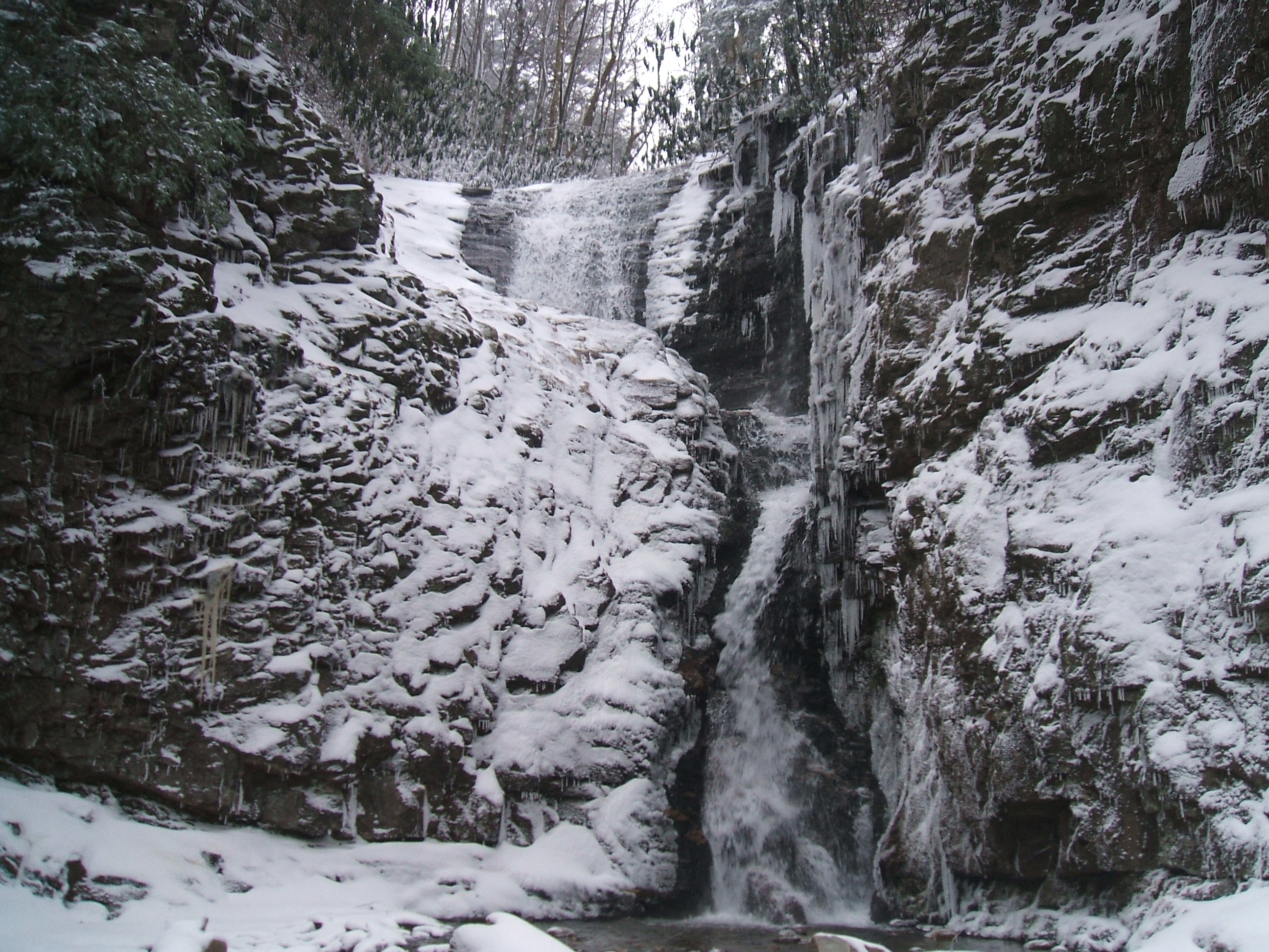
| 08:17, 3 May 2011 | MST-2.jpg (file) |  |
35 KB | Cascade Falls | 1 |
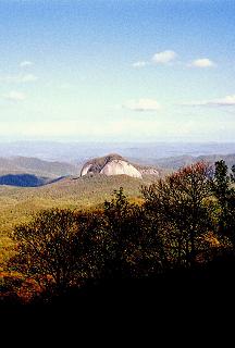
| 08:18, 3 May 2011 | MST-7.JPG (file) |  |
10 KB | View from Craggy Gardens | 1 |
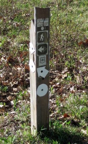
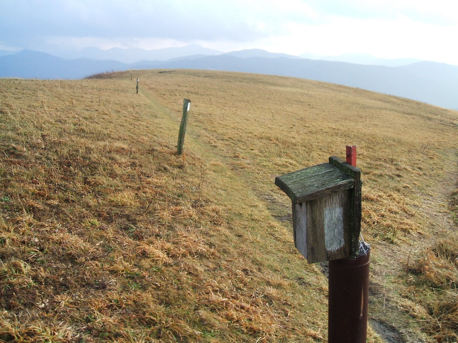
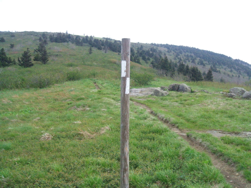
| 11:42, 3 May 2011 | MST Post.jpg (file) |  |
61 KB | Mountains-to-Sea Trail Marker post | 1 |
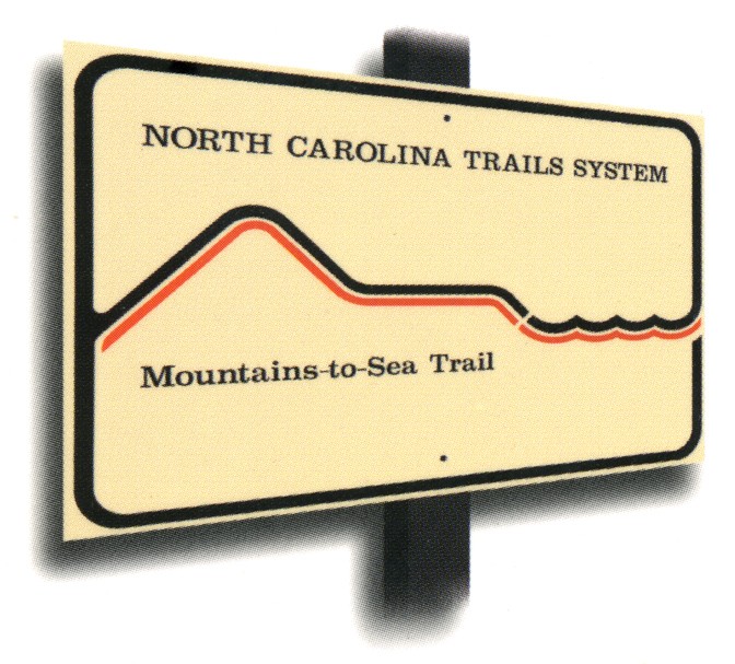
| 11:42, 3 May 2011 | MST Sign.jpg (file) |  |
109 KB | 1 | |
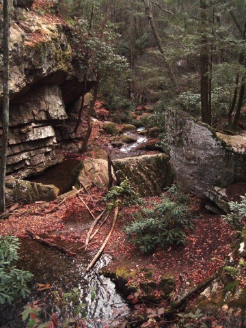
| 14:30, 4 May 2011 | MST-8.JPG (file) |  |
22 KB | Waterfall along Gragg Prong | 1 |
| 14:34, 4 May 2011 | MST-3.jpg (file) |  |
27 KB | 1 | |
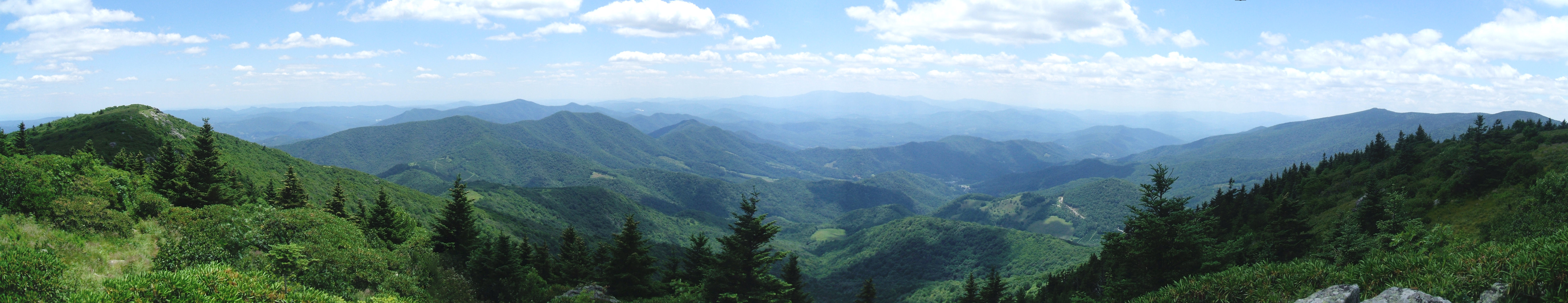
| 08:32, 5 May 2011 | GrassyRidgePano2.jpg (file) | 1.34 MB | 1 | ||
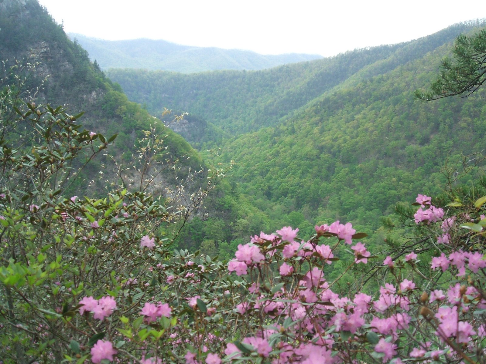
| 14:23, 5 May 2011 | LinvilleGorge.jpg (file) |  |
1.15 MB | View of the Linville River Gorge from the top of Table Rock Mountain. | 1 |
| 14:54, 20 May 2011 | Max Patch.jpg (file) |  |
275 KB | Max Patch Mountain | 1 |
| 15:04, 20 May 2011 | Max Patch2.jpg (file) |  |
484 KB | 1 | |
| 09:08, 23 May 2011 | Sills Branch Falls1.jpg (file) |  |
58 KB | Sills Branch Falls | 1 |
| 09:09, 23 May 2011 | Sills Branch Falls2.jpg (file) |  |
37 KB | Sills Branch Falls | 1 |
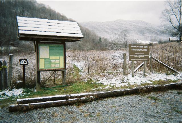
| 09:10, 23 May 2011 | OMVT1.jpg (file) |  |
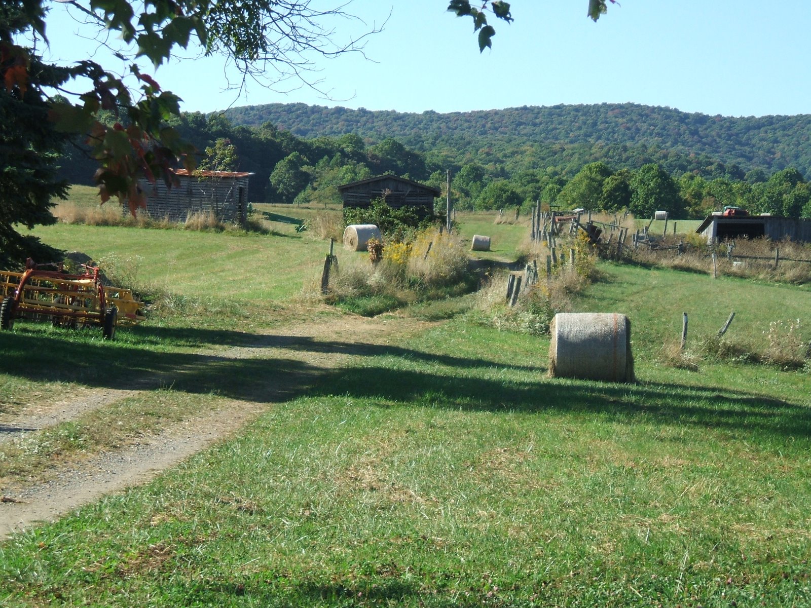
66 KB | Overmountain Victory Trail @ Hampton Creek Cove Farmstead. | 1 |
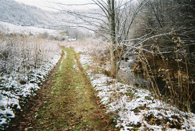
| 09:10, 23 May 2011 | OMVT2.jpg (file) |  |
84 KB | 1 | |
| 09:11, 23 May 2011 | Blue Hole2.jpg (file) |  |
74 KB | Blue Hole Falls | 1 |
| 09:12, 23 May 2011 | Blue Hole1.jpg (file) |  |
28 KB | 1 | |
| 09:12, 23 May 2011 | Elk Park Big Falls1.JPG (file) |  |
70 KB | 1 | |
| 12:39, 24 May 2011 | WhiteRocksMountain.jpg (file) |  |
181 KB | 1 | |
| 12:40, 24 May 2011 | BlueHole3.jpg (file) |  |
84 KB | 1 | |
| 12:41, 24 May 2011 | MtRogersSign.jpg (file) |  |
580 KB | Th old Mt. Rogers sign indicating the TN/VA border. | 1 |
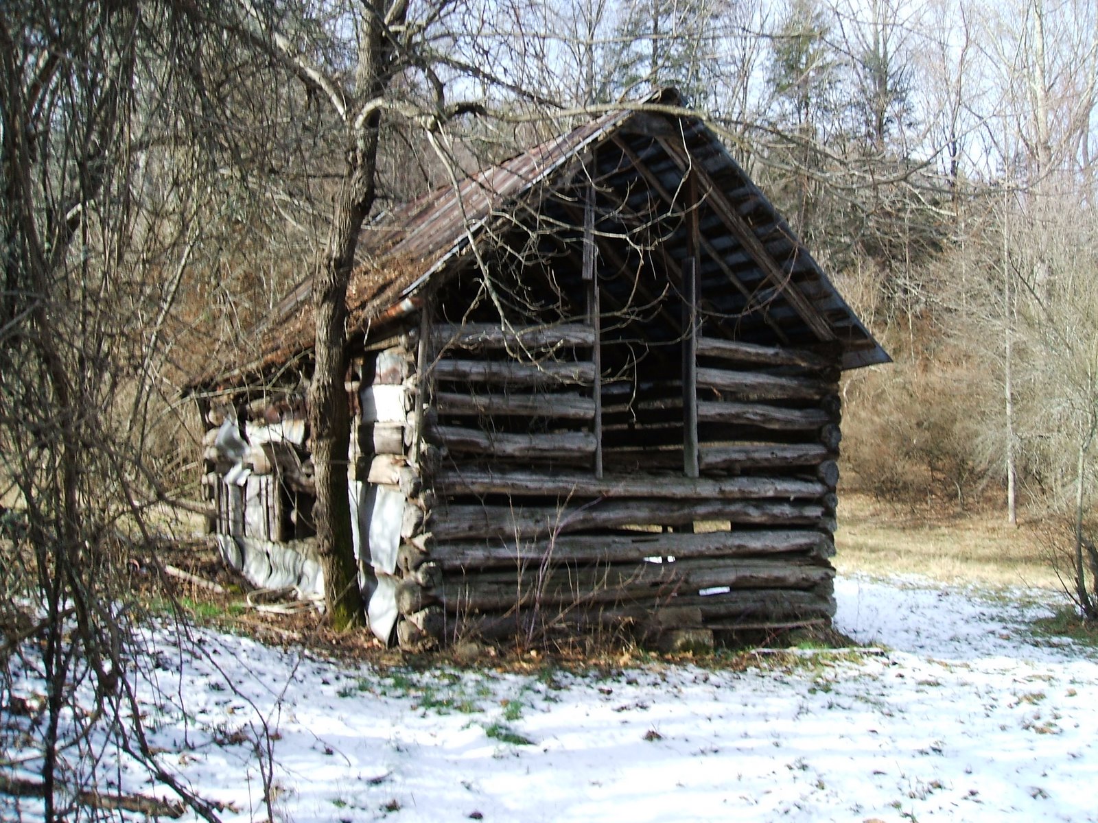
| 12:42, 24 May 2011 | DennisCoveBarn.jpg (file) |  |
523 KB | 1 | |
| 12:44, 24 May 2011 | PotatoTop.jpg (file) |  |
419 KB | 1 | |
| 15:17, 24 May 2011 | FrogLevel.jpg (file) |  |
192 KB | 1 | |
| 15:19, 24 May 2011 | DennisCoveFalls.jpg (file) |  |
215 KB | Dennis Cove Falls along the Laurel Fork Trail. | 1 |
| 12:29, 27 May 2011 | OvermountainBarnShelter.jpg (file) |  |
247 KB | 1 | |
| 12:30, 27 May 2011 | TheBarnShelter.jpg (file) |  |
137 KB | 1 | |
| 12:30, 27 May 2011 | HumpMtn.jpg (file) |  |
368 KB | 1 | |
| 12:31, 27 May 2011 | HumpMtn2.jpg (file) |  |
371 KB | 1 | |
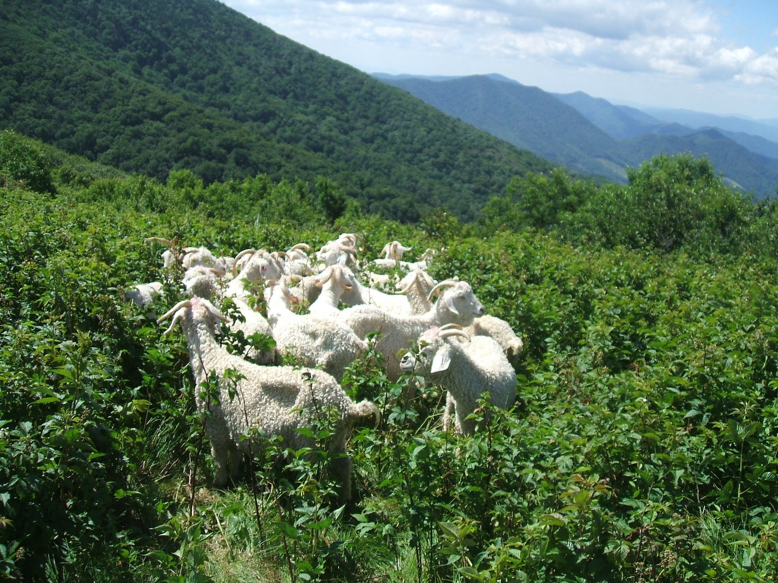
| 12:32, 27 May 2011 | Goats.jpg (file) |  |
534 KB | 1 | |
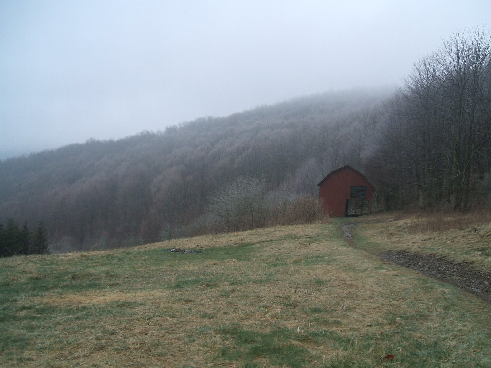
| 09:08, 31 May 2011 | BarnInFog.jpg (file) |  |
279 KB | 1 | |
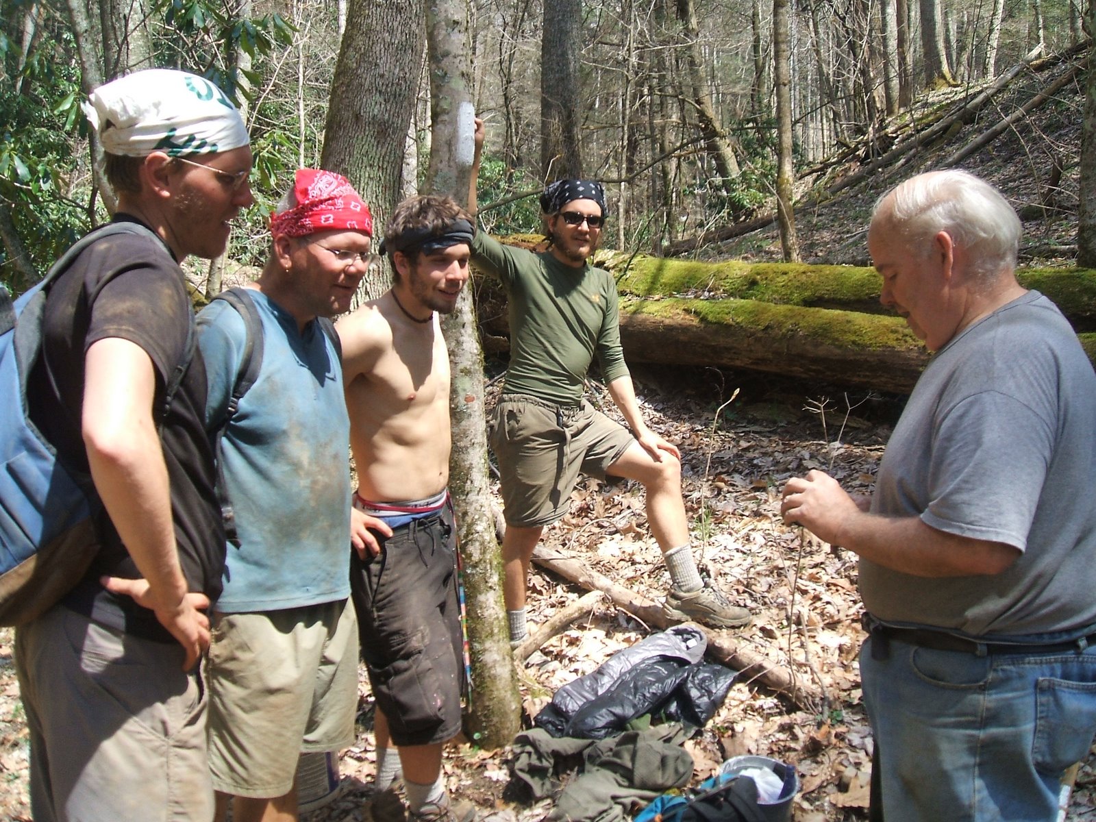
| 09:09, 31 May 2011 | EdAndHikers.jpg (file) |  |
514 KB | 1 | |
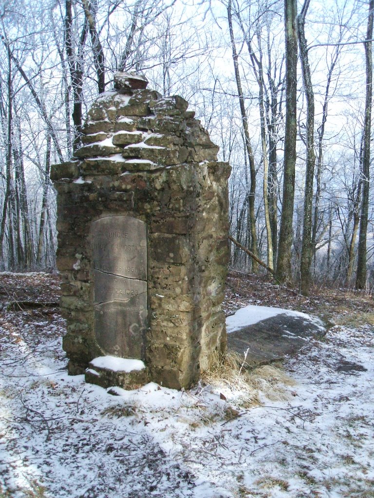
| 09:09, 31 May 2011 | NickGrindstaff.jpg (file) |  |
287 KB | 1 | |
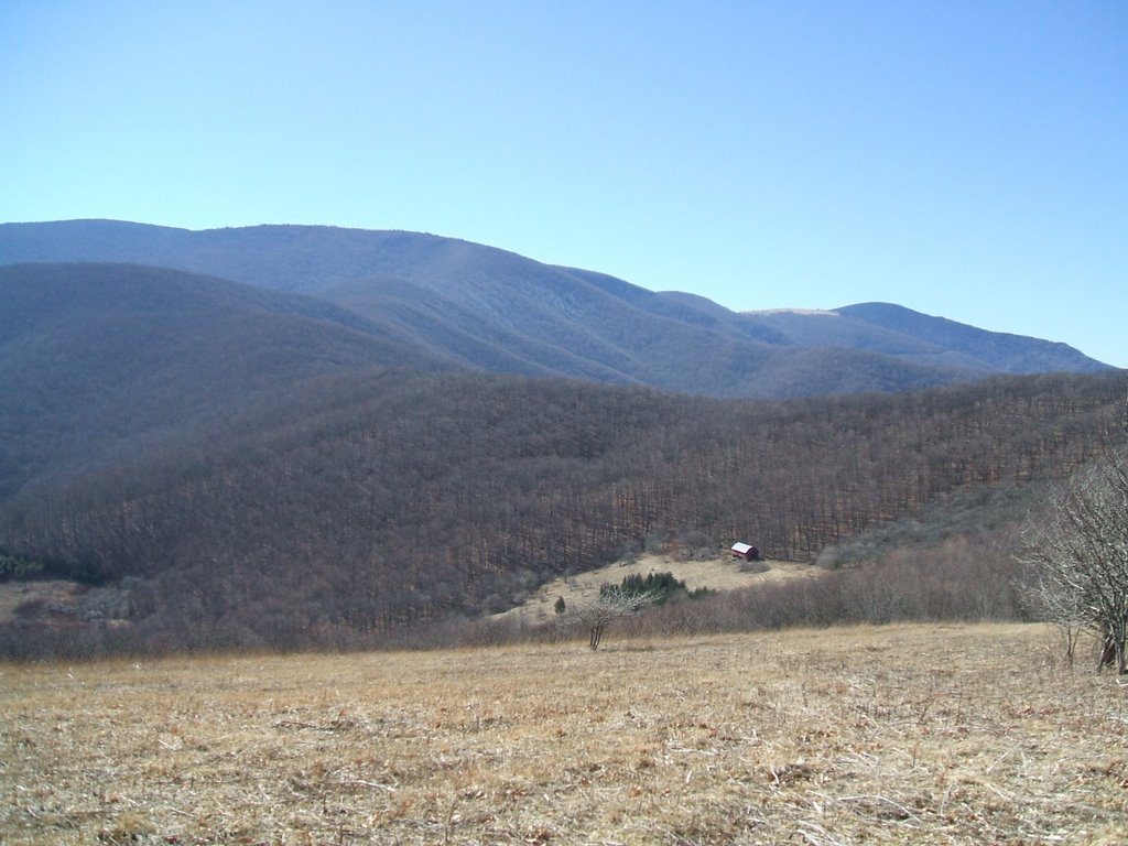
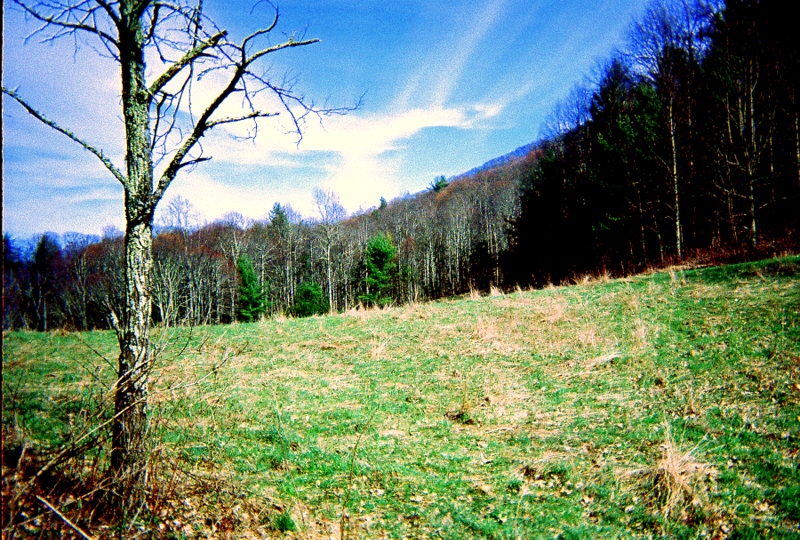
| 09:10, 31 May 2011 | DeepGap.jpg (file) |  |
255 KB | View of Unaka Mtn from the top of Deep Gap. | 1 |
| 09:12, 31 May 2011 | OsborneTract.jpg (file) |  |
542 KB | Osborne Tract | 1 |
| 21:34, 27 June 2011 | CanutePlace.jpg (file) |  |
414 KB | 1 | |
| 21:35, 27 June 2011 | MaintainersToGrassyRidge.jpg (file) |  |
273 KB | 1 | |
| 21:35, 27 June 2011 | GrassyRidgeSplit.jpg (file) |  |
291 KB | 1 | |
| 21:36, 27 June 2011 | HardcoreOverlook.jpg (file) |  |
273 KB | 1 | |
| 21:37, 27 June 2011 | RockCreekFalls.jpg (file) |  |
2.55 MB | 1 | |
| 21:38, 27 June 2011 | RoanHighKnobShelter.jpg (file) |  |
310 KB | 1 | |
| 21:39, 27 June 2011 | RoanHighKnobMarker.jpg (file) |  |
274 KB | 1 | |
| 21:39, 27 June 2011 | KonnarockOnLittleHump.jpg (file) |  |
307 KB | 1 | |
| 21:40, 27 June 2011 | Konnarock UnakaRelo.jpg (file) |  |
284 KB | 1 | |
| 21:42, 27 June 2011 | Grindstaff.jpg (file) |  |
312 KB | 1 | |
| 21:43, 27 June 2011 | EdWithPatches.jpg (file) |  |
313 KB | 1 | |
| 21:45, 27 June 2011 | OverhangingRock.jpg (file) |  |
275 KB | 1 | |
| 21:46, 27 June 2011 | OldAppleOrchard.jpg (file) |  |
299 KB | 1 |