Uploads by Tndude
Jump to navigation
Jump to search
This special page shows all uploaded files.
| Date | Name | Thumbnail | Size | Description | Versions |
|---|---|---|---|---|---|
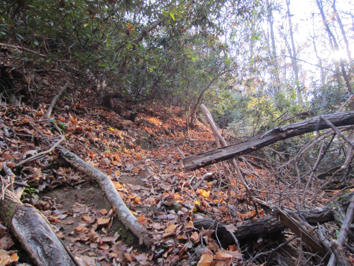
| 10:27, 15 November 2016 | Buffalo Mtn Park Noggin The Trail.jpg (file) |  |
314 KB | Steep trail going up the ridge | 1 |
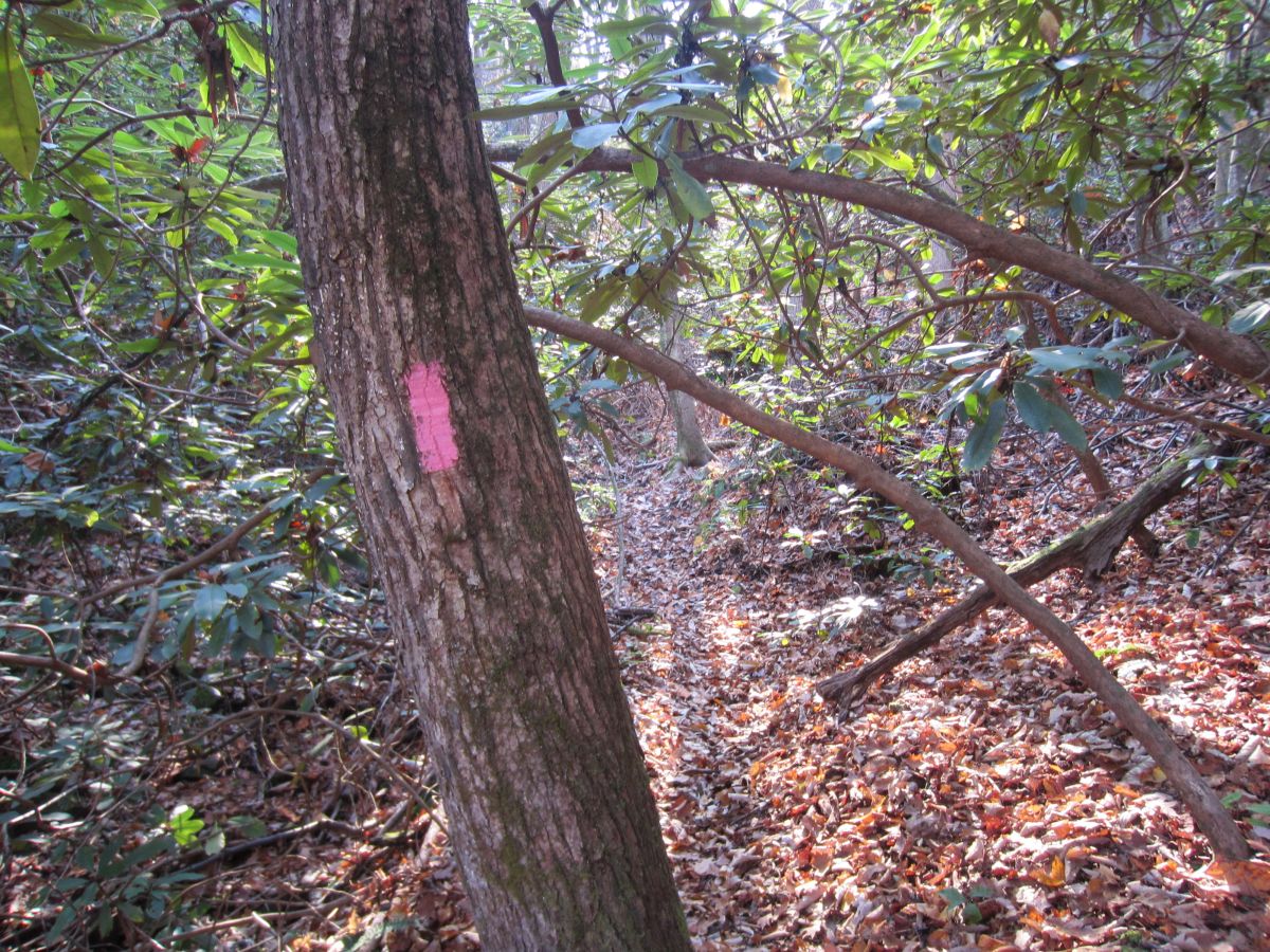
| 10:25, 15 November 2016 | Buffalo Mtn Park Noggin The Blaze.jpg (file) |  |
354 KB | Pink blaze at trailhead on Hartsell Hollow Trail. Very easy to spot. | 1 |
| 15:02, 13 April 2016 | PRD Cold Mountain 03.jpg (file) |  |
152 KB | View from downtown Asheville. The prominent peak on the left is Mount Pisgah. The prominent peak on the right is Cold Mountain. | 1 |
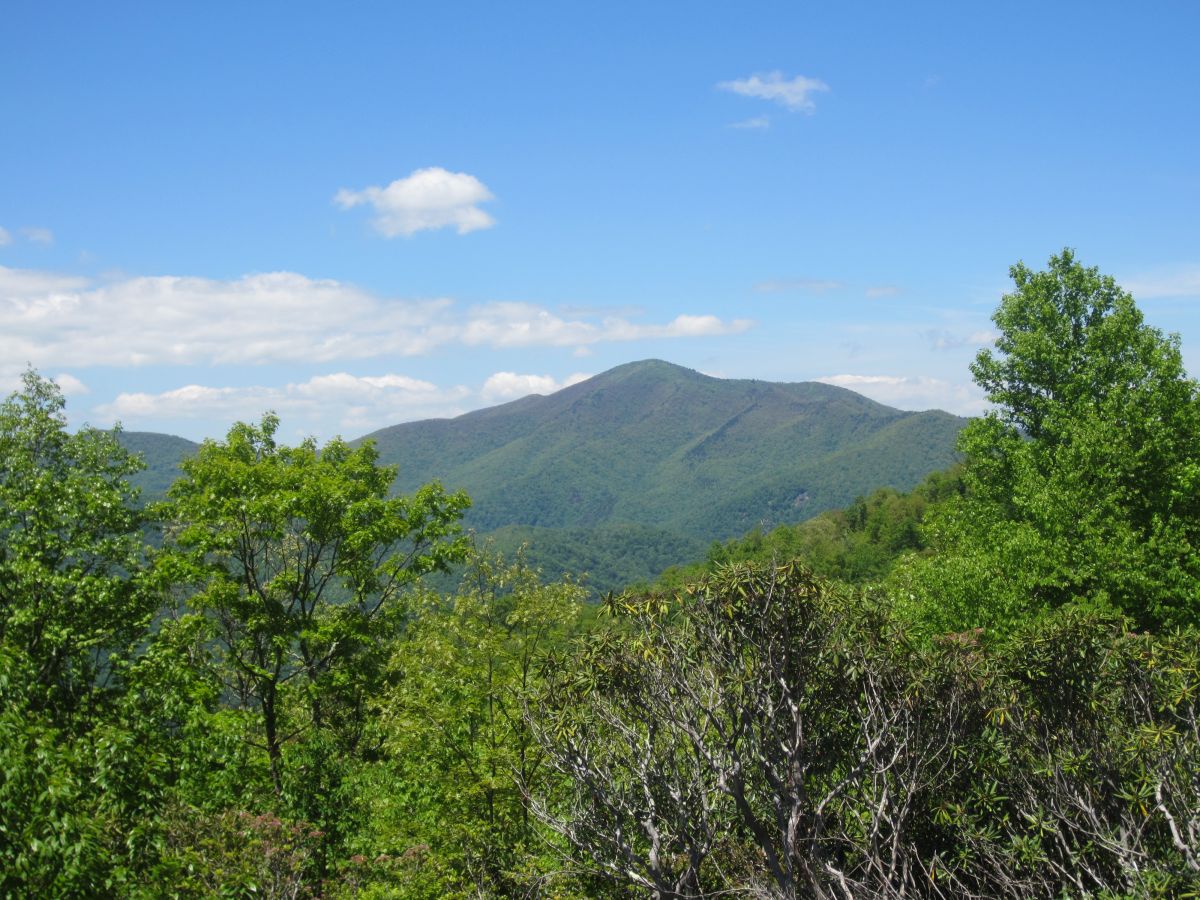
| 15:01, 13 April 2016 | PRD Cold Mountain 02.jpg (file) |  |
243 KB | View of Cold Mountain from the Blue Ridge Parkway at Milepost 412 | 1 |
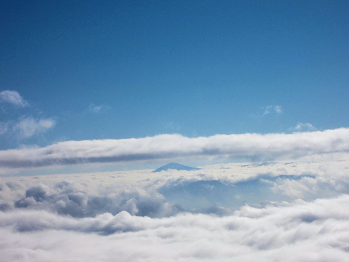
| 14:59, 13 April 2016 | PRD Cold Mountain 01.jpg (file) |  |
92 KB | View of Cold Mountain in the morning fog from Hemphill Bald in the Great Smoky Mountains National Park | 1 |
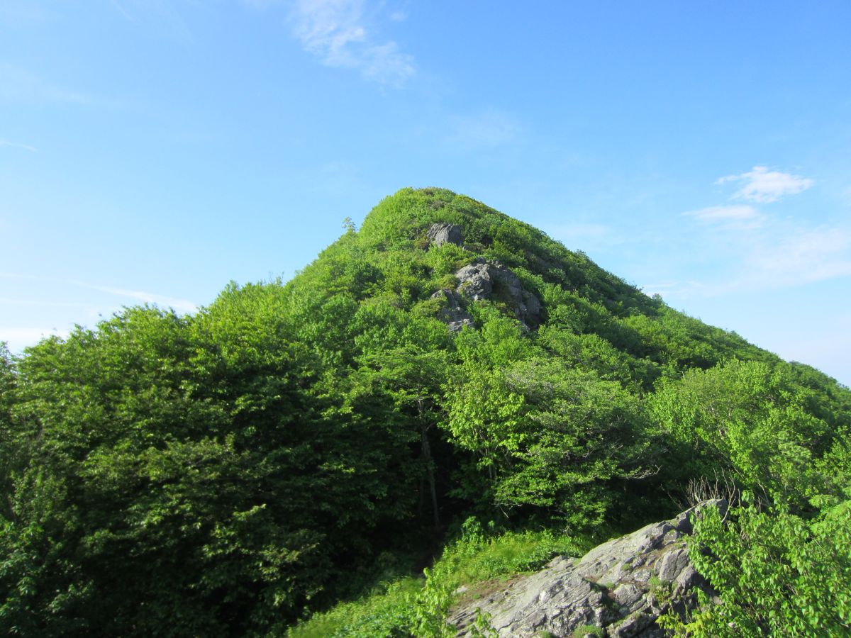
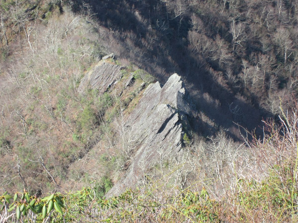
| 14:58, 13 April 2016 | PRD Cold Mountain Rock Formation.jpg (file) |  |
425 KB | Interesting shark looking rock formation along the way | 1 |
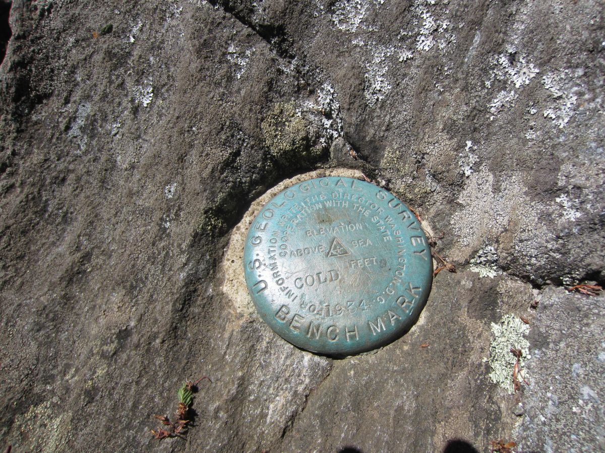
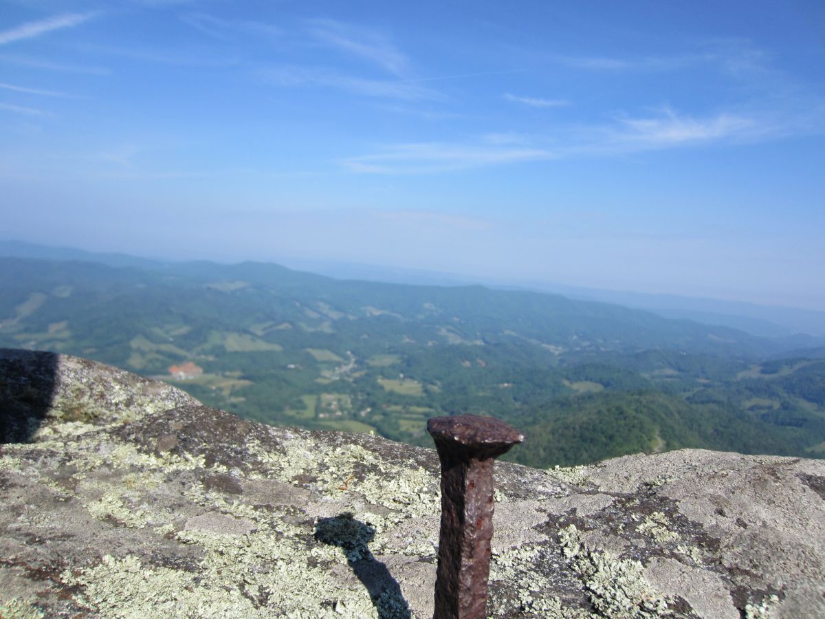
| 14:57, 13 April 2016 | PRD Cold Mountain Benchmark.jpg (file) |  |
388 KB | Summit benchmark | 1 |
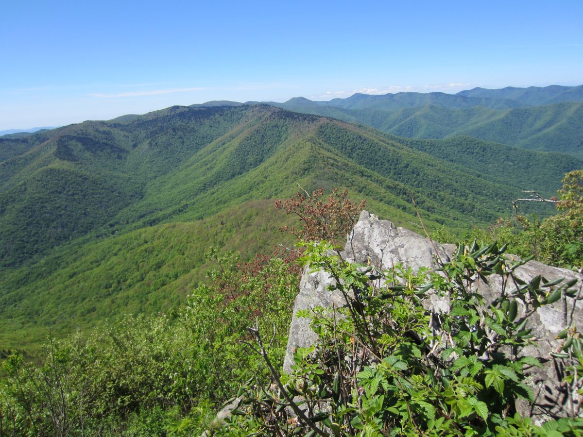
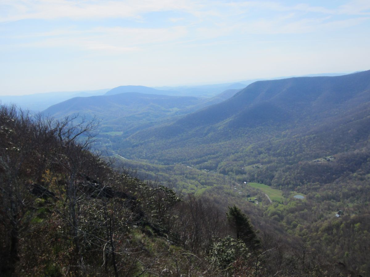
| 14:56, 13 April 2016 | PRD Cold Mountain View 3.jpg (file) |  |
224 KB | View from the summit of Cold Mountain | 1 |
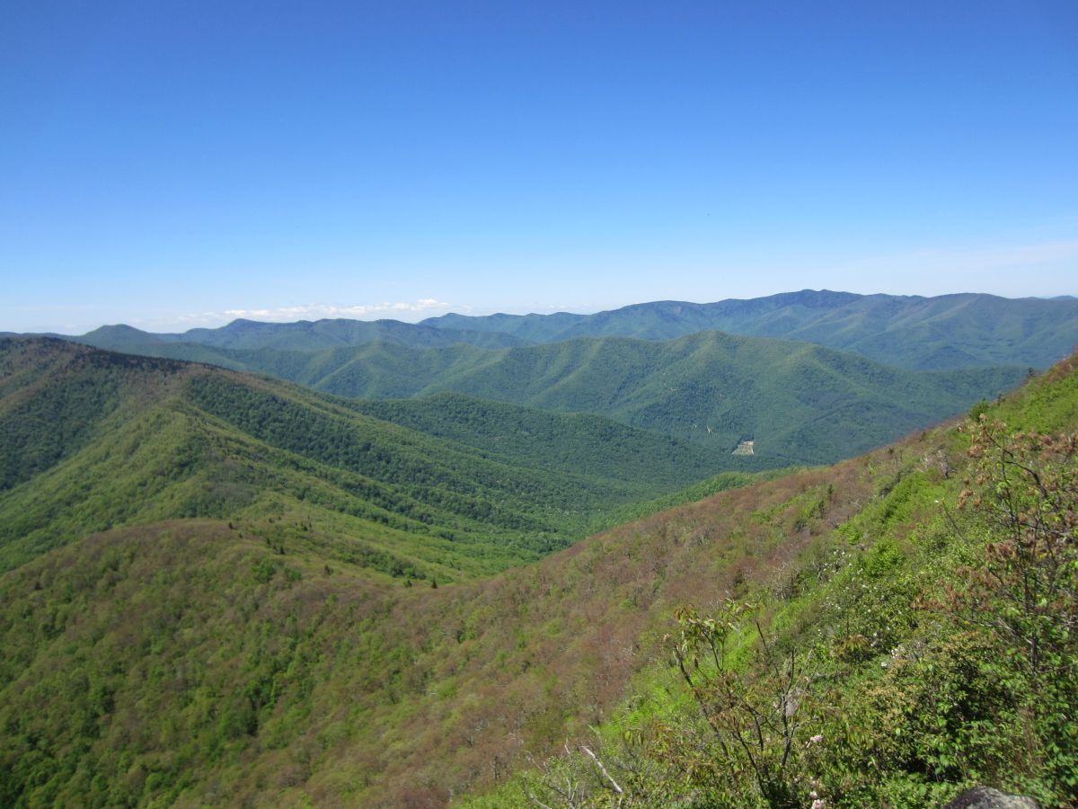
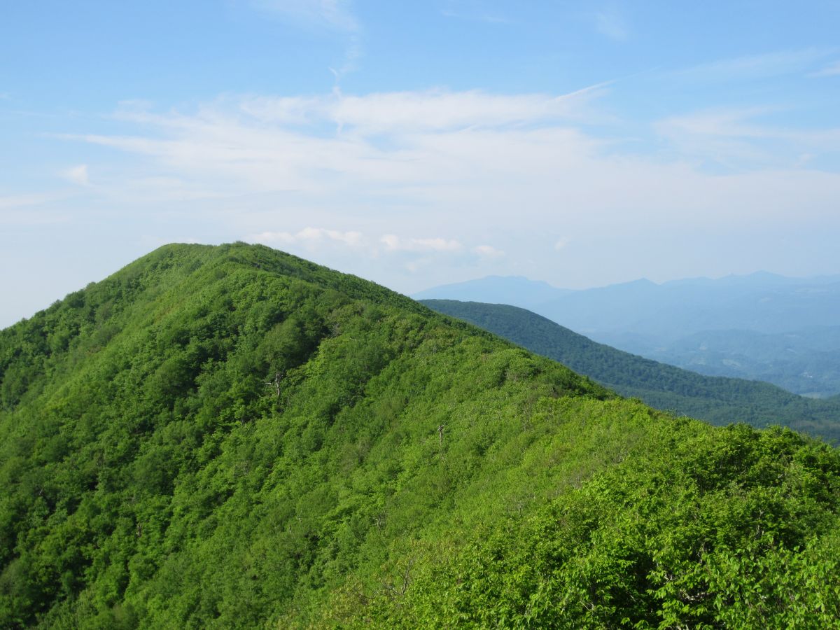
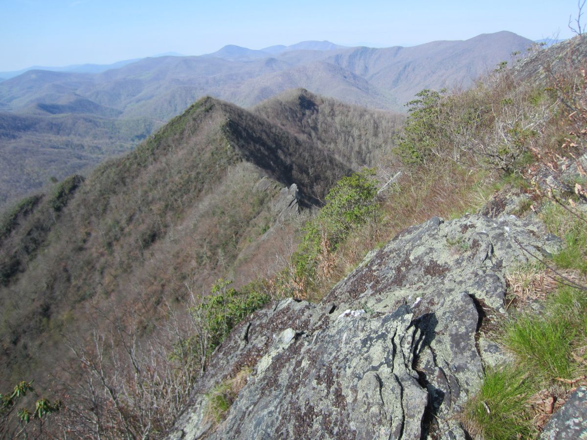
| 14:55, 13 April 2016 | PRD Cold Mountain View 2.jpg (file) |  |
176 KB | Looking towards the huge mass of Richard Balsam | 1 |
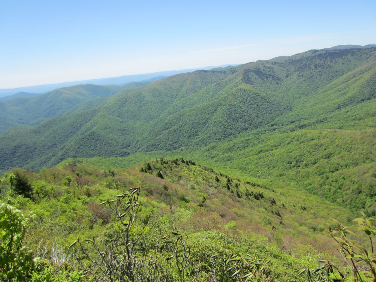
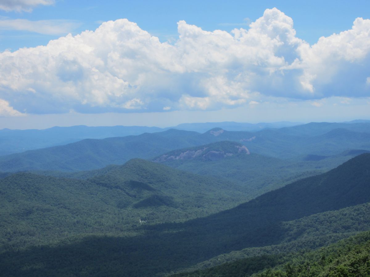
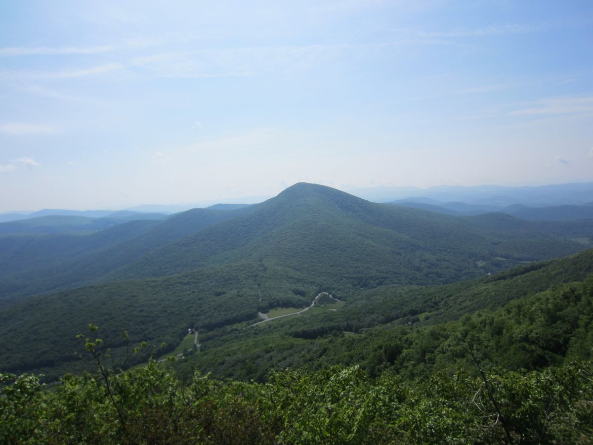
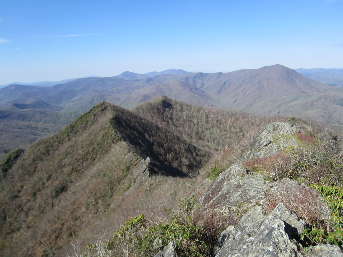
| 14:53, 13 April 2016 | PRD Cold Mountain View 1.jpg (file) |  |
261 KB | Looking south across the entire Shining Rock Wilderness area. The ridge in the middle is appropriately named The Narrows. | 1 |
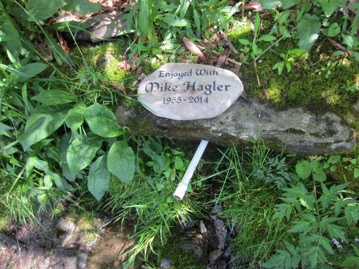
| 14:52, 13 April 2016 | PRD Cold Mountain Campsites Water Source.jpg (file) |  |
313 KB | Reliable water source just below the top of the ridgeline | 1 |
| 14:51, 13 April 2016 | PRD Cold Mountain Summit Trail Spur.jpg (file) |  |
378 KB | The start of the summit trail is in Deep Gap. 1.5 miles to the top from here. | 1 |
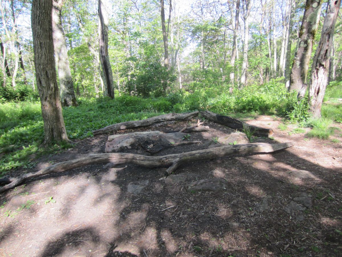
| 14:50, 13 April 2016 | PRD Cold Mountain Campsites Deep Gap.jpg (file) |  |
312 KB | Several camping sites at Deep Gap | 1 |
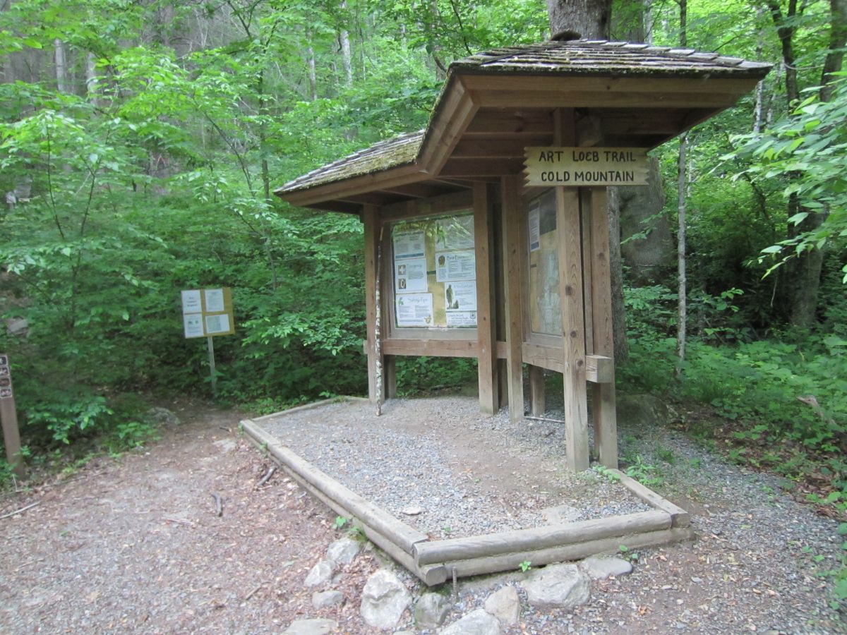
| 14:49, 13 April 2016 | PRD Cold Mountain Art Loeb Trailhead.jpg (file) |  |
262 KB | Kiosk at the start of the Art Loeb Trail | 1 |
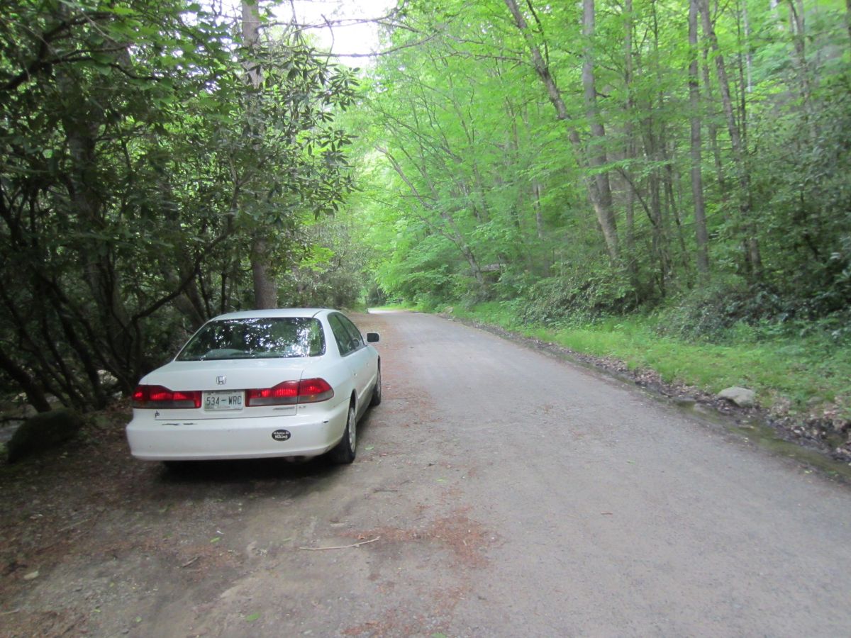
| 14:47, 13 April 2016 | PRD Cold Mountain Parking.jpg (file) |  |
222 KB | Narrow parking | 1 |
| 15:21, 8 April 2016 | PRD Pisgah Inn.jpg (file) |  |
171 KB | The Pisgah Inn | 1 |
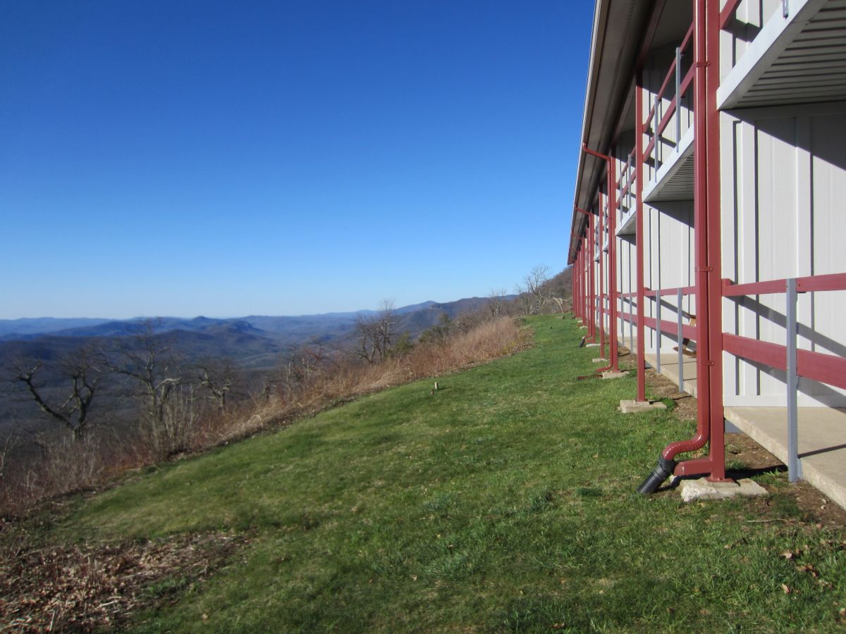
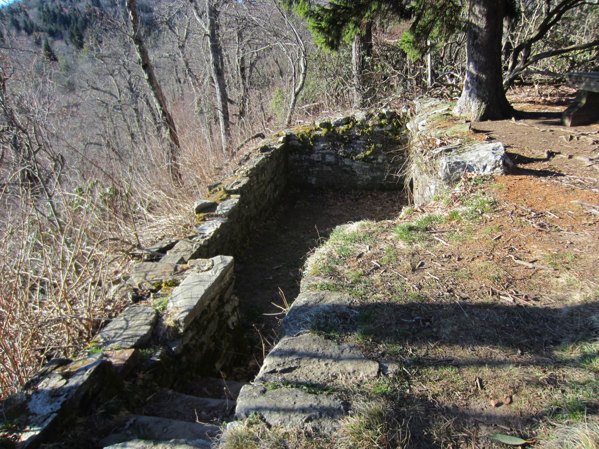
| 15:20, 8 April 2016 | PRD Buck Springs Lodge.jpg (file) |  |
390 KB | The remains of the Buck Spring Lodge. The lodge is the place George Vanderbilt of the Biltmore Estate would stay when he would go on hunting trips in his backyard (i.e. Pisgah National Forest). | 1 |
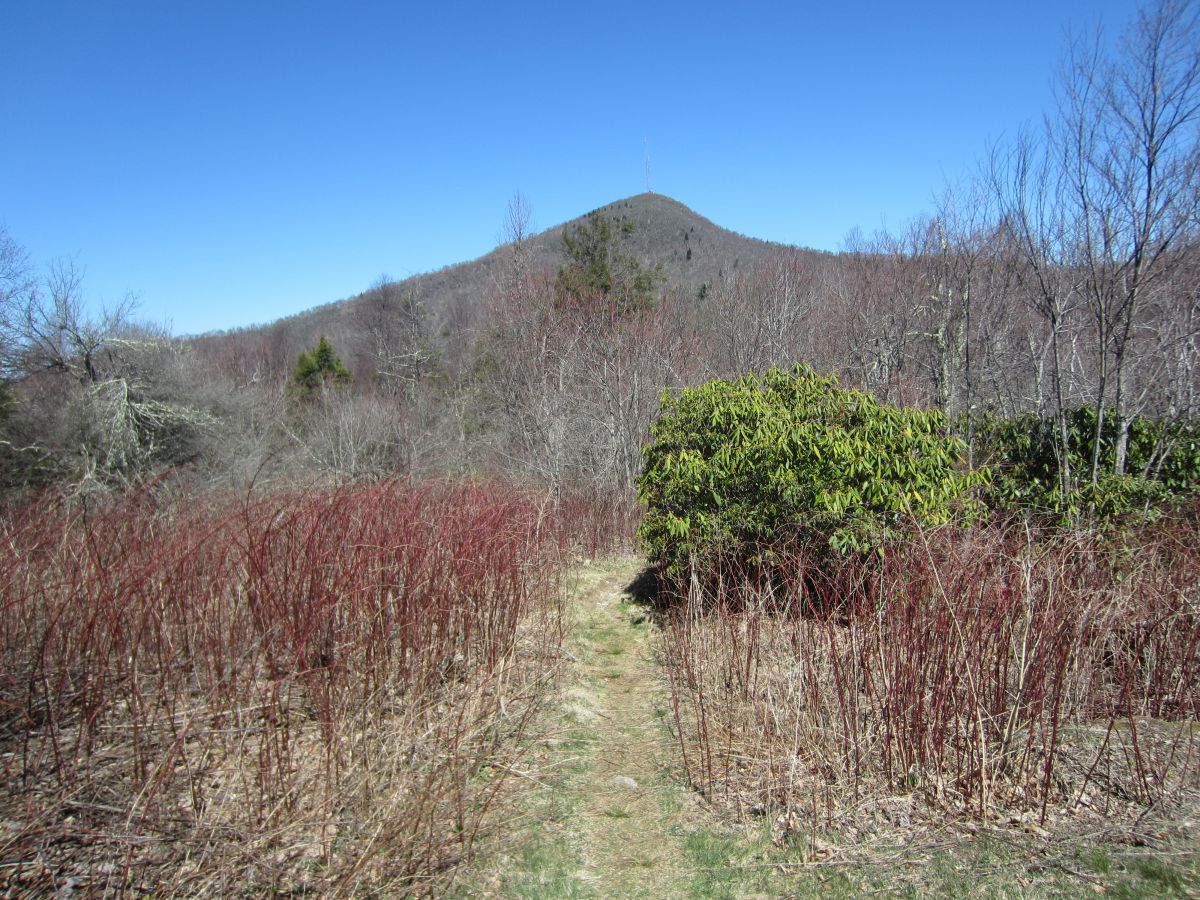
| 15:19, 8 April 2016 | PRD Mount Pisgah Summit.jpg (file) |  |
308 KB | Mount Pisgah from a meadow below | 1 |
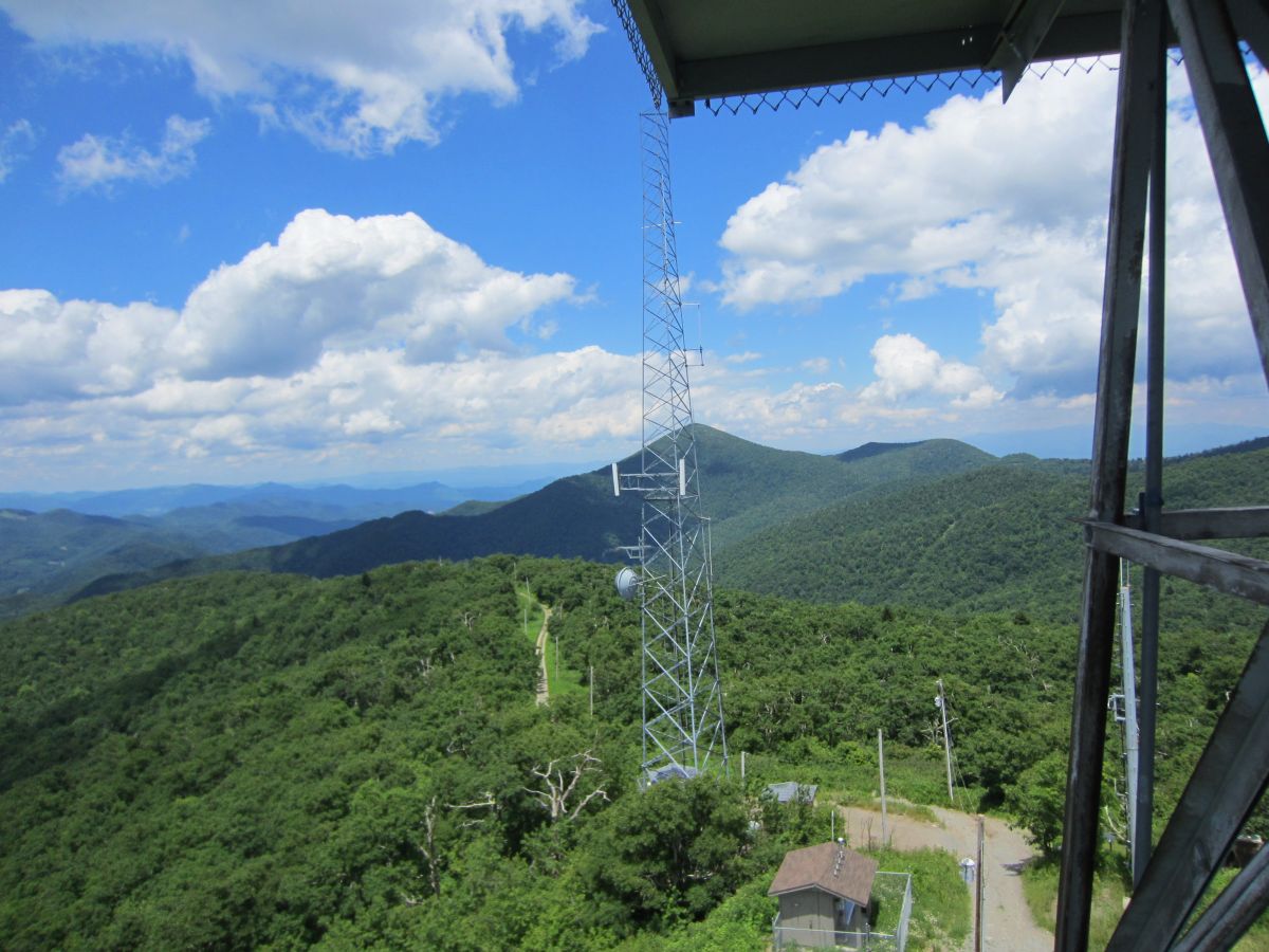
| 15:18, 8 April 2016 | PRD Mount Pisgah WLOS antenna.jpg (file) |  |
106 KB | Huge WLOS antenna on the Mount Pisgah summit. It does partially obscure your views. | 1 |
| 15:17, 8 April 2016 | PRD Mount Pisgah Platform.jpg (file) |  |
274 KB | Wooden platform at the top of Mount Pisgah | 1 |
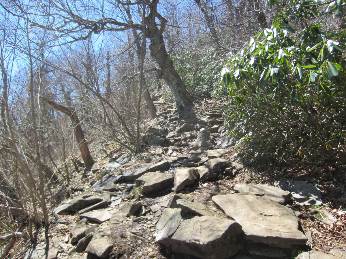
| 15:16, 8 April 2016 | PRD Mount Pisgah Summit Trail.jpg (file) |  |
376 KB | Typical rocky conditions on the summit trail | 1 |
| 15:15, 8 April 2016 | PRD Mount Pisgah Parking Lot.jpg (file) |  |
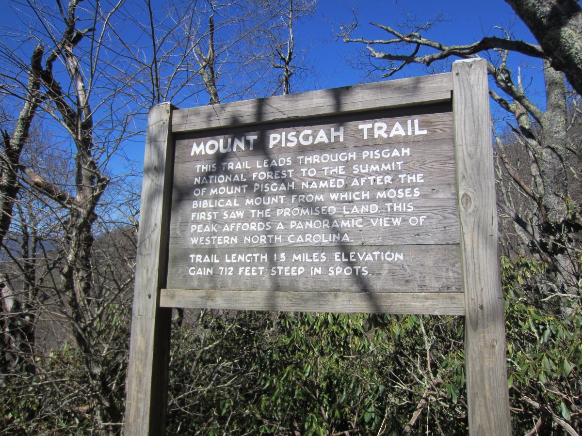
302 KB | Informational sign at Mount Pisgah parking lot | 1 |
| 15:14, 8 April 2016 | PRD Mount Pisgah View Big Bald Summit.jpg (file) |  |
124 KB | View towards Big Bald from the summit of Mount Pisgah | 1 |
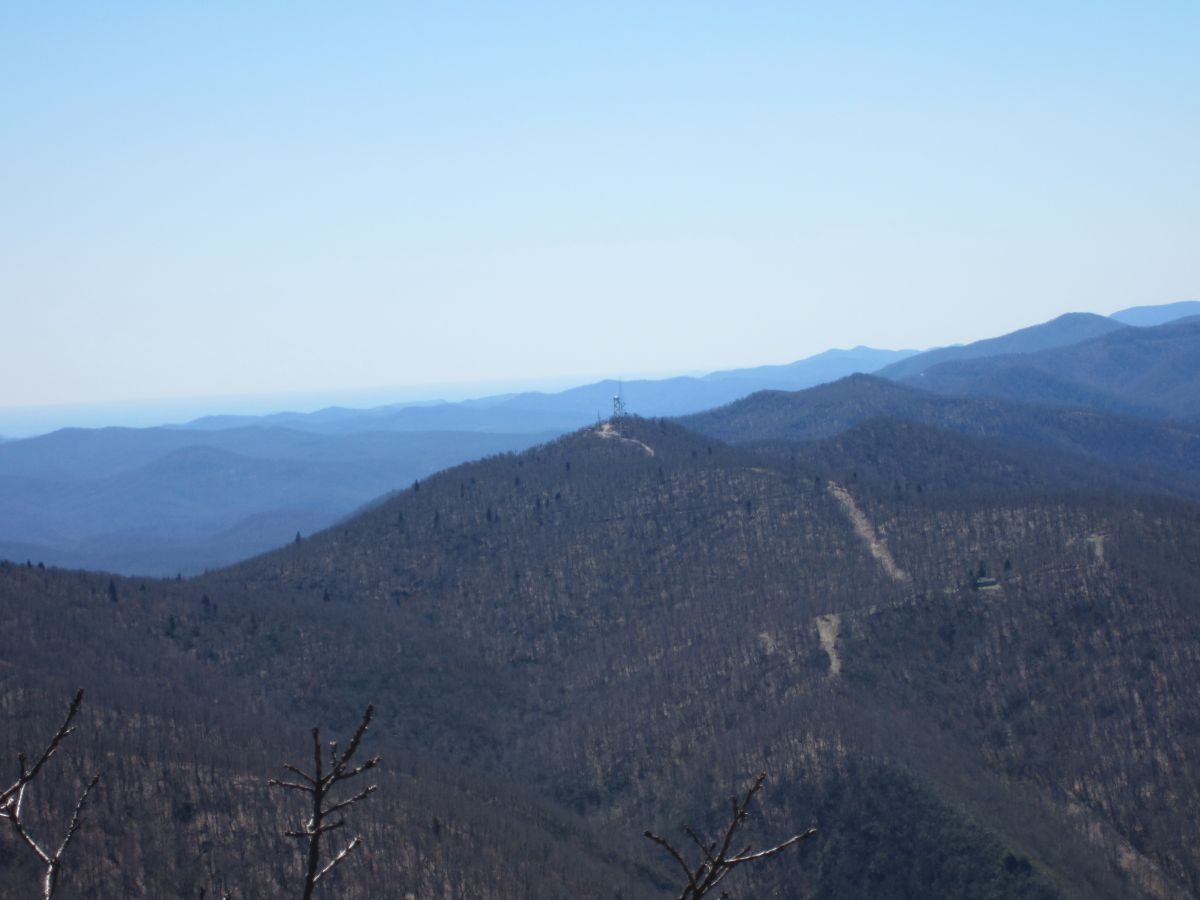
| 15:13, 8 April 2016 | PRD Mount Pisgah View Fryingpan Mountain.jpg (file) |  |
95 KB | View towards the fire tower on Fryingpan Mountain | 1 |
| 15:12, 8 April 2016 | PRD Mount Pisgah View Biltmore House.jpg (file) |  |
110 KB | View of the Biltmore House from the summit of Mount Pisgah | 1 |
| 15:11, 8 April 2016 | PRD Mount Pisgah View Cold Mountain.jpg (file) |  |
162 KB | Cold Mountain from the summit of Mount Pisgah. The Balsam Mountains and Smoky Mountains behind it. | 1 |
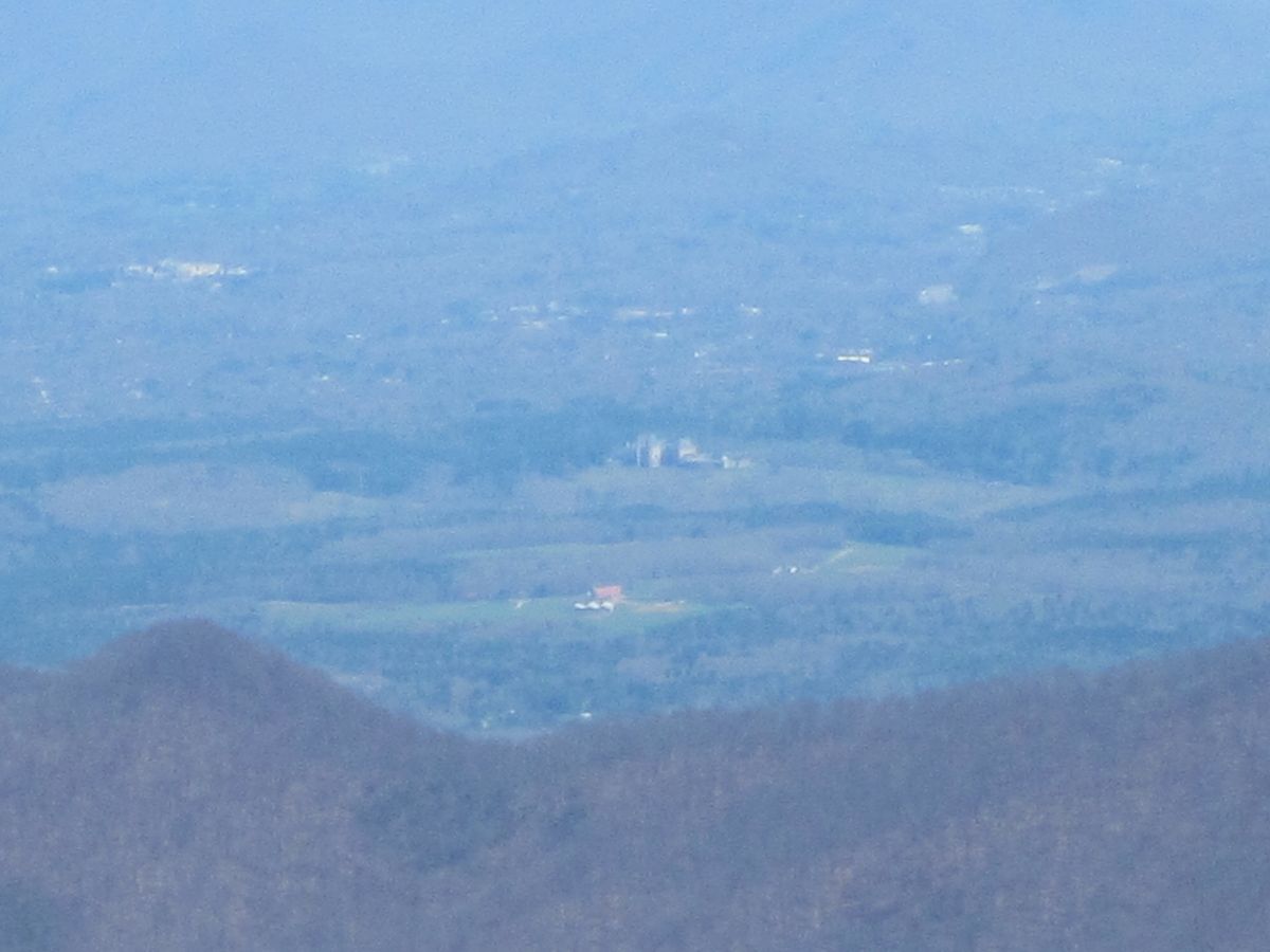
| 15:10, 8 April 2016 | PRD Mount Pisgah View Asheville.jpg (file) |  |
95 KB | View Towards Asheville with the Craggy and Black Mountains looming over the city | 1 |
| 15:09, 8 April 2016 | PRD Fryingpan Mountain Fire Tower.jpg (file) |  |
183 KB | 71 foot fire tower on the mountain summit. Highest in North Carolina | 1 |
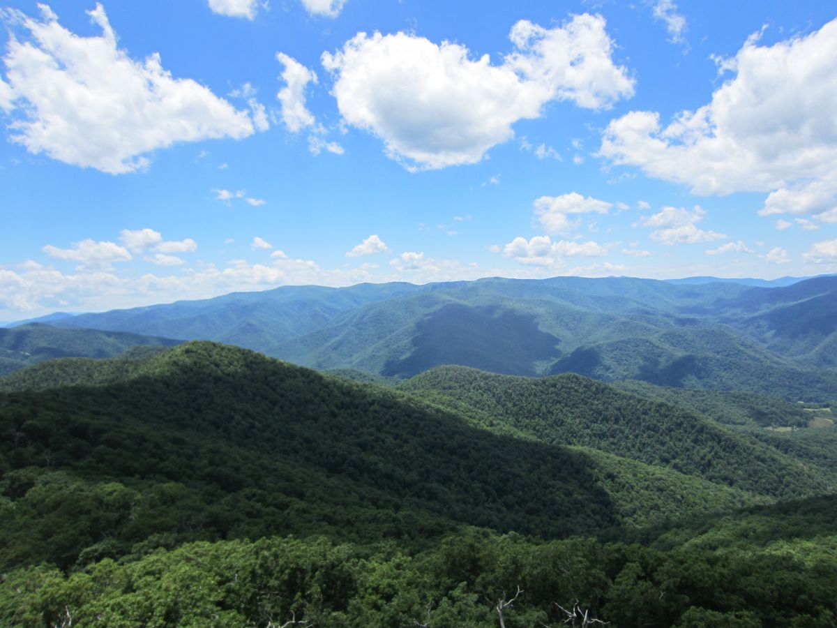
| 15:08, 8 April 2016 | PRD Fryingpan Mountain View Balsam Mountains.jpg (file) |  |
154 KB | View towards the Balsam Mountains and Shining Rock | 1 |
| 15:06, 8 April 2016 | PRD Fryingpan Mountain View Looking Glass Rock.jpg (file) |  |
111 KB | View towards Looking Glass Rock | 1 |
| 15:02, 8 April 2016 | PRD Fryingpan Mountain View Mount Pisgah.jpg (file) |  |
181 KB | View towards Mount Pisgah | 1 |
| 15:00, 8 April 2016 | PRD Fryingpan Mountain View Cold Mountain.jpg (file) |  |
152 KB | View towards Cold Mountain | 1 |
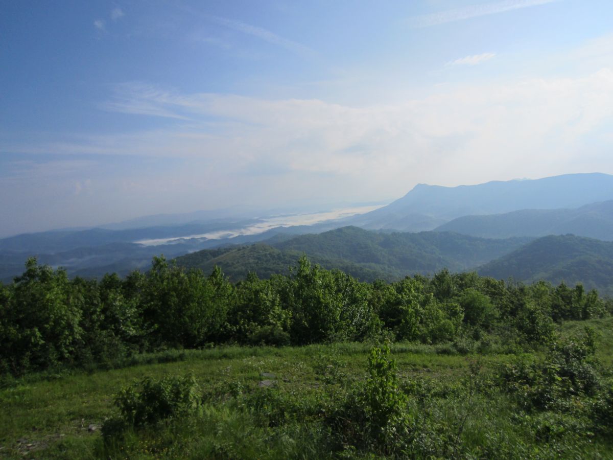
| 17:07, 24 February 2016 | AM Snake Mountain View Meadow.jpg (file) |  |
150 KB | Looking towards the mountains over Boone NC | 1 |
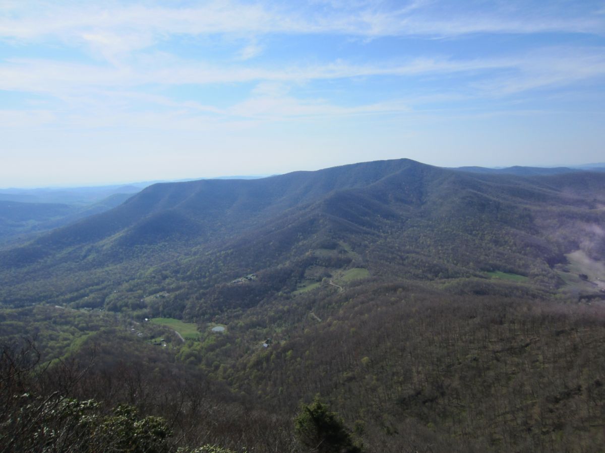
| 17:07, 24 February 2016 | AM Snake Mountain Rich Mountain.jpg (file) |  |
207 KB | The meadow after the south summit. Rich Mountain dominates your view here. Grandfather Mountain and the ski areas directly above it in the distance. | 1 |
| 17:06, 24 February 2016 | AM Snake Mountain View Elk Knob.jpg (file) |  |
128 KB | Looking across the valley on the ridgeline towards Elk Knob. | 1 |
| 17:05, 24 February 2016 | AM Snake Mountain South Summit.jpg (file) |  |
193 KB | Looking towards the south summit. Grandfather Mountain, Sugar Mountain and Hanging Rock off in the distance | 1 |
| 17:05, 24 February 2016 | AM Snake Mountain Spike.jpg (file) |  |
177 KB | No benchmark but this metal spike marks the summit. 360 degree views! | 1 |
| 17:04, 24 February 2016 | AM Snake Mountain North Summit.jpg (file) |  |
211 KB | Approaching the North Summit. This is the high point of Johnson County TN. | 1 |
| 17:04, 24 February 2016 | AM Snake Mountain Sunalei Preserve.jpg (file) |  |
205 KB | Sunalei Preserve. Very large expensive homes on the side of a mountain. Yuck! | 1 |
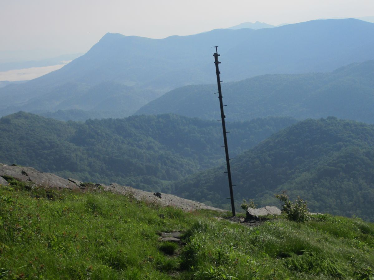
| 17:03, 24 February 2016 | AM Snake Mountain Pole.jpg (file) |  |
138 KB | Not sure of the purpose of this pole but it make for a nice subject with a dramatic backdrop. | 1 |
| 17:02, 24 February 2016 | AM Snake Mountain Elk Knob.jpg (file) |  |
155 KB | Looking down the valley between Snake Mountain and Elk Knob. The mountains in the distance hover over Boone NC. | 1 |
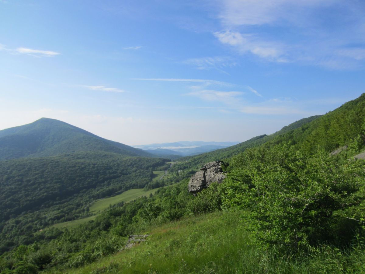
| 17:01, 24 February 2016 | AM Snake Mountain The Peak.jpg (file) |  |
138 KB | The view north from the open fields of Snake Mountain. The Peak is the obvious mountain in the distance. | 1 |
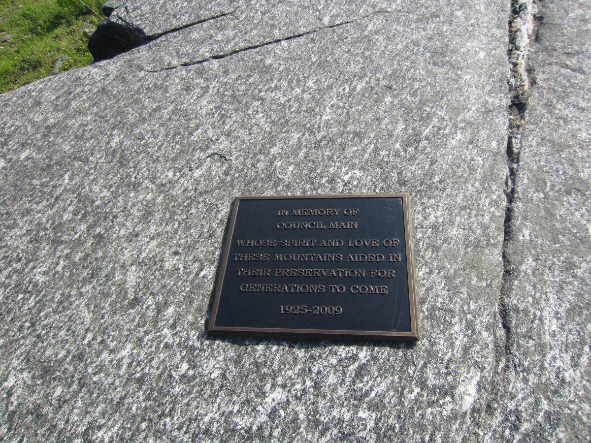
| 17:00, 24 February 2016 | AM Snake Mountain Plaque.jpg (file) |  |
396 KB | Plaque dedicated to Council Main | 1 |
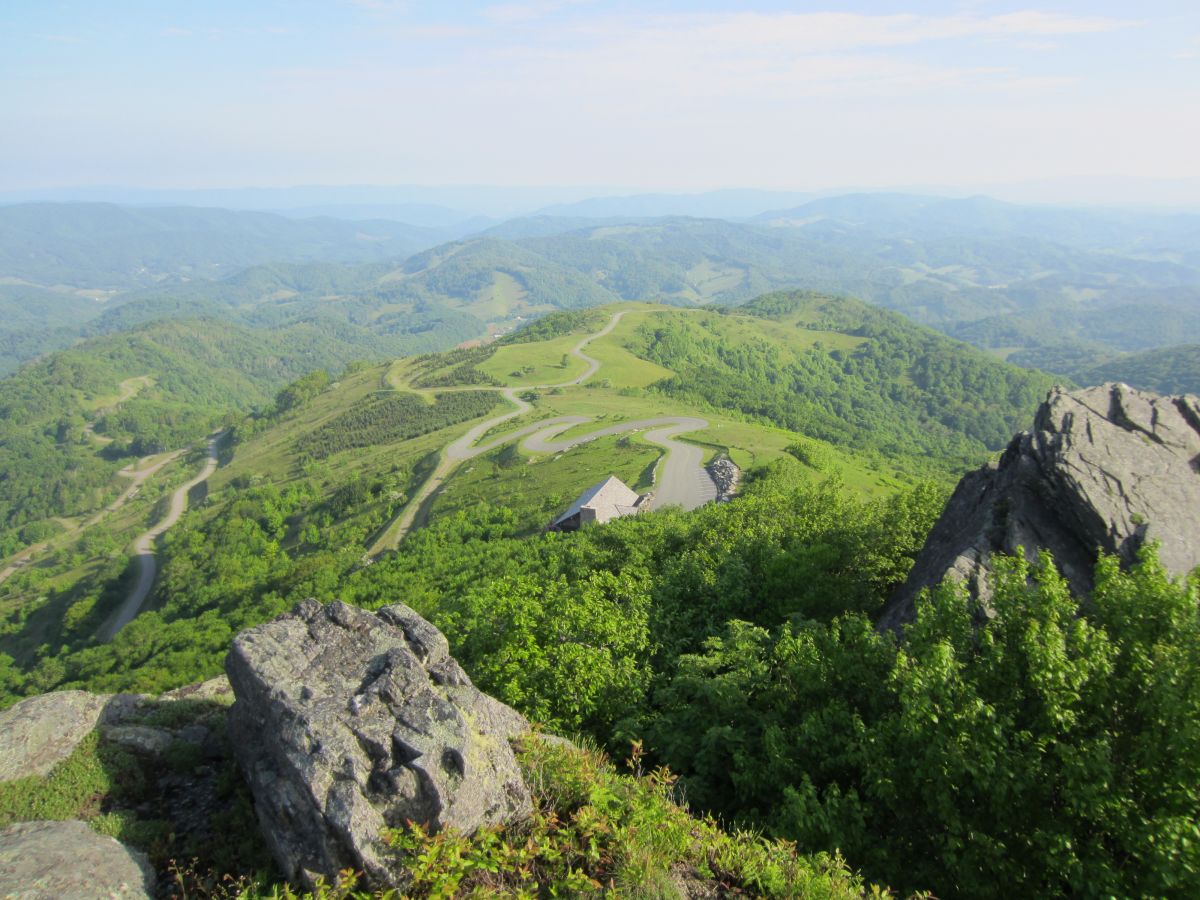
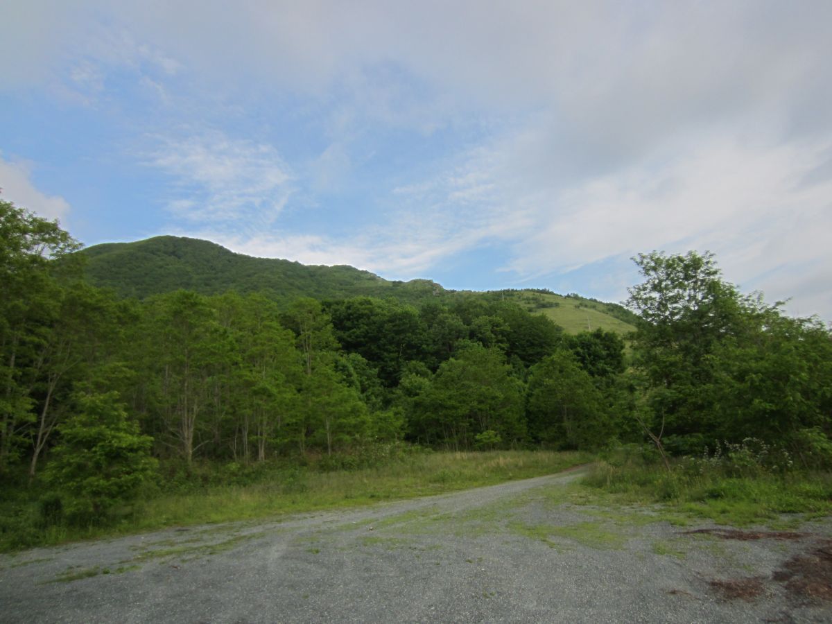
| 16:58, 24 February 2016 | AM Snake Mountain Parking Area.jpg (file) |  |
141 KB | 2 | |
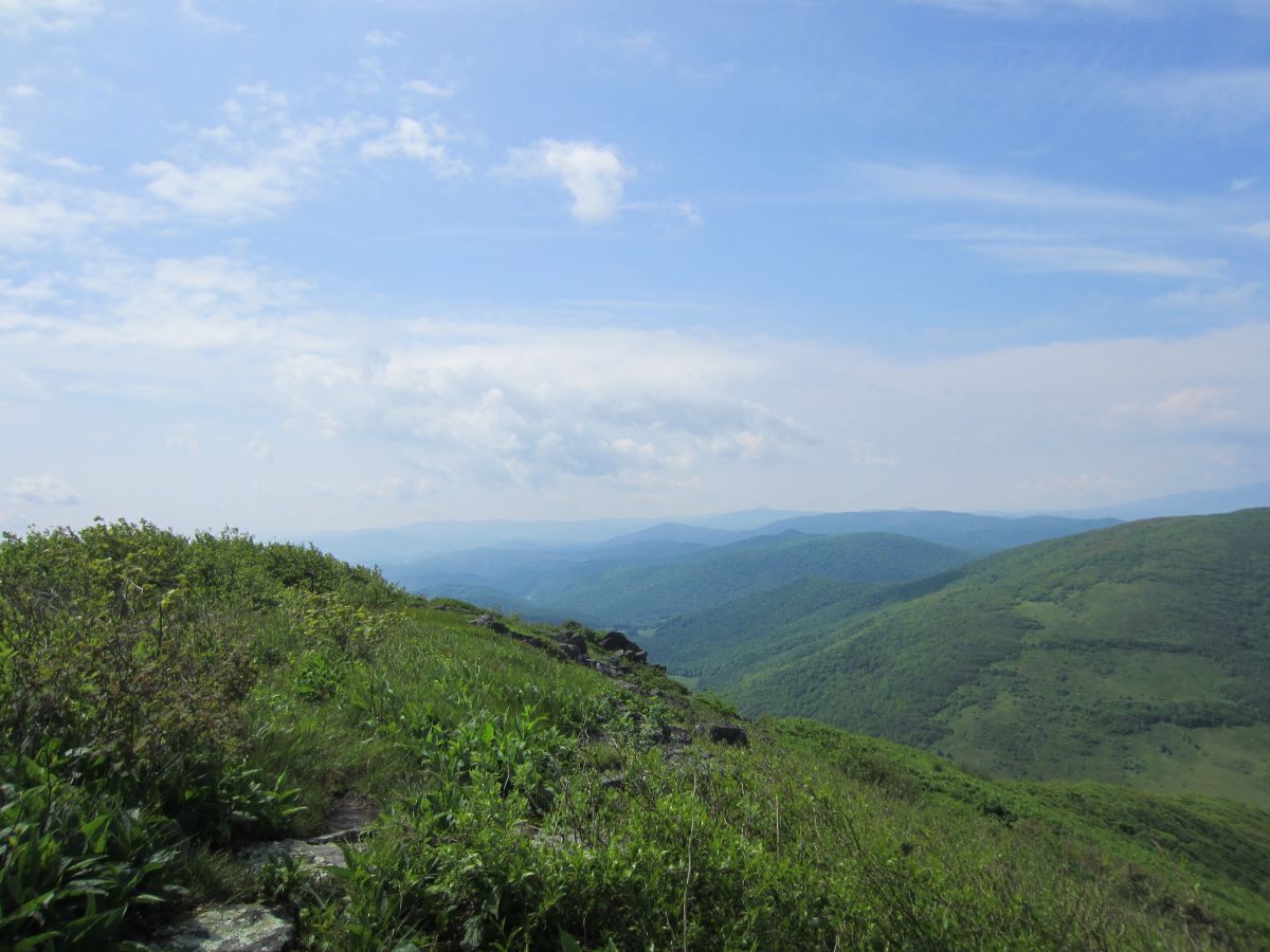
| 16:42, 2 February 2016 | AM Three Top Mountain BR View 4.jpg (file) |  |
122 KB | Bluff Mountain across the valley | 1 |
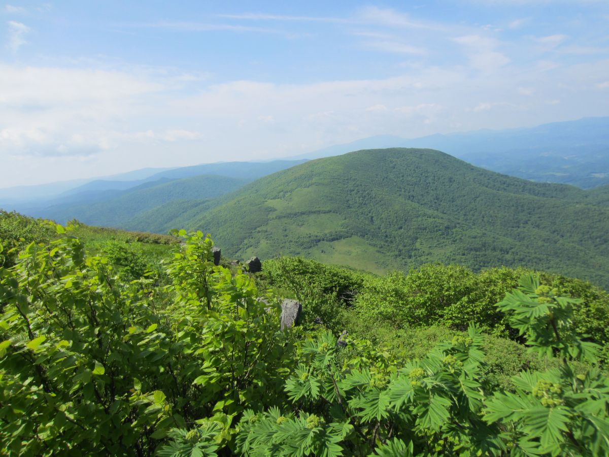
| 16:42, 2 February 2016 | AM Three Top Mountain BR View 3.jpg (file) |  |
163 KB | Looking back at the way you came. Huckleberry Knob in the background. | 1 |
| 16:41, 2 February 2016 | AM Three Top Mountain BR View 2.jpg (file) |  |
206 KB | Pretty much the entire Amphibolite Range north of Boone is visible here plus the Roan Highlands and Grandfather Mountain. | 1 |
| 16:40, 2 February 2016 | AM Three Top Mountain BR View 1.jpg (file) |  |
140 KB | Looking down the valley. Mount Jefferson sticking it's head up in the distance | 1 |
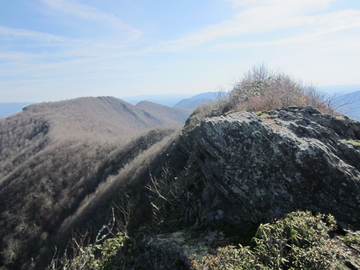
| 16:39, 2 February 2016 | AM Three Top Mountain BR Knifeedge.jpg (file) |  |
328 KB | You don't get much more knife-edge than this | 1 |
| 16:38, 2 February 2016 | AM Three Top Mountain BR Cliffs 2.jpg (file) |  |
261 KB | Almost there. One final push. | 1 |