Uploads by Vhasler
Jump to navigation
Jump to search
This special page shows all uploaded files.
| Date | Name | Thumbnail | Size | Description | Versions |
|---|---|---|---|---|---|
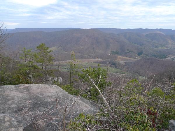
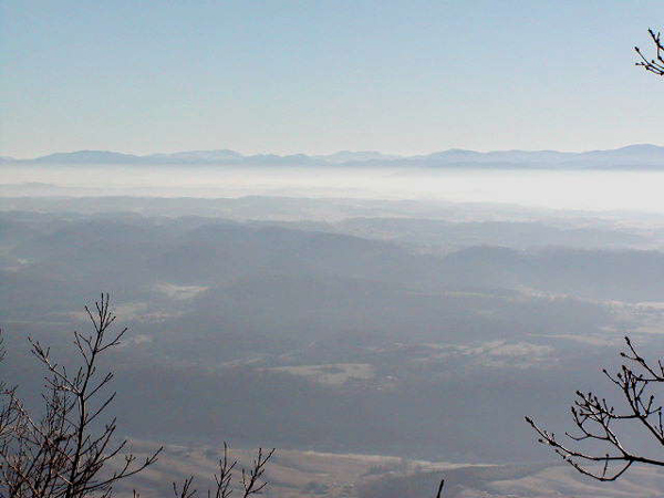
| 22:46, 2 March 2011 | High Butte.jpg (file) |  |
71 KB | High Butte overlook - photo by Dennis Mott | 1 |
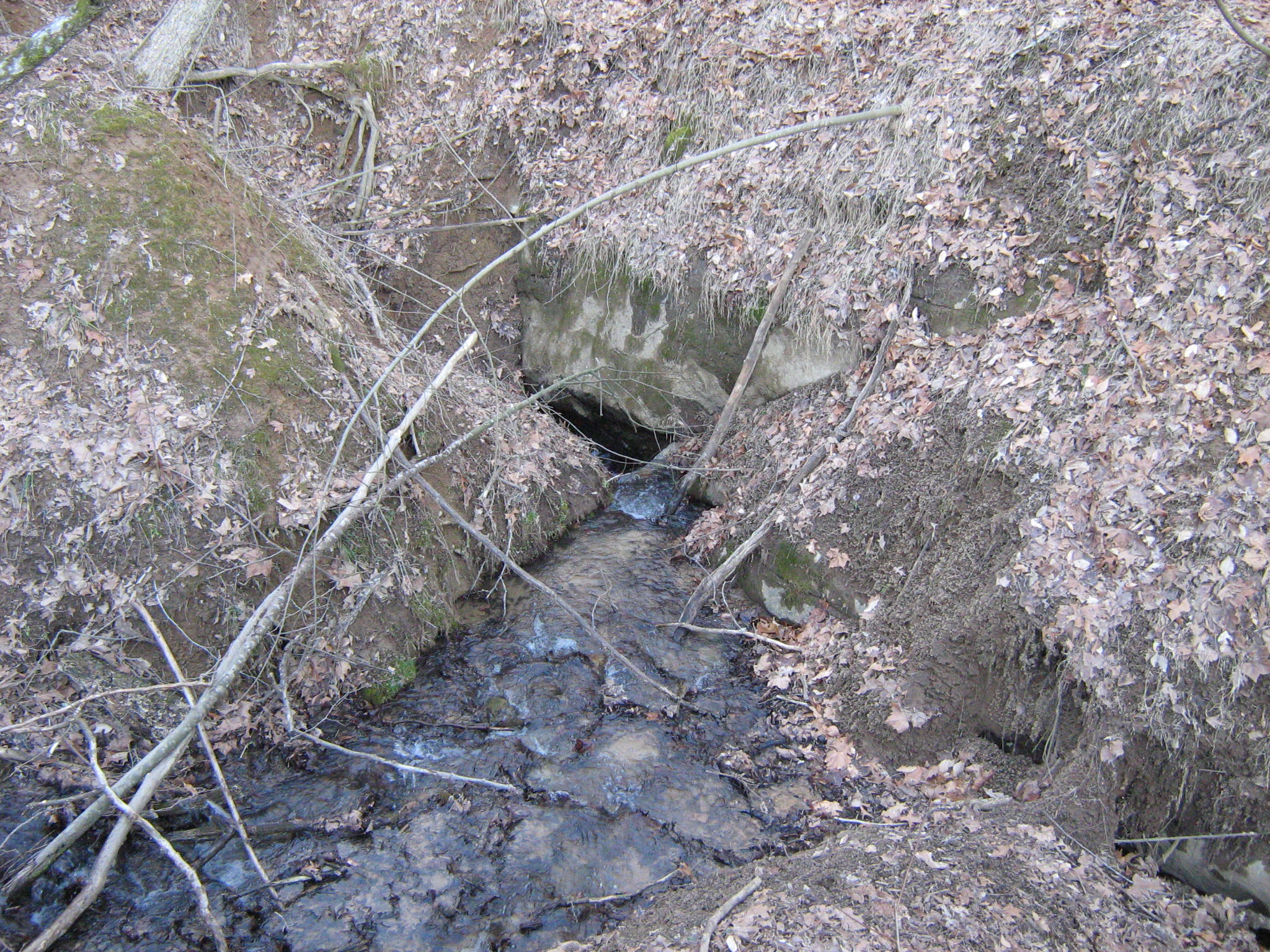
| 23:16, 2 March 2011 | Sinking Waters sinkhole.jpg (file) |  |
910 KB | Cedar Branch Creek disappears into this sinkhole, thus the name of Sinking Waters given to the wetlands. (Photo by Vic Hasler) | 1 |
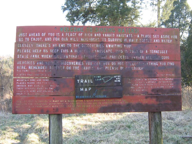
| 23:18, 2 March 2011 | Sinking Waters information sign.jpg (file) |  |
123 KB | Trailhead Sign for Sinking Waters wetlands area (photo by Vic Hasler) | 1 |
| 11:04, 5 March 2011 | Lakeside Trailhead from Dam.jpg (file) |  |
104 KB | Lakeside trailhead from dam - Photo by Vic Hasler | 1 |
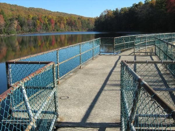
| 11:09, 5 March 2011 | Lakeside Trail - Bays Mountain Dam.jpg (file) |  |
84 KB | Dam crossing at Bays Mountain Park - Photo by Vic Hasler | 1 |
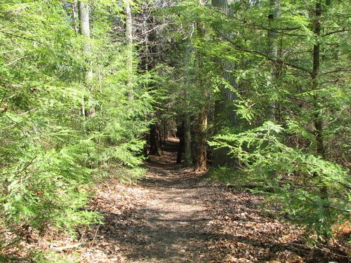
| 11:10, 5 March 2011 | Lakeside trail - evergreen grove.jpg (file) |  |
83 KB | Walking through evergreen grove on Lakeside Trail - photo by Vic Hasler | 1 |
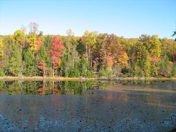
| 11:11, 5 March 2011 | Lakeside Trail - former aviary area.jpg (file) |  |
69 KB | Look at reservoir from former avery area along Lakeside Trail - photo by Vic Hasler | 1 |
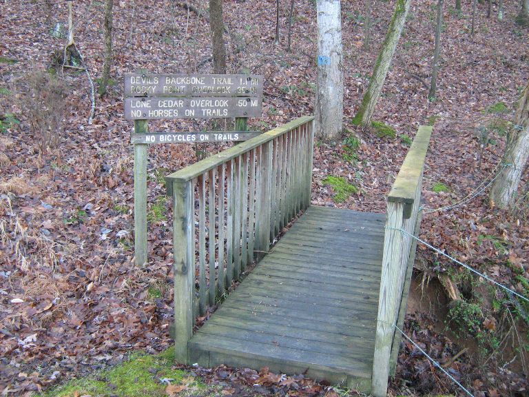
| 12:00, 5 March 2011 | Devil's Backbone trailhead .jpg (file) |  |
159 KB | Devil's Backbone trailhead beside #17 Tee - photo by Vic Hasler | 1 |
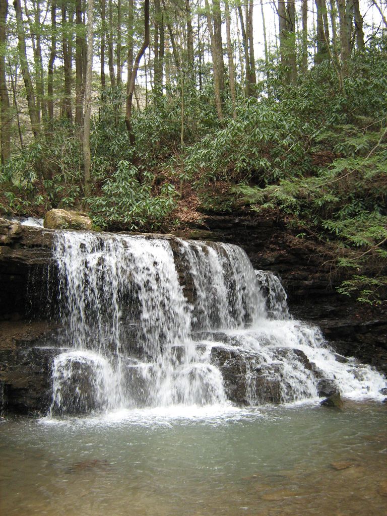
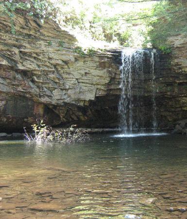
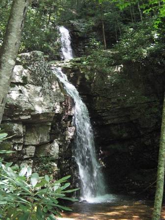
| 12:14, 5 March 2011 | Lower Kiner Hollow Falls.jpg (file) |  |
239 KB | Lower Kiner Hollow Falls - photo by Vic Hasler | 1 |
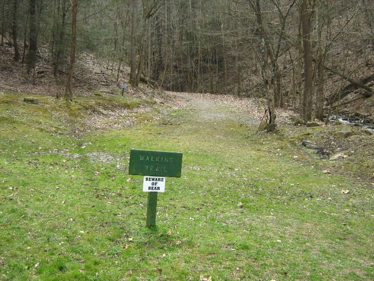
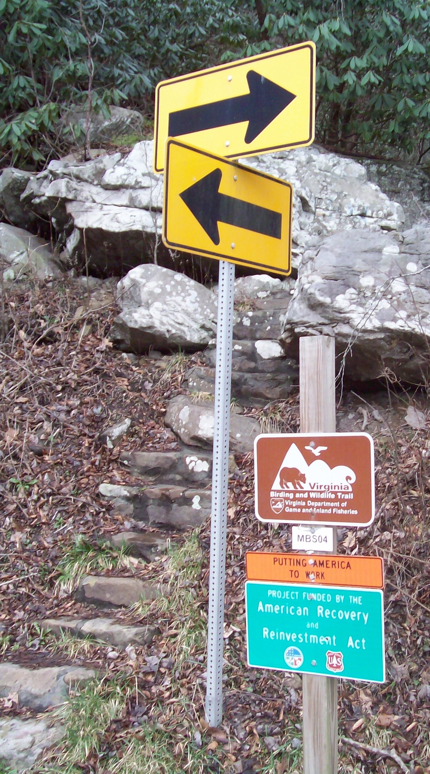
| 16:04, 5 March 2011 | Kiner Hollow Trailhead in Laurel Run Park.jpg (file) |  |
164 KB | Trailhead for Kiner Hollow starting from Laurel Run Park - photo by Vic Hasler | 1 |
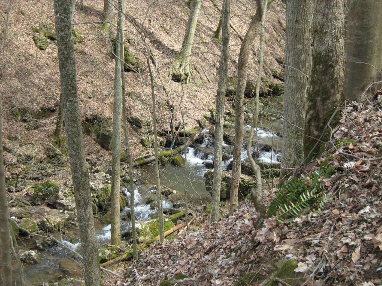
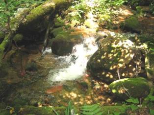
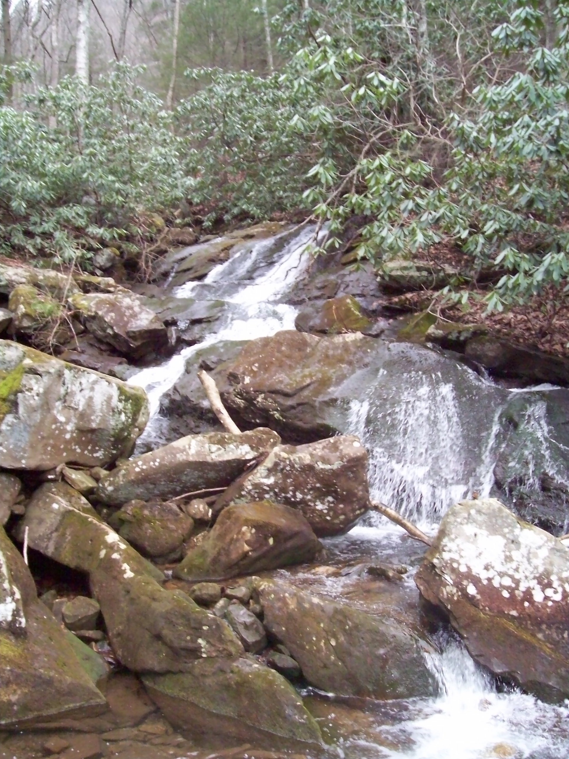
| 16:28, 5 March 2011 | Laurel Run Trail creek.jpg (file) |  |
175 KB | Cascading creek below the Laurel Run Trail - photo by Vic Hasler | 1 |
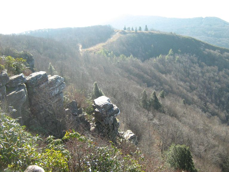
| 17:12, 5 March 2011 | Blackstack Cliffs1jpg.jpg (file) |  |
106 KB | View SW from Blackstack Cliffs - photo by Vic Hasler | 1 |
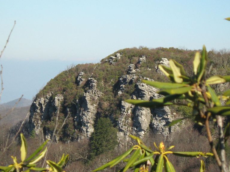
| 17:39, 5 March 2011 | Blackstack Cliffs2.jpg (file) |  |
84 KB | Blackstack Cliffs as viewed from the parking area - photo by Vic Hasler | 1 |
| 18:36, 5 March 2011 | Upper Falls of Little Stony Creek.jpg (file) |  |
55 KB | Photo by Vic Hasler | 1 |
| 21:35, 6 March 2011 | GuestRiverGorge-20040320-1.jpg (file) |  |
199 KB | Guest River Gorge - March 2004 - photo by Vic Hasler | 1 |
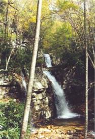
| 21:43, 6 March 2011 | GentryCreekFalls.jpg (file) |  |
16 KB | Gentry Creek Falls | 1 |
| 21:51, 6 March 2011 | GentryCreek20070811-01.jpg (file) |  |
21 KB | Gentry Creek August 2007 - photo by Vic Hasler | 1 |
| 21:53, 6 March 2011 | GentryCreek20070811-02.jpg (file) |  |
173 KB | Gentry Creek Waterfalls - August 2007 - photo by Vic Hasler | 1 |
| 21:55, 6 March 2011 | GentryCreek20070811-03.jpg (file) |  |
32 KB | Bridge crossing on Gentry Creek - Aug 2007 - photo by Vic Hasler | 1 |
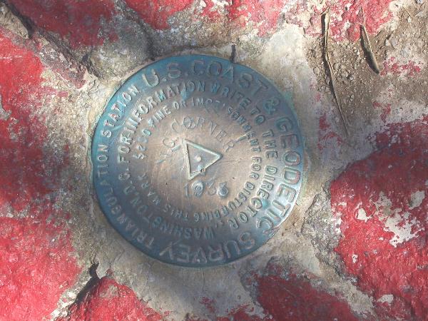
| 22:56, 7 March 2011 | NC-VA-TN Corner triangulation station disk.jpg (file) |  |
83 KB | Disk at tri-state corner | 1 |
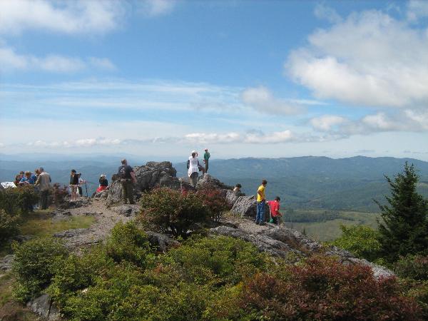
| 21:34, 10 March 2011 | Grayson Highlands SP - Little Pinnacle.jpg (file) |  |
54 KB | BSA Troop 48 all over Little Pinnacle (5,089 Feet) - photo by Vic Hasler | 1 |
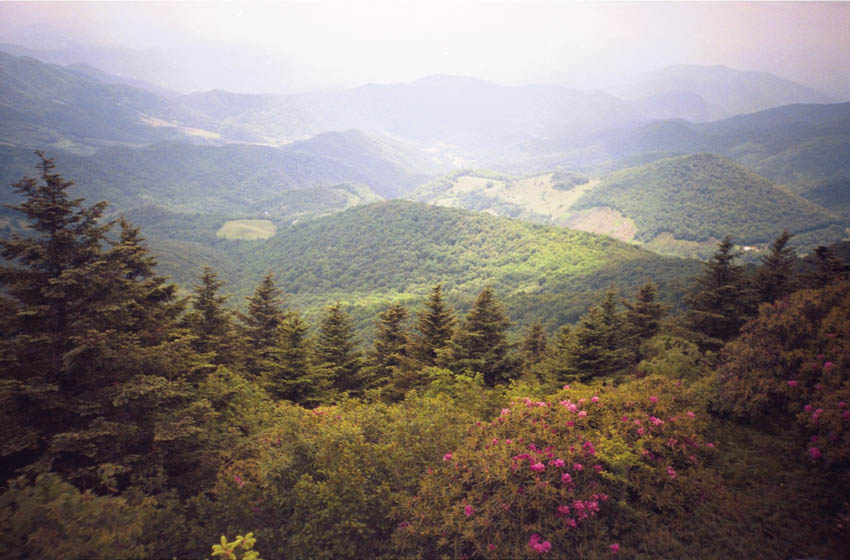
| 23:35, 10 March 2011 | GrassyRidge View.jpg (file) |  |
87 KB | Catawba rhododendron and view along trail to Grassy Ridge | 1 |
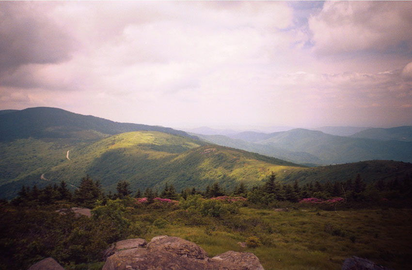
| 23:44, 10 March 2011 | View from GrassyRidge.jpg (file) |  |
79 KB | 1 | |
| 23:48, 10 March 2011 | Cornelious Rex Peake.jpg (file) |  |
91 KB | On top of Grassy Ridge | 1 |
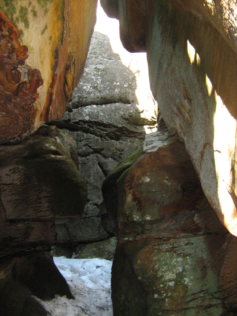
| 05:29, 14 March 2011 | The Great Channels1.jpg (file) |  |
139 KB | View inside The Great Channels - photo by Vic Hasler | 1 |
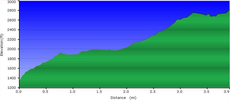
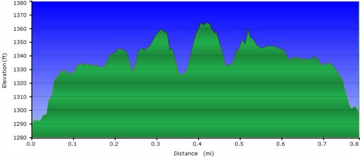
| 06:01, 21 March 2011 | Roaring Branch Trail profile.JPG (file) |  |
32 KB | Profile from GPX file - generated by Vic Hasler | 1 |
| 20:26, 21 March 2011 | Roaring Branch Trailhead.JPG (file) |  |
1.07 MB | 1 | |
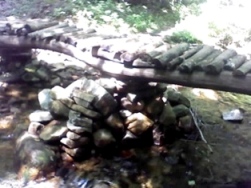
| 20:39, 21 March 2011 | Roaring Branch waterfall.JPG (file) |  |
1.07 MB | Cascading waterfall at trailhead - photo by Vic Hasler | 1 |
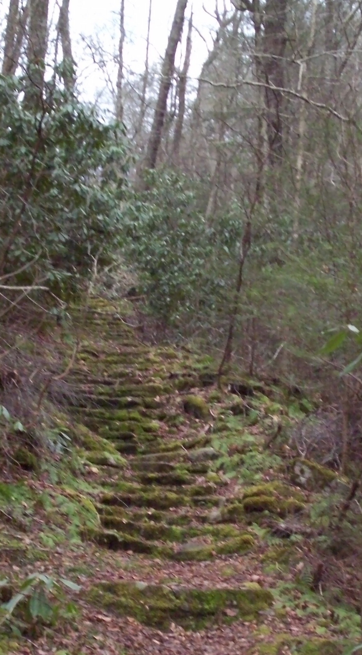
| 20:45, 21 March 2011 | Roaring Branch Trail - stone steps.JPG (file) |  |
507 KB | 1 | |
| 20:55, 21 March 2011 | Roaring Branch Trail - first creek crossing.JPG (file) |  |
1.21 MB | 1 | |
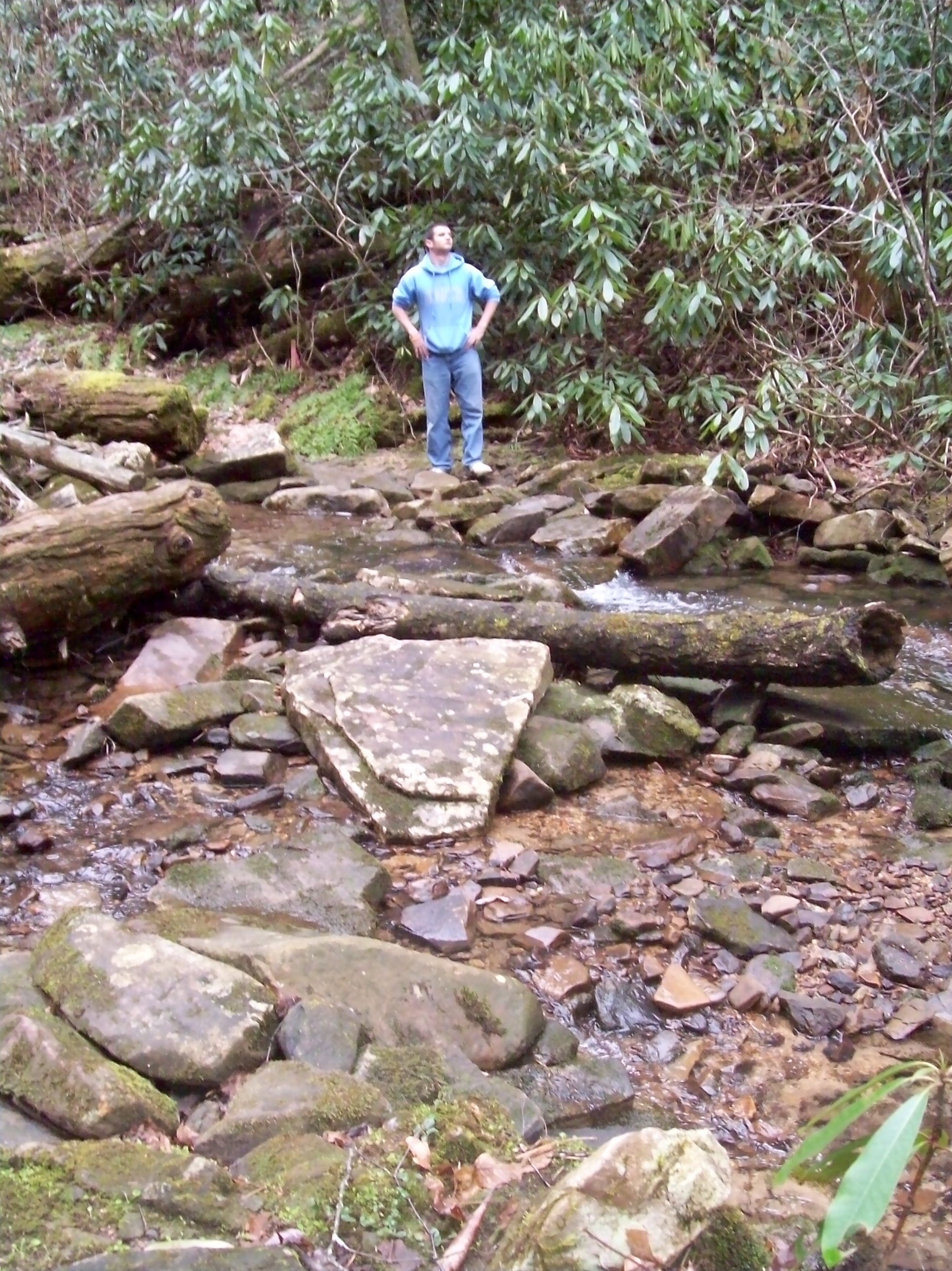
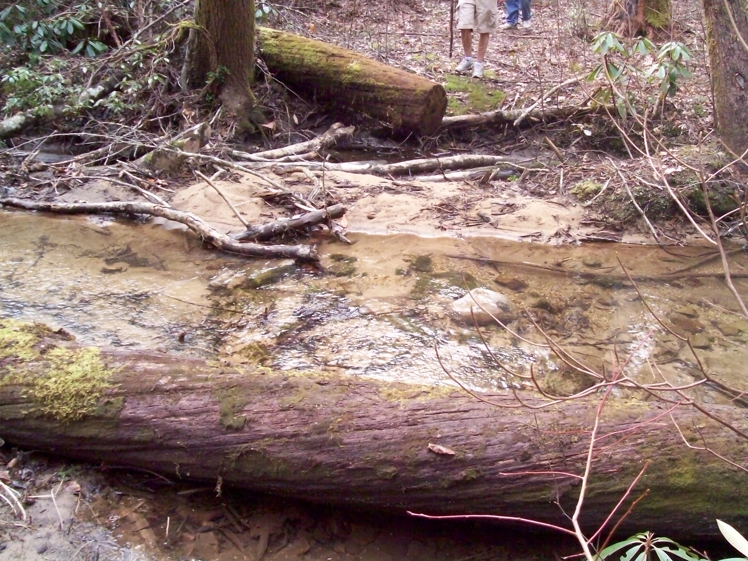
| 21:04, 21 March 2011 | Roaring Branch Trail - wide creek crossing.JPG (file) |  |
1.01 MB | 3 | |
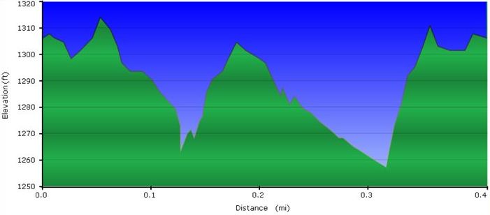
| 05:55, 22 March 2011 | Holston Bluffs Trail profile.JPG (file) |  |
28 KB | 1 | |
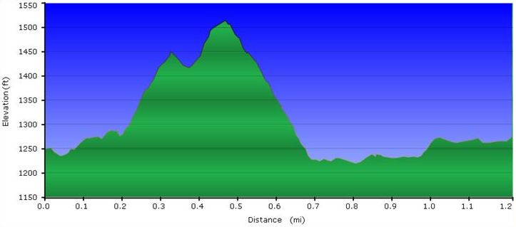
| 06:01, 23 March 2011 | WPSP Devil's Backbone Trail profile.JPG (file) |  |
31 KB | 1 | |
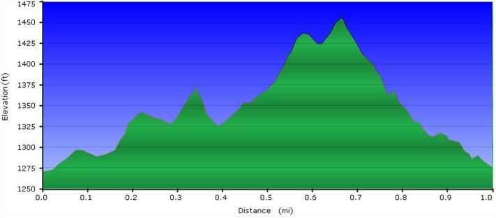
| 07:46, 23 March 2011 | WPSP Fall Creek Loop Trail profile.JPG (file) |  |
31 KB | 1 | |
| 08:07, 23 March 2011 | WPSP Overlook Trail profile.JPG (file) |  |
32 KB | 1 | |
| 05:22, 24 March 2011 | View from ChimneyTop.jpg (file) |  |
169 KB | 1 | |
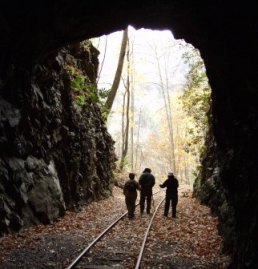
| 05:44, 24 March 2011 | Doe River Gorge Tunnel -2008.jpg (file) |  |
29 KB | 1 | |
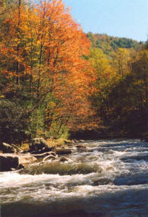
| 05:44, 24 March 2011 | Doe-River-2.jpg (file) |  |
23 KB | 1 | |
| 05:45, 24 March 2011 | Doe-River 1.jpg (file) |  |
20 KB | 1 | |
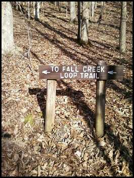
| 21:53, 24 March 2011 | To Fall Creek Loop Trail.jpg (file) |  |
29 KB | 1 | |
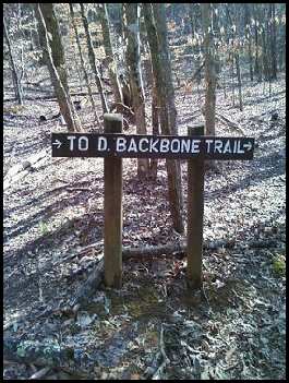
| 22:00, 24 March 2011 | To D Backbone Trail.jpg (file) |  |
27 KB | 1 | |
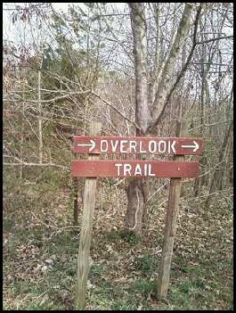
| 05:15, 25 March 2011 | WPSP Overlook Trail sign.jpg (file) |  |
25 KB | 1 | |
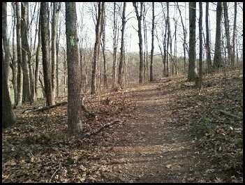
| 05:24, 25 March 2011 | WPSP Overlook Trail path.jpg (file) |  |
23 KB | 1 | |
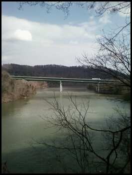
| 05:30, 25 March 2011 | WPSP Overlook Trail - Viewing I-81 Bridge.jpg (file) |  |
18 KB | 1 | |
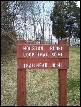
| 05:42, 25 March 2011 | WPSP Holston Bluffs Trail sign.jpg (file) |  |
24 KB | 1 | |
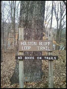
| 05:47, 25 March 2011 | WPSP Holston Bluffs Trail gate sign.jpg (file) |  |
22 KB | 1 | |
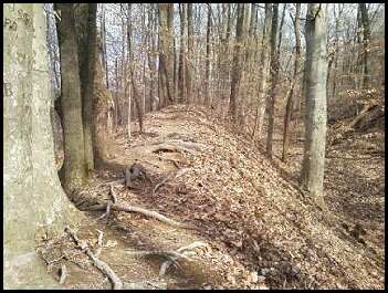
| 05:57, 25 March 2011 | WPSP Holston Bluffs Trail path.jpg (file) |  |
25 KB | 1 | |
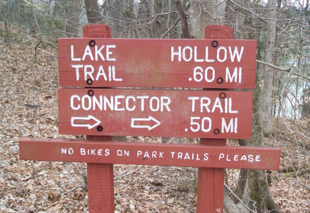
| 15:40, 26 March 2011 | WPSP Lake Hollow Trail sign1.JPG (file) |  |
248 KB | 1 | |
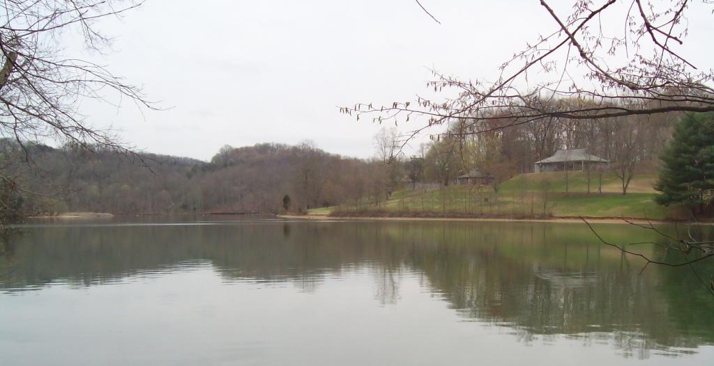
| 15:49, 26 March 2011 | WPSP Lake Hollow Trail - View towards Duck Island.JPG (file) |  |
83 KB | 3 | |
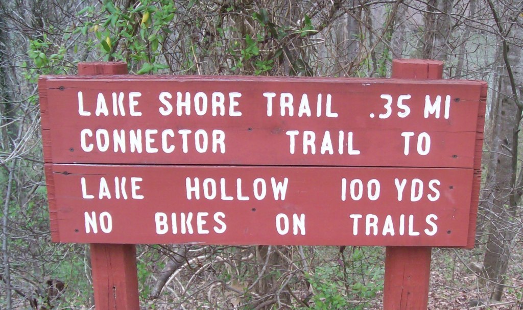
| 22:14, 26 March 2011 | WPSP Lakeshore Trail sign.JPG (file) |  |
198 KB | 1 |