Bear Run Trail: Difference between revisions
m (Add IB marking) |
m (Changing to decimal coords) |
||
| Line 11: | Line 11: | ||
| Elevation Gain = * | | Elevation Gain = * | ||
| High Point = 2371 | | High Point = 2371 | ||
| Latitude = | | Latitude = 36.508732 | ||
| Longitude = | | Longitude = -82.636652 | ||
| Medical = Kingsport, TN | | Medical = Kingsport, TN | ||
<!-- DON'T EDIT THE GOOGLEMAP TAG --> | <!-- DON'T EDIT THE GOOGLEMAP TAG --> | ||
Revision as of 22:33, 22 May 2012
| |||||||||||||||||||||||||||||||||||||
Trail Overview
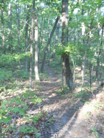
Located in Bays Mountain Park. New mountain biking trail constructed by the local club. Good short alternate ride or hike downhill through hardwood forest.
How to get there
Most folks are going to ride this trail down from Indian Pipes - likely after visiting the firetower. Others might hike it up as a loop with sections of Indian Pipes, Pretty Ridge, and Back Hollow Road.
Route Description
The path meaders through the forest on a route orginally constructed as a hiking trail back in late 1990s.
| Miles | Bear Run Trail | Miles | Elevation (ft) |
|---|---|---|---|
| 0.0 | Trailhead at River Mountain Road | 0.5 | ~2000 |
| 0.5 | Junction with Indian Pipes Trail | 0.0 | 2371 |
Unless the section of Indian Pipes Trail has been renamed, this Bear Run Trail is half the distance shown on the Bays Mountain park map. The distance from River Mountain Road over to the upper trailhead is 0.7 miles.
Typical Conditions
Hard packed trail with groove down the middle from the mountain bikes. Some rocks located at key spots.
Misc. Information
Maps
<googlemap version="0.9" lat="36.510" lon="-82.635" type="terrain" zoom="15" width="725" icons="http://tehcc.org/clubwiki/kml/marker{label}.png"> http://tehcc.org/clubwiki/kml/BMP_Bear_Run_Trail.kml http://tehcc.org/clubwiki/kml/BMP_lake_road.kml http://tehcc.org/clubwiki/kml/BMP_river_mountain_road.kml http://tehcc.org/clubwiki/kml/BMP_Indian_Pipes_Trail.kml http://maps.google.com/maps/ms?msa=0&msid=209607530600230669321.0004a782910eebe8a0387&output=kml
(G) 36.508732,-82.636652
Trailhead at Indian Pipes Trail
A temporary bank sign from a bike rally at intersection
(G) 36.508531,-82.629947
Trailhead at River Mountain Road
</googlemap>
Photos
- Placeholder.gif
