Uploads by Tndude
Jump to navigation
Jump to search
This special page shows all uploaded files.
| Date | Name | Thumbnail | Size | Description | Versions |
|---|---|---|---|---|---|
| 16:49, 4 December 2015 | Black Mountains Poi 01 Dam On Bowlens Creek.jpg (file) |  |
271 KB | Unknown dam on Bowlens Creek. | 1 |
| 16:50, 4 December 2015 | Black Mountains Trailhead 02 Bowlens Creek.jpg (file) |  |
242 KB | The trailhead. Not too much further | 1 |
| 16:50, 4 December 2015 | Black Mountains Parking 02 Bowlens Creek.jpg (file) |  |
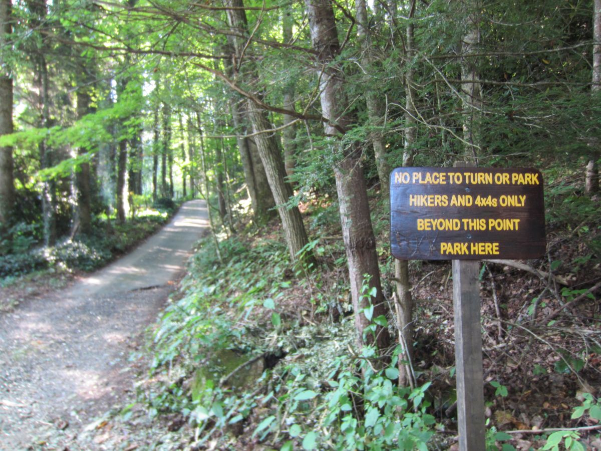
261 KB | Bowlens Creek parking. Only room for one car! | 1 |
| 16:51, 4 December 2015 | Black Mountains Cemetery 01 Simmons Cemetery.jpg (file) |  |
262 KB | Alternative and larger parking at a cemetery on Bowlens Creek Road | 1 |
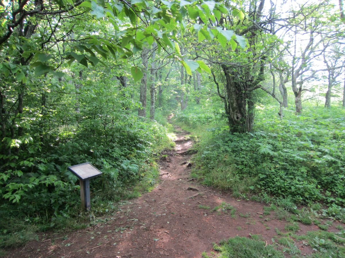
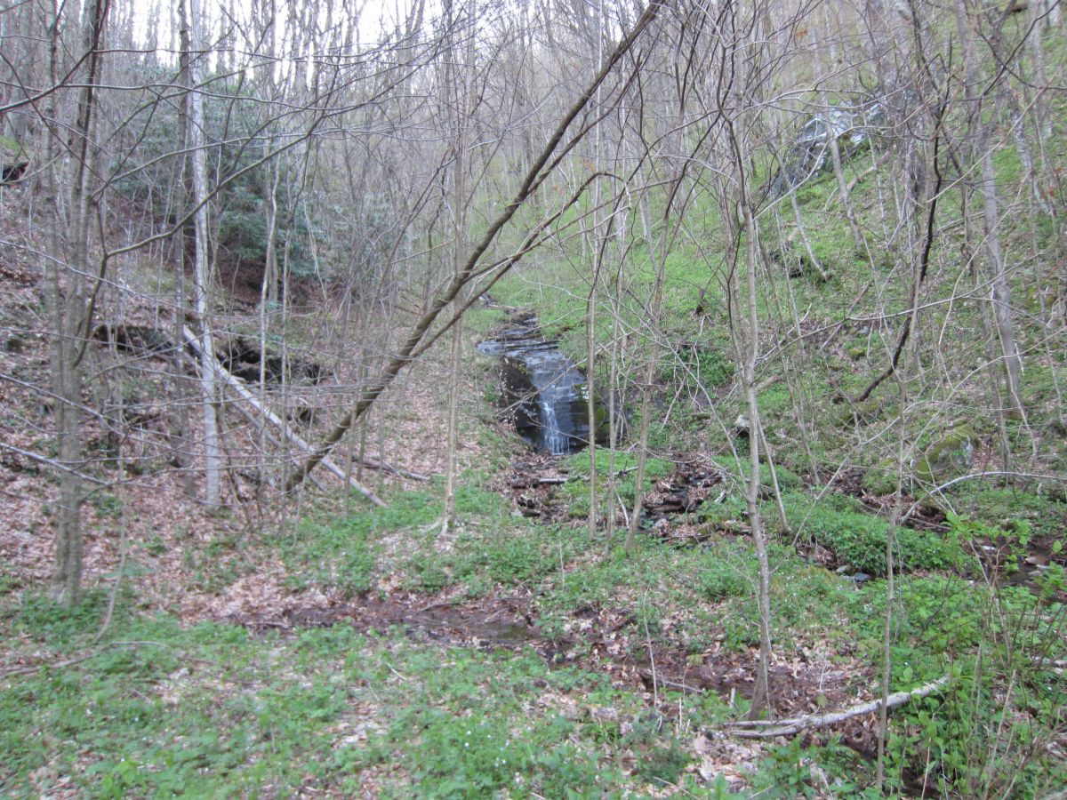
| 15:13, 8 January 2016 | HCCSNA Birchfield Creek Crossing.jpg (file) |  |
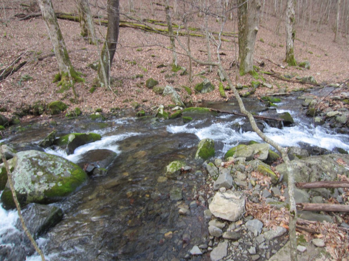
245 KB | Creek crossing on Birchfield Trail | 1 |
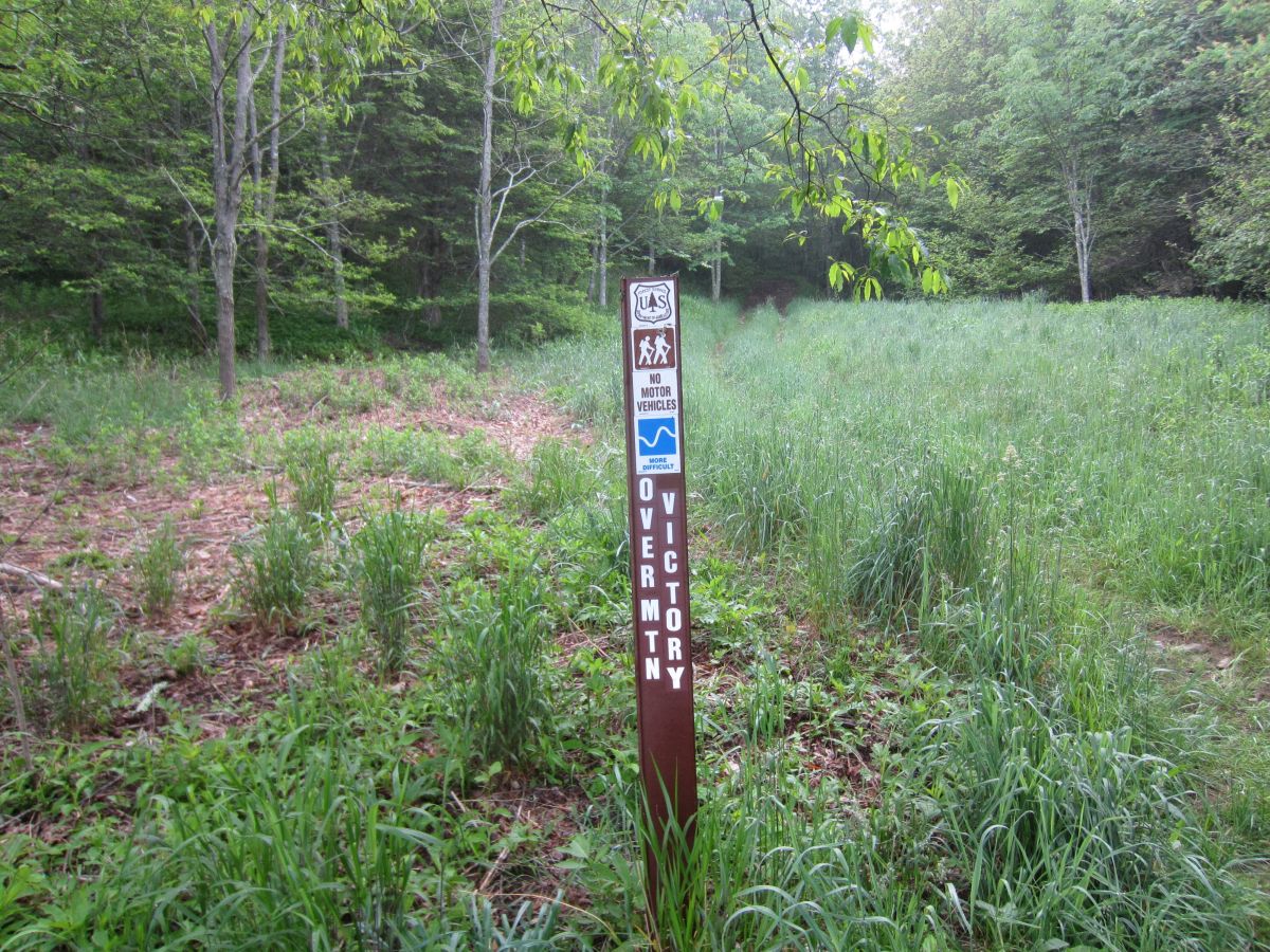
| 15:14, 8 January 2016 | HCCSNA Blaze.jpg (file) |  |
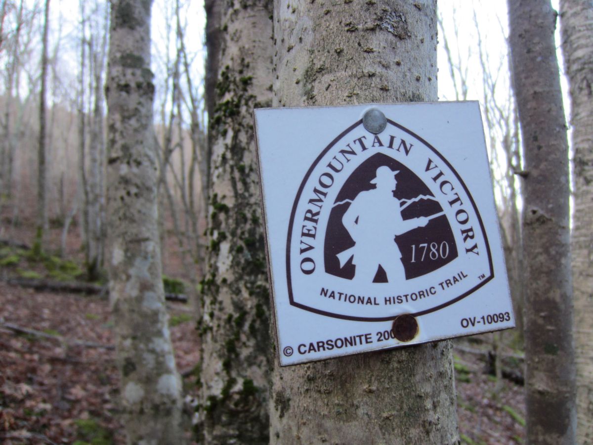
173 KB | Blaze | 1 |
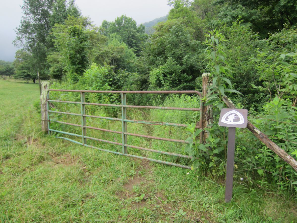
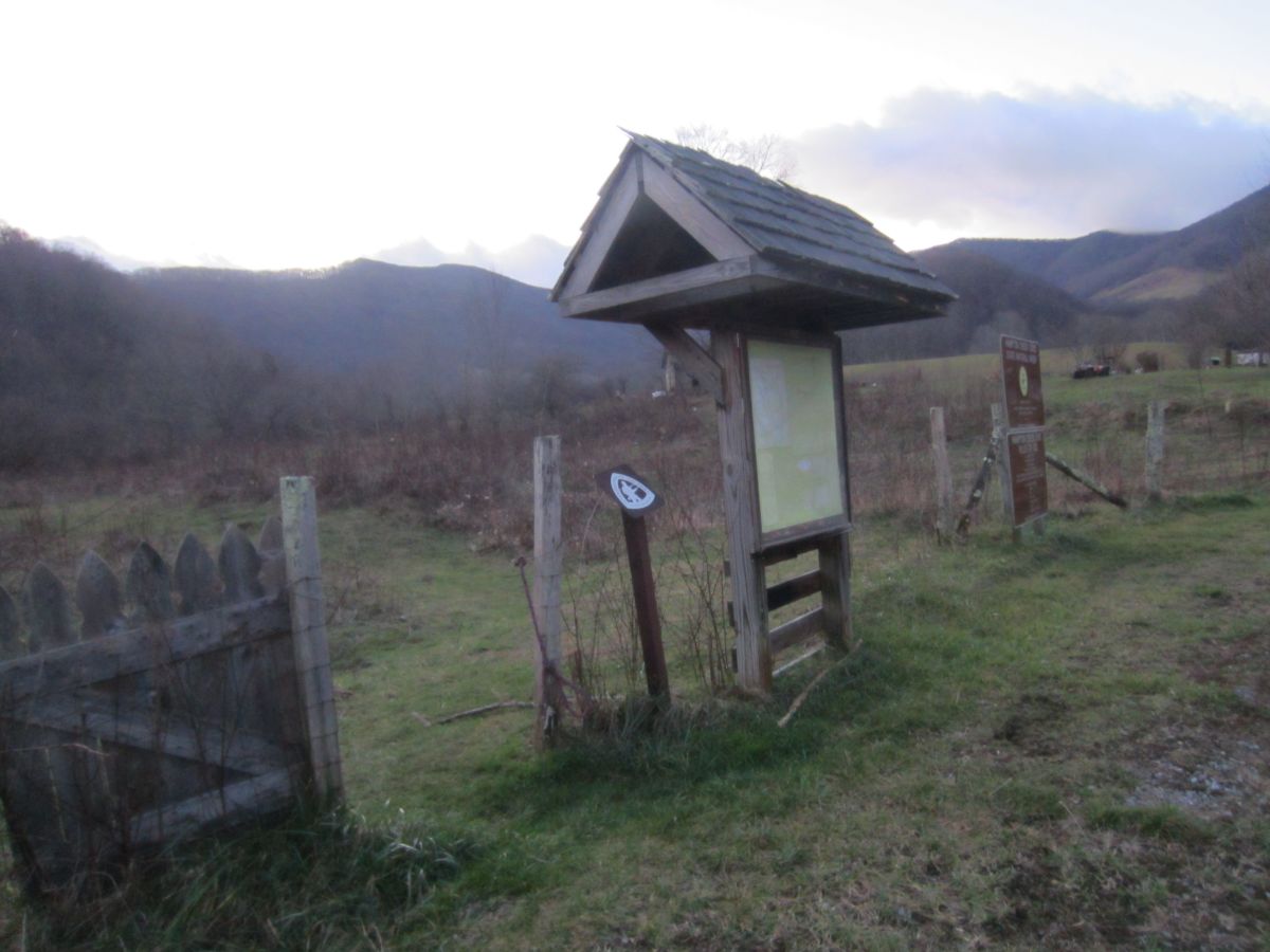
| 15:15, 8 January 2016 | HCCSNA Farm Gate 01.jpg (file) |  |
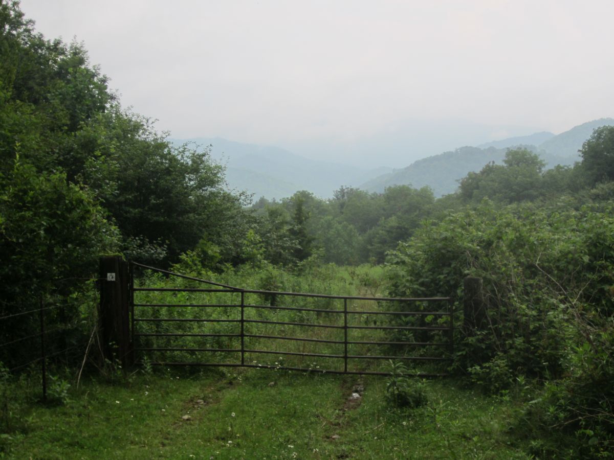
160 KB | Farm Gate on OVNHT | 1 |
| 15:16, 8 January 2016 | HCCSNA Farm Gate 02.jpg (file) |  |
285 KB | Farm Gate on OVNHT | 1 |
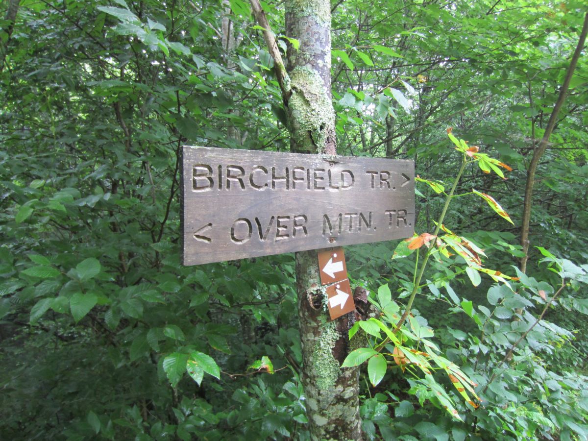
| 15:17, 8 January 2016 | HCCSNA Junctions North.jpg (file) |  |
278 KB | Birchfield Trail North Junction | 1 |
| 15:18, 8 January 2016 | HCCSNA Junctions Shelter Trail.jpg (file) |  |
262 KB | Shelter Trail Junction | 1 |
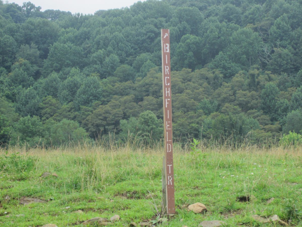
| 15:19, 8 January 2016 | HCCSNA Junctions South.jpg (file) |  |
224 KB | Birchfield Trail South Junction | 1 |
| 15:20, 8 January 2016 | HCCSNA Junctions Yellow Mountain Gap.jpg (file) |  |
329 KB | Yellow Mountain Gap | 1 |
| 15:20, 8 January 2016 | HCCSNA Overmountain Barn From AT.jpg (file) |  |
204 KB | Overmountain Barn viewed from the AT | 1 |
| 15:24, 8 January 2016 | HCCSNA Trailhead Hampton Creek.jpg (file) |  |
123 KB | Hampton Creek Trailhead | 1 |
| 15:25, 8 January 2016 | HCCSNA Trailhead Roaring Creek.jpg (file) |  |
340 KB | Roaring Creek Trailhead | 1 |
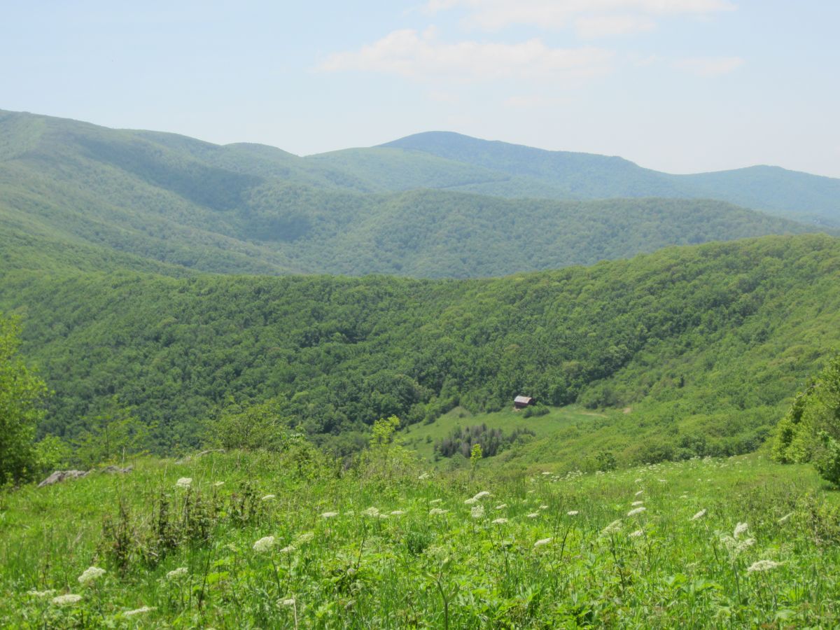
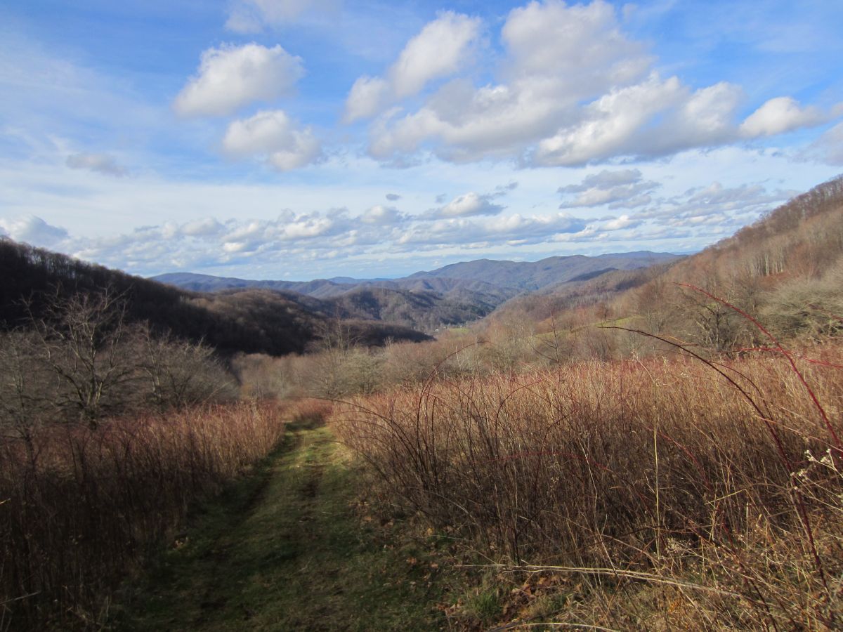
| 15:26, 8 January 2016 | HCCSNA View Into Hampton Cove.jpg (file) |  |
190 KB | View into Hampton Cove on OVNHT | 1 |
| 17:29, 11 January 2016 | MarkerY.png (file) |  |
777 bytes | 1 | |
| 17:30, 11 January 2016 | MarkerT.png (file) |  |
689 bytes | Reverted to version as of 13:27, 27 September 2015 | 3 |
| 17:31, 11 January 2016 | MarkerX.png (file) |  |
903 bytes | 1 | |
| 17:32, 11 January 2016 | MarkerW.png (file) |  |
1,004 bytes | 1 | |
| 17:35, 11 January 2016 | Marker1.png (file) |  |
1,018 bytes | 1 | |
| 17:35, 11 January 2016 | Marker2.png (file) |  |
657 bytes | 1 | |
| 09:49, 15 January 2016 | Steele Creek Park.jpg (file) |  |
505 KB | Stock Photo | 1 |
| 15:06, 27 January 2016 | MarkerP.png (file) |  |
586 bytes | Summit Marker | 1 |
| 16:31, 2 February 2016 | AM Three Top Mountain View From 88.jpg (file) |  |
107 KB | View Of Three Top Mountain coming from NC 88 | 1 |
| 16:32, 2 February 2016 | AM Three Top Mountain Trailhead.jpg (file) |  |
203 KB | The small gravel trailhead | 1 |
| 16:32, 2 February 2016 | AM Three Top Mountain Cascade.jpg (file) |  |
332 KB | An unnamed cascade at the start | 1 |
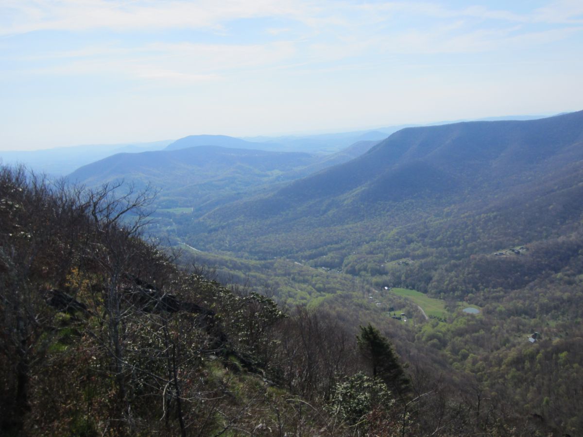
| 16:33, 2 February 2016 | AM Three Top Mountain HK View 1.jpg (file) |  |
184 KB | Looking north over the rugged ridgeline towards Phoenix Mountain. | 1 |
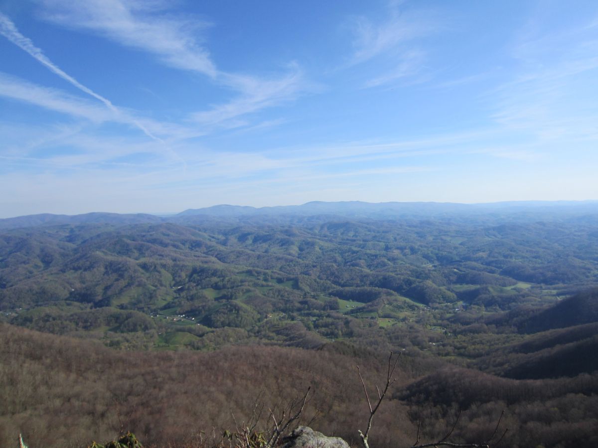
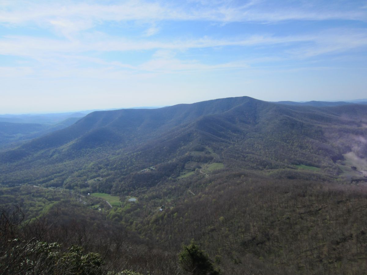
| 16:35, 2 February 2016 | AM Three Top Mountain HK View 2.jpg (file) |  |
196 KB | Main view of the Amphibolite Mountains south. Large peak in foreground is Big Rock. The Roan Highlands and Grandfather Mountain can all be seen here on clear days. | 1 |
| 16:36, 2 February 2016 | AM Three Top Mountain HK View 3.jpg (file) |  |
119 KB | Looking towards Whitetop Mountain, Mount Rogers and the Grayson Highlands in Virginia. | 1 |
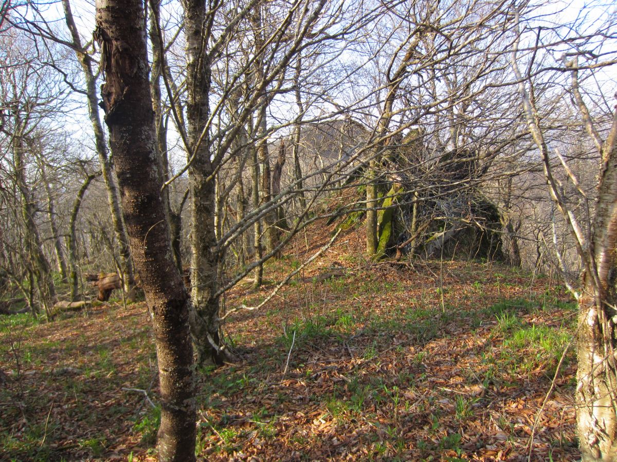
| 16:37, 2 February 2016 | AM Three Top Mountain BR Path.jpg (file) |  |
410 KB | The start of the bushwhack towards Big Rock. Open forest all of the way. | 1 |
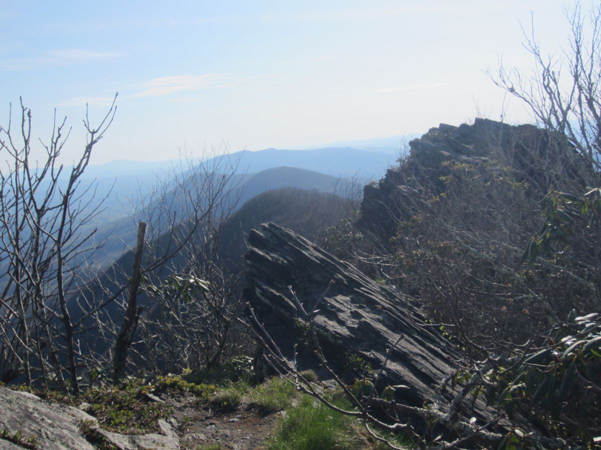
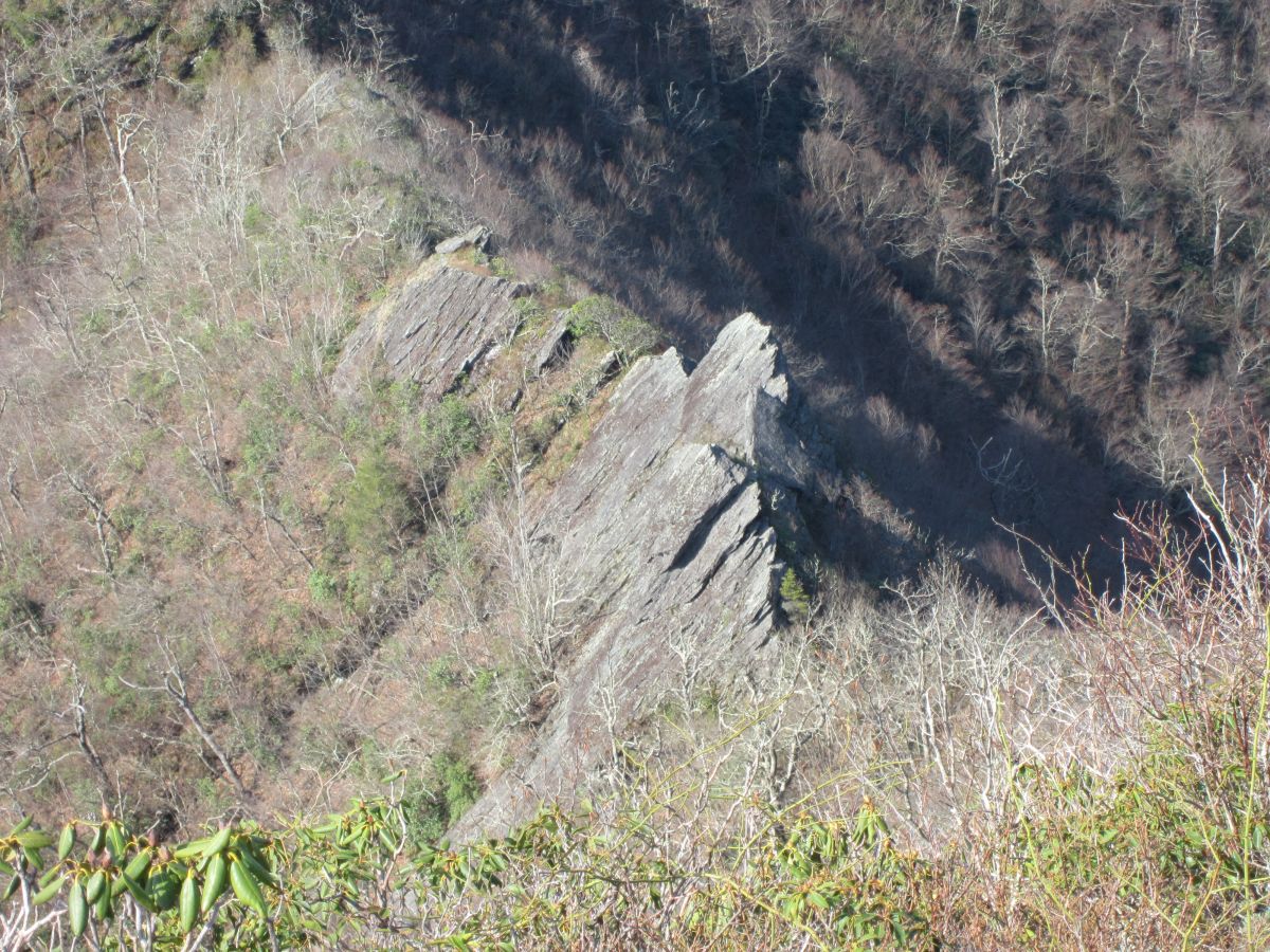
| 16:38, 2 February 2016 | AM Three Top Mountain BR Cliffs 1.jpg (file) |  |
204 KB | Starting the rock scramble. You are really exposed here. | 1 |
| 16:38, 2 February 2016 | AM Three Top Mountain BR Cliffs 2.jpg (file) |  |
261 KB | Almost there. One final push. | 1 |
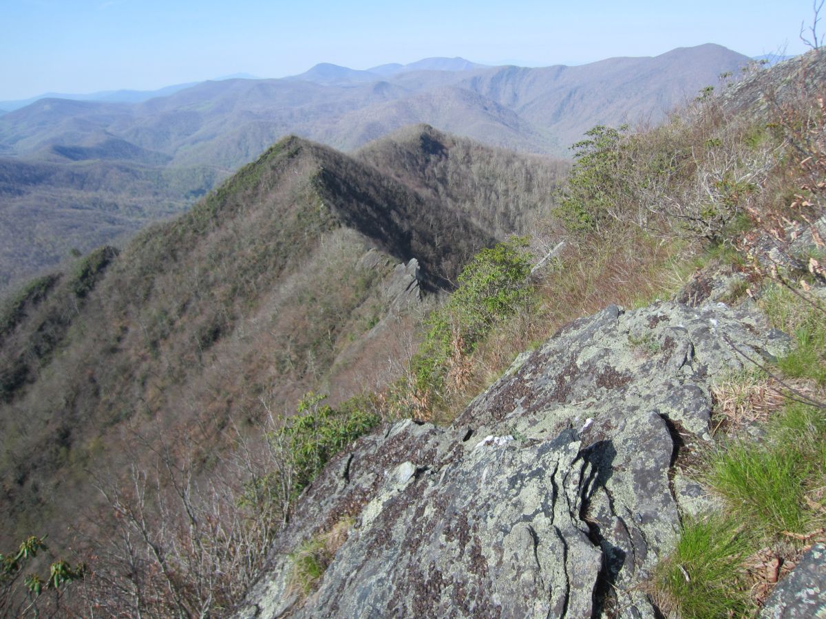
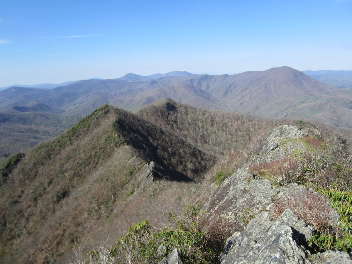
| 16:39, 2 February 2016 | AM Three Top Mountain BR Knifeedge.jpg (file) |  |
328 KB | You don't get much more knife-edge than this | 1 |
| 16:40, 2 February 2016 | AM Three Top Mountain BR View 1.jpg (file) |  |
140 KB | Looking down the valley. Mount Jefferson sticking it's head up in the distance | 1 |
| 16:41, 2 February 2016 | AM Three Top Mountain BR View 2.jpg (file) |  |
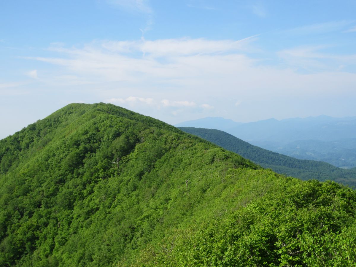
206 KB | Pretty much the entire Amphibolite Range north of Boone is visible here plus the Roan Highlands and Grandfather Mountain. | 1 |
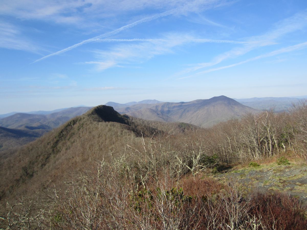
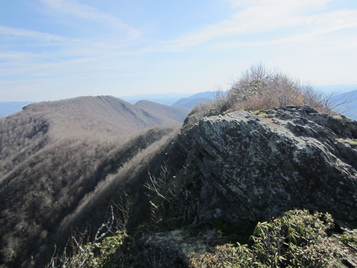
| 16:42, 2 February 2016 | AM Three Top Mountain BR View 3.jpg (file) |  |
163 KB | Looking back at the way you came. Huckleberry Knob in the background. | 1 |
| 16:42, 2 February 2016 | AM Three Top Mountain BR View 4.jpg (file) |  |
122 KB | Bluff Mountain across the valley | 1 |
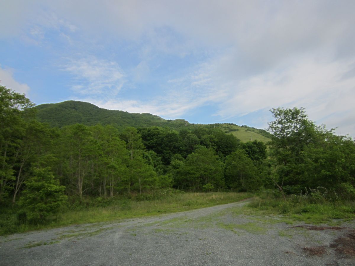
| 16:58, 24 February 2016 | AM Snake Mountain Parking Area.jpg (file) |  |
141 KB | 2 | |
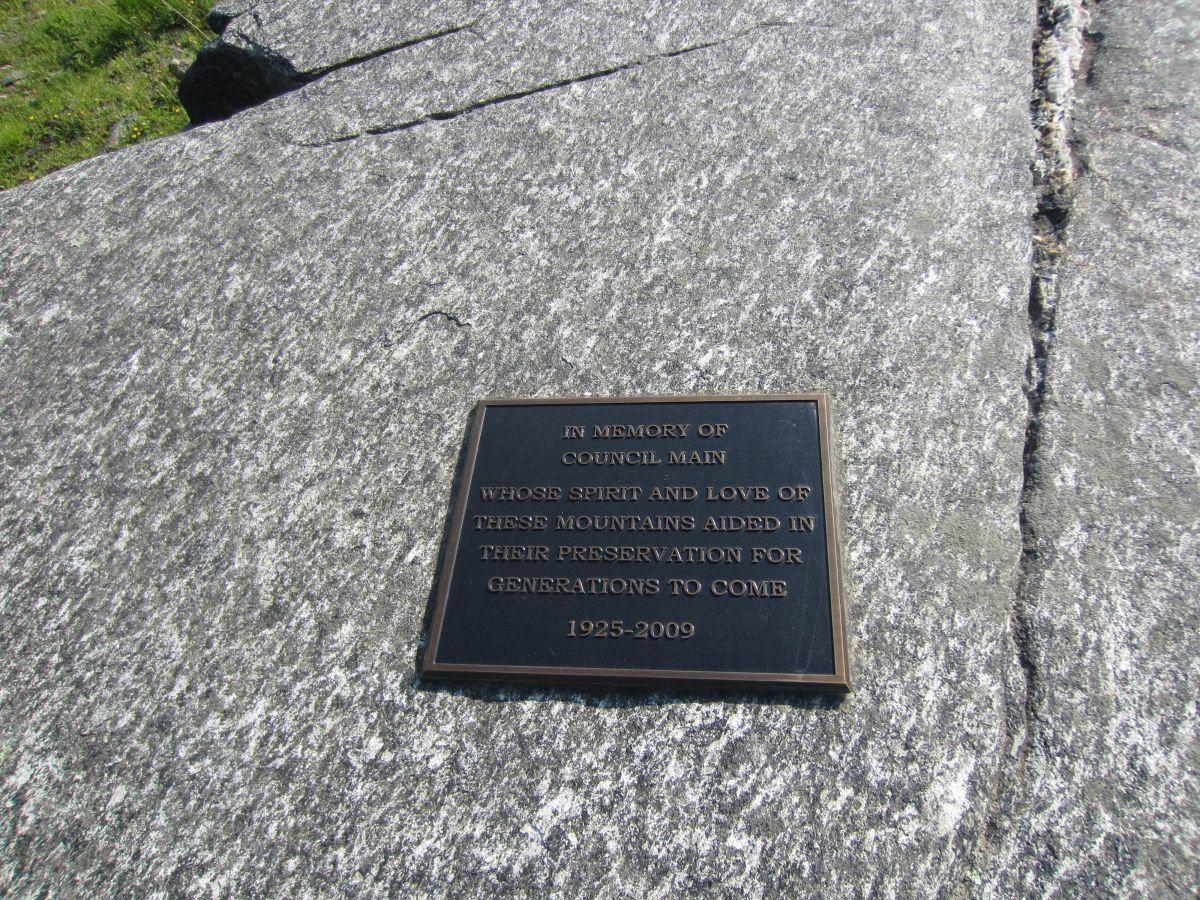
| 17:00, 24 February 2016 | AM Snake Mountain Plaque.jpg (file) |  |
396 KB | Plaque dedicated to Council Main | 1 |
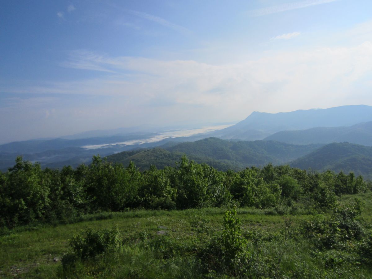
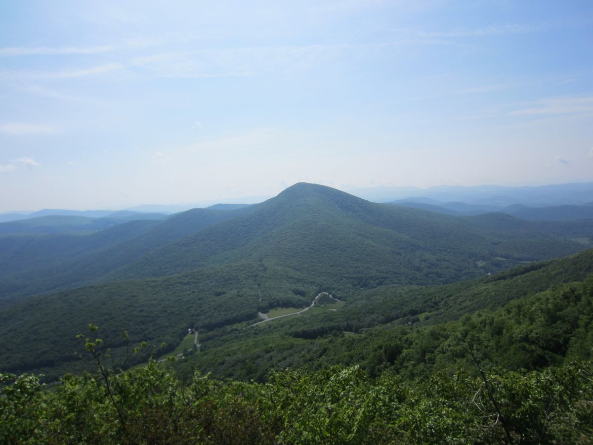
| 17:01, 24 February 2016 | AM Snake Mountain The Peak.jpg (file) |  |
138 KB | The view north from the open fields of Snake Mountain. The Peak is the obvious mountain in the distance. | 1 |
| 17:02, 24 February 2016 | AM Snake Mountain Elk Knob.jpg (file) |  |
155 KB | Looking down the valley between Snake Mountain and Elk Knob. The mountains in the distance hover over Boone NC. | 1 |
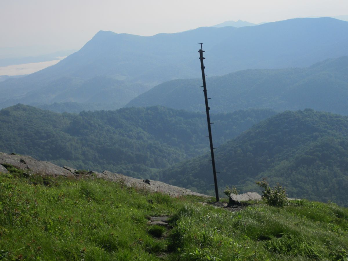
| 17:03, 24 February 2016 | AM Snake Mountain Pole.jpg (file) |  |
138 KB | Not sure of the purpose of this pole but it make for a nice subject with a dramatic backdrop. | 1 |
| 17:04, 24 February 2016 | AM Snake Mountain Sunalei Preserve.jpg (file) |  |
205 KB | Sunalei Preserve. Very large expensive homes on the side of a mountain. Yuck! | 1 |
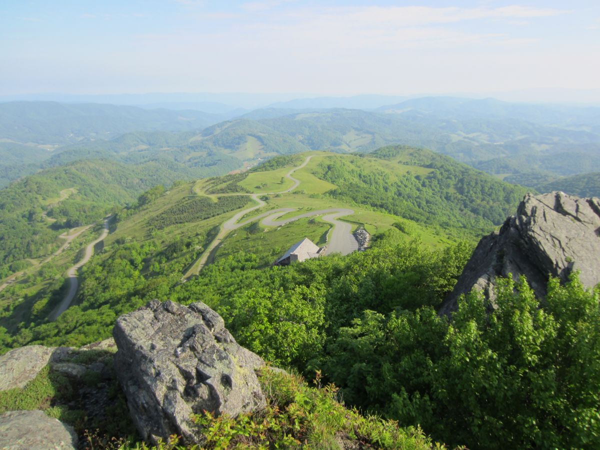
| 17:04, 24 February 2016 | AM Snake Mountain North Summit.jpg (file) |  |
211 KB | Approaching the North Summit. This is the high point of Johnson County TN. | 1 |
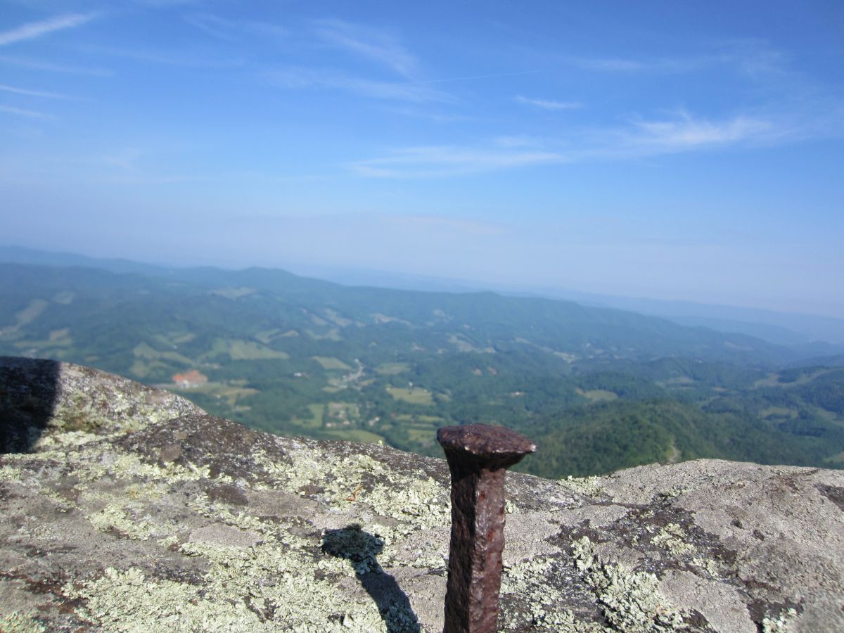
| 17:05, 24 February 2016 | AM Snake Mountain Spike.jpg (file) |  |
177 KB | No benchmark but this metal spike marks the summit. 360 degree views! | 1 |
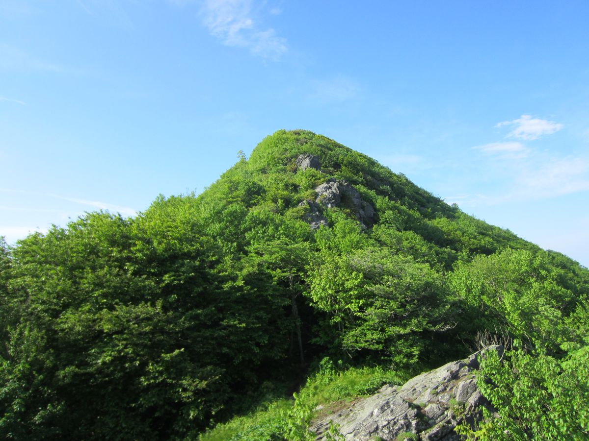
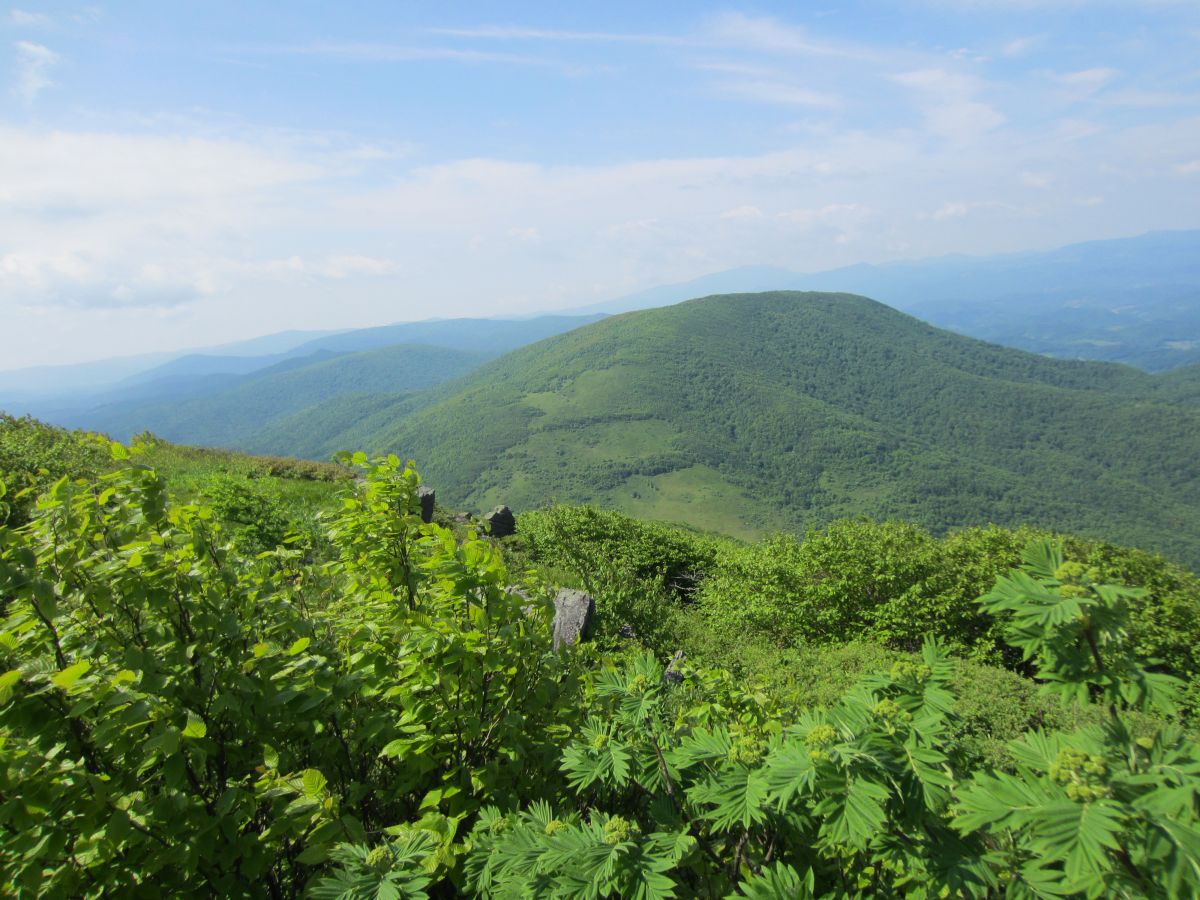
| 17:05, 24 February 2016 | AM Snake Mountain South Summit.jpg (file) |  |
193 KB | Looking towards the south summit. Grandfather Mountain, Sugar Mountain and Hanging Rock off in the distance | 1 |
| 17:06, 24 February 2016 | AM Snake Mountain View Elk Knob.jpg (file) |  |
128 KB | Looking across the valley on the ridgeline towards Elk Knob. | 1 |
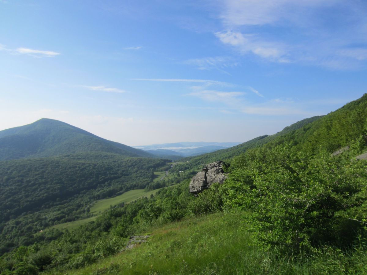
| 17:07, 24 February 2016 | AM Snake Mountain Rich Mountain.jpg (file) |  |
207 KB | The meadow after the south summit. Rich Mountain dominates your view here. Grandfather Mountain and the ski areas directly above it in the distance. | 1 |
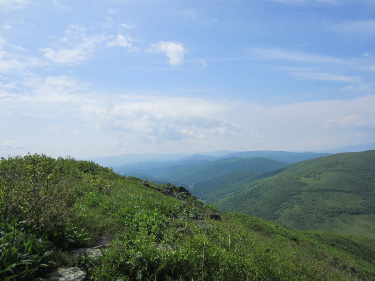
| 17:07, 24 February 2016 | AM Snake Mountain View Meadow.jpg (file) |  |
150 KB | Looking towards the mountains over Boone NC | 1 |