File:PotatoTop.jpg
Jump to navigation
Jump to search


Size of this preview: 800 × 600 pixels. Other resolution: 1,600 × 1,200 pixels.
Original file (1,600 × 1,200 pixels, file size: 419 KB, MIME type: image/jpeg)
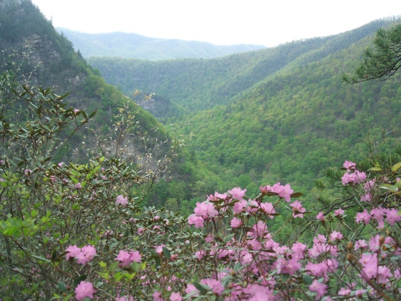
| Trail | Dennis Cove Rd to Wilbur Dam Rd, Laurel Fork Gorge |
|---|---|
| Park | |
| Caption | View of Laurel Fork Gorge from Potato Top |
File history
Click on a date/time to view the file as it appeared at that time.
| Date/Time | Thumbnail | Dimensions | User | Comment | |
|---|---|---|---|---|---|
| current | 13:44, 24 May 2011 | | 1,600 × 1,200 (419 KB) | Trungeto (talk | contribs) |
You cannot overwrite this file.
File usage
The following page uses this file: