Trip Report – Margarette Falls

Trip Date: January 17th
Schaefer Family Reporting

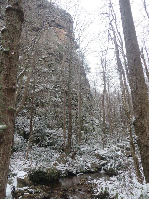
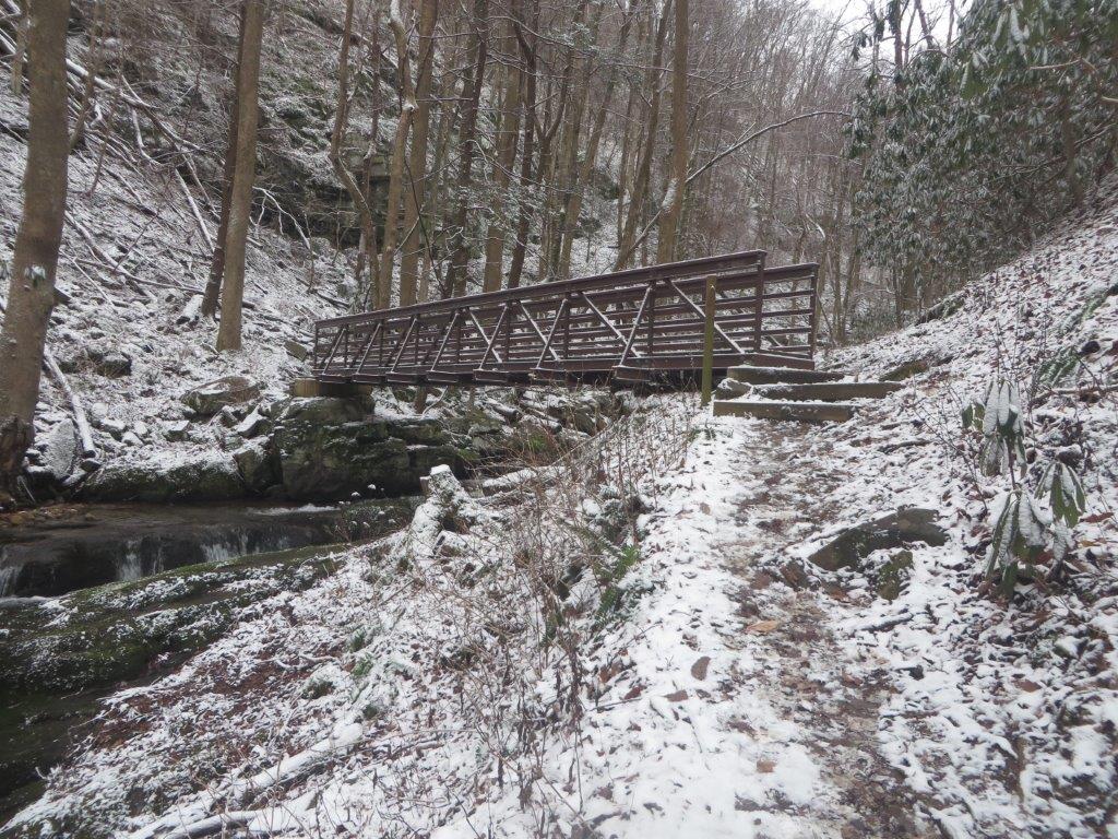
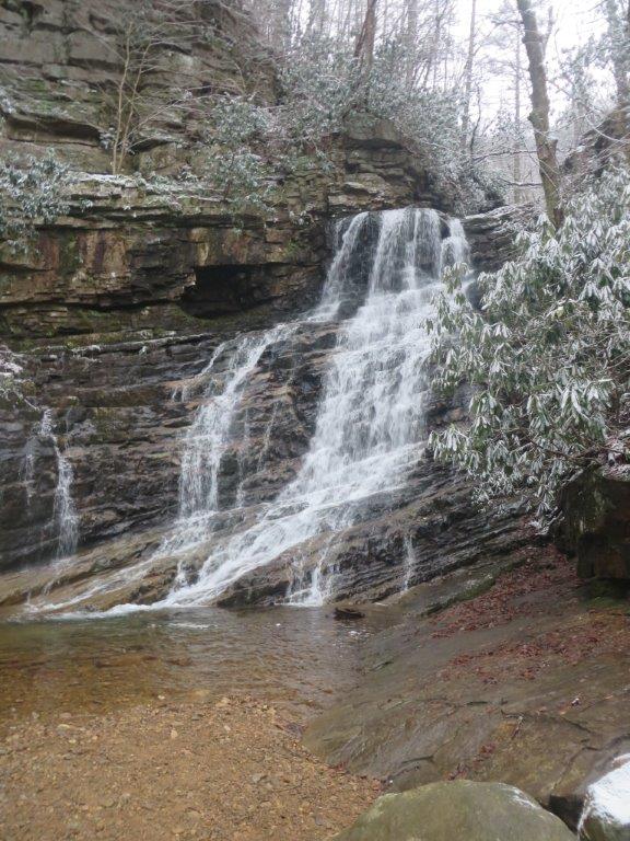
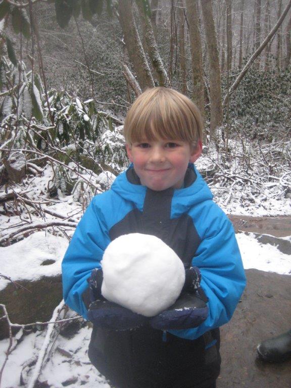
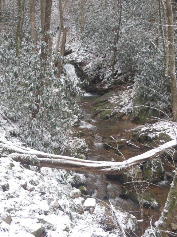
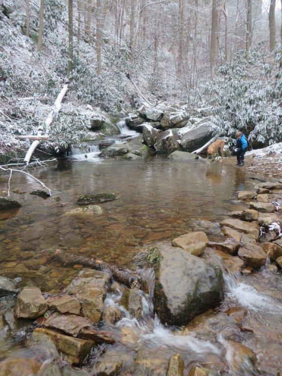
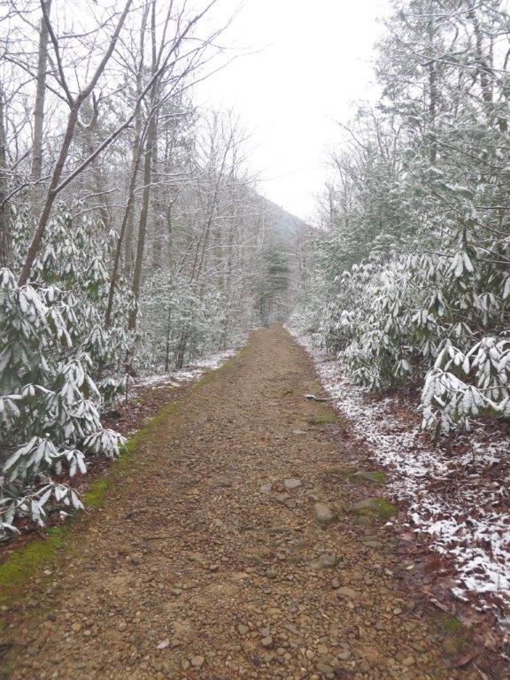
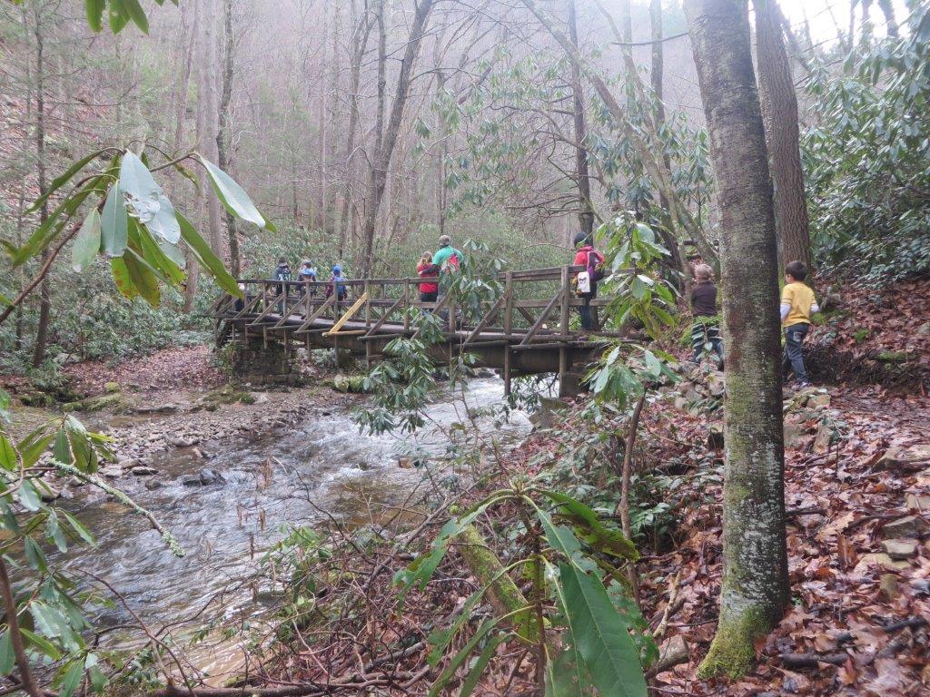
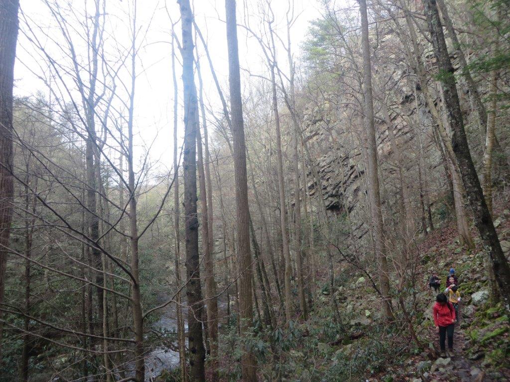
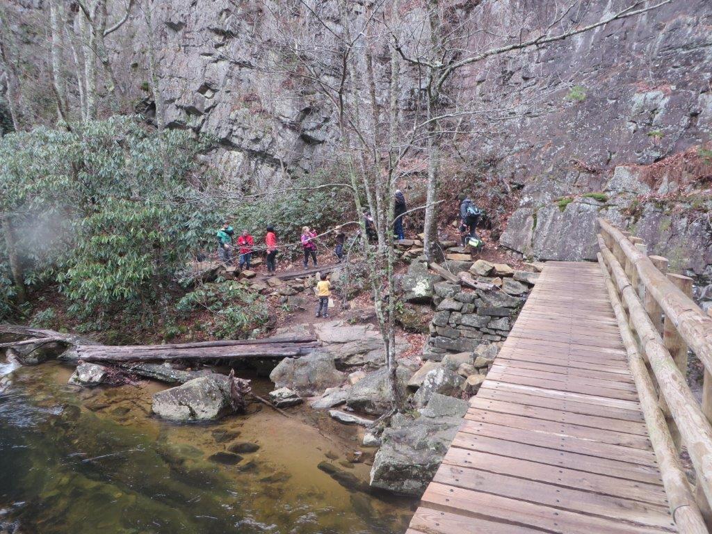
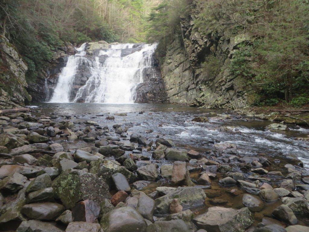
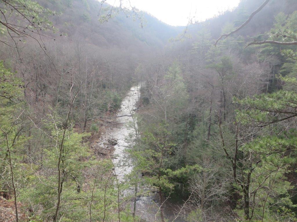
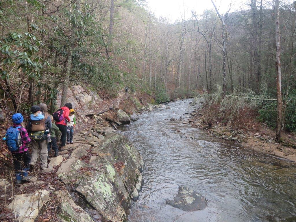
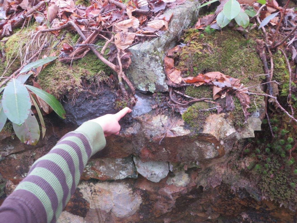
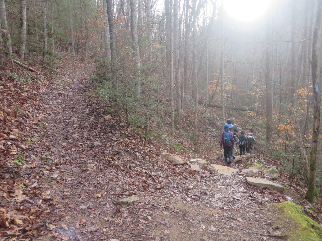
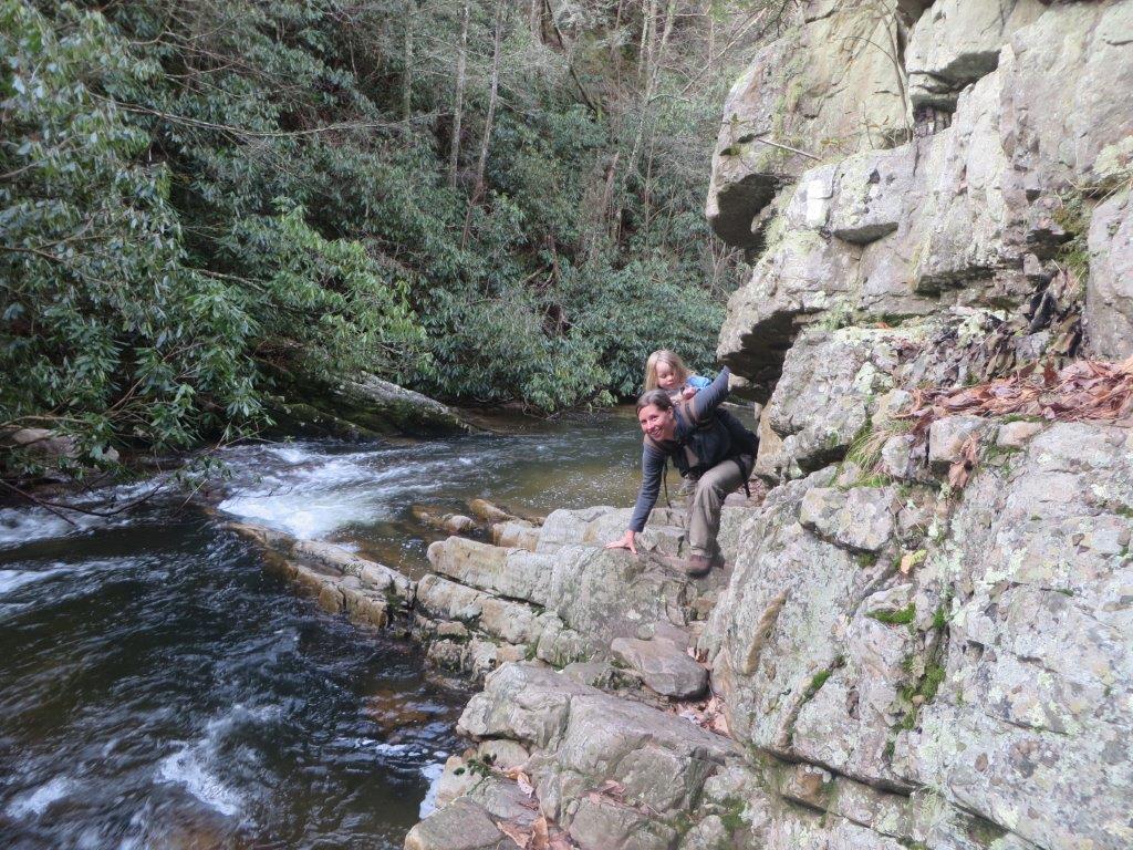
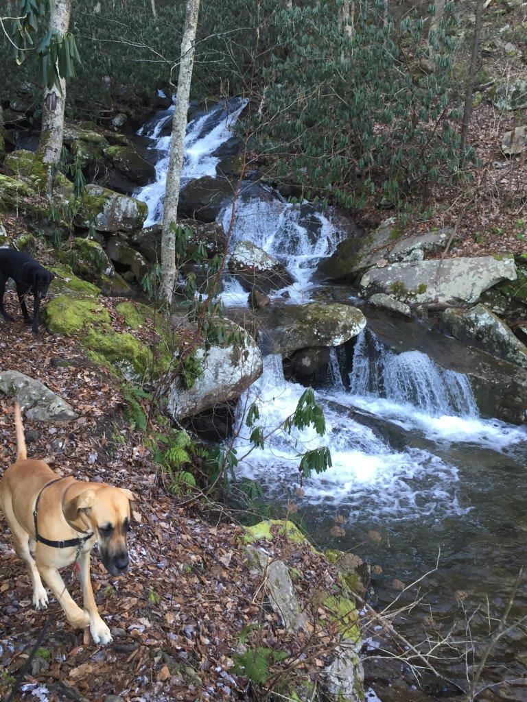
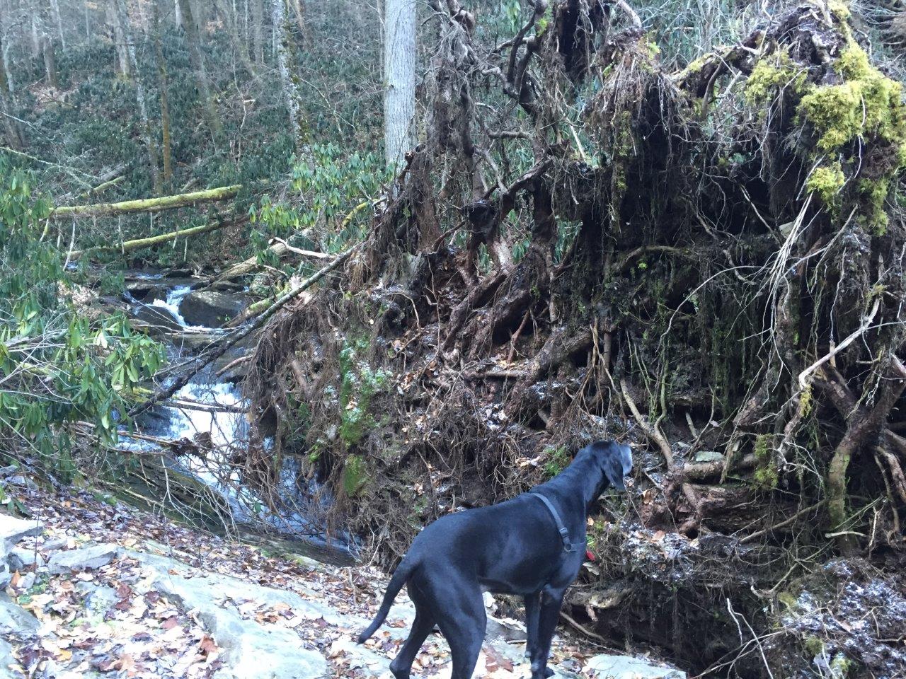
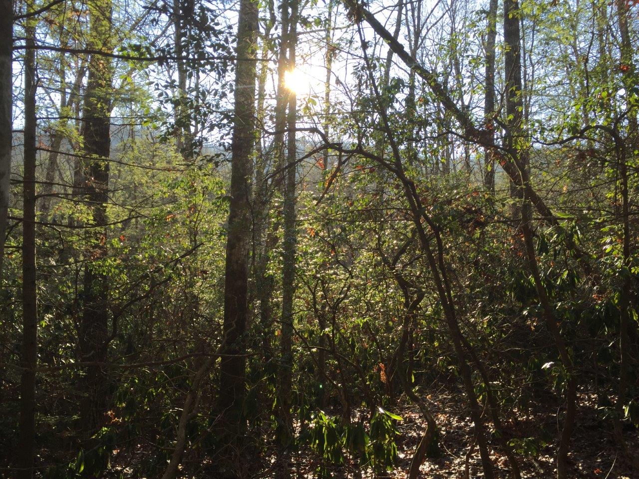
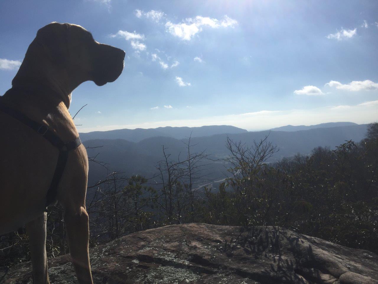
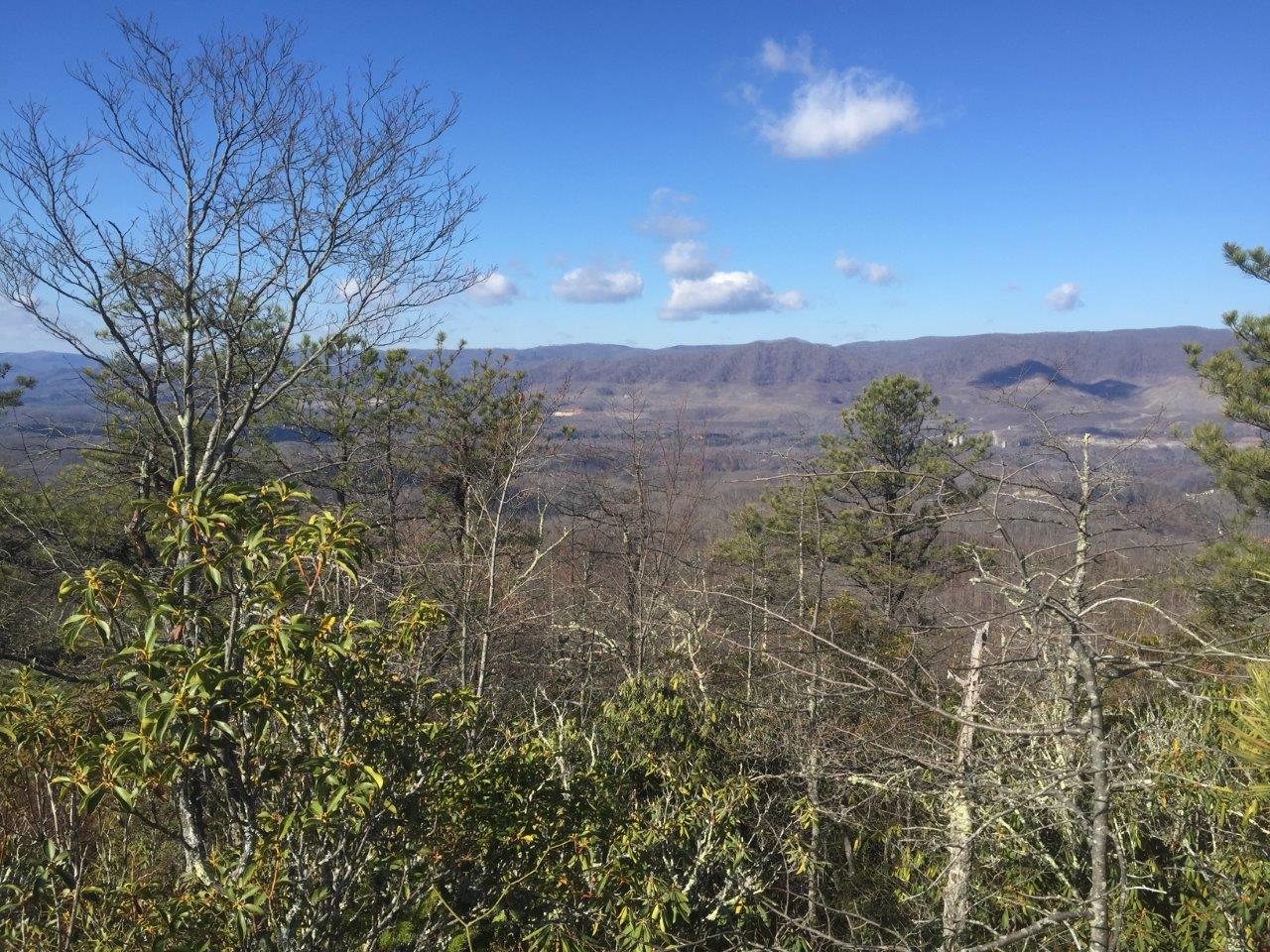
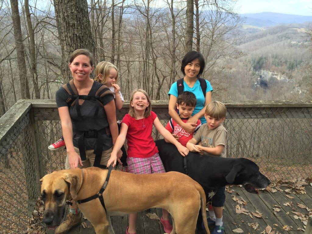
Our timing is off in planning these hikes. Another missed chance to see frozen falls as it’s surely bedecked with ice now. Alas the problem with planning one to two months ahead. I just have to put it on the calendar and hope for the best. It is not to say that it wasn’t worth it. Despite no ice, the trail scenery was beautiful with freshly fallen snow and frosted top mountains. The hike was fairly straight forward, well worn, and well marked. We made our way to the falls, enjoyed the view and a quick snack and got moving again before the cold got to us. The return home included a stop at the Greeneville Pizza Inn. No takers on this hike, just the Schaefer family including dogs Zoinks! and Beetle.

We saw the profile of a face.
Quite the stout bridge out here
One day I'll see you covered in ice
One day I’ll see you covered in ice
Someone will surely suffer from this
It's cold - where's the ice?
It’s cold – where’s the ice?
Rock hopper
Rock hopper
Snow flocked hike
Snow flocked hike

Hike Report – Laurel Fork Gorge and Falls 1/9/2016

Tim Schaefer Reporting
Frozen waterfall hikes in this area can be fickle. Although the beginning of the New Year was cold, we finished the week with some warm days. This apparently melted away whatever ice may have formed. It didn’t matter, as often, the destination is a motivator, but it’s the journey that is enjoyed best. The hike began at US321 to the AT and on to the falls. After enjoying a cool (but not frozen) stop at the falls for lunch, we decided to hike up out of the gorge to see the Koonford Bridge redone in 2014. The hike was more steps than I remembered the last time I visited here five years ago. We made it to the bridge and returned except staying on High Water Trail to see more trail (but really to avoid the descent back into the gorge). Joining us today was the Schaefer Family (Tim, Carrie, Jamie, Bob, Josie), the Zimmerman Family (Yuyan and Frankie), Jeffery and Amy Bryan, Gabrielle Ashley with dog Lucy, and Andrew.

bridge crossing Down in the gorge Koonford bridge Laurel Fork Falls Laurel Fork Gorge streamside hiking The only ice to be found Trail decisions wild adventurers

From the Chair – January 2016

William Werner, Steering Committee Chair Reporting
Happy New Year, everyone! It’s going to be a great year for hiking, paddling, and maintaining, and I’m grateful for the opportunity to serve. I want to sincerely thank all of our members for the time and effort they invested in the club in 2015, and I encourage everyone to make 2016 even better. Serving on the steering committee for the past year has shown me that the officers and committee are only a small part of the club—it’s the contributions of the members that make this club great.

This coming year we have three members who are rotating off the committee: Fred Mullner, Michael Watts, and Brien Lewis.  Steve Ankabrandt will continue as past-chair, Yancey Appling as treasurer, and Vic Hasler as a non-voting representative of the A.T. Committee. We also welcome our new Committee members:  Mark Cox, Lane Daley, Kay Parker, and Tim Schaefer. With such an experienced and talented team, I’m confident the club can overcome any challenge it faces.

See you on the trail!

Hike Report – Roaring Branch Trail

Tim Schaefer Reporting
Hike date: 12/19/2015
“It will be a tough hike with all of the downed trees and overgrown brush.” As said by Vic Hasler, or something close to that. He wasn’t too far off. [[Roaring Branch Trail]] is an in-and-out 8mi hike and a mostly uphill climb from the road to the overlook. Not having any takers to join me, possibly partly due to the below-freezing morning that was forecast, I decided to bring the dogs with me. They’re two Great Danes often mentioned in trip reports, Zoinks! and Beetle. The wiki was right. The parking area is not much more than a narrow gravel shoulder on a curve of Business 23/Roaring Branch Rd. It made for some nervous dog wrangling as trucks and cars zipped by us. The light snow cover and brisk morning, to me, was perfect for a weekend hike. Several sections of trail as warned by Vic have some significant downed tree sections. Some were simple hop overs, others could be walked around, several required climbing over and under patches of downed logs. I didn’t have too many problems, but my four legged companions had some more difficulty. A few times I thought we would have to turn back, but we eventually found a way through the mess. Also difficult were the stream crossings. Roaring Branch was flowing quite well. This was the dogs’ chance to show off an easy passing while I struggled to find a rock hopping path but managed to keep my feet dry. We made it to the High Butte overlook and enjoyed lunch. I noticed that the yellow blazed trail does continue past the overlook on the right. I thought about exploring it, but with a family out home and two tired dogs that normally spend the day napping on their bed I saved that for another day.

Falls at the trail head
Zoinks! inspects a massive blowdown
Who would pass up a chance to hike on a morning like this!
Beetle admires her believed kingdom
View south from High Butte overlook
The repercussions of eight miles of hiking for our beasts of comfort.

Hike Report – Purchase Ridge at Natural Tunnel

Tim Schaefer Reporting
Hike Date: 12/13/2015

The Zimmerman family joined us for this 3.26mi hike on [[NTSP Purchase Ridge Trail|Purchase Ridge Trail]] at [[Natural Tunnel State Park]]. It was a great late fall day and fun was had by all. The trails were in good shape and the views of the tunnel were fairly clear to see with the absence of foliage. As luck would have it, shortly after starting our return we hear a train whistle in the distance. The trail head is a little hard to find with no clear parking area near by but the detail on the wiki was good enough to get us to find it. Since the campground was closed we parked at the camp store, but it’s not clear where you would park in the summer months. Having fun was the Schaefer Family (Tim, Carrie, Jamie, Bob, Josie and dogs Zoinks! and Beetle) and the Zimmerman Family (Yuyan and Frankie).

purchase ridge

F/B: Natural Tunnel, Purchase Ridge Trail, Sunday, December 13, 2015

Leaders: Tim & Carrie Schaefer, 423-302-0846
Rating: Family/Beginner

Come on this Family/Beginner hike to view the Natural (Train) Tunnel in Virginia. The plan is to depart the Colonial Heights meeting location at 12:30 and be at the trail head and on the trail by 1:30 pm. Prior contact is not required but is appreciated so we know to look for you. Contact hike leaders Tim & Carrie Schaefer for caravan or carpooling, 423-302-0846, timcarrie@tehcc.org

Welcome Amy Snyder as ATC SORO Resource Management Coordinator

Vic Hasler reporting

Amy received a B.S. in Biology from Armstrong Atlantic State University in 2006. As a graduation present to herself, she decided to thru-hike the Appalachian Trail. During her hike, she witnessed the dramatic devastation of the forest caused by the gypsy moth invasion. This experience inspired her to pursue a M.S. in Entomology from Virginia Tech. Since graduation in 2011, she has been working towards forest protection in the natural sciences and natural resources fields. In her free time, Amy enjoys hiking, whitewater kayaking, and mountain biking. She can be reached at asnyder@appalachiantrail.org.

Trail Wiki News

I updated a good amount of content during the month of October, including Rogers Ridge Horse Trail, Bays Mountain, and Warriors’ Path State Park . It’s becoming too much work to go out hiking! As for the inner workings, I’ve turned back on anonymous edits and user account creation. It’s working great to stop the vandals, but still no new editors have been contributing. I’ve also started a concept of “hike plans.” These will be pages that assemble a collection of trail hikes into a single plan. Bays Mountain and their network of trails are prime examples of needing hike plans. An 11 miles tour of structures within the park is an early example. I call it the Bays Mountain Structure Tour and will lead this hike as part of the fall Expo.

Speaking of contributing, it is a wiki and, yes, we would love your help. We have documented 168 trails, some with little more than just their trail name, and I know there are many more within a 2-4hr drive that we haven’t even listed yet. Although I promise that wiki editing is easy and that you can’t permanently mess it up (all edits are saved, past versions can be reviewed, and edits can always be undone), you can always email me at tim@tehcc.org with any desired corrections. But get in there, try out wiki editing, and help make this site the resource to find out about great hikes in our area.